The best running trails around Sillavengo
4.5
(18)
629
runners
63
runs
Jogging around Sillavengo offers opportunities to explore the rural landscapes of the Province of Novara, Italy. The region is characterized by agricultural land and quiet country roads, providing serene running environments. Nearby, the Lagoni di Mercurago Nature Park features diverse terrain with peat bogs, expansive meadows, and wooded areas, offering varied running trails. The area also provides views of the Sesia River and distant glimpses of Monte Rosa.
Best jogging routes around Sillavengo
- The most popular jogging route is Running…
Last updated: July 1, 2026
21
runners
11.4km
01:11
30m
30m
Moderate run. Good fitness required. Mostly paved surfaces. Suitable for all skill levels.
18
runners
8.84km
00:57
90m
90m
Moderate run. Good fitness required. Mostly paved surfaces. Suitable for all skill levels.

Sign up for free
7
runners
4.67km
00:30
10m
10m
Easy run. Great for any fitness level. Mostly paved surfaces. Suitable for all skill levels.
4.0
(1)
5
runners
6.96km
00:45
10m
10m
Moderate run. Good fitness required. Mostly paved surfaces. Suitable for all skill levels.
4
runners
10.2km
01:08
30m
30m
Moderate run. Good fitness required. Mostly paved surfaces. Suitable for all skill levels.
Get access to more routes and recommendations from other explorers.
Sign up for free
Already have an account?
Our route recommendations are based on thousands of hikes, rides, and runs completed by other people on komoot.
Start today with a free account
Your next adventure awaits.
Login or Signup
Tips from the Community

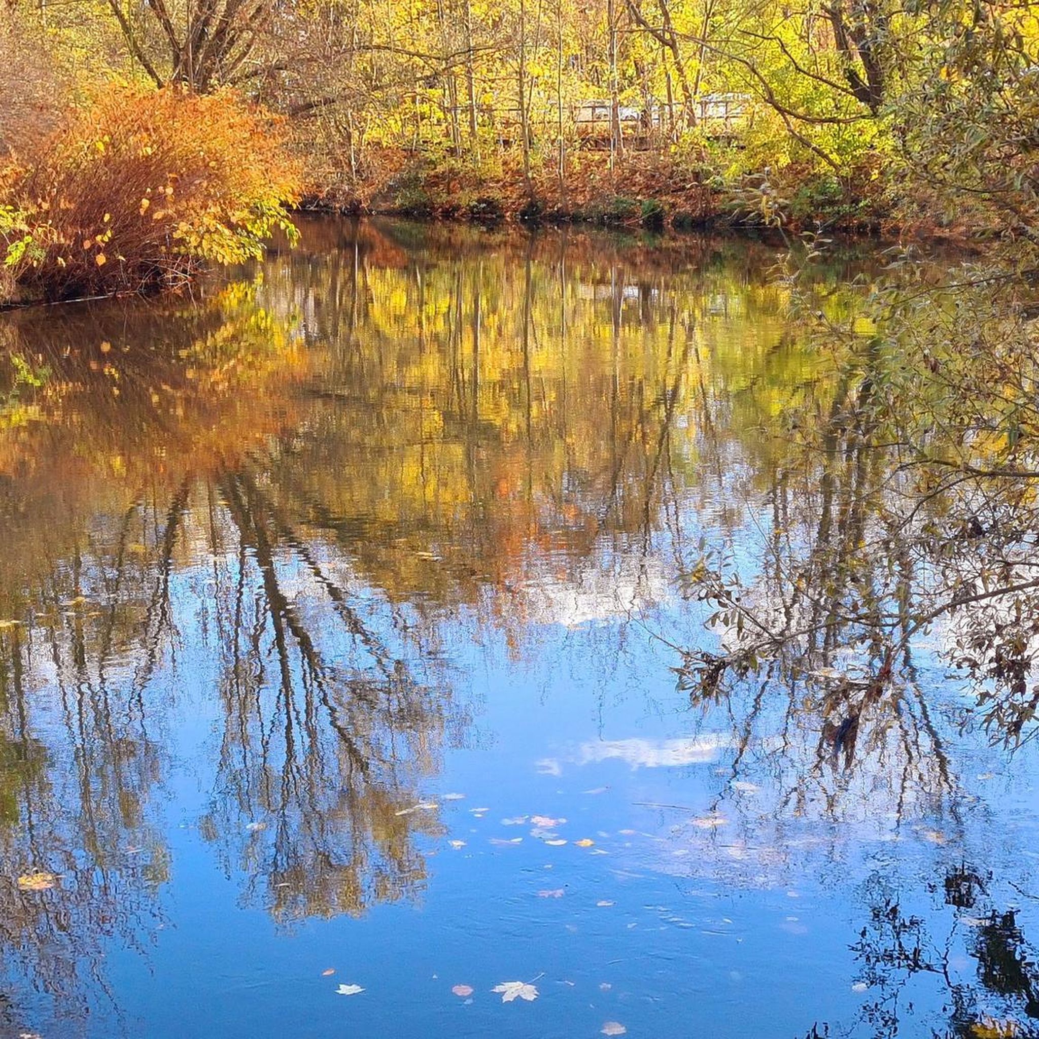
Done a few years ago from Vercelli to Carpignano. Is it possible to go north from Carpignano?
2
0

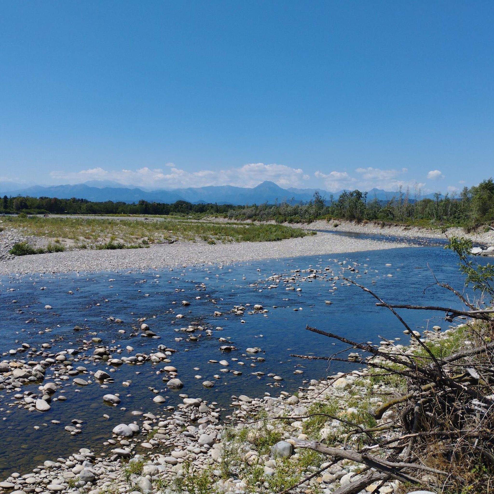
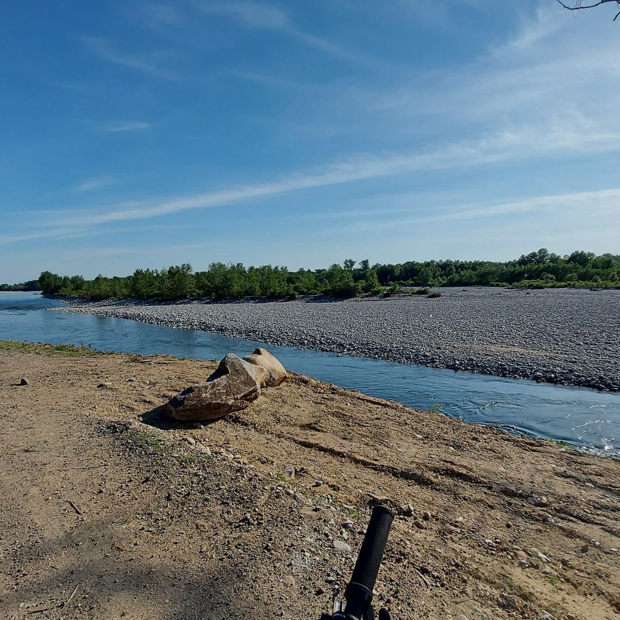
The bank or shelter of the Sesia river lends itself to being traveled by gravel or MTB bike
2
0
We are on the Novara hills. This is the name commonly used to identify the hilly area of the province of Novara. Located north of the capital, in the central part of the province, it is bordered by the Sesia rivers to the west and the Ticino rivers to the east and borders the Vergante to the north. The altitude is between 190 and 470 m above sea level.
2
0

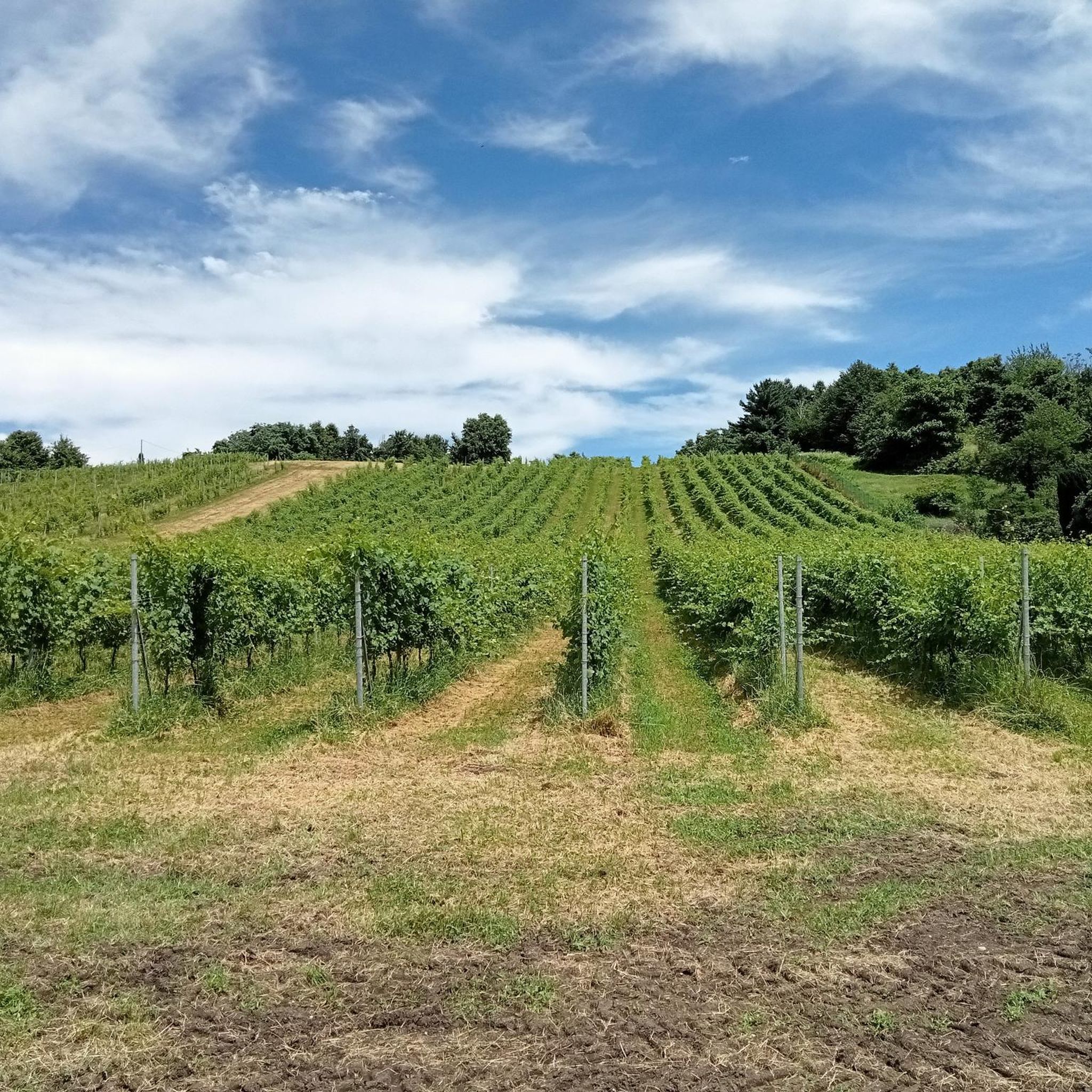
This experimental vineyard managed by the Bonfantini Institute and named after the professor Carlo Garavaglia colors himself with giant pencils that act as poles for the rows of Nebbiolo.
1
0

Argine in terra battuta e ghiaia, tenuto benissimo. C’è anche un bel panorama sulle Alpi a corredo di tutto
2
0

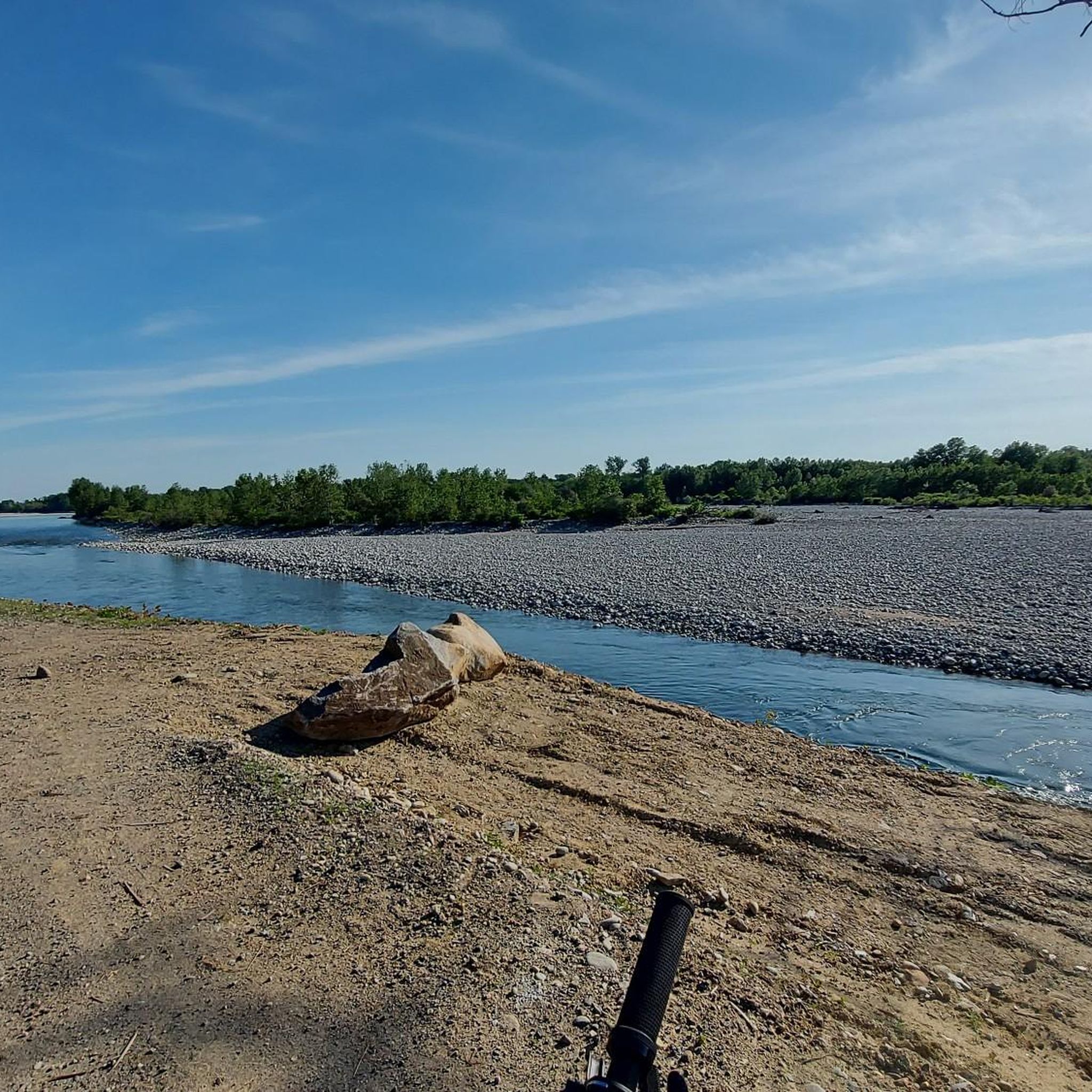
Dirt road along the Sesia full of endless straights. Smooth surface suitable for gravel bikes. Beautiful view.
1
0
Fast dirt road along the Sesia
1
0
Frequently Asked Questions
How many running routes are available around Sillavengo?
There are over 50 dedicated running routes around Sillavengo listed on komoot, offering a wide range of options for different preferences and fitness levels. These include 4 easy, 49 moderate, and 4 difficult trails.
What kind of terrain can I expect on jogging routes near Sillavengo?
The jogging routes near Sillavengo primarily feature agricultural land and quiet country roads, providing serene environments. Additionally, the nearby Lagoni di Mercurago Nature Park offers diverse terrain with peat bogs, expansive meadows, and wooded areas, ensuring a variety of surfaces and scenery for your runs.
Are there any family-friendly running trails in the Sillavengo area?
Yes, the region offers several moderate and easy routes suitable for families. For instance, the Running loop from Sillavengo is a moderate 7.0 km (4.3 miles) trail that takes about 45 minutes, offering a pleasant experience through the local countryside.
Can I find circular running routes around Sillavengo?
Absolutely. Many of the running routes in the area are designed as loops. A popular option is the Running loop from Carpignano Sesia, a moderate 11.2 km (7.0 miles) path that provides a mix of open countryside and gentle ascents.
What are some interesting landmarks or natural features I might see while running near Sillavengo?
While running, you can explore the rural landscapes and potentially encounter historical sites. The region is close to the Lagoni di Mercurago Nature Park, known for its diverse natural beauty including peat bogs and forests. You might also pass by cultural points of interest such as Castello di Proh or the Lame del Sesia Natural Park.
What is the best time of year for jogging in the Sillavengo region?
The natural environment around Sillavengo, particularly the wooded areas within Lagoni di Mercurago Nature Park, makes for pleasant running during warmer months. Spring and autumn generally offer mild temperatures and beautiful scenery, ideal for outdoor activities. Always check local weather conditions before heading out.
Is there parking available near the trailheads for running routes?
Given the rural nature of Sillavengo and its surrounding areas, many trailheads for running routes are accessible by car, and parking is generally available in nearby villages or designated areas. For specific routes, it's advisable to check the route details on komoot for parking information.
What do other runners say about the trails in Sillavengo?
The running routes in Sillavengo are highly regarded by the komoot community, holding an average rating of 4.6 stars from over 10 reviews. Runners often praise the quiet countryside, varied terrain, and the opportunity to explore both agricultural fields and natural park landscapes.
Are there any longer or more challenging running routes for experienced runners?
Yes, for those seeking a greater challenge, there are difficult routes available. The Castrum Vetus o Castellone – Castrum Novum loop from Fara Novarese is a difficult 18.9 km (11.7 miles) trail with notable elevation gain, typically taking over two hours to complete.
Are there any shorter, moderate running options near Sillavengo?
Certainly. A good moderate option is the Running loop from Fara Novarese, which covers 5.9 km (3.7 miles) and can be completed in under 40 minutes. It's a great choice for a quicker run through the local landscape.
Can I find running routes that pass through vineyards or scenic agricultural areas?
Yes, the region's agricultural character means many routes traverse scenic countryside. For example, the Vineyard of the Giant Pencils loop from Briona is a moderate 8.8 km (5.5 miles) route that offers views of vineyards and rural landscapes, taking approximately 57 minutes.
Most popular routes around Sillavengo
Most popular attractions around Sillavengo

Get inspired with the komoot mobile app


Explore more
Browse the best Running Trails & Routes in other regions.
