The best running trails around Cravagliana
4.5
(15)
1,277
runners
54
runs
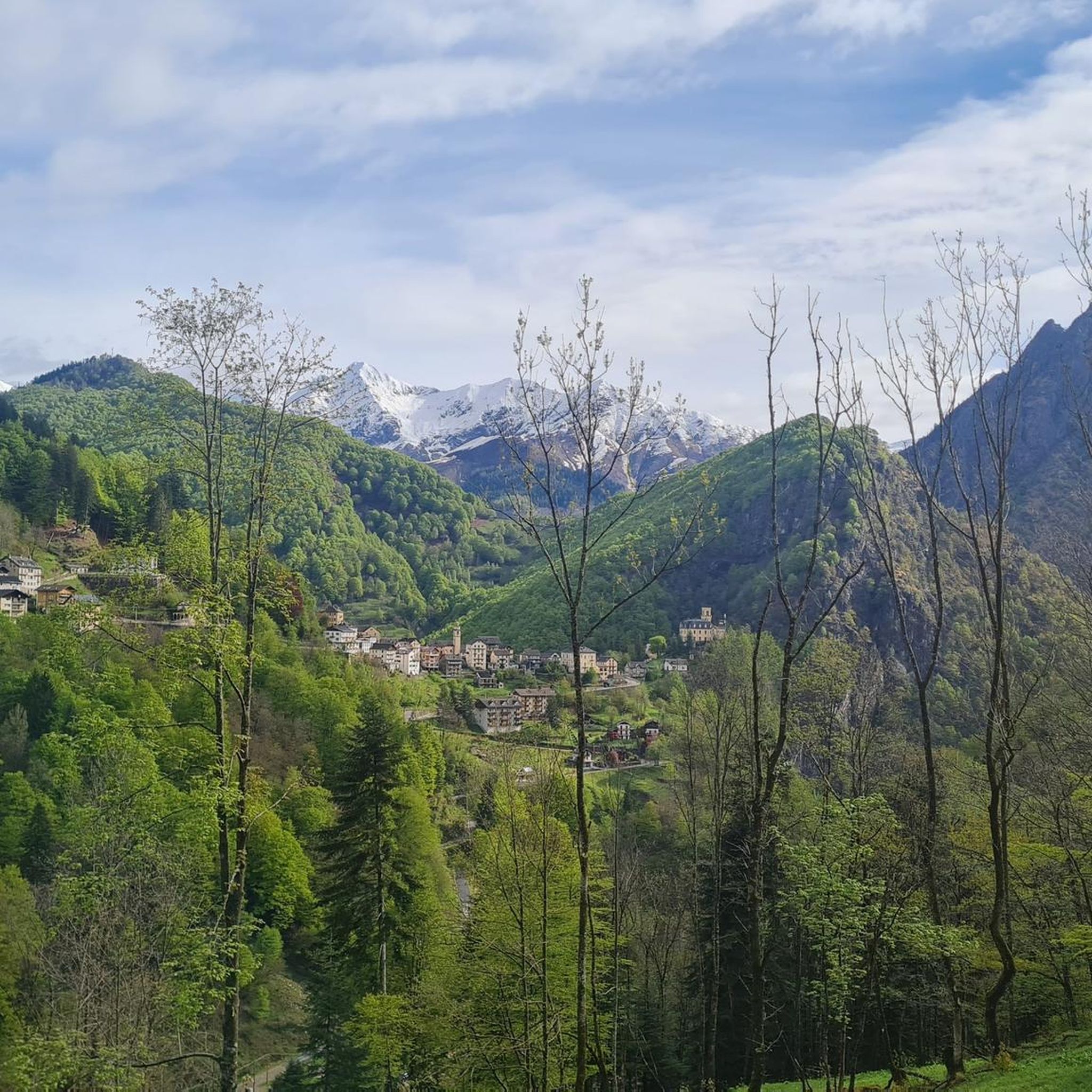
Jogging around Cravagliana offers a challenging experience through mountainous terrain. The region is characterized by significant elevation changes, dense woodlands, and high-altitude trails. Running routes often traverse rugged paths, providing panoramic views of the surrounding valleys and peaks. The landscape is primarily alpine, with trails winding through forests and open ridges.
Best jogging routes around Cravagliana
- The most popular jogging route is Massa del Turlo Loop from Cervarolo, a 7.7 miles (12.3 km) trail that takes 2 hours 38…
Last updated: October 8, 2026
37
runners
12.3km
02:38
1,010m
1,010m
Hard run. Very good fitness required. Sure-footedness, sturdy shoes and alpine experience required.
9
runners
11.1km
02:08
710m
710m
Hard run. Very good fitness required. Sure-footedness, sturdy shoes and alpine experience required.

7
runners
16.8km
04:07
1,380m
1,380m
Hard run. Very good fitness required. Sure-footedness, sturdy shoes and alpine experience required.
1
runners
22.8km
04:55
1,820m
1,820m
Hard run. Very good fitness required. Sure-footedness, sturdy shoes and alpine experience required.
15
runners
8.41km
01:28
480m
480m
Hard run. Very good fitness required. Sure-footedness, sturdy shoes and alpine experience required.
Get access to more routes and recommendations from other explorers.
Already have an account?
Our route recommendations are based on thousands of hikes, rides, and runs completed by other people on komoot.
Start today with a free account
Your next adventure awaits.
Tips from the Community

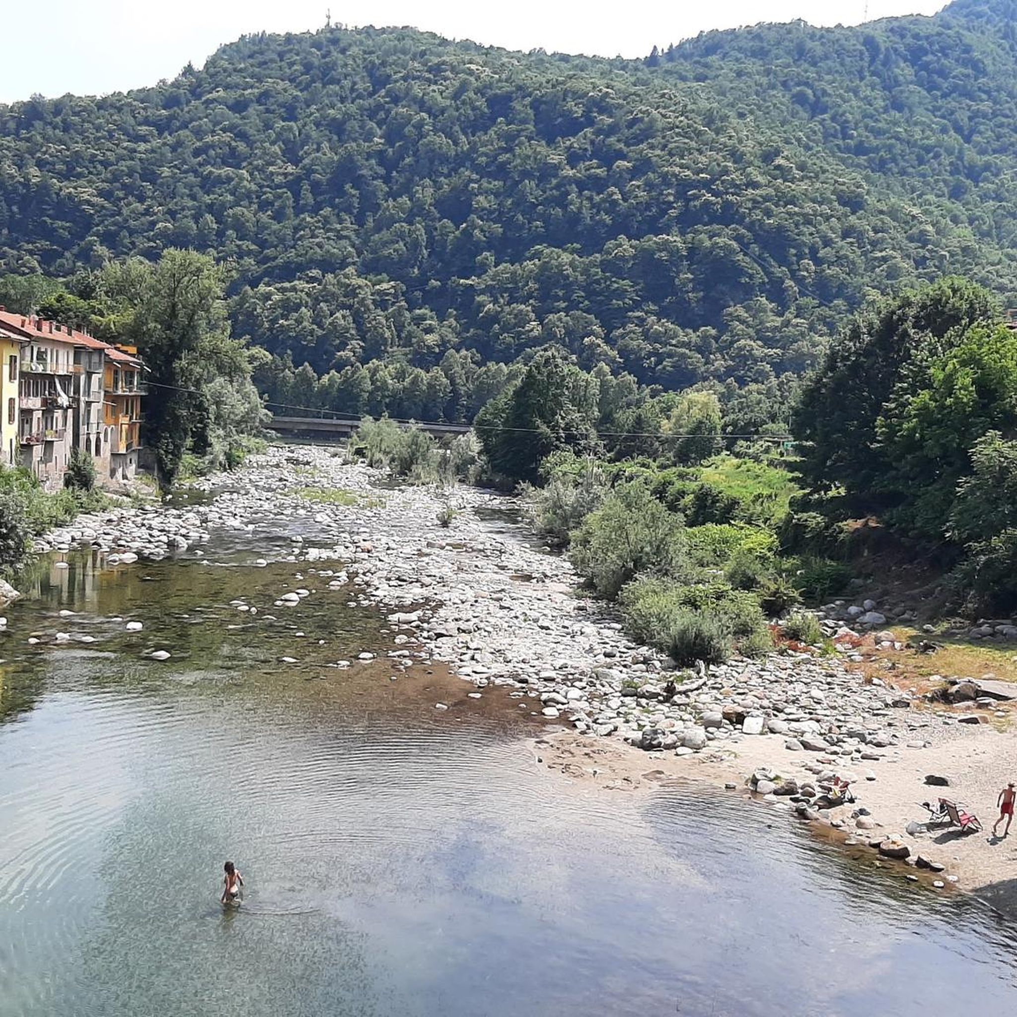
crosses the Mastallone stream
0
0

The Ponte della Gula, located in Varallo Sesia in the Val Mastallone, is an ancient medieval humpbacked stone structure, suspended about 30-35 meters above the stream.
6
0

Beautiful village
0
0

A suggestive route rich in water
0
0
By linking the peaks around the lake you can create a really nice ring
0
0
bridge named after General Antonini over the Mastallone stream
1
1


At this prime location, the entire story of Jesus Christ is "literally" depicted in 45 stations. More than 800 plaster figures make the episodes lifelike. If you want to follow the entire life cycle of Jesus, allow enough time (minimum 1 to 2 hours). Highly recommended to discover this World UNESCO Heritage. Go, discover, experience and share your experience with your loved ones.
2
0
Frequently Asked Questions
Are there running routes suitable for beginners in Cravagliana?
Cravagliana's terrain is primarily mountainous with significant elevation changes, making most running routes challenging. While there are 30 routes in total, 25 are classified as difficult, and 5 as moderate. There are no easy routes specifically for beginners, so runners should be prepared for demanding trails.
What are the typical distances and durations for running trails in Cravagliana?
The running trails in Cravagliana vary in length and duration due to the challenging mountain terrain. For example, the Massa del Turlo Loop from Cervarolo is about 7.7 miles (12.3 km) and takes around 2 hours 38 minutes. Longer routes like the Monte Capio Loop Trail stretch to 10.5 miles (16.8 km) and can take over 4 hours to complete.
Can I find running routes with panoramic views in Cravagliana?
Yes, Cravagliana is renowned for its panoramic views. Many running routes traverse rugged paths and high-altitude trails, offering stunning vistas of the surrounding valleys and peaks. The region's alpine landscape ensures breathtaking scenery throughout your run.
Are there circular running routes available in the Cravagliana area?
Yes, several circular running routes are available. A popular option is the Bec d'Ovaga Loop, which covers about 7.7 miles (12.4 km) with substantial elevation gain. Another notable circular trail is the Monte Capio Loop Trail, offering a longer 10.5 miles (16.8 km) experience through high mountain ridges.
Does Cravagliana offer point-to-point running trails?
Yes, Cravagliana features point-to-point running trails that connect different mountain villages and areas. An example is the GTA: Campello Monti - Rimella Trail, a difficult 6.9 miles (11.1 km) path connecting Campello Monti and Rimella through alpine forests.
Are the jogging routes around Cravagliana dog-friendly?
Many trails in the Cravagliana region are suitable for running with dogs, especially those through dense woodlands and open ridges. However, due to the challenging mountainous terrain and potential for wildlife, it's always recommended to keep dogs on a leash and ensure they are fit enough for the strenuous conditions. Always check local regulations for specific areas.
What is the best season for running in Cravagliana?
The best season for running in Cravagliana is typically from late spring to early autumn (May to October) when the weather is milder and trails are clear of snow. During these months, you can fully enjoy the high-altitude trails and panoramic views. Winter running is possible but requires specialized gear and experience due to snow and ice.
What kind of natural attractions can I see along the running routes?
The running routes in Cravagliana offer access to stunning natural attractions. You can encounter impressive mountain peaks like Bec d'Ovaga and Monte Mazzuccone Summit. There are also beautiful lakes such as Sant’Agostino Lake and Lake Capezzone, often found near mountain huts like Alpe Baranca Hut.
What do other runners enjoy the most about jogging in Cravagliana?
The running experience in Cravagliana is highly rated by the komoot community, with an average score of 4.2 stars from 7 reviews. Runners often praise the challenging mountain ascents, the beauty of the forested paths, and the rewarding panoramic ridge lines. The varied terrain and sense of accomplishment on difficult trails are frequently highlighted.
Are there any less crowded running trails in Cravagliana?
Given the region's focus on challenging, high-altitude trails, many routes in Cravagliana offer a sense of solitude, especially outside of peak tourist times. Trails like the Cresta del Monte Capezzone loop, which is a longer and more demanding route, tend to be less frequented, providing a peaceful running experience amidst nature.
Are the running trails in Cravagliana suitable for families with children?
Due to the significant elevation changes, rugged paths, and the classification of most routes as difficult or moderate, the running trails in Cravagliana are generally not ideal for families with young children or those seeking very easy, flat paths. These routes are better suited for experienced runners looking for a challenge.
Are there any cafes or refreshment points along the running routes?
While the routes primarily traverse natural, mountainous terrain, some trails may pass near or connect to mountain huts (rifugi) which often offer refreshments. For example, the Alpe Baranca Hut and Rifugio Spanna-Osella are points of interest in the region. It's always advisable to carry sufficient water and snacks, especially on longer or more remote trails, as services can be sparse.
Most popular attractions around Cravagliana

Get inspired with the komoot mobile app


Explore more
Browse the best Running Trails & Routes in other regions.
