The best road cycling routes in the Mountains Hills
4.7
(263)
6,556
riders
168
rides
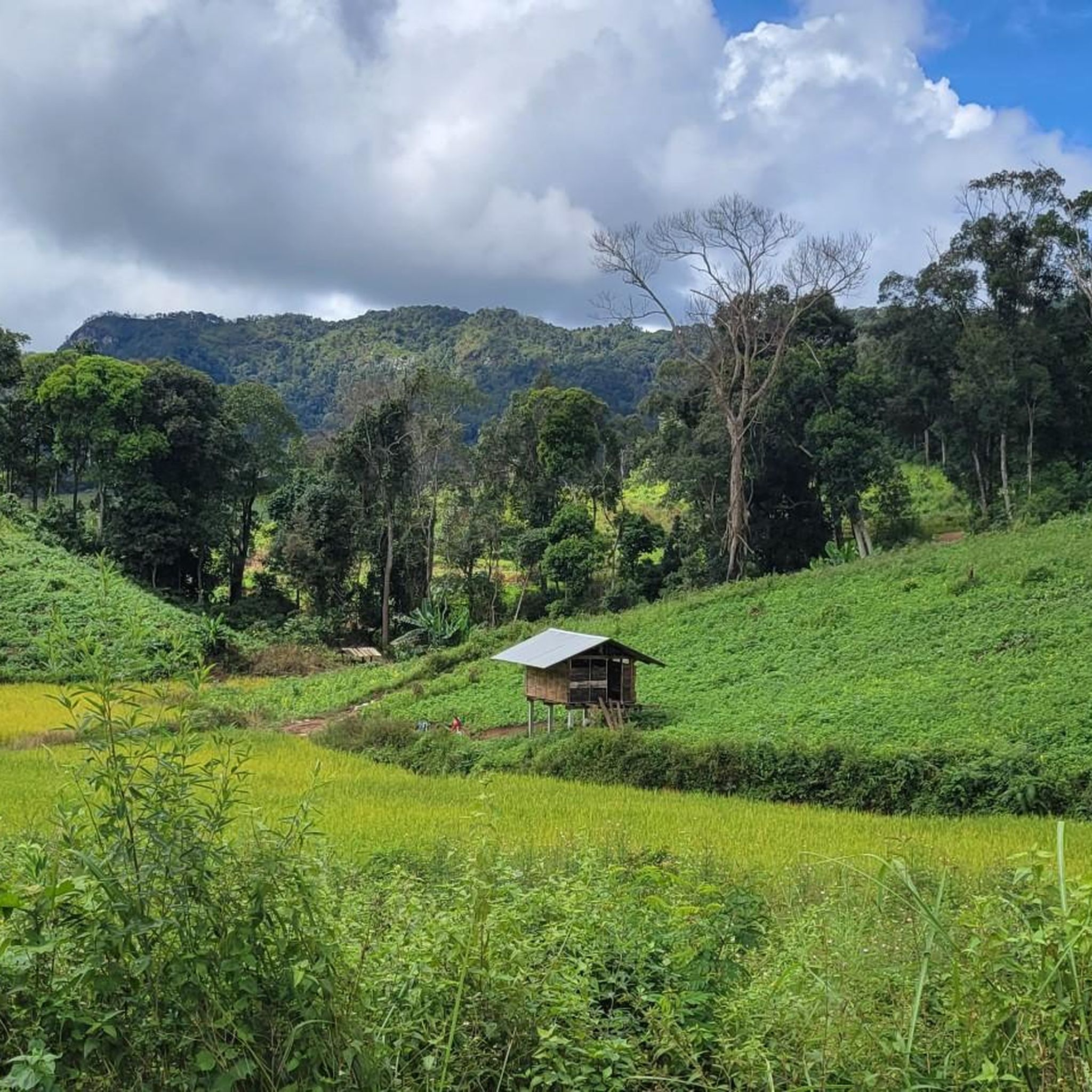
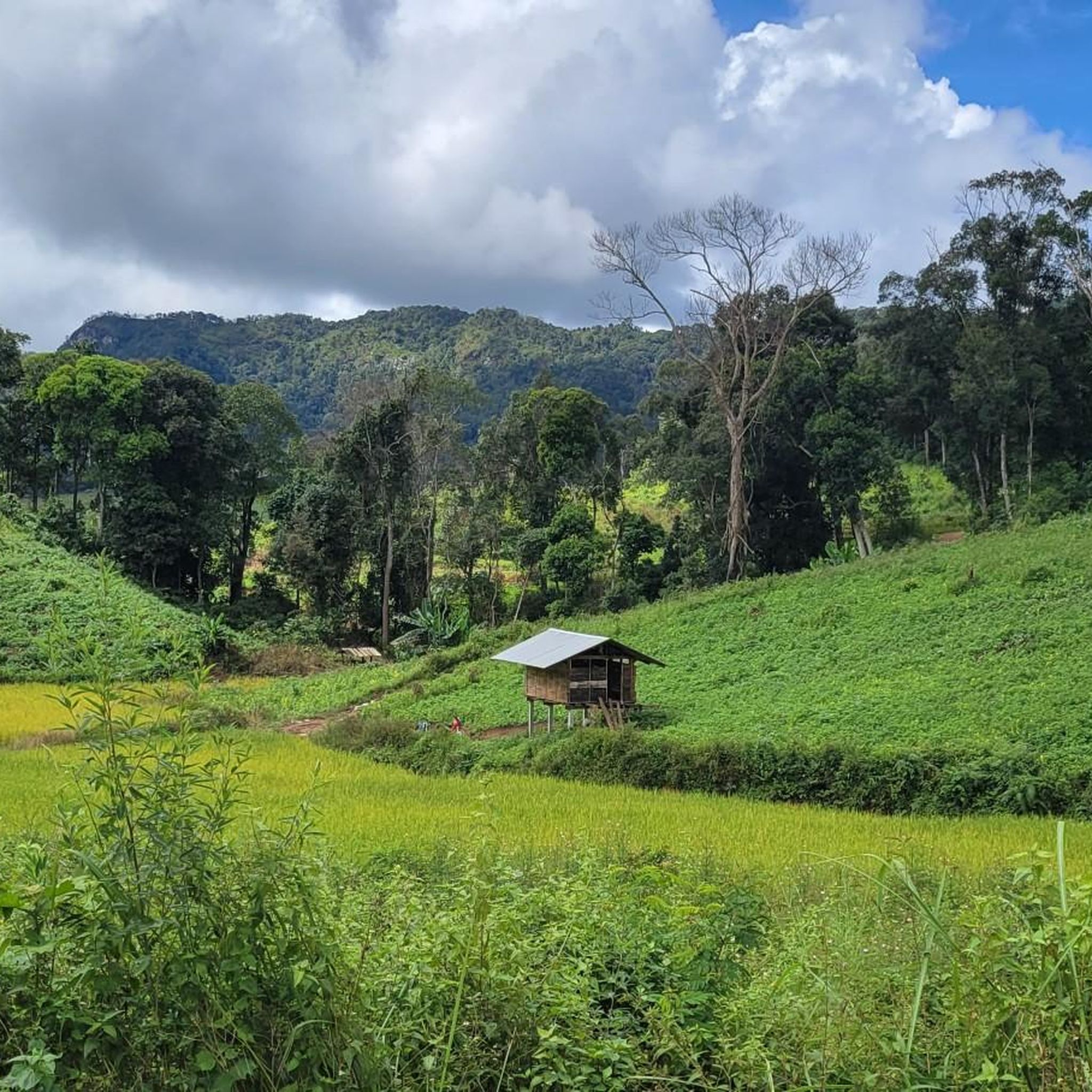
Road cycling in the Mountains Hills offers diverse topography, characterized by long, winding roads that present both challenging climbs and exhilarating descents. The region features a combination of forested slopes, rocky escarpments, and rolling green highlands, providing a rich variety of landscapes. Cyclists can experience varying elevations, from gentle slopes to significant gradients, often with minimal traffic. These areas frequently offer panoramic views and geological wonders, shaped by natural forces.
Best road cycling routes in the Mountains Hills
- The most…
Last updated: July 7, 2026
4.9
(17)
620
riders
97.7km
05:07
1,560m
1,560m
Hard road ride. Very good fitness required. Mostly well-paved surfaces and easy to ride.
4.9
(14)
568
riders
93.3km
05:21
1,930m
1,930m
Hard road ride. Very good fitness required. Mostly well-paved surfaces and easy to ride.

Sign up for free
4.6
(9)
562
riders
38.0km
02:08
780m
780m
Moderate road ride. Good fitness required. Mostly well-paved surfaces and easy to ride.
4.7
(6)
324
riders
22.8km
01:30
720m
720m
Moderate road ride. Good fitness required. Mostly well-paved surfaces and easy to ride.
4.9
(14)
165
riders
Moderate road ride. Good fitness required. Mostly well-paved surfaces and easy to ride.
136
riders
106km
05:46
1,730m
1,730m
Hard road ride. Very good fitness required. Mostly well-paved surfaces and easy to ride.
5.0
(4)
152
riders
79.1km
05:17
2,470m
2,470m
Hard road ride. Very good fitness required. Mostly well-paved surfaces and easy to ride.
4.4
(8)
147
riders
Moderate road ride. Good fitness required. Mostly well-paved surfaces and easy to ride.
145
riders
106km
04:48
240m
240m
Moderate road ride. Good fitness required. Mostly well-paved surfaces and easy to ride.
5.0
(59)
128
riders
43.5km
01:54
240m
240m
Easy road ride. Great for any fitness level. Mostly well-paved surfaces and easy to ride.
Get access to more routes and recommendations from other explorers.
Sign up for free
Already have an account?
Our route recommendations are based on thousands of hikes, rides, and runs completed by other people on komoot.
Start today with a free account
Your next adventure awaits.
Login or Signup
Popular around Mountains Hills


Tips from the Community

The peaceful conclusion to the Chiang Mai Monk's Trail. Find all the details in https://lens-wanderings.com/chiang-mai-monks-trail/
0
0

Large equestrian statue at the barracks of the 7th Infantry Division
0
0
The *Doi Suthep-Pui National Park* stretches across the forested mountains west of Chiang Mai and is named after the two peaks Doi Suthep and Doi Pui, which rise up to 1,685 meters. The park protects dense mountain rainforest, waterfalls such as Monthathan and Huay Kaew, and is home to Hmong mountain villages like Baan Doi Pui, where you can experience traditional culture. At the same time, it houses Wat Phra That Doi Suthep, one of Northern Thailand's holiest landmarks, whose golden chedi towers over the city and attracts pilgrims from all over the country.
0
0
*Wat Mahawan* is a quiet treasure located right on the eastern edge of Chiang Mai's Old City, situated on Thaphae Road. The temple was built in the 17th century during the Burmese occupation, likely on the site of an older sanctuary, and was erected by Burmese teak traders living in Northern Thailand at the time. What makes Wat Mahawan special is the visible dialogue between two cultures: Burmese and Lanna styles merge here to create a unique atmosphere. The small assembly hall on the west wall from the 19th century, the square whitewashed pagoda, the wooden library, and the lion guardians at the gate arches clearly bear Burmese features. Inside sits “Phra Chao To,” the temple's great main Buddha. On the east side, however, you'll find classic Lanna architecture: the large Viharn from around 1865 with its multi-tiered roofs, adorned with Naga serpents on the gables and two mighty Chinthe lions at the entrance. Inside, murals tell the story of the Vessantara Jataka and scenes from Buddha's enlightenment. Despite its location just 300 meters from the bustling Tha Phae Gate, it is surprisingly quiet here. Moss-covered walls, weathered stucco, and winding courtyards give the temple an almost forgotten, melancholic beauty. Monks live and teach here; visitors can meditate or simply soak up the peaceful atmosphere. Open daily from 6:00 AM to 8:00 PM, admission is free. Wat Mahawan is not a tourist magnet like Doi Suthep, but a place for anyone who wants to feel the old Chiang Mai – with its history between Lanna and Burma, with patina instead of polish, and with plenty of space to breathe.
0
0

Very nice little Cafe with great coffee, drinks and baked goods! The owners and staff are so nice here also. We'll worth a stop to take a break.
1
0

Some parts are nice to look at, others are so-so. But it's a good way to drive safely without being too afraid of getting run over.
0
0

WARNING ⚠️ You can ride up hill BUT Park Rangers do not want cyclists to ride down hill. Possible 1000Baht fine! I took the risk because it's a very long walk to leave the park. (You could try and hitch a lift). However, I made sure that I dismounted and walked with my bicycle around the various check points manned by park rangers.
0
0

Wat Pha Lat is located on Doi Suthep, or rather halfway between the base of the mountain and Wat Phra That Doi Suthep. It is often visited as a stop on hikes along the Monk's Trail, a path that leads to the summit of the mountain.
1
0
Frequently Asked Questions
How challenging are the road cycling routes in the Mountains Hills?
The Mountains Hills region offers a wide range of challenges for road cyclists. You'll find everything from moderate paths to difficult routes with significant elevation gain. For instance, routes like Samoeng Viewpoint – Samoeng Switchbacks loop from เชียงใหม่ feature challenging switchbacks and substantial climbs, while others like Convention Centre Road – Rural Road Near Route 107 loop from Chiang Mai University offer more gentle inclines.
Are there any beginner-friendly road cycling routes in the Mountains Hills?
Yes, the Mountains Hills region has options suitable for beginners. While many routes feature significant elevation, there are 33 easy routes available. These typically involve less strenuous climbs and shorter distances, allowing new cyclists to enjoy the scenic landscapes without being overwhelmed by extreme gradients.
What kind of terrain can I expect when road cycling in the Mountains Hills?
You can expect diverse topography, characterized by long, winding roads that present both challenging climbs and exhilarating descents. The region features a combination of forested slopes, rocky escarpments, and rolling green highlands. Routes often traverse varying elevations, from gentle slopes to 'pitiless gradients,' providing a rich variety of landscapes and experiences.
What are some notable landmarks or scenic viewpoints along the road cycling routes?
The region is rich with points of interest. You can cycle past historical sites like Tha Phae Gate (Chiang Mai City Wall) or visit serene religious buildings such as Pha Lat Temple. Many routes also offer panoramic views from high-altitude areas, allowing for breathtaking vistas of the diverse ecosystems and geological wonders.
Are there any waterfalls I can visit while road cycling in the Mountains Hills?
Yes, the Mountains Hills region is home to several beautiful waterfalls that can be incorporated into your cycling adventures. Notable ones include Bua Tong (Sticky) Waterfall, Sai Yoi Waterfall, and Wang Bua Ban Viewpoint and Waterfall. These natural features add to the scenic beauty of the routes.
Are there road cycling routes that form a loop in the Mountains Hills?
Many of the road cycling routes in the Mountains Hills are designed as loops, offering a convenient way to explore the region without retracing your path. Examples include the Samoeng Viewpoint – Samoeng Switchbacks loop from Samoeng Tai and the Pha Lat Temple – Tiger Ted Cafe loop from Chiang Mai University, which allow you to experience diverse landscapes and return to your starting point.
What is the best time of year for road cycling in the Mountains Hills?
Mountainous regions often experience changing weather, which can transform landscapes into 'living paintings.' While specific seasonal advice depends on local conditions, generally, periods with stable weather and moderate temperatures are ideal. Avoid extreme heat or heavy rainfall seasons for the most comfortable and safe experience. Always check local forecasts before heading out.
Are there options for advanced road cyclists looking for a challenge?
Absolutely. The Mountains Hills are a 'climber's heaven' for advanced road cyclists. With 31 difficult routes, you'll find plenty of opportunities to test your endurance on long, winding roads with significant elevation gains and challenging gradients. Routes like Scenic Road loop from Ban Namtok Mae Klang offer over 2400 meters of elevation gain, providing a truly exhilarating experience.
How many road cycling routes are available in the Mountains Hills region?
There are over 170 road cycling routes available in the Mountains Hills region. This extensive network offers a wide variety of options, catering to different fitness levels and preferences, from easy rides to very difficult challenges.
What do other cyclists say about road cycling in the Mountains Hills?
The road cycling experience in the Mountains Hills is highly rated by the komoot community, with an average score of 4.7 stars from over 200 reviews. Cyclists often praise the challenging inclines, exhilarating descents, and the diverse ecosystems that provide stunning views throughout the ride. Many appreciate the serene environment and the deep connection with nature these routes offer.
Are there any family-friendly road cycling routes in the Mountains Hills?
While many routes in the Mountains Hills feature significant climbs, there are easier options that can be more suitable for families. Look for routes categorized as 'easy' or 'moderate' with less elevation gain. These paths allow for a more relaxed pace, enabling families to enjoy the scenic beauty without overly strenuous efforts. Always check route details for distance and elevation before planning a family ride.
Where can I find parking for road cycling routes in the Mountains Hills?
Parking availability varies by specific route and trailhead. Many routes, especially those starting from urban centers or popular attractions, will have designated parking areas. For routes originating from places like Chiang Mai University, you can often find parking nearby. It's always advisable to check the specific route details on komoot for information regarding parking at the trailhead or starting point.
Are there any cafes or amenities along the road cycling routes?
Yes, some routes pass by or near amenities like cafes and local establishments. For example, the Pha Lat Temple – Tiger Ted Cafe loop from Chiang Mai University explicitly mentions a cafe. Many routes that start or pass through towns will offer opportunities for refreshments and breaks. It's a good idea to check the route map for points of interest or towns along your chosen path.
Most popular routes in the Mountains Hills
Most popular attractions in the Mountains Hills

Get inspired with the komoot mobile app


Explore more
Browse the best Road cycling routes in other regions.
