The best mountain hikes around Premosello-Chiovenda
4.3
(5)
41
hikers
4
hikes
Mountaineering around Premosello-Chiovenda offers a diverse landscape characterized by mountainous terrain, scenic viewpoints, and historical village settings. The region features a mix of forest paths, alpine pastures, and natural reserves, providing varied environments for exploration. Elevations range, with routes often leading to rewarding vistas over the surrounding valleys and lakes. The area provides opportunities for mountaineers to experience both natural beauty and cultural heritage.
Best mountaineering routes around Premosello-Chiovenda
- The most popular mountaineering route is Montorfano Ammunition Depot – Scenic viewpoint loop from Gravellona Toce, a 5.1 miles (8.3 km) trail that takes 2 hours 49 minutes to complete. This moderate route offers panoramic views and historical points of interest.
- Another top favourite among local mountaineers is Pogallo Village – Strada Sutermeister Trail loop from Cicogna, a moderate 6.1 miles (9.8 km) path. This trail traverses varied terrain, including forest paths and historical village settings.
- Local mountaineers also love the Scenic viewpoint – View of Montorfano loop from Mergozzo, a 7.3 miles (11.7 km) trail leading through mountainous landscapes with rewarding vistas, often completed in about 4 hours 19 minutes.
- Mountaineering around Premosello-Chiovenda is defined by scenic viewpoints, historical villages, and varied mountainous terrain. The network offers options for moderate to challenging ability levels.
- The routes in Premosello-Chiovenda are highly rated by the komoot community with an average score of 4.7 stars from over 10 reviews. More than 100 mountaineers have used komoot to explore Premosello-Chiovenda's varied terrain.
Last updated: July 4, 2026
5.0
(2)
23
hikers
8.26km
02:49
410m
410m
Moderate mountaineering route. Good fitness required. Mostly accessible paths. Sure-footedness required.
5.0
(2)
7
hikers
7.61km
03:24
560m
560m
Hard mountaineering route. Good fitness required. Sure-footedness, sturdy shoes and alpine experience required.

Sign up for free
5
hikers
15.2km
07:29
1,260m
1,260m
Hard mountaineering route. Very good fitness required. Mostly accessible paths. Sure-footedness required.
3.0
(1)
4
hikers
4.40km
02:15
390m
390m
Moderate mountaineering route. Good fitness required. Mostly accessible paths. Sure-footedness required.
2
hikers
9.74km
04:45
740m
750m
Hard mountaineering route. Good fitness required. Sure-footedness, sturdy shoes and alpine experience required.
Our route recommendations are based on thousands of hikes, rides, and runs completed by other people on komoot.
Start today with a free account
Your next adventure awaits.
Login or Signup

Tips from the Community


A beautiful panoramic viewpoint, also a great place to catch your breath on the trail leading to the summit from Montorfano. The trail isn't exactly easy, technically speaking.
0
0

Beautiful view of the various lakes surrounding Lake Maggiore
0
0

Comfortable, clean, dry, with a cooking area. We saw wonderful cloud spectacles there.
0
0
A wonderful view and a delicious fountain await you there.
0
0
a beautiful place to stay and look out
0
0

The Little Cemetery of Montorfano
1
0

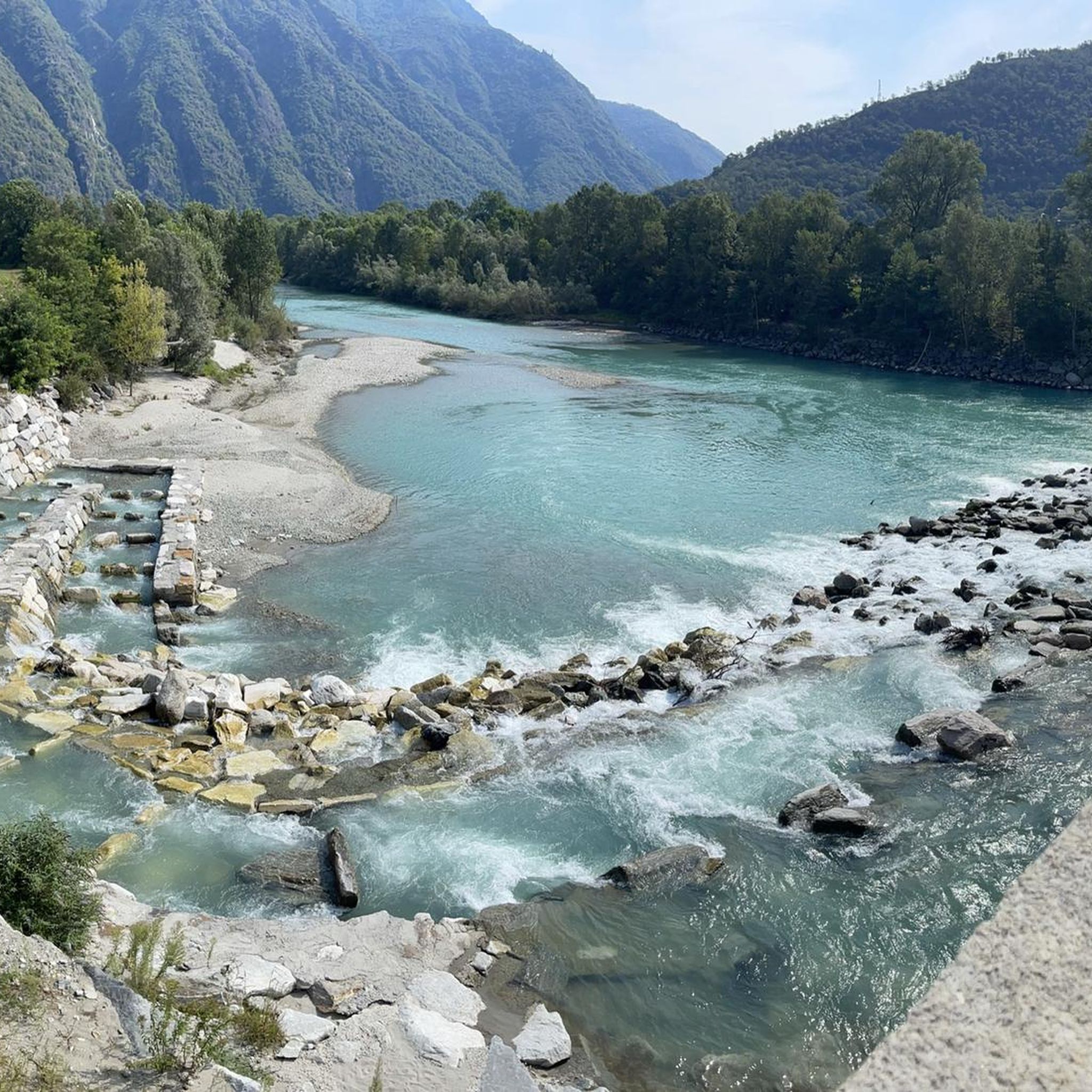
great view of the Toce and Lago
0
0
Frequently Asked Questions
How many mountaineering routes are available around Premosello-Chiovenda?
There are 9 mountaineering routes documented around Premosello-Chiovenda on komoot. These range from moderate to difficult, offering diverse experiences for different skill levels.
Are there any easy mountaineering routes for beginners in Premosello-Chiovenda?
While the routes around Premosello-Chiovenda are generally rated moderate to difficult, some of the moderate options can be suitable for beginners with a good level of fitness. For example, the Montorfano Ammunition Depot – Scenic viewpoint loop from Gravellona Toce is a moderate 8.3 km route that offers panoramic views and historical points of interest.
What are some challenging mountaineering trails in the Premosello-Chiovenda area?
For those seeking a challenge, Premosello-Chiovenda offers several difficult routes. The Scenic viewpoint – View of Montorfano loop from Mergozzo is a demanding 11.7 km trail with significant elevation gain, leading to rewarding vistas. Another challenging option is the Alpe Scaredi Bivouac loop from Fondo li Gabbi, which is 11.4 km long and features substantial ascents.
Are there any circular mountaineering routes in Premosello-Chiovenda?
Yes, many of the mountaineering routes in Premosello-Chiovenda are circular, allowing you to start and end at the same point. Examples include the Pogallo Village – Strada Sutermeister Trail loop from Cicogna and the Scenic viewpoint – View of Montorfano loop from Riserva Naturale del Fondo Toce.
What kind of viewpoints can I expect on mountaineering routes here?
The mountaineering routes in Premosello-Chiovenda are known for their scenic viewpoints. You can expect panoramic views over surrounding valleys, lakes like Lake Mergozzo, and the mountainous landscape. Many routes are specifically named for their scenic outlooks, such as the 'Scenic viewpoint – View of Montorfano' loops.
What do other mountaineers say about the routes in Premosello-Chiovenda?
The mountaineering routes in Premosello-Chiovenda are highly rated by the komoot community, with an average score of 4.7 stars from over 10 reviews. Users often praise the diverse terrain, rewarding vistas, and the blend of natural beauty with historical village settings.
Are there any waterfalls or gorges to see along the mountaineering trails?
Yes, the region is rich in natural attractions. You can find gorges and waterfalls near some routes. For instance, the Pogallo Gorge and Waterfalls is a notable highlight. Other impressive natural features include the San Bernardino Gorge, Val Grande National Park and the Vigezzo Valley.
What interesting landmarks or historical sites can be explored near the mountaineering routes?
Beyond the natural beauty, the area offers several historical and cultural points of interest. You might encounter the Stone Bridge Over the San Bernardino Gorge, or explore the historical village settings mentioned in routes like the Pogallo Village – Strada Sutermeister Trail loop from Cicogna. The Stations of the Cross at Sacro Monte Calvario, Domodossola is another significant landmark nearby.
What is the typical duration for mountaineering routes in Premosello-Chiovenda?
The duration of mountaineering routes in Premosello-Chiovenda varies depending on the trail's length and difficulty. Moderate routes, like the Montorfano Ammunition Depot – Scenic viewpoint loop from Gravellona Toce, can take around 2 hours 49 minutes. More challenging and longer routes, such as the Alpe Scaredi Bivouac loop from Fondo li Gabbi, can extend to nearly 6 hours.
Are there any specific natural reserves or protected areas that the routes pass through?
Yes, some routes traverse or offer views of protected natural areas. For example, the Scenic viewpoint – View of Montorfano loop from Riserva Naturale del Fondo Toce is located near the Riserva Naturale del Fondo Toce, providing opportunities to experience the region's natural reserves.
What kind of terrain can I expect on the mountaineering trails?
The terrain around Premosello-Chiovenda is diverse, characterized by mountainous landscapes. You will encounter a mix of forest paths, alpine pastures, and varied trails that lead through natural reserves and historical village settings. Elevations can vary significantly, offering a true mountaineering experience.
Most popular routes around Premosello-Chiovenda
Most popular attractions around Premosello-Chiovenda

Get inspired with the komoot mobile app


Explore more
Browse the best Mountain Hikes & Routes in other regions.
