The best road cycling routes around Trasquera
4.9
(25)
1,299
riders
15
rides
Road cycling routes around Trasquera are situated in Italy's Alpine region of Verbano-Cusio-Ossola, characterized by challenging terrain and significant elevation gains. The Divedro Valley provides varied landscapes, including mountain passes and deep gorges. Routes often feature mostly paved surfaces, though some segments may be unpaved, requiring good to very good fitness. The region's geography includes high peaks, natural lakes, and alpine pastures, offering diverse cycling experiences.
Best road cycling routes around Trasquera
- The most popular road cycling route is From…
Last updated: October 21, 2026
5.0
(1)
12
riders
27.9km
01:53
900m
900m
This difficult 17.4-mile road cycling route from Varzo to Bugliaga climbs 2953 feet through the Divedro Valley, passing the Devil's Bridge.
9
riders
23.0km
01:43
920m
920m
Hard road ride. Very good fitness required. Mostly well-paved surfaces and easy to ride.

3
riders
23.8km
02:01
890m
890m
Moderate road ride. Good fitness required. Mostly well-paved surfaces and easy to ride.
4.7
(10)
700
riders
153km
07:12
1,800m
1,800m
Hard road ride. Very good fitness required. Some segments of this route may be unpaved and difficult to ride.
80
riders
81.4km
04:48
1,820m
1,820m
Hard road ride. Very good fitness required. Some segments of this route may be unpaved and difficult to ride.
Get access to more routes and recommendations from other explorers.
Already have an account?
Our route recommendations are based on thousands of hikes, rides, and runs completed by other people on komoot.
Start today with a free account
Your next adventure awaits.
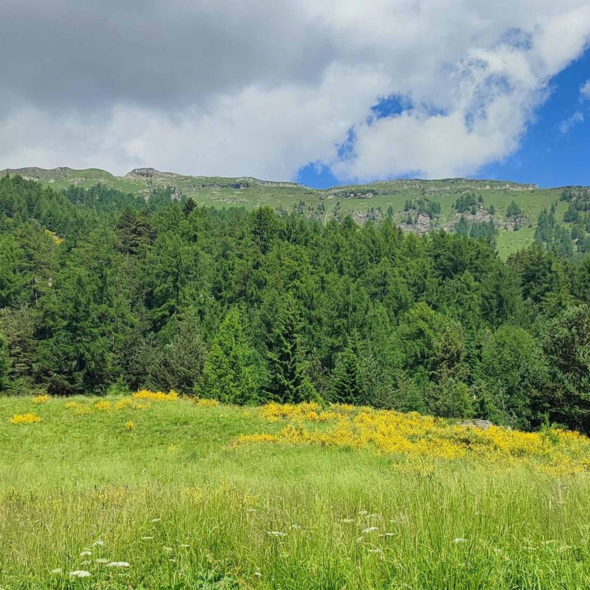
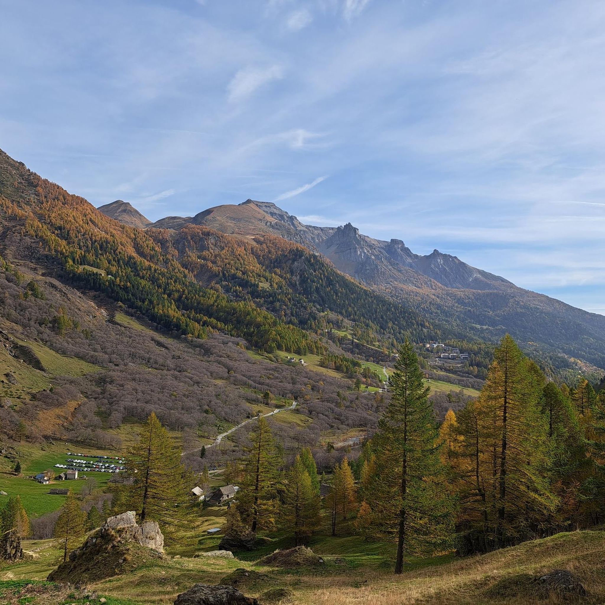
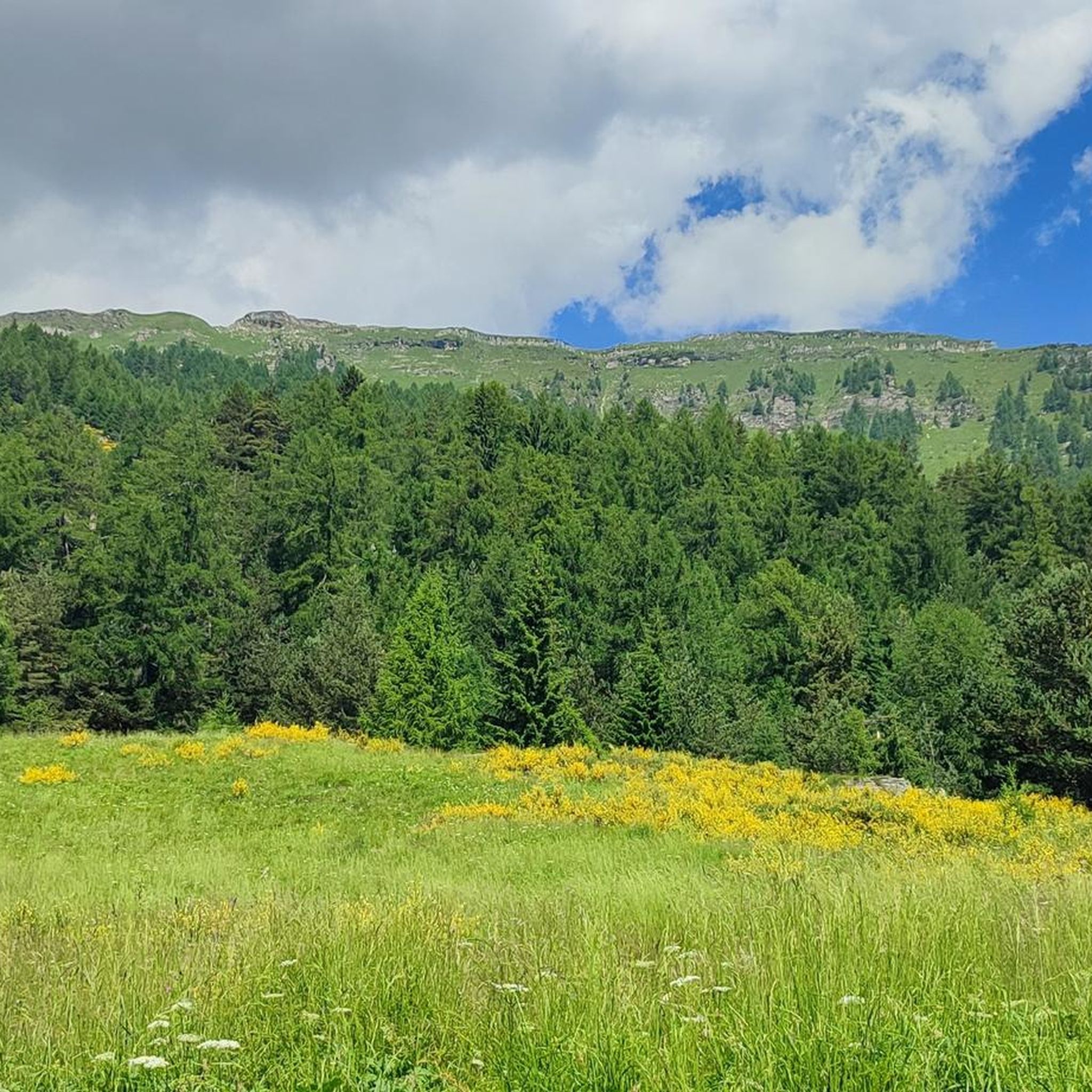
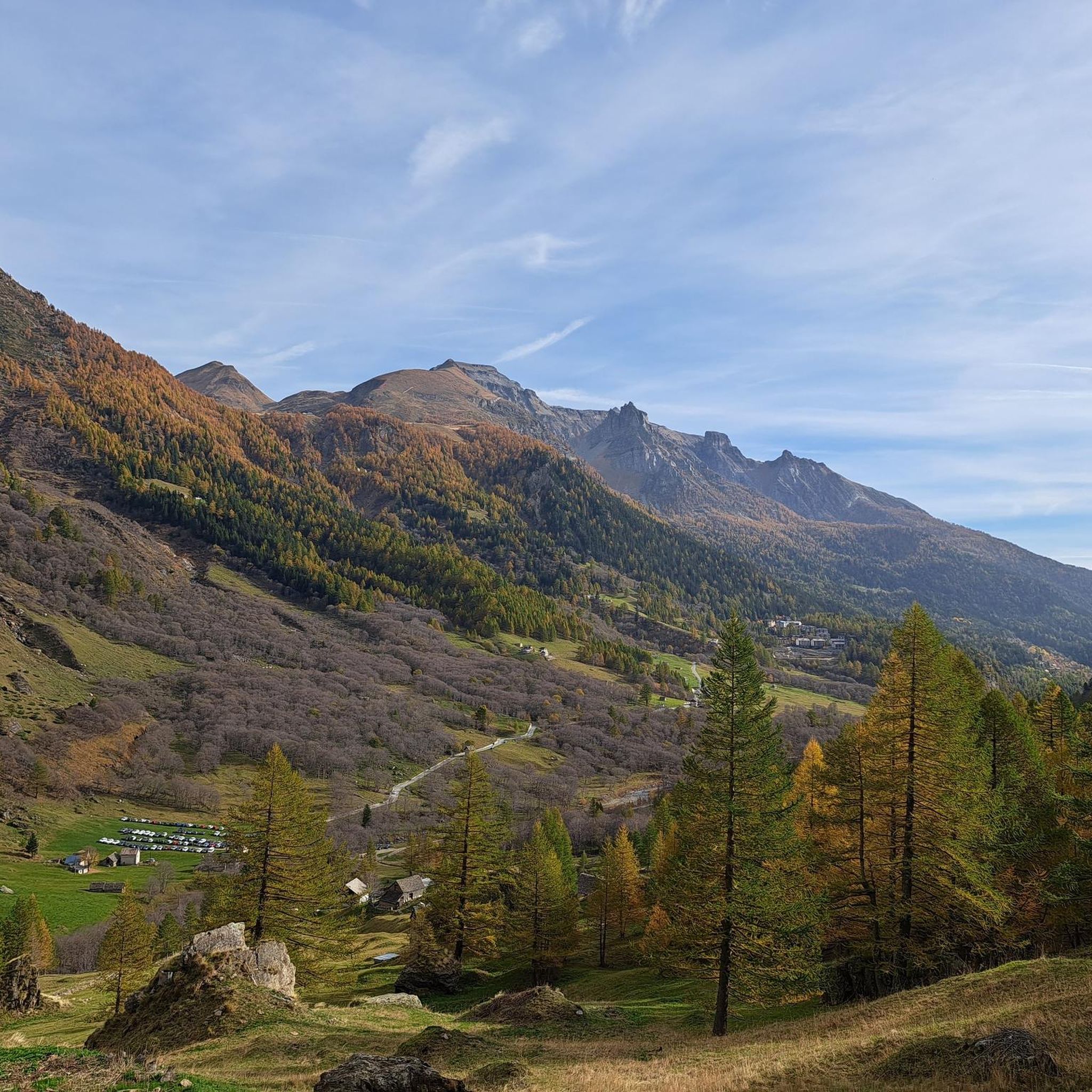
Tips from the Community

From this point you can see the beautiful mountains of the Ossola Valley.
0
0

Awesome alternative to the road along Lake Maggiore, a small detour but worth it
1
0

Beautiful route—easy to drive to the basilica in Re. Warning: from about 3 p.m. onward, there's annoying rush hour traffic uphill from car commuters from Italy.
1
0

A beautiful tour through the Val Cannobina to the Passo Pantani. There are several "rest sections" ranging from flat to downhill. It gets a bit steeper towards the end of the pass. A must-do is the continuation via Malesco through the Cento Valli with its many sights, Re and the Ponte Romano, and breathtaking views of the valley and the railway line. Via Ponte Brollo and Ascona, the route then leads back to the lakeside road to Cannobio. I've ridden this route many times in spring and fall, and there was always little traffic. I can't recommend the traffic-free route from Malesco to Domodossola.
2
0

Descent through the Centovalli - fast descent on a well-maintained road.
0
0

It would be worth taking a walk, a very characteristic place
0
0
busy road with lots of cars
1
0

Sacred Mount Unesco heritage
0
1
Frequently Asked Questions
What is the general difficulty level for road cycling in Trasquera?
Road cycling around Trasquera is generally challenging, characterized by significant elevation gains and mountain passes. Routes often require a good to very good fitness level. Out of the 13 routes available, 5 are rated as difficult and 6 as moderate, with only a couple considered easy.
Are there any family-friendly or easier road cycling routes around Trasquera?
While many routes in Trasquera are challenging, there are a few easier options. For a less strenuous ride, consider the View of Domodossola – Ponte Mizzoccola loop from Preglia, which is rated easy and offers a more gentle experience. For broader family-friendly cycling, the Ossola Valley offers the Toce Cycle Track, which is largely paved and suitable for various skill levels. You can find more information about the Toce Cycle Track on visitossola.it.
What kind of landscapes and views can I expect on road cycling routes near Trasquera?
The routes around Trasquera offer stunning Alpine scenery. You'll encounter dramatic mountain passes like the Simplon Pass, traverse scenic valleys with views of rivers like the Toce and Cairasca, and pedal through wooded areas and high-altitude grasslands such as Alpe Fraccia, providing expansive mountain vistas. Many routes also offer panoramic viewpoints, including those overlooking Domodossola.
What are some notable attractions or landmarks to see along the road cycling routes?
Beyond the cycling itself, you can explore several interesting points. The historic Simplon Pass and the Eagle Monument is a prominent feature. You might also pass by beautiful Alpine villages with traditional architecture, such as the parish church of Trasquera. Natural highlights include the Giant's Kettles of the Toce and the Uriezzo South Gorge. Some routes also offer views of serene lakes like Lake below the Simplon Pass or Lake Hopschu.
Are there any circular road cycling routes available?
Yes, there are several circular road cycling routes. An example is the challenging Lake Mergozzo – Cannobio Lakeside Promenade loop from Preglia, which covers a significant distance and elevation. The region also features routes like the 'Simplon Pass – Stockalper Tower Gondo loop from Varzo' mentioned in regional research, offering a rewarding circular experience for experienced cyclists.
What do other road cyclists enjoy most about road cycling in Trasquera?
The komoot community highly rates the road cycling experience around Trasquera, with an average score of 4.8 stars from over 14 reviews. Cyclists frequently praise the challenging climbs, the breathtaking Alpine views, and the varied terrain that makes each ride unique and rewarding. The sense of accomplishment after conquering a mountain pass is a common highlight.
What is the best time of year for road cycling in Trasquera?
The best time for road cycling in Trasquera is typically from late spring through early autumn (May to October). During these months, the weather is generally more stable, and mountain passes are clear of snow, offering optimal conditions for tackling the challenging ascents and enjoying the scenic landscapes. Always check local weather and road conditions before heading out.
Where can I find parking for road cycling routes in Trasquera?
Many popular routes, such as those originating from Varzo, offer parking options in or near the town centers. For routes starting from smaller villages like Trasquera, parking might be more limited but usually available in designated areas. It's advisable to check specific route details or local village information for the most convenient parking spots.
Are there cafes or restaurants available along the road cycling routes?
Routes often pass through or near traditional Alpine villages like Varzo, Trasquera, and Domodossola, where you can find cafes, restaurants, and accommodation. These villages provide opportunities to refuel and experience local culture. It's a good idea to plan your route to include these stops, especially on longer rides.
Can I reach the road cycling routes using public transport with my bike?
Public transport options in the Val D'Ossola region, including train services to towns like Domodossola and bus services to smaller villages, can often accommodate bicycles, though space may be limited, especially during peak times. It's recommended to check with the specific transport provider in advance regarding their bike carriage policies and any associated fees.
What are some of the most popular challenging road cycling routes in the area?
For those seeking a significant challenge, the From Varzo to San Domenico route is a popular choice, featuring challenging climbs through the Divedro Valley. Another highly-rated difficult route is From Varzo to Trasquera and Bugliaga, known for its substantial elevation gain and mountain views.
Most popular attractions around Trasquera

Get inspired with the komoot mobile app


Explore more
Browse the best Road cycling routes in other regions.
