The 20 Most Amazing Peaks around Cannero Riviera
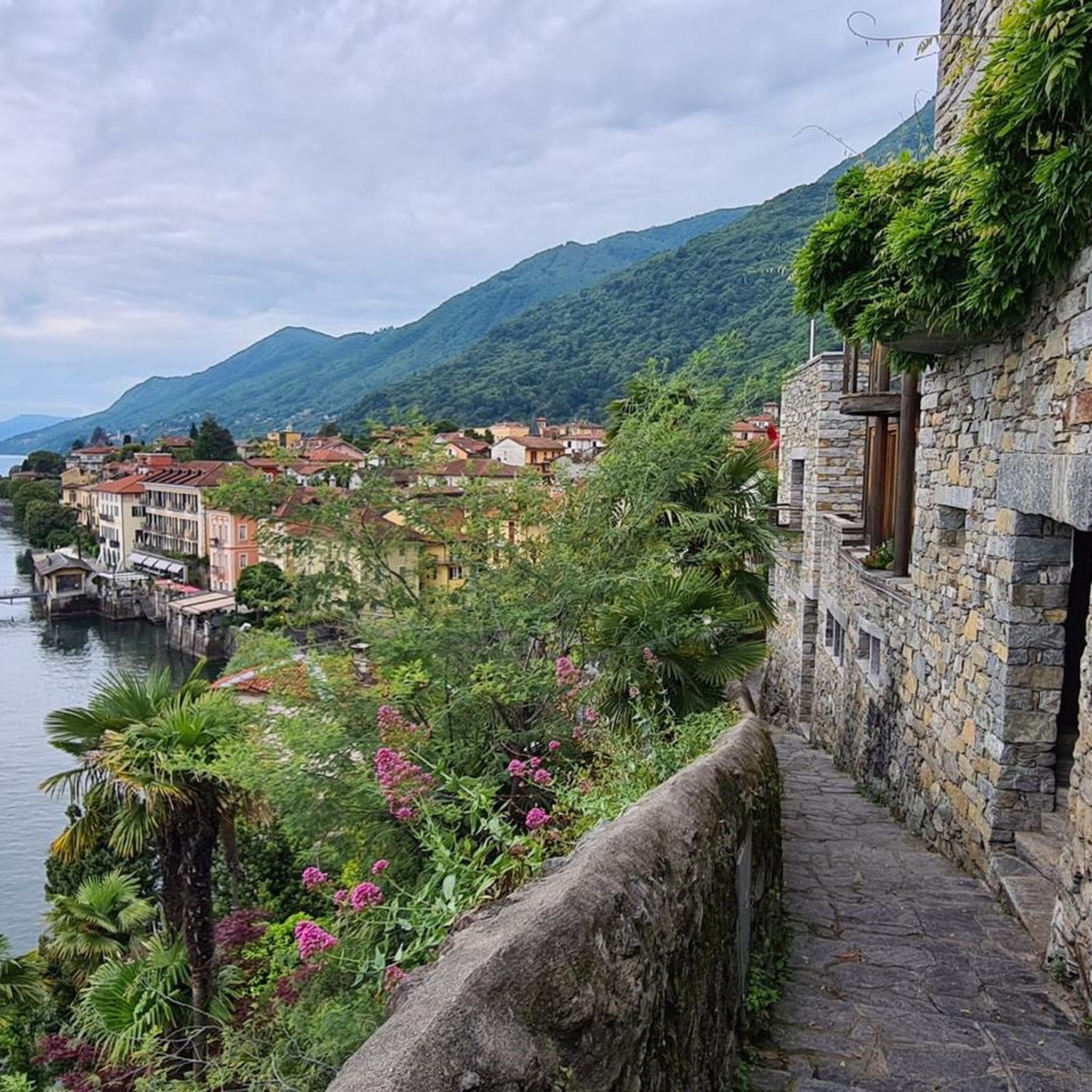
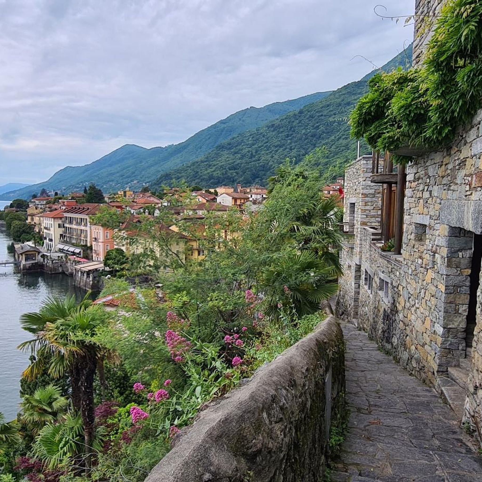
Mountain peaks around Cannero Riviera provide access to elevated areas with panoramic views and historical sites. Situated on Lake Maggiore, the region features a Mediterranean climate supporting diverse vegetation. The area is characterized by ancient mule tracks connecting lakeside towns with mountain villages. This landscape offers a range of experiences, from moderate hikes to challenging terrains.
Best mountain peaks around Cannero Riviera
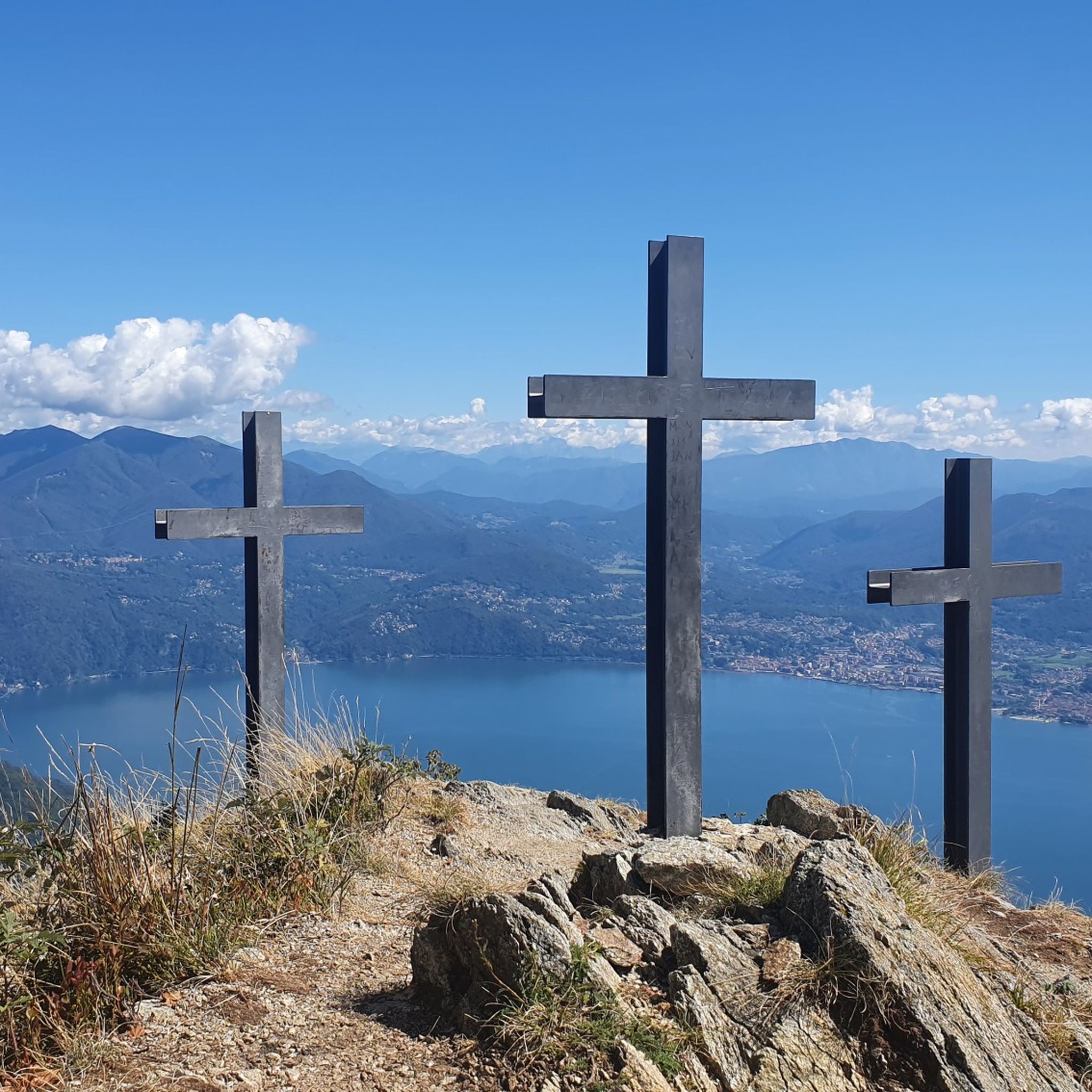
- The most popular mountain peaks is Cross at Pizzoni di Laveno, a summit that offers a magnificent panorama over Lake Maggiore and the mountains on the western shore. The ascent involves climbing over large boulders in a steep climb.
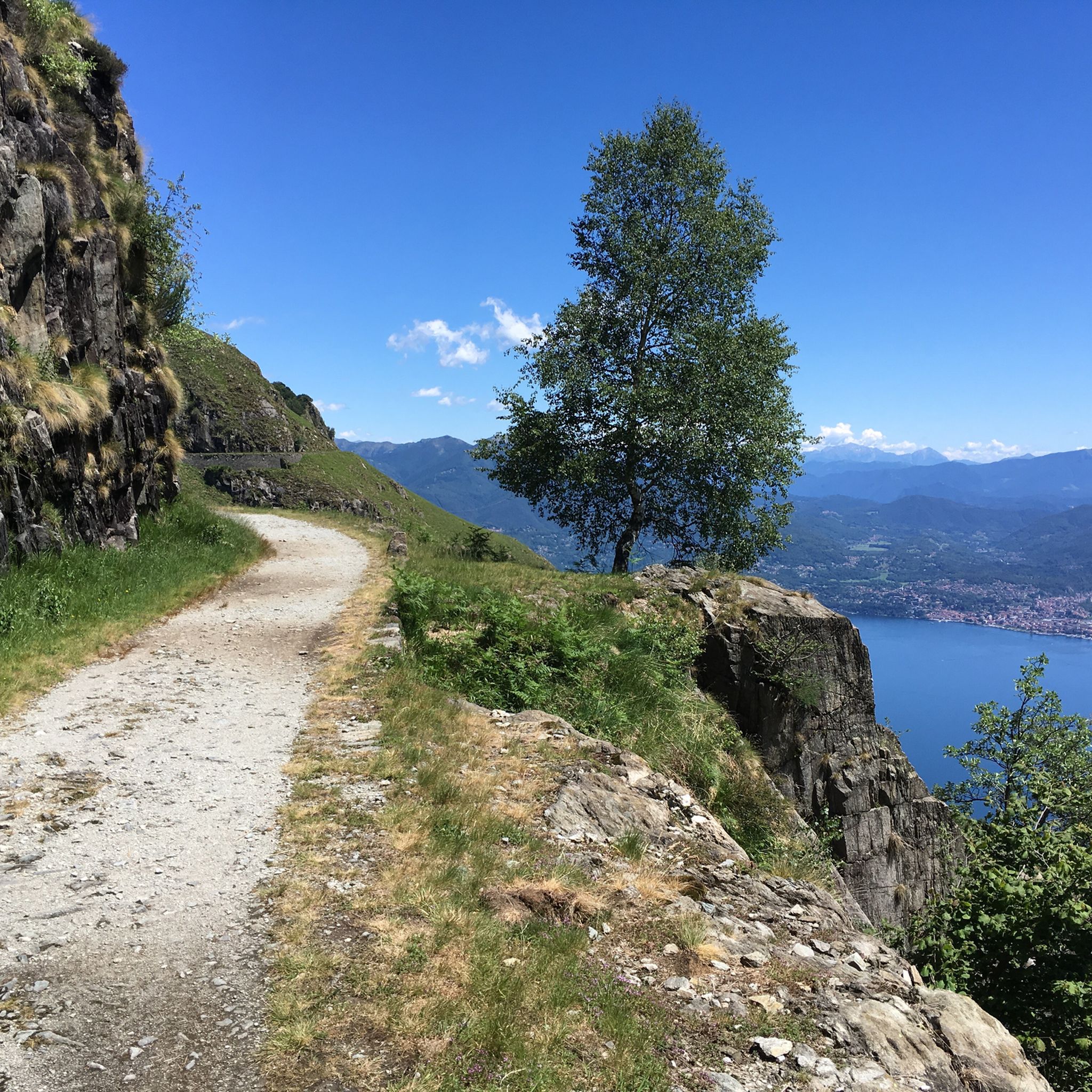
- Another must-see spot is Cuvignone Pass, a mountain pass located at an altitude of 1,050 meters, connecting Valcuvia with Luinese. Various hiking trails start from the pass, allowing visitors to admire Lake Maggiore.
- Visitors also love Forcora Pass, a mountain pass not far from the Swiss border, offering views of the valleys around Luino. It serves as a starting point for hikes and features a large car park.
- Cannero Riviera is known for summits, mountain passes, and viewpoints. The region offers a variety of mountain peaks to see and explore, from areas with historical fortifications to rugged national park landscapes.
- The mountain peaks around Cannero Riviera are appreciated by the komoot community, with more than 240 upvotes and 170 photos shared by visitors.
Last updated: October 11, 2026
Cross at Pizzoni di Laveno
Highlight • Summit
Translated by Google •
Tip by

Cuvignone Pass
Highlight • Mountain Pass
The Cuvignone Pass (1,036 m above sea level) is a pass near Vararo, in the Varese area between Valcuvia and Luinese.
In cycling, it is known for its demanding climb, which can be tackled from various sides (directly from Cittiglio or Castelveccana, or indirectly after climbing Sant'Antonio or crossing the San Michele Pass). It has been used for training since the time of Alfredo Binda (originally from the area) and offers particularly technical and demanding descents. Ivan Basso also trained there.
The pass is also famous in the automotive world, as it has been the most selective timed section of the "ACI Varese Rally" since the 80s, today the "Rally dei Laghi". Even in motorsport, as in cycling, it has been tackled in all directions, and in all directions it has always stood out for its difficulty, consisting of fast sections, others slower but very technical, narrow hairpin bends uphill and downhill – all over a length of about 12/14 km at the discretion of the organizer.
Text / Source: wikipedia.org/wiki/Passo_del_Cuvignone
it.wikipedia.org/wiki/Passo_del_Cuvignone
Showing Translation
Tip by

Sign up now to discover places like this
Get recommendations on the best single tracks, peaks, & plenty of other exciting outdoor places.
Forcora Pass
Highlight • Mountain Pass
The green meadows of the Forcora Pass are also prized for their breathtaking views of the valleys around Luino and for a stopover in the clear air on a hike in this delightful setting. The Forcora Pass can be reached by car via a navigable panoramic road that branches off from Maccagno. At the top of the pass there is a large, comfortable car park, where coaches can also be parked.
Translated by Google •
Tip by

Monte Clivio Summit Cross and Chapel
Highlight • Summit
Translated by Google •
Tip by
Monte San Martino Memorial and Chapel
Highlight • Monument
Translated by Google •
Tip by

Sign up for free to discover even more peaks around Cannero Riviera.
Already have an account?
Start today with a free account
Your next adventure awaits.
Tips from the Community

A little around the corner there is a restaurant with a beautiful view of Largo Maggiore
0
0

Passo S. Antonio Vararo / Cuvignone 1,036 m Passage at 1,036 meters above sea level From the South: Cittiglio to the North: Porto Valtravaglia About 200 hairpin bends on asphalt Strada Provinciale 8 https://stradedamoto.it/strade.asp?RicPas=4281
14
0
Passo del Monte Cuvignone Via Vararo, Cittiglio / Castelveccana VA The Cuvignone Pass (1,036 m above sea level) is a pass near Vararo, in the Varese area between Valcuvia and Luinese. In cycling, it is known for its demanding climb, which can be tackled from various sides (directly from Cittiglio or Castelveccana, or indirectly after climbing Sant'Antonio or crossing the San Michele Pass). It has been used for training since the time of Alfredo Binda (originally from the area) and offers particularly technical and demanding descents. Ivan Basso also trained there. The pass is also famous in the automotive world, as it has been the most selective timed section of the "ACI Varese Rally" since the 80s, today the "Rally dei Laghi". Even in motorsport, as in cycling, it has been tackled in all directions, and in all directions it has always stood out for its difficulty, consisting of fast sections, others slower but very technical, narrow hairpin bends uphill and downhill – all over a length of about 12/14 km at the discretion of the organizer. Text / Source: wikipedia.org/wiki/Passo_del_Cuvignone https://it.wikipedia.org/wiki/Passo_del_Cuvignone
14
0

a classic from the Varese area. It's worth it.
2
0

At the top there will be a large cross that rises towards the municipalities of Dumenza and Agra and the characteristic chapel dedicated to S.Gra.
0
0
At the top of Clivio stands a large cross that rises towards the municipalities of Dumenza and Agra and the characteristic chapel dedicated to S.Gra.
0
0

From here you can find different routes, better to travel with people who know the area
1
0

Ring from the Forcola pass to Monte Paglione
0
0
Frequently Asked Questions
Which mountain peaks near Cannero Riviera offer the most expansive views of Lake Maggiore?
For breathtaking panoramic views of almost the entire Lake Maggiore, consider visiting Cima di Morissolo. Another excellent option is the Cross at Pizzoni di Laveno, which offers a magnificent panorama over the lake and the mountains on the western shore.
Are there mountain peaks with historical significance near Cannero Riviera?
Yes, Cima di Morissolo is notable for its fortifications of the Linea Cadorna, a WWI defense line that now forms a scenic route. Additionally, Monte San Martino Memorial and Chapel offers a rich history as a place of worship dating back to Celtic times, with a small church and a refuge.
What are some family-friendly mountain areas or passes around Cannero Riviera?
The Forcora Pass is a great choice for families. It features a large car park and green meadows, making it suitable for a stopover or gentle walks. Historically popular for winter sports, it still offers stunning views of the valleys around Luino.
Where can I find challenging mountain hikes near Cannero Riviera?
Experienced hikers seeking challenging terrain might explore the Val Grande National Park to the west of Cannero, known for its rugged landscapes and secluded mountains. For a specific highlight, the ascent to the Cross at Pizzoni di Laveno involves climbing over large boulders in a steep climb.
Are there mountain trails that pass through traditional villages?
Yes, the trails around Monte Carza provide opportunities to explore traditional Alpine villages such as Trarego, Viggiona, and Cheglio, offering a serene mountain environment above the lake. Many ancient mule tracks in the region also connect lakeside towns with charming medieval villages like Carmine Superiore, Oggiogno, Donego, and Piancassone.
What kind of natural features can I expect to see on mountain hikes in this region?
The region boasts a Mediterranean climate, leading to lush vegetation, including chestnut and oak woods. You'll encounter recurring lake views, especially from elevated areas. Peaks like Monte Clivio Summit Cross and Chapel offer views of Lake Maggiore and, on clear days, the Monte Rosa massif.
What outdoor activities can I do near the mountain peaks around Cannero Riviera?
Beyond hiking, you can find various outdoor activities. For cycling enthusiasts, explore routes detailed in Cycling around Cannero Riviera. Mountain biking trails are also available, with options like the 'Tra le rovine militari della Linea Cadorna' loop, which is an easy MTB trail, as highlighted in MTB Trails around Cannero Riviera.
Are there specific mountain passes that serve as good starting points for hikes?
Absolutely. The Cuvignone Pass, located at 1,050 meters, is a popular starting point for various hiking trails that allow you to admire Lake Maggiore. Similarly, Forcora Pass also serves as an excellent starting point for hikes, offering convenient parking.
What do visitors enjoy most about the mountain peaks around Cannero Riviera?
Visitors frequently praise the stunning panoramic views over Lake Maggiore and the surrounding Alps. The combination of natural beauty with historical elements, such as the Linea Cadorna fortifications and ancient mule tracks, also adds a unique appeal. The komoot community has shared over 170 photos and given more than 240 upvotes for these highlights.
Can I find trails that follow historic military roads?
Yes, the area around Monte Spalavera features an historic WWI military road (Route R34) as part of its hiking network. This allows you to traverse historically significant paths while enjoying extensive vistas.
What is the best time of year to visit the mountain peaks near Cannero Riviera?
The region's Mediterranean climate allows for lush vegetation, making ascents particularly scenic. While specific seasonal advice isn't detailed for every peak, the general area is enjoyable for hiking from spring through autumn. Some passes, like Forcora Pass, were historically popular for winter sports, suggesting year-round accessibility depending on conditions.
Most popular routes around Cannero Riviera
Most popular attractions around Cannero Riviera

Get inspired with the komoot mobile app


Explore more
See even more amazing summits around Cannero Riviera with these guides:
