The 9 Most Amazing Peaks around Montacuto
Mountain peaks around Montacuto are situated in the Ligurian Apennines, within the province of Alessandria in Piedmont, Italy. This region is characterized by its diverse mountainous terrain, featuring peaks that form watersheds for valleys such as the Borbera and Curone. The landscape includes a mix of thick woods at lower altitudes and expansive grassy slopes at higher elevations. Montacuto serves as a base for exploring these natural features, which offer varied hiking opportunities and panoramic viewpoints.
Best mountain peaks around…
Last updated: July 1, 2026
Monte Ebro
Highlight • Summit
Translated by Google •
Tip by

Statue of Christ the Redeemer on Monte Giarolo
Highlight • Monument
Translated by Google •
Tip by

Sign up now to discover places like this
Get recommendations on the best single tracks, peaks, & plenty of other exciting outdoor places.
Sign up for free
Monte San Vito Summit
Highlight • Summit
Translated by Google •
Tip by

Monte Chiappo Summit and Rifugio Monte Chiappo
Highlight • Summit
Translated by Google •
Tip by
Capanne di Cosola
Highlight • Mountain Hut
Translated by Google •
Tip by

Sign up for free to discover even more peaks around Montacuto.
Sign up for free
Already have an account?
Start today with a free account
Your next adventure awaits.
Login or Signup

Tips from the Community

Beautiful and scenic stop after the climb along the Apennine bike tour
1
0

Each of these crosses, which travelers often encounter in the fields or, as here, on mountain peaks, is a reminder of the crucifixion and resurrection of Jesus Christ. “Here on earth, His memory exists, but in the Kingdom of Heaven is His presence: this presence is the joy of those who have already attained salvation. Remembrance is our comfort, we who are still wanderers, traveling toward our homeland.” (Saint Bernard of Clairvaux, c. 1090–1153)
0
0
Up here, on Monte Giarolo, the hiker won't find the classic summit cross that crowns many mountains. Instead, on a pedestal divided into two sections, stands the figure of the Risen Christ, adorned with a cross. Christ raises one arm in greeting—or rather, in blessing—and with the other, he embraces the cross, that gruesome symbol of suffering and death, which, through his resurrection, he transformed into a glorious symbol of victory over death.
0
0

At 1,473 meters above sea level, the peak of Mount Giarolo is on the so-called Ligurian Apennines but in the province of Alessandria, Piedmont. It is the northernmost point of the Antola chain and divides the Borbera and Curone valleys. On the summit there is a statue of Christ the Redeemer.
1
0

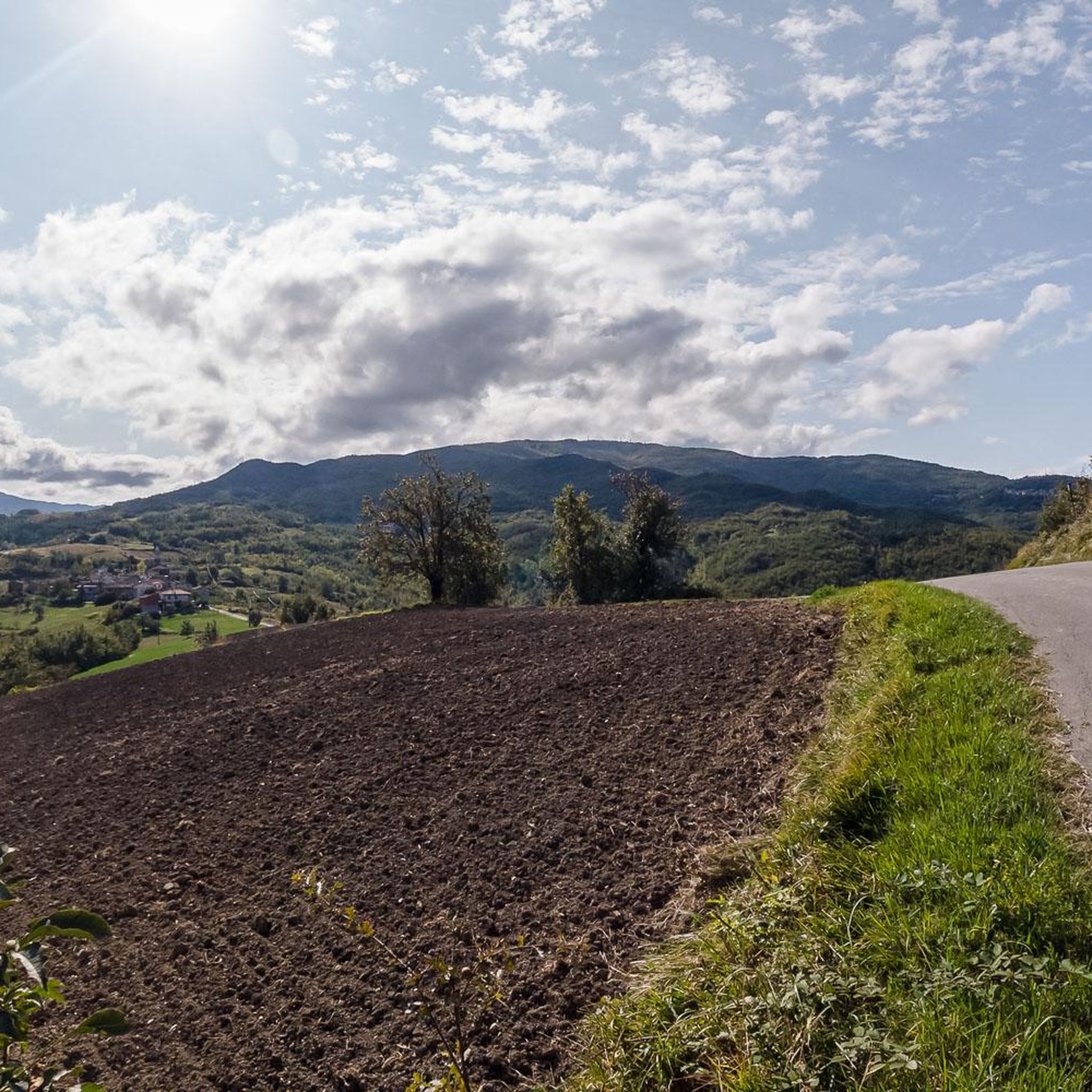
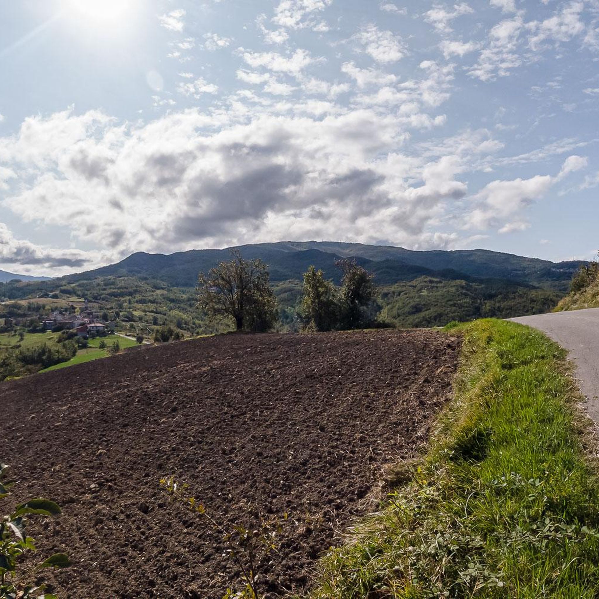
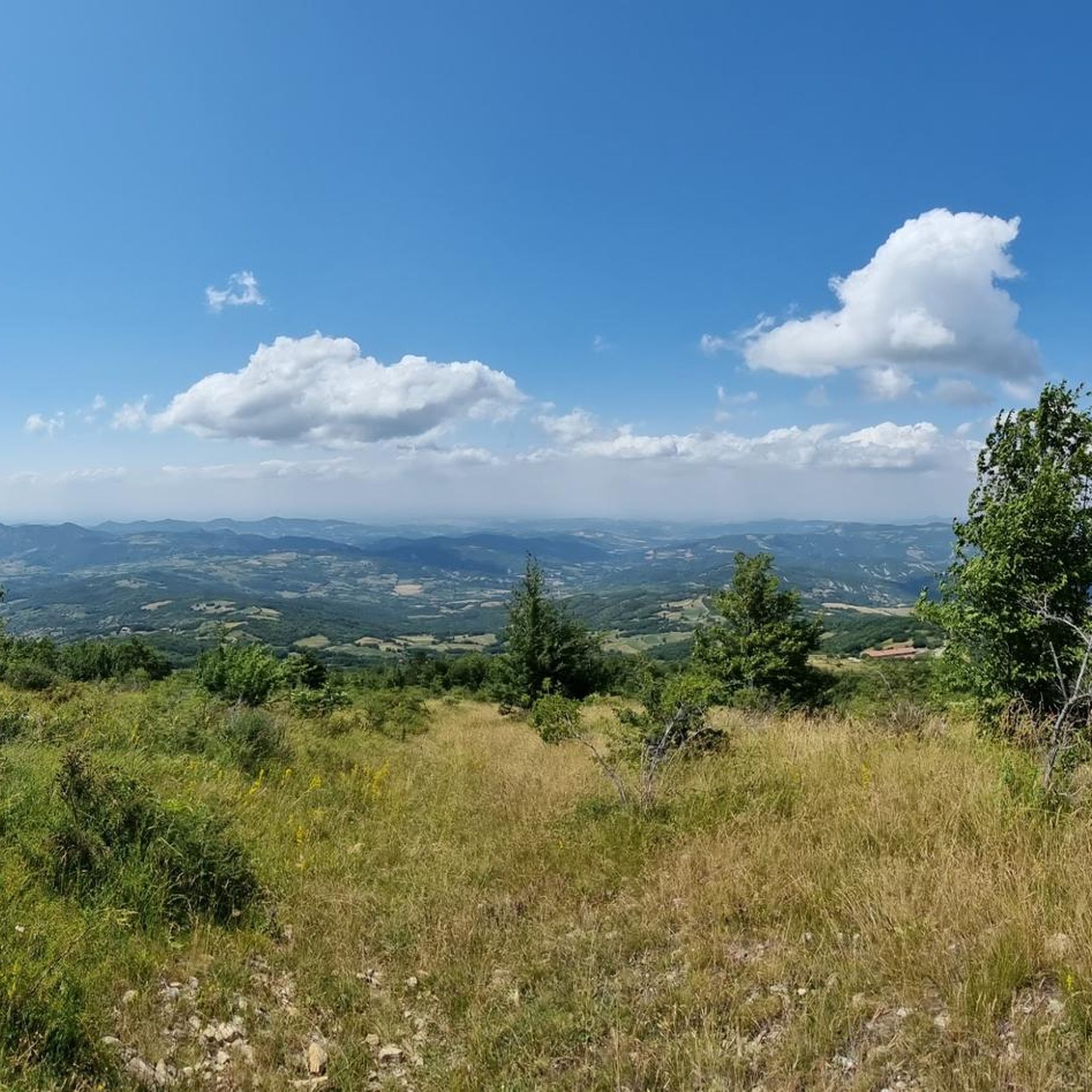
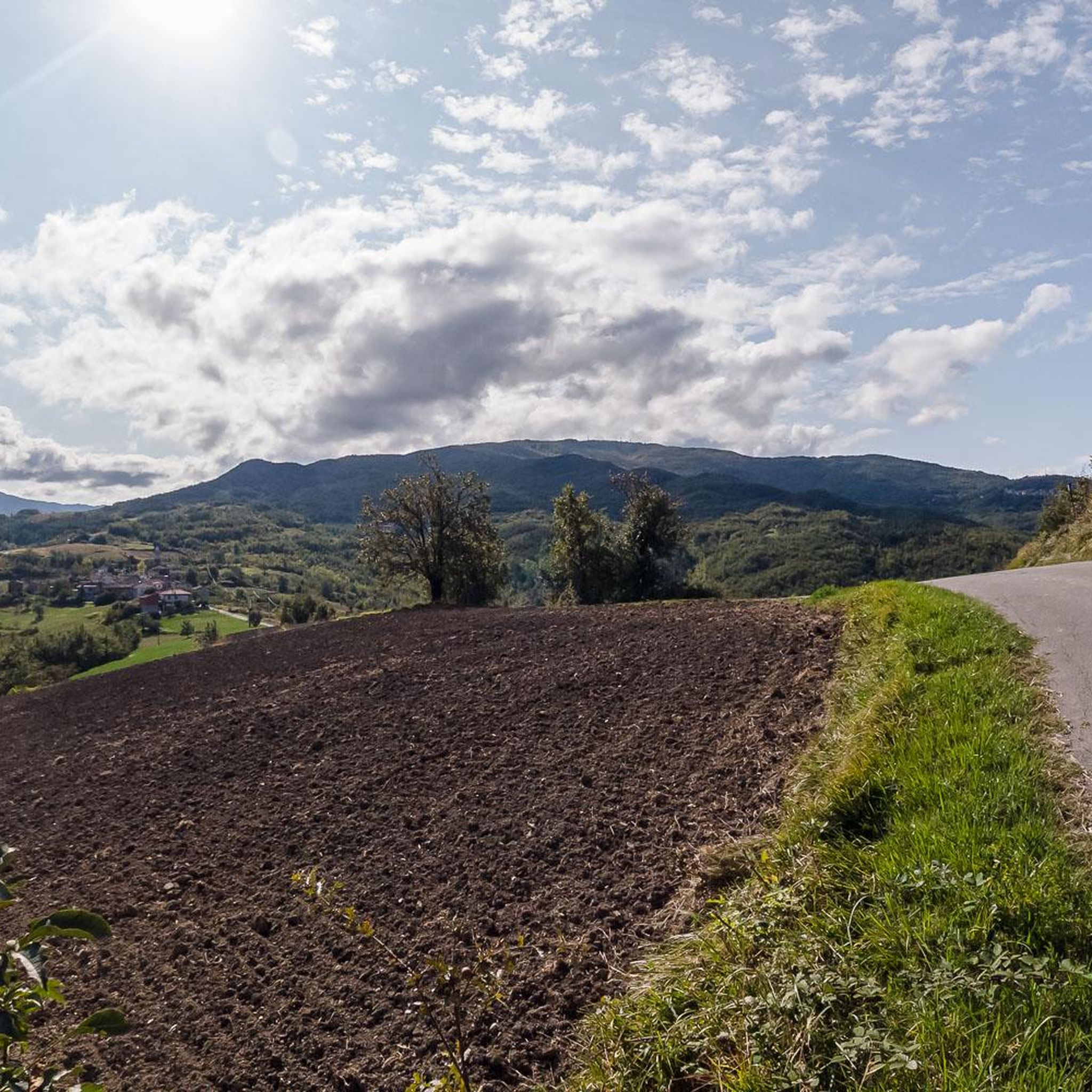
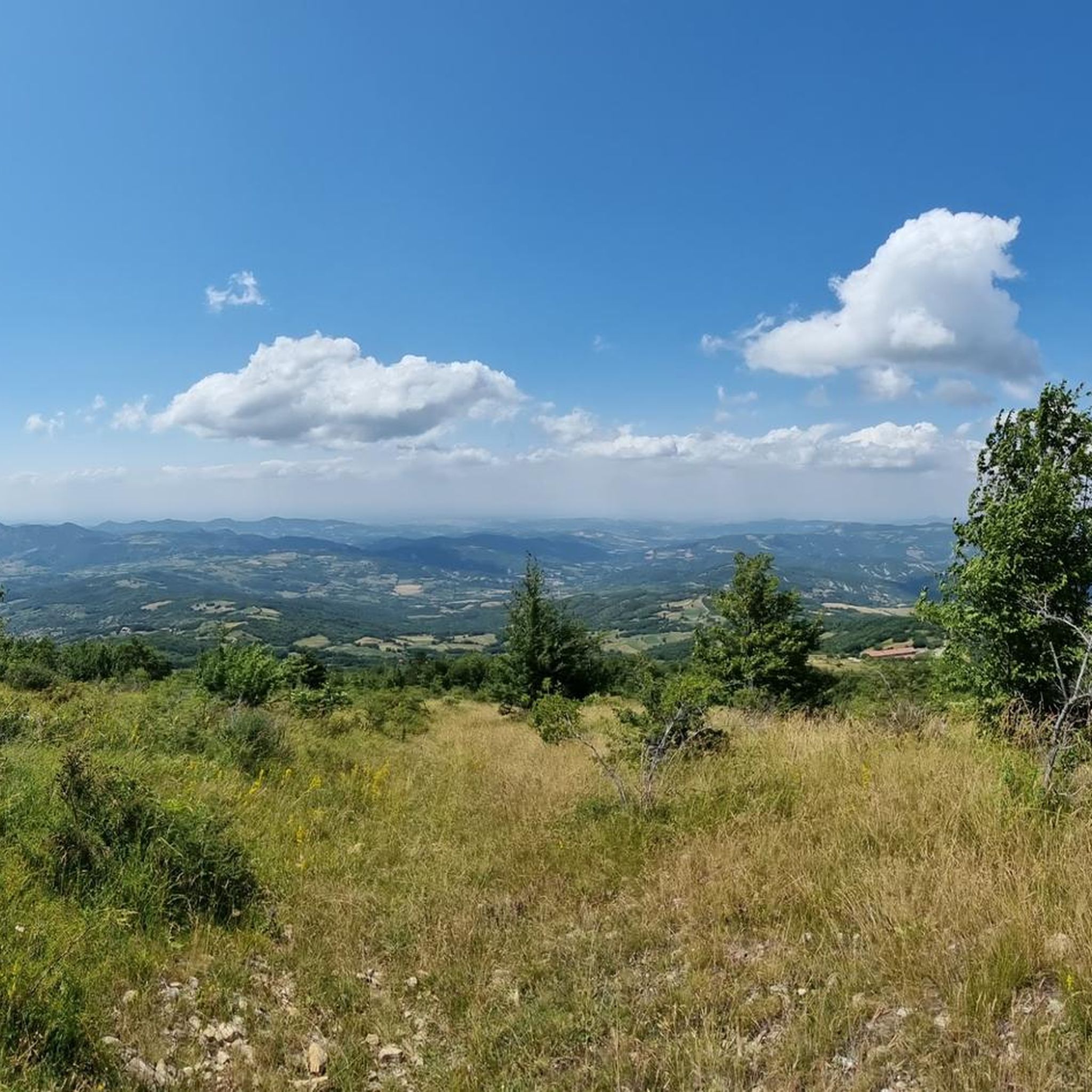
Mount Ebro (1700 m above sea level) is the most beautiful and panoramic mountain of the entire Ántola chain, and one of the most beautiful and panoramic of the entire Ligurian Apennines. It is a gigantic pyramid, mostly grassy, that rises on the watershed between Borbera and Curone, a short distance from the important node of Mount Chiappo. The slopes of the mountain are generally wide and slightly sloping, covered by thick woods at lower altitudes, and meadows above 1400-1500 meters. The imposing southern slope is an exception, which towers, very high and steep, over the village of Aie di Cósola.
4
0
Monte Chiappo (1700 m above sea level) is a large grassy mountain, vaguely shaped like a large pyramid, which rises on the main axis of the Ántola Chain. The Stàffora and Curone streams originate on its northern side; for this reason, near the summit the mountain range divides into three buttresses: the easternmost one divides the Stàffora Valley from the Trebbia Valley, rising further into Monte Lésima; the central one heads north, forming the watershed between Stàffora and Curone, while the western one, on which Monte Ebro stands, separates the Borbera Valley from the Curone Valley. The summit of the mountain is the meeting point between the regional borders of Piedmont, Emilia-Romagna and Lombardy.
4
0
The Feast of the Redeemer has been celebrated on Mount Giarolo since the beginning of the last century, when the first statue of the Redeemer was erected on August 11, 1901 (replaced with the new one exactly one hundred years later) in order to celebrate the 19th centenary of the birth of Christ. It was inaugurated by the Bishop of Tortona who, for the occasion, promoted a diocesan pilgrimage in which approximately 12,000 faithful participated. Since then, every year on the first Sunday of August tourists and faithful go to the top of the mountain to renew the tradition.
3
0

Very panoramic view of the Curone valley and the plain. Access is easy even if the last stretch is quite steep
1
0
Frequently Asked Questions
What are the most popular mountain peaks to visit around Montacuto?
The most popular mountain peaks around Montacuto include Monte Ebro, known for its spectacular views and grassy slopes, and Statue of Christ the Redeemer on Monte Giarolo, which offers panoramic views from the northernmost point of the Antola chain. Another favorite is Monte Chiappo Summit and Rifugio Monte Chiappo, a large grassy mountain where the regional borders of Piedmont, Lombardy, and Emilia-Romagna meet.
Are there family-friendly mountain walks in the Montacuto area?
While the guide highlights intermediate and challenging peaks, the region research mentions that the Monte Ebro area, with its generally wide and slightly sloping grassy slopes, can be suitable for families at lower altitudes. For specific easy walks, it's best to check individual route descriptions on komoot for difficulty ratings.
What kind of views can I expect from the mountain peaks around Montacuto?
The mountain peaks around Montacuto offer diverse and spectacular views. From Monte Ebro, you can enjoy panoramic vistas of the entire Ántola chain. Monte Giarolo provides extensive views from its position as the northernmost point of the Antola chain. Monte San Vito Summit offers a magnificent view from its rocky crags, especially at sunrise or sunset.
What outdoor activities can I do near the mountain peaks around Montacuto?
The Montacuto area is excellent for various outdoor activities. You can find numerous running trails, such as the challenging 'Croce degli Alpini Summit – View of Val Borbera Ridge loop,' or gravel biking routes like the 'Capanne di Cosola (1493 m) – Passo del Giova loop.' For mountain biking enthusiasts, there are trails like the 'Via del Sale and Monte Chiappo Loop.' You can explore more options on the dedicated guides for Running Trails around Montacuto, Gravel biking around Montacuto, and MTB Trails around Montacuto.
Are there any mountain huts or refuges available near the peaks?
Yes, there are mountain huts in the vicinity. Monte Chiappo Summit and Rifugio Monte Chiappo includes a refuge that offers services. Additionally, Capanne di Cosola, a popular destination for cyclists and hikers, also has a refuge.
What is the terrain like on the mountain peaks around Montacuto?
The terrain varies across the peaks. Monte Ebro is described as a gigantic, mostly grassy pyramid with wide, slightly sloping grassy slopes above 1400-1500 meters, though its southern slope is very high and steep. Monte Chiappo is also a large grassy mountain. Some trails, like those leading to Monte San Vito Summit, can be steep and sometimes inaccessible due to depth and slope.
What is the best time to visit the mountain peaks around Montacuto for hiking?
The guide data doesn't specify a 'best time to visit,' but generally, the Ligurian Apennines are pleasant for hiking from late spring through early autumn (May to October). During these months, the weather is typically milder, and trails are more accessible. Always check local weather forecasts before planning your trip.
Are there any cultural or historical landmarks on these peaks?
Yes, Statue of Christ the Redeemer on Monte Giarolo is a significant man-made monument with historical and religious importance. The original statue was erected in 1901 to celebrate the 19th centenary of Christ's birth, and a new one replaced it a century later. A traditional Feast of the Redeemer is celebrated here annually.
What are the elevation and difficulty levels of the peaks around Montacuto?
The peaks vary in elevation and difficulty. Monte Ebro and Monte Chiappo both reach approximately 1700 meters above sea level and are generally rated as intermediate. Monte Giarolo is at 1,473 meters and is rated as intermediate to challenging. Monte San Vito Summit is lower at 684 meters but can have inaccessible and steep sections, rated intermediate. The area offers a range from intermediate to challenging climbs.
What do visitors enjoy most about the mountain peaks around Montacuto?
Visitors particularly appreciate the spectacular panoramic views from peaks like Monte Ebro and Monte San Vito Summit. The diverse hiking opportunities, ranging from grassy slopes to more challenging ramps, are also highly valued. The presence of mountain huts like Rifugio Monte Chiappo and Capanne di Cosola, offering services and a place to rest, adds to the positive experience for many.
Can I reach the trailheads for these peaks using public transport?
The guide data does not specifically detail public transport options to individual trailheads around Montacuto. It is generally recommended to check local public transport schedules and routes for the specific starting points of your chosen hikes, as access can vary in mountainous regions.
Are there any specific permits required for hiking in the Montacuto mountain areas?
The provided information does not indicate any specific permits required for general hiking on the mountain peaks around Montacuto. However, it's always advisable to check with local tourism offices or park authorities for the most current regulations, especially if you plan to visit protected areas or engage in specific activities.
Most popular attractions around Montacuto

Get inspired with the komoot mobile app


Explore more
See even more amazing summits around Montacuto with these guides:
