The best running trails around Cabella Ligure
4.9
(6)
409
runners
53
runs
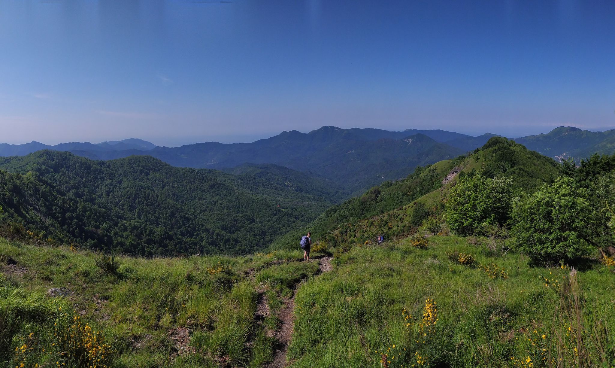
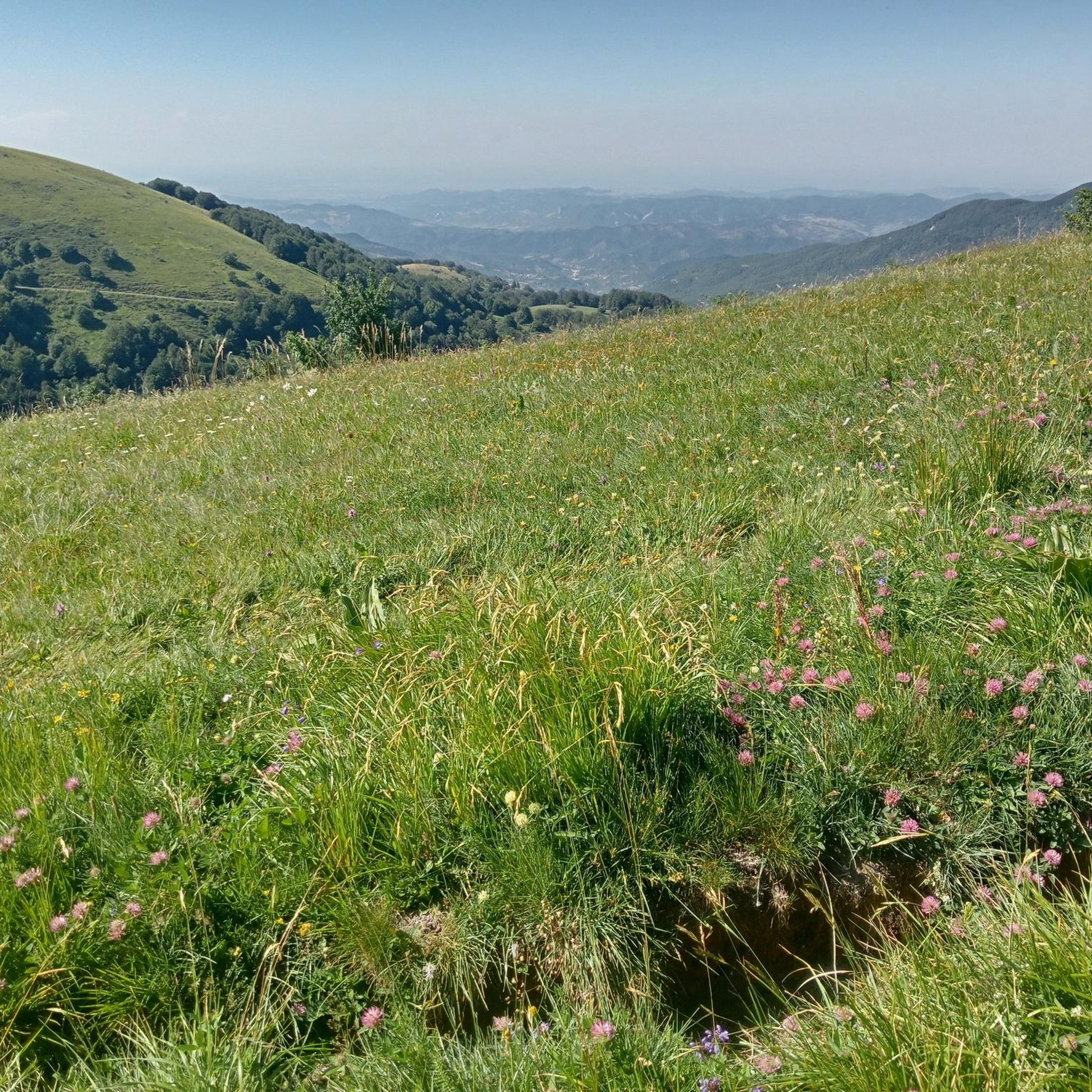
Jogging routes around Cabella Ligure are situated in the Ligurian Apennines, characterized by a diverse landscape of lush forests, expansive vineyards, and cultivated fields. The region features significant peaks such as Monte Giarolo and Monte Ebro, alongside valleys formed by the Borbera and Liassa torrents. This varied topography offers a mix of challenging mountain ascents and scenic valley paths for runners.
Best jogging routes around Cabella Ligure
- The most popular jogging route is From Artana to Monte Carmo via the…
Last updated: July 1, 2026
2
runners
15.3km
02:20
680m
680m
Embark on a challenging jogging adventure along the Vallenzona - Sesenelle Pass - Monte Buio - Monte Antola Trail, a difficult route that takes you through the stunning Antola Natural…
22.4km
03:20
1,140m
1,130m
Hard run. Very good fitness required. Mostly paved surfaces. Suitable for all skill levels.

Sign up for free
5.0
(1)
86
runners
42.5km
06:20
1,810m
1,810m
Hard run. Very good fitness required. Sure-footedness, sturdy shoes and alpine experience required.
17
runners
16.8km
02:32
860m
860m
Hard run. Very good fitness required. Sure-footedness, sturdy shoes and alpine experience required.
11
runners
26.4km
03:53
1,260m
1,260m
Hard run. Very good fitness required. Sure-footedness, sturdy shoes and alpine experience required.
Get access to more routes and recommendations from other explorers.
Sign up for free
Already have an account?
Our route recommendations are based on thousands of hikes, rides, and runs completed by other people on komoot.
Start today with a free account
Your next adventure awaits.
Login or Signup



Tips from the Community


Beautiful and scenic stop after the climb along the Apennine bike tour
1
0

The Rifugio Monte Elfo is a small hiking refuge in the Ligurian-Piedmontese Apennines, located in the surroundings of Pian del Poggio and the Monte Ebro / Monte Chiappo area. It appears in various trekking and MTB itineraries in the area of Caldirola and Pian del Poggio.
12
0

The small sacred monument we encounter on Monte Carmo is perhaps the perfect place for a brief moment of reflection. A few years ago, Christiane Völkel commented on the wonderfully fitting sentence by the Italian poet Francesco Petrarch (who lived in the 14th century), "Everywhere one has heaven above oneself," as follows: "What is the use of prayer? This question moves me (...) I have found for myself the answer and the certainty that when I pray I am with the Lord, or rather, that when I pray he is often noticeably closer to me than usual. Thus, I retain the possibility of pouring out my heart to him (...) This intimacy with him makes me believe in him."
0
0


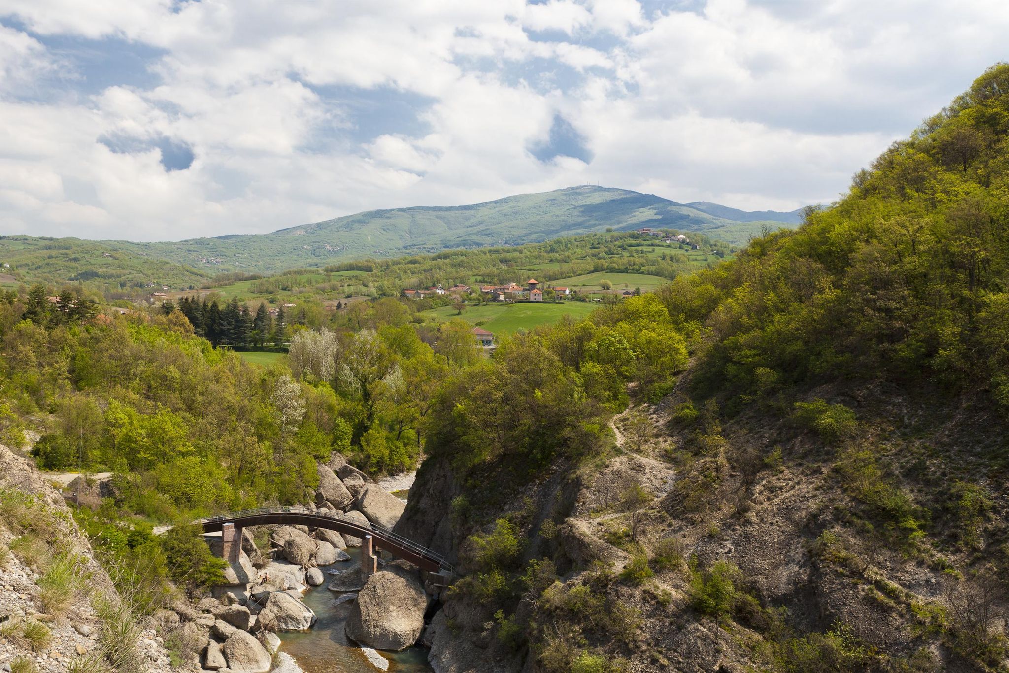
very suggestive wooden bridge
0
0
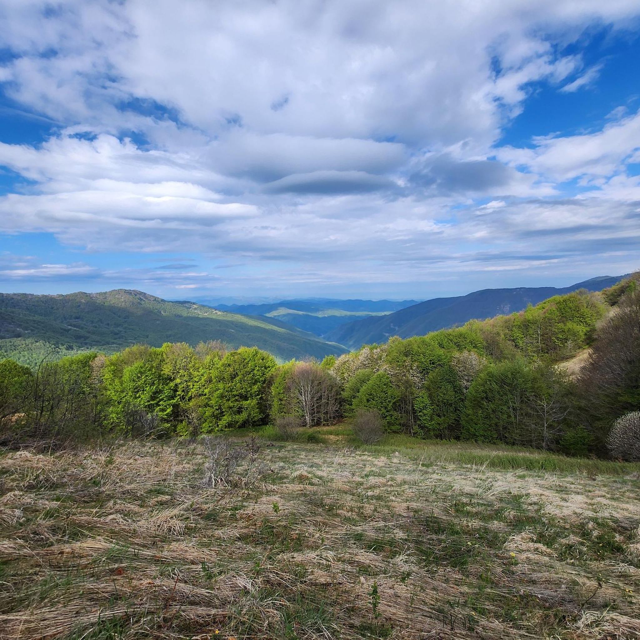
summit cross and panoramic place
0
0
The most famous crucifix in Italy is not found on the tops of the mountains, although of course there are many summit crosses all over the country, such as here on Monte CARMO, but in literature: The author Giovanni Guareschi, spiritual father of the protagonists 'Don Camillo' and 'Peppone', has included another main character in his stories - which are well-known and popular far beyond the country's borders: the crucified Christ, who speaks to Don Camillo from the high altar. The author himself makes the following comment on this: "So you have to explain: if the priests feel insulted by Don Camillo, they can smash a candlestick on my skull for all I care; if the communists are insulted by Peppone, they can break a club in two on my back; but if someone feels insulted by Christ's speeches, there's nothing you can do. Whoever speaks in my stories... is my Christ, that is, the voice of my conscience. My personal business, my affair. And therefore: each for himself and God for all.” (G. Guareschi)
2
0
Frequently Asked Questions
How many running routes are available in Cabella Ligure?
Cabella Ligure offers a wide selection of running routes, with over 50 dedicated trails available for exploration. These routes cater to various preferences, though many feature challenging terrain.
What kind of terrain can I expect on running trails in Cabella Ligure?
The running trails in Cabella Ligure are characterized by the diverse landscape of the Ligurian Apennines. You can expect a mix of challenging mountain ascents, particularly around peaks like Monte Giarolo and Monte Ebro, as well as scenic valley paths through lush forests, vineyards, and cultivated fields. The terrain often transitions from thick woods at lower altitudes to open meadows higher up.
Are there any family-friendly running routes in the area?
While many routes in Cabella Ligure are rated as difficult due to significant elevation changes, the region's diverse topography means there are likely gentler paths along the valleys suitable for families. It's recommended to check individual route details on komoot for specific difficulty ratings and terrain descriptions to find the best fit for your family.
Can I bring my dog on the running trails around Cabella Ligure?
The natural environment of Cabella Ligure, with its extensive trail networks through forests and meadows, is generally welcoming for dogs. However, it's always best to check local regulations or specific route descriptions for any restrictions, especially in protected areas or private lands. Always keep your dog under control and clean up after them.
Are there any circular running routes available?
Yes, Cabella Ligure features several excellent circular running routes. For instance, the challenging From Artana to Monte Carmo via the Maddalena Pass – loop run is a 22.4 km trail, and the Monte Bagnolo – Monte Garavè loop from Forotondo offers a 15.7 km option. Another notable loop is the Monte Giarolo – Rifugio Piani di San Lorenzo loop from Cantalupo Ligure, covering 18.3 km.
What are some notable landmarks or points of interest I might see while running?
While running in Cabella Ligure, you might encounter several interesting landmarks. The summit of Monte Giarolo, for example, hosts a Statue of Christ the Redeemer, offering magnificent views. The region is also home to historical structures like Castello della Pietra and Adorno Castle and Village. Additionally, you could pass through significant mountain passes such as Casa del Romano or Three Crosses Pass, which are often part of longer routes.
Is parking available near the trailheads?
Given the rural and mountainous nature of Cabella Ligure, parking is generally available in or near the villages that serve as starting points for many trails. For specific routes, it's advisable to check the komoot tour page for details on parking facilities at the trailhead or nearby access points.
How can I reach the running trailheads using public transport?
Public transport options to reach specific trailheads in the Ligurian Apennines can be limited, especially for more remote mountain routes. Cabella Ligure itself is a small town, and while local bus services might connect to larger towns, direct access to all trailheads via public transport may not be feasible. Planning your route in advance and checking local transport schedules is recommended.
What is the best time of year for jogging in Cabella Ligure?
The Ligurian Apennines offer a beautiful backdrop for jogging throughout much of the year. Spring and autumn generally provide the most pleasant temperatures and vibrant scenery, with lush greenery in spring and rich colors in autumn. Summer can be warm, especially at lower altitudes, while winter might bring snow to higher peaks, offering a different kind of challenge for experienced trail runners.
Are there any easy running routes for beginners?
While many of the listed routes in Cabella Ligure are rated as difficult due to significant elevation, the region's varied topography includes gentler paths along the valleys. Beginners should look for routes described as having minimal elevation gain or those that stick to lower, flatter sections of the valleys. Always check the route's elevation profile and difficulty rating on komoot before heading out.
What do other runners say about the trails in Cabella Ligure?
The running routes in Cabella Ligure are highly rated by the komoot community, with an average score of 4.25 stars from over 4 reviews. Runners often praise the challenging mountain ascents, the stunning panoramic views from peaks like Monte Ebro, and the immersive experience of running through diverse natural landscapes, from thick woods to open meadows.
Are permits required to use the running trails in Cabella Ligure?
Generally, permits are not required for jogging on the established trails in the Cabella Ligure area of the Ligurian Apennines. The region is known for its extensive network of public trails. However, always be respectful of private property and any posted signs, especially if a trail crosses agricultural land.
Are there any particularly long-distance running options for experienced runners?
Yes, for experienced runners seeking a significant challenge, Cabella Ligure offers several long-distance options. The Croce degli Alpini Summit – View of Val Borbera Ridge loop from Albera Ligure is a substantial 41.1 km trail, often taking over 6 hours to complete. These longer routes typically involve considerable elevation changes and traverse varied mountain terrain.
Most popular attractions around Cabella Ligure

Get inspired with the komoot mobile app


Explore more
Browse the best Running Trails & Routes in other regions.
