The best walks and hikes around Borgoratto Alessandrino
4.3
(208)
607
hikers
77
hikes
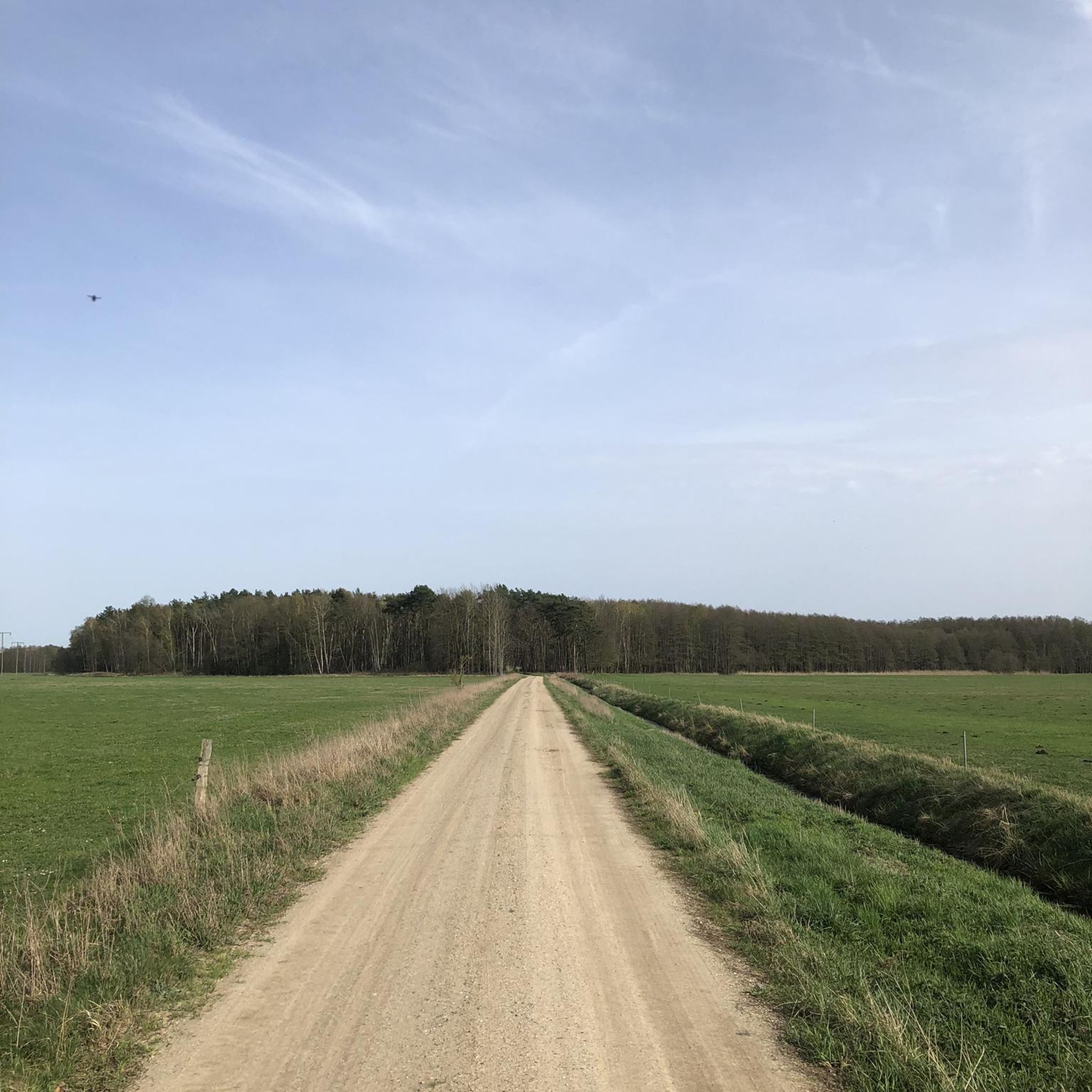
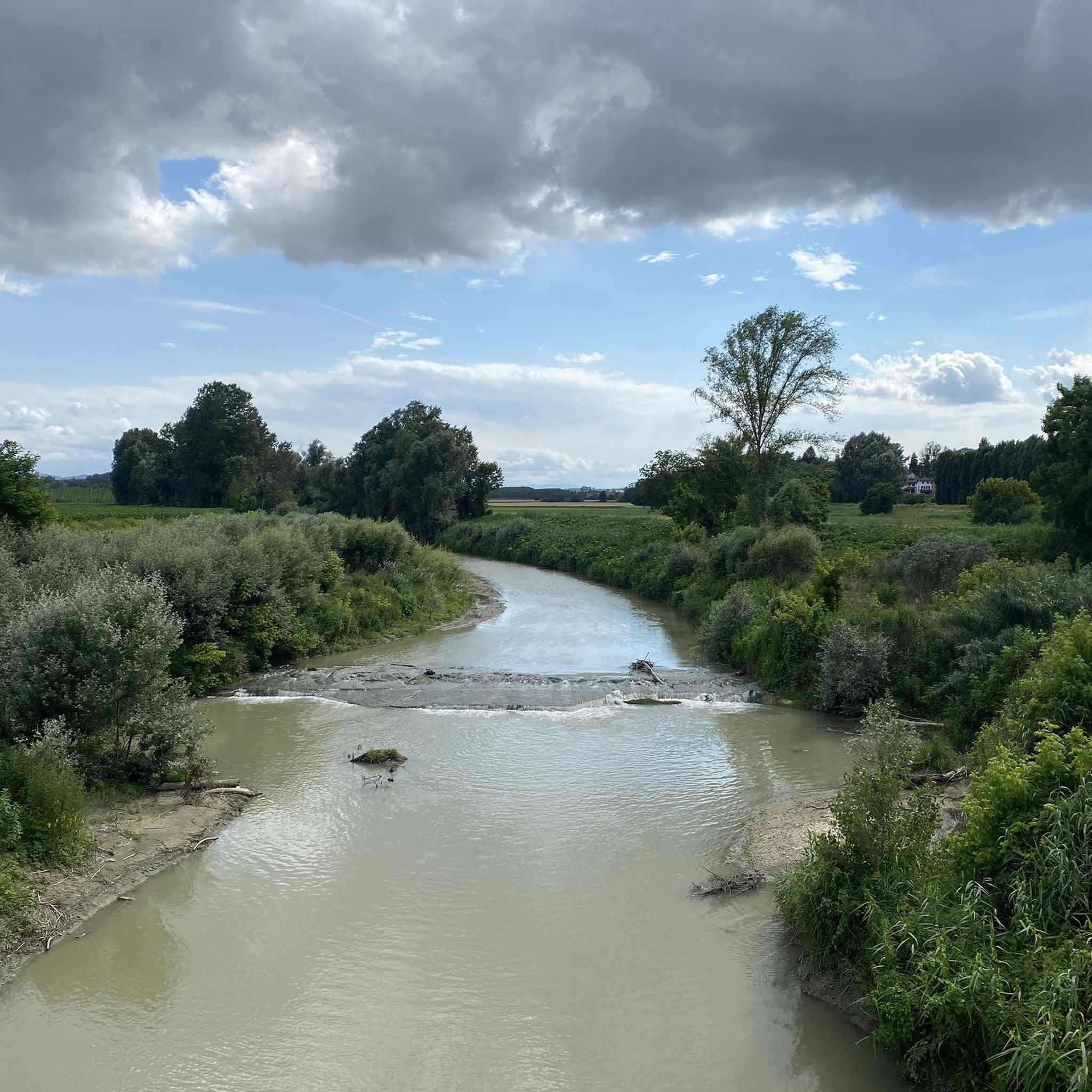
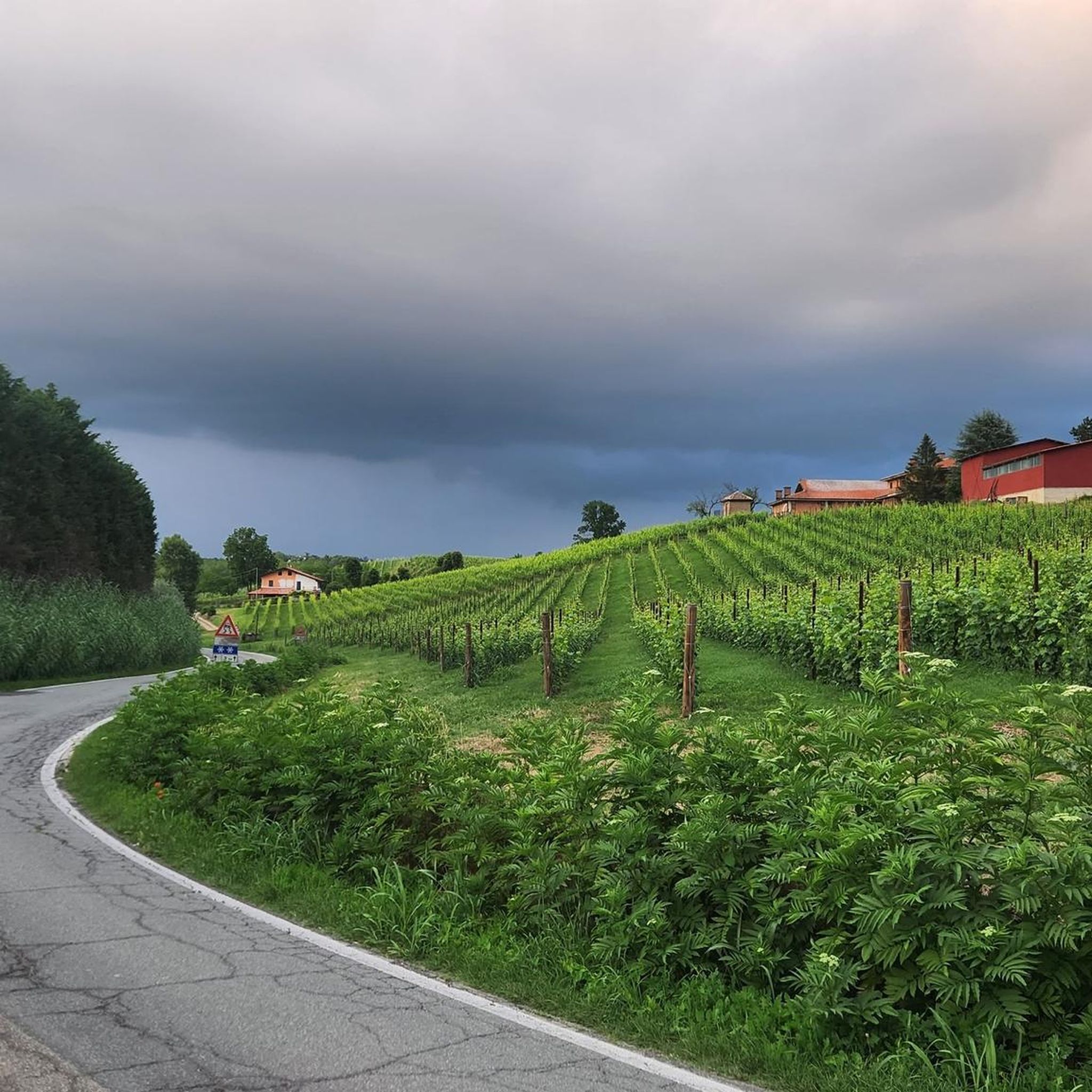
Hiking around Borgoratto Alessandrino offers exploration of the Monferrato region in Piedmont, Italy. The area is characterized by rolling hills, extensive valleys, and dense woodlands. Hikers can expect to traverse peaceful gravel trails that connect historic Piedmontese villages, winding through vineyards and farmland. The Bormida river also adds to the scenic beauty of the landscape.
Best hiking trails around Borgoratto Alessandrino
- The most popular hiking route is Strada Franca del Monferrato Trail, a 10.4 miles (16.7 km) moderate trail…
Last updated: October 18, 2026
3.0
(1)
1
hikers
12.1km
03:04
20m
20m
Moderate hike. Good fitness required. Easily-accessible paths. Suitable for all skill levels.
16.7km
04:27
170m
170m
Moderate hike. Good fitness required. Easily-accessible paths. Suitable for all skill levels.

4.5
(4)
6
hikers
10.6km
02:39
10m
10m
Moderate hike. Good fitness required. Easily-accessible paths. Suitable for all skill levels.
5.0
(2)
7
hikers
3.00km
00:46
10m
10m
Easy hike. Great for any fitness level. Easily-accessible paths. Suitable for all skill levels.
4
hikers
9.07km
02:17
10m
10m
Moderate hike. Good fitness required. Easily-accessible paths. Suitable for all skill levels.
Get access to more routes and recommendations from other explorers.
Already have an account?
Our route recommendations are based on thousands of hikes, rides, and runs completed by other people on komoot.
Start today with a free account
Your next adventure awaits.

Tips from the Community

Bench located a few kilometers from the center of Borgoratto, surrounded by greenery.
1
0
Giant bench sign (200 m before)
0
0

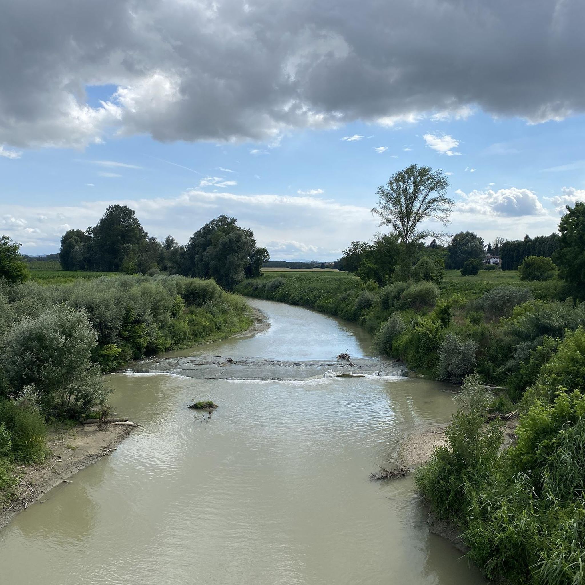
Hamlet of Alessandria; In the photo the Carlo Alberto canal - built in 1831 - which originates from the Bormida in Cassine and flows into the Tanaro in Casalbagliano; until the 1930s it entered the Tanaro downstream from the city of Alessandria; today, however, the canal has been diverted at Spandonara so that it flows upstream of the city. The old riverbed was used for the sewerage system;
1
0
trip to the suburbs of Alexandria: Cabanette https://www.youtube.com/watch?v=J9PEd-z9VmA
0
0
S. Stefano a Castellazzo Bormida. Of monastic origin, it dates back to the 11th century, both for the presence of a crypt and for the three apses, similar to those of Santa Giustina a Sezzadio. http://archeocarta.org/castellazzo-bormida-al-chiesa-di-santo-stefano/
0
1
placed on a slight hill, it deserves a visit; on clear days in front of Monte Rosa, behind the village in the distance; particular also because the reproductions of works by local artists are visible there;
1
0
Frequently Asked Questions
How many hiking trails are available around Borgoratto Alessandrino?
There are over 40 hiking routes around Borgoratto Alessandrino, offering a diverse range of experiences. These trails traverse the picturesque Monferrato region, known for its rolling hills, vineyards, and historic villages.
What kind of terrain can I expect on hikes in Borgoratto Alessandrino?
The terrain around Borgoratto Alessandrino primarily features peaceful gravel trails that wind through vineyards, farmland, and dense woodlands. You'll encounter verdant rolling hills and extensive valleys, with routes ranging from gentle walks to more strenuous options involving significant elevation changes.
Are there any easy hiking trails suitable for families or beginners?
Yes, Borgoratto Alessandrino offers 17 easy hiking routes. A great option for a gentler walk is the Castello di Maranzana loop from Maranzana, which is approximately 3.5 km long and takes about an hour to complete, offering a pleasant experience through the local landscape.
Are there any circular hiking routes in the area?
Yes, many trails in the region are circular. For example, the Big Bench loop from Mombaruzzo is a popular circular route, approximately 9.6 km long, offering varied terrain and typically taking around 2 hours 46 minutes to complete.
What are some notable landmarks or attractions I might see while hiking?
While hiking, you can explore the historical fabric of the region by passing through charming Piedmontese villages. Specific points of interest nearby include the Abbey of Santa Giustina, the Marchional Palace of Mombaruzzo, and the unique Vineyard of the Colorful Pencils.
What do other hikers say about the trails in Borgoratto Alessandrino?
The hiking routes around Borgoratto Alessandrino are highly rated by the komoot community, with an average score of 4.2 stars from over 140 reviews. Hikers often praise the peaceful gravel trails, the scenic beauty of the vineyards and historic villages, and the diverse options available for different ability levels.
Are there any longer, more challenging hikes available?
Yes, for those seeking a more significant trek, the Strada Franca del Monferrato Trail is a moderate 16.7 km route with moderate elevation changes, typically taking around 4 hours 26 minutes. Another moderate option is the 12.1 km route From Castelspina to Castellazzo Bormida (via Trail 836).
Is Borgoratto Alessandrino a good destination for hiking with dogs?
The Monferrato region, with its extensive network of rural trails through vineyards and woodlands, generally offers a welcoming environment for dog walkers. It's always advisable to keep dogs on a leash, especially near farmland or livestock, and to check local regulations for specific areas.
What is the best time of year to go hiking in Borgoratto Alessandrino?
The Monferrato region is beautiful throughout much of the year. Spring and autumn offer pleasant temperatures and vibrant landscapes, with blooming wildflowers or rich autumnal colors. Summer can be warm, making early morning or late afternoon hikes more comfortable. Winter hiking is also possible, though some trails might be muddy.
Are there any shorter hiking loops for a quick outing?
Absolutely. The Hiking loop from Mombaruzzo is an easy 5.9 km trail that can be completed in about 1 hour 40 minutes, perfect for a shorter, refreshing walk through the scenic countryside.
Is public transport available to reach hiking trailheads?
While Borgoratto Alessandrino is a smaller town, public transport options like local buses may connect it to larger centers. For specific trailheads, it's recommended to check local bus schedules or consider driving, as many routes start from villages or rural areas where public transport might be limited.
Where can I find parking for hiking trails in Borgoratto Alessandrino?
Parking is generally available in the villages and towns that serve as starting points for many trails. Look for designated parking areas within Borgoratto Alessandrino itself or in nearby villages like Mombaruzzo or Maranzana, especially near town centers or local attractions.
Most popular routes around Borgoratto Alessandrino
Most popular attractions around Borgoratto Alessandrino

Get inspired with the komoot mobile app


Explore more
Browse the best Hikes in other regions.
