The best walks and hikes around Valle San Nicolao
4.4
(2424)
13,859
hikers
709
hikes
Hiking around Valle San Nicolao, a municipality in Italy's Piedmont region, offers diverse terrain for outdoor enthusiasts. The area features a mix of hills and mountains, with elevations ranging from approximately 338 meters to over 500 meters, and an average altitude of around 783 meters in the broader region. The landscape is characterized by the basins of the Strona di Mosso and Quargnasca torrents, unique geological formations like the "Rive Rosse" with their distinctive reddish rocks, and water bodies such…
Last updated: July 7, 2026
4.5
(2)
6
hikers
5.93km
01:41
140m
140m
Enjoy an easy 3.7-mile (5.9 km) hike through the historic Piedmont countryside, featuring the medieval Castello di Quaregna.
5.0
(1)
6
hikers
9.94km
05:49
1,080m
1,080m
Alpine climb through beech woods to a lakeside meadow with sweeping views of three valleys and Monte Rosa.

Sign up for free
5.0
(1)
7
hikers
20.7km
05:54
470m
470m
Hike the challenging F14 trail through Piedmont valleys via Poggio Selletto Grosso, covering 12.9 miles with 1553 feet of gain.
5.92km
01:50
220m
220m
Peaceful valley trail connecting historic chapels and abandoned military roads through Piedmont's quiet hills.
7.01km
01:59
150m
150m
Gentle countryside walk through Piedmont's rolling hills, vineyards, and timeless villages on ancient mule tracks.
Get access to more routes and recommendations from other explorers.
Sign up for free
Already have an account?
Our route recommendations are based on thousands of hikes, rides, and runs completed by other people on komoot.
Start today with a free account
Your next adventure awaits.
Login or Signup

Tips from the Community

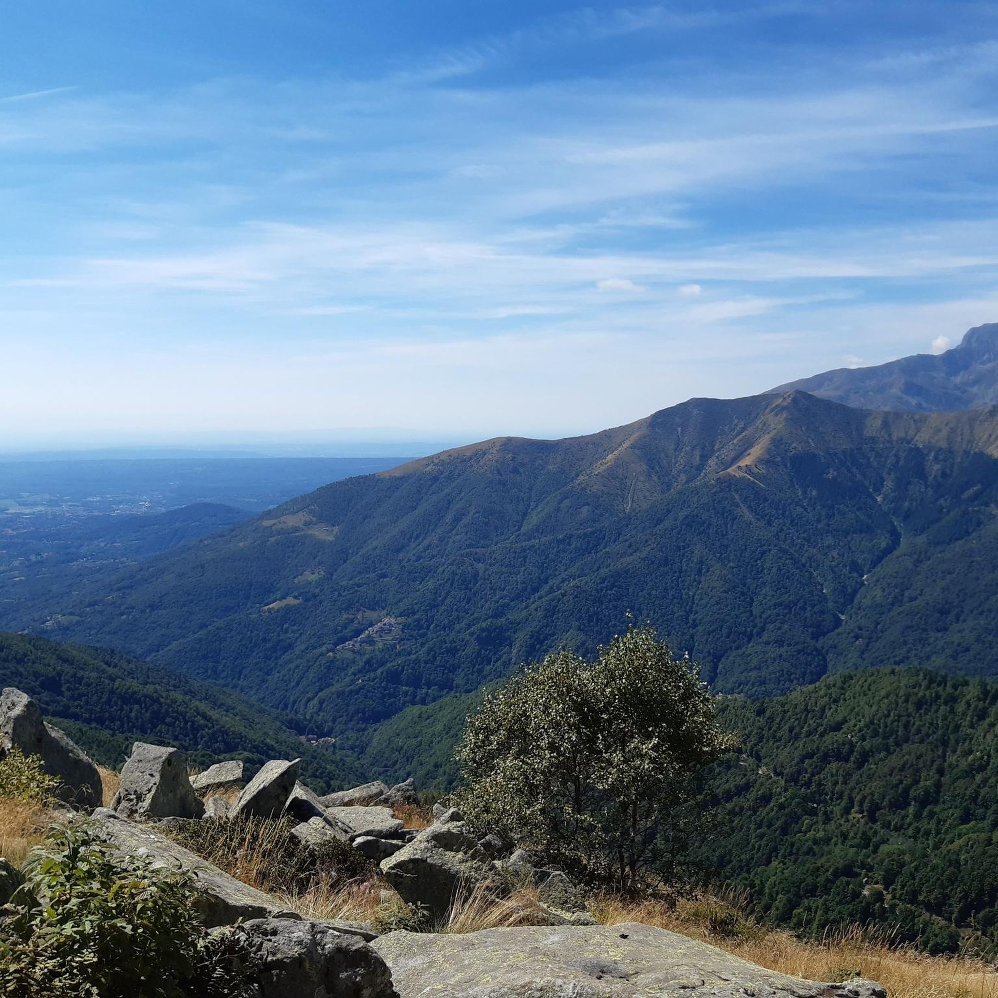
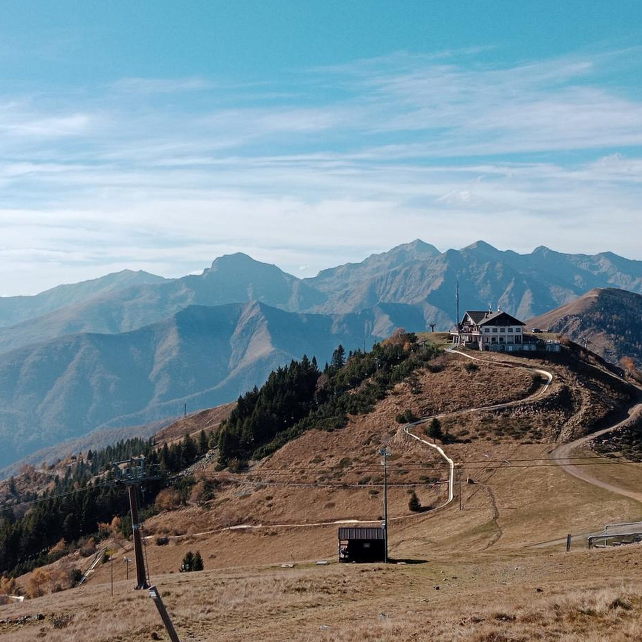
Monte Bo on the ridge that divides Val Sorba from the Meggiana basin, panorama towards the Monte Rosa group and the main groove of Valsesia.
1
0
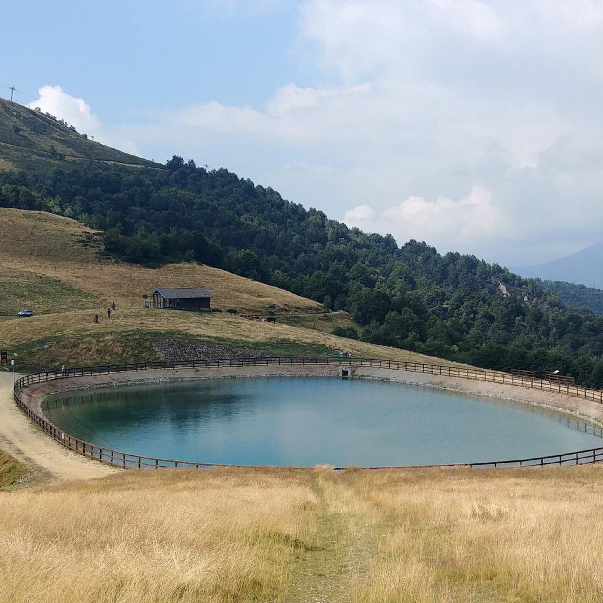
Small natural lake in a quiet area with a sublime view. Great for a stop.
1
1

Monte Bo di Valsesia is located at 2072 meters. Monte Bo is located on the watershed crest that divides Val Sorba from the Meggiana basin. The ridge originates from the Testone delle Tre Alpi, from which the Bo is separated by a collar called Colma Colora or Bocchetta del Bo (2,023 m). From the summit you can admire the Monte Rosa group and Valsesia. On the top, in addition to a statue of the Madonna, there is the trigonometric geodetic point of the IGM called Monte Bo di Valsesia.
1
0

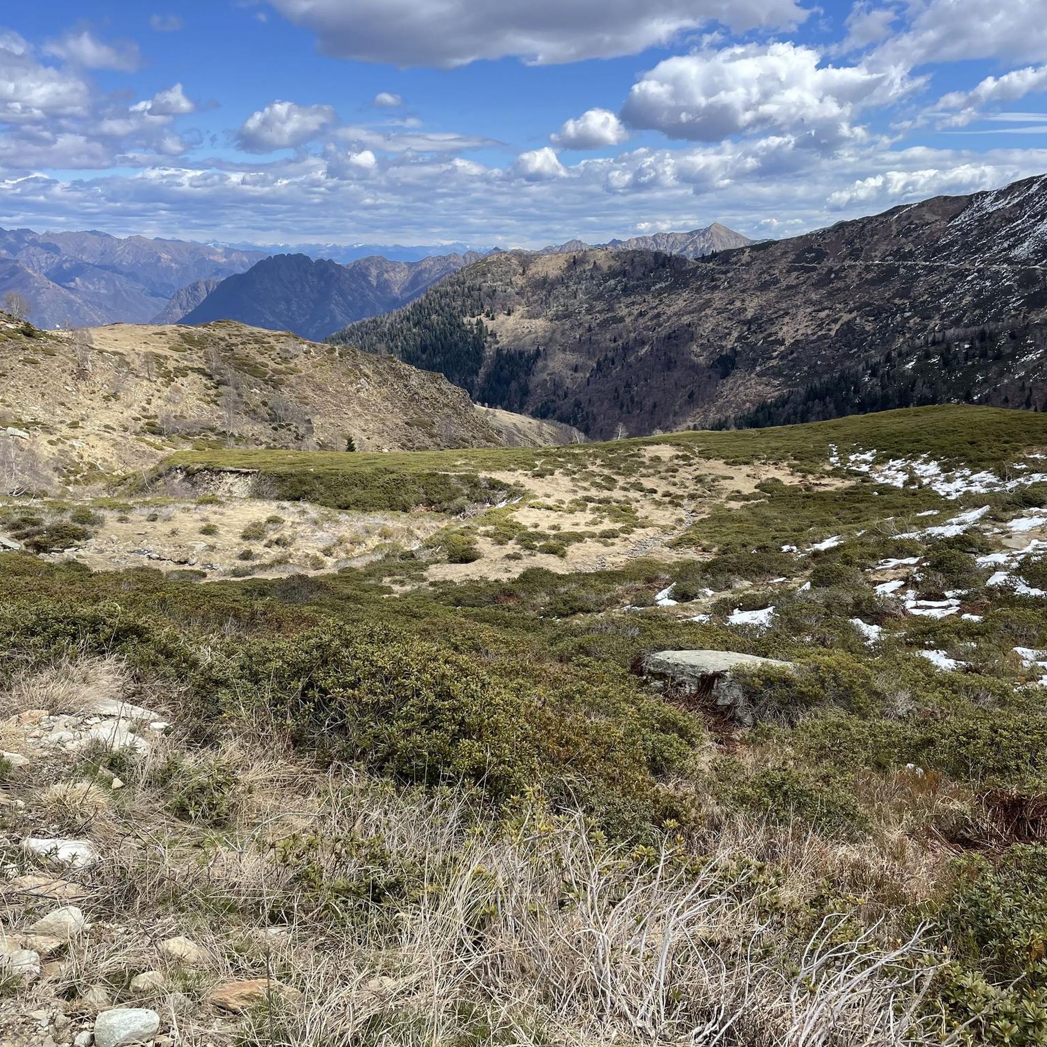
Summit walk with challenging gradients (at least for me).
0
0
Frequently Asked Questions
How many hiking trails are available in Valle San Nicolao?
Valle San Nicolao offers a wide network of hiking opportunities, with over 660 routes recorded on komoot. These trails cater to various skill levels, including around 180 easy routes, 350 moderate routes, and 130 difficult routes, ensuring options for everyone from casual walkers to experienced trekkers.
What kind of terrain can I expect when hiking in Valle San Nicolao?
The terrain in Valle San Nicolao is diverse, featuring a mix of hills and mountains. Elevations range from approximately 338 meters to over 500 meters within the municipality, with the broader region averaging around 783 meters. You'll find paths winding through basins of torrents, forested areas, and unique geological formations like the 'Rive Rosse'.
Are there any easy, family-friendly hikes in Valle San Nicolao?
Yes, there are many easy routes suitable for families. For a gentle exploration of the local countryside, consider the Quaregna Castle Countryside Loop. Another excellent option is the From Cappio di Strona to Tallia di Strona (via M24 trail), which offers a pleasant walk through the area.
Can I bring my dog on the hiking trails in Valle San Nicolao?
Many trails in Valle San Nicolao are suitable for hiking with dogs, especially those through forested areas and along less strenuous paths. It's always advisable to keep your dog on a leash, especially near wildlife or livestock, and to check local regulations for specific routes or protected areas.
Are there any circular hiking routes in the area?
Yes, Valle San Nicolao and the surrounding Biellese region offer several circular routes. The Quaregna Castle Countryside Loop is a great example of a shorter circular hike. For a more challenging option, the Alta Valsessera Ring Trail provides a longer, more demanding circular experience with splendid mountain views.
What natural attractions or landmarks can I see while hiking?
Valle San Nicolao is rich in natural beauty. You can explore unique geological formations like the 'Rive Rosse' with their distinctive reddish rocks. The area also features picturesque water bodies such as the serene Lago degli Angeli and the beautiful Lago Blu, nestled among mountain peaks. For those interested in flora, the Sentiero dei Fiori Selvatici (Wildflower Path) showcases diverse natural vegetation.
Are there any waterfalls to visit on hikes in Valle San Nicolao?
Yes, for those seeking dynamic water attractions, the spectacular Cascate del Rio Selvaggio (Wild River Waterfalls) offer an exciting trek through forested areas. This natural feature provides a refreshing destination for hikers.
Where can I find panoramic views in Valle San Nicolao?
For breathtaking panoramic views, consider challenging hikes to destinations like Rifugio Alpe Verde. For alpinism enthusiasts, the ascent to Picco delle Aquile (Eagle's Peak) offers unforgettable rewards from its summit. The Alta Valsessera Ring Trail also provides splendid views of the mountains and the high Valsessera area.
What are some more challenging hikes for experienced trekkers?
Experienced trekkers can tackle routes like the Monte Bo di Valsesia Summit Trail from Madonna delle Pose, which leads to higher elevations and offers significant ascents. Another demanding option is the Alta Valsessera Ring Trail, a longer route with considerable elevation changes.
Is public transport available to reach trailheads in Valle San Nicolao?
While specific public transport options directly to all trailheads may vary, Valle San Nicolao is a municipality within the Province of Biella. It's recommended to check local bus schedules or regional transport services that connect to the main towns in the area, from which some trailheads might be accessible or a short taxi ride away.
What is the best time of year to go hiking in Valle San Nicolao?
The best time for hiking in Valle San Nicolao is generally from spring through autumn, when the weather is mild and the trails are clear. Spring offers the beauty of wildflowers, while autumn provides vibrant foliage. Summer is also popular, but be prepared for warmer temperatures. Winter hiking is possible on lower elevation trails, but higher routes may require snowshoes or specialized equipment.
What do other hikers say about the trails in Valle San Nicolao?
The hiking trails in Valle San Nicolao are highly rated by the komoot community, with an average score of 4.4 stars from over 2,200 reviews. Hikers often praise the diverse topography, the unpolluted natural setting, and the variety of routes suitable for different skill levels, from easy countryside strolls to challenging summit ascents.
Are there any unique geological features to explore?
Absolutely. The region is renowned for its fascinating geological features, most notably the 'Rive Rosse' (Red Banks). These are characterized by unusual orange-reddish rocks and significant erosion, creating a distinctive, almost 'Martian' landscape. This unique scenery is attributed to ancient granite formations and extensive lava flows.
Most popular routes around Valle San Nicolao
Most popular attractions around Valle San Nicolao

Get inspired with the komoot mobile app


Explore more
Browse the best Hikes in other regions.
