The best running trails around Serole
4.0
(14)
154
runners
27
runs
Jogging around Serole offers a variety of routes through the region's hilly terrain and forested areas. The landscape is characterized by rolling hills and valleys, providing diverse elevation changes for runners. Many jogging routes in Serole traverse rural paths and quiet roads, connecting small villages and natural surroundings. The area provides options for both shorter, less strenuous runs and longer, more challenging trails.
Best jogging routes around Serole
- The most popular jogging route is L'Anello di Merana – loop race…
Last updated: October 11, 2026
2
runners
10.9km
01:39
530m
530m
Hard run. Very good fitness required. Mostly paved surfaces. Suitable for all skill levels.
5.16km
00:42
160m
160m
Moderate run. Good fitness required. Mostly paved surfaces. Suitable for all skill levels.

5.23km
00:42
180m
180m
Moderate run. Good fitness required. Mostly paved surfaces. Suitable for all skill levels.
5.0
(1)
7
runners
5.94km
00:38
110m
120m
Moderate run. Good fitness required. Mostly paved surfaces. Suitable for all skill levels.
4
runners
8.28km
01:00
330m
330m
Hard run. Very good fitness required. Mostly paved surfaces. Suitable for all skill levels.
Get access to more routes and recommendations from other explorers.
Already have an account?
Our route recommendations are based on thousands of hikes, rides, and runs completed by other people on komoot.
Start today with a free account
Your next adventure awaits.
Tips from the Community

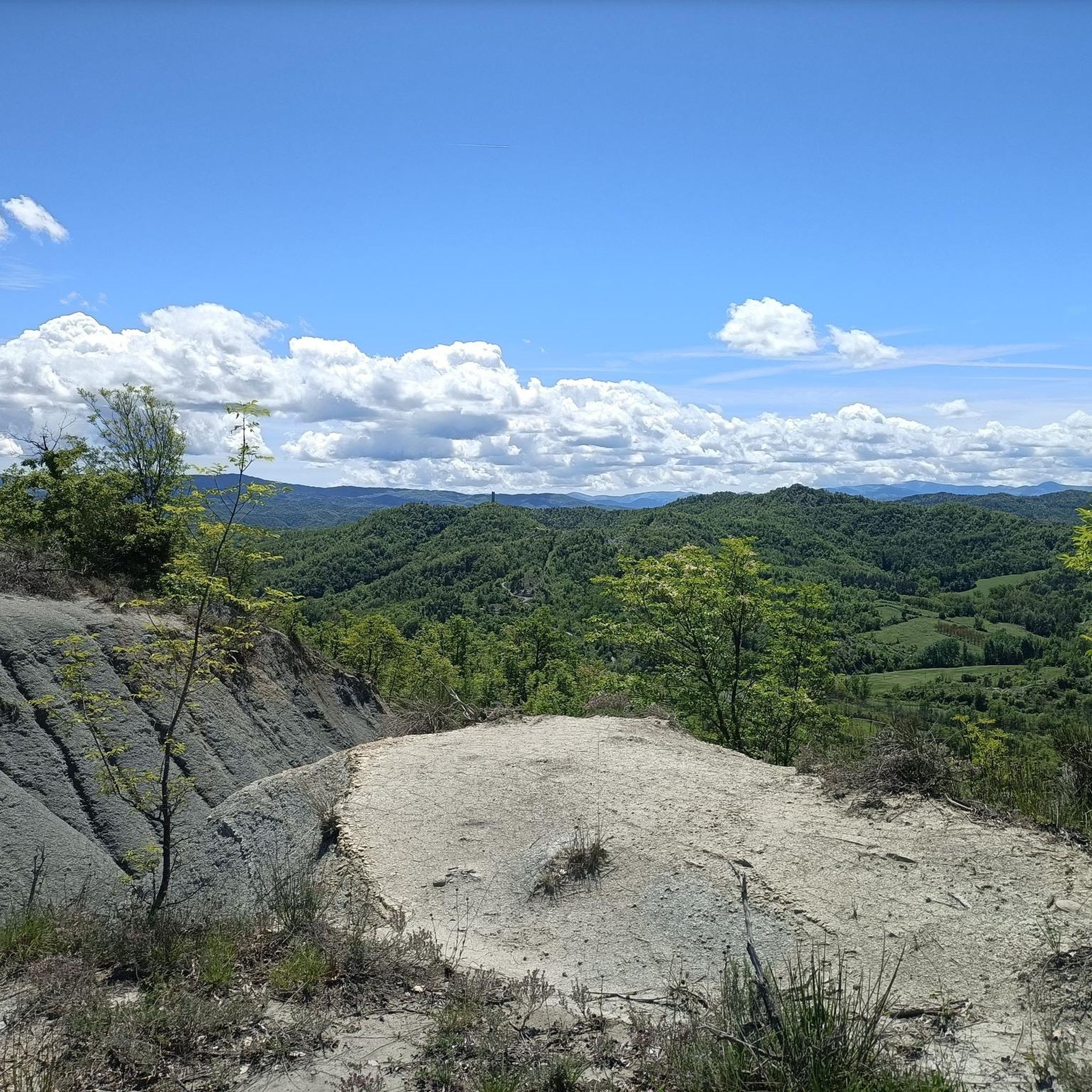
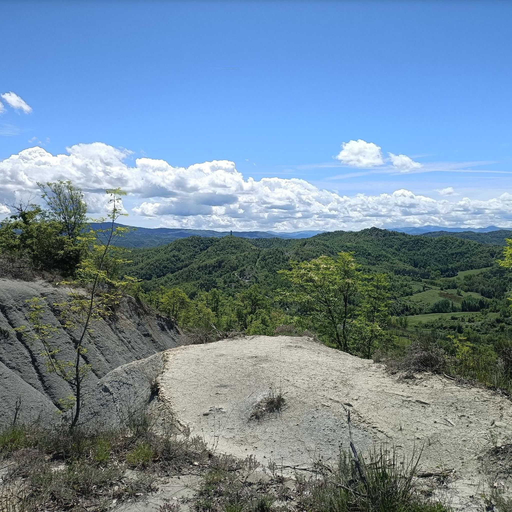
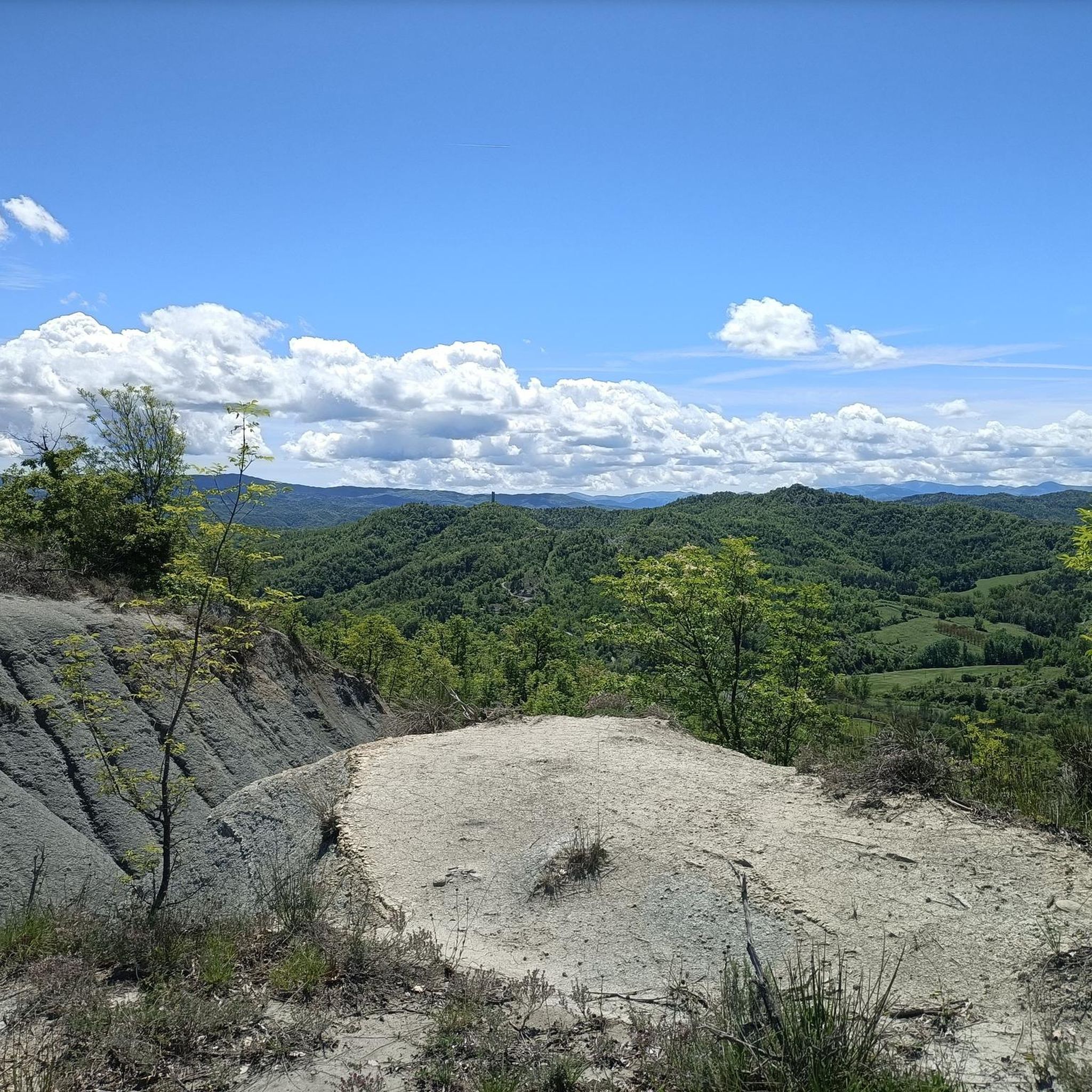
Merana is a small Piedmontese village in the province of Alessandria, on the border with Liguria. The municipality is known for two monuments, both located on the San Fermo hill: the church of Santa Maria Assunta and the Tower of San Fermo.
1
0
The Tower of San Fermo in Merana is located at the top of the hill of the same name and is built with the typical Langa stone. 25 meters high, it dominates the town with its imposing presence.
2
0

Very similar to the Ciciu di Villar, they look like large mushrooms with a stem made of earth and a stone cap
0
0

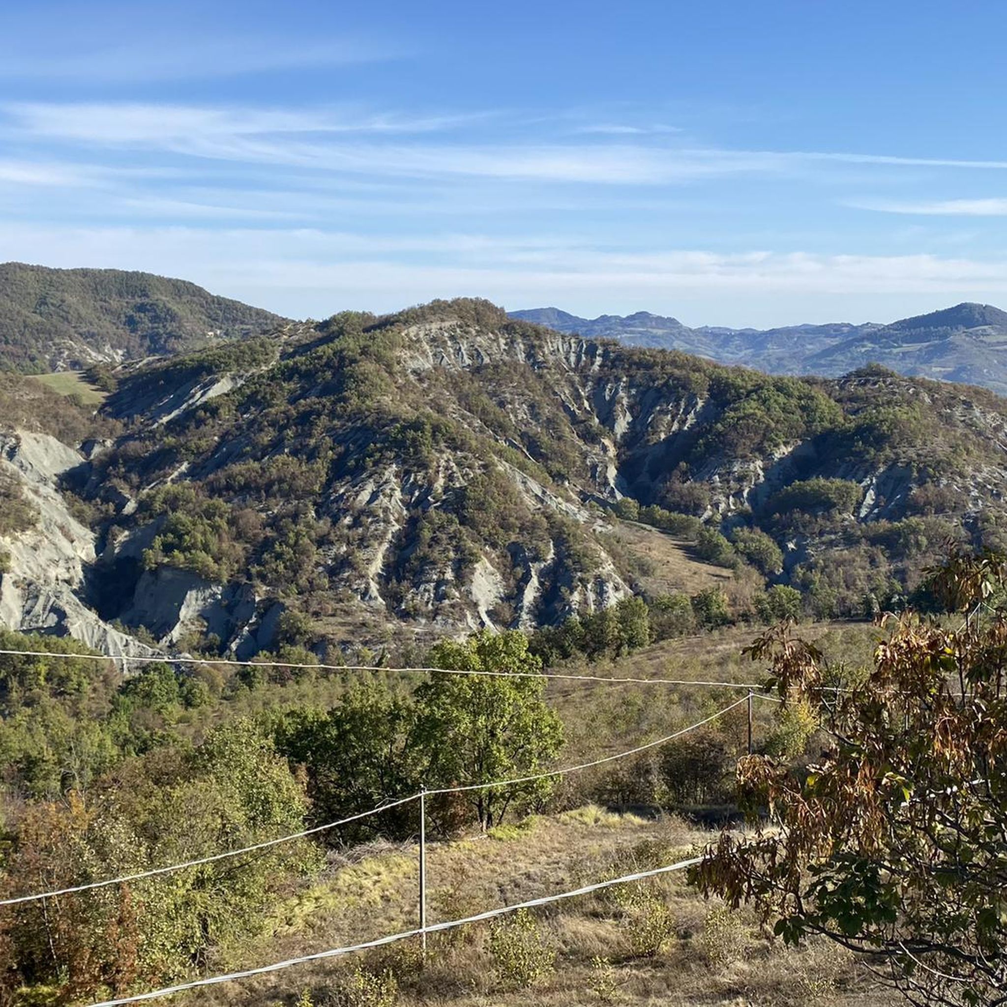
It is a dialect word that originates from the fusion of "muròn" (large face) and riònd (round). Muriòn: big round face. The walls are formed as a result of selective erosion that tends to "preserve" the hardest and most compact sandstone blocks and to "consume" more of the more friable sandy sandstone.
1
0

The charming village of Bergolo is called the "stone town" because all the houses have been renovated using sandstone. The Romanesque chapel of San Sebastiano is a place of great historical and artistic importance: it dates back to the twelfth century and is located on a very panoramic hill over the Bormida and Uzzone valleys.
3
0

Bergolo is a very small town in the province of Cuneo located in the Langhe, on the border between Piedmont and Liguria, on the ridge between the Bormida and Uzzone valleys.
18
0


This evocative castle, which seems to have been taken over by Ireland, dates back to the 13th century and dominates the watershed between the Uzzone valley and the Bormida valley, in an extremely panoramic position that on sunny days allows you to look up to a good portion of the Alps, from the sea to the Monviso up to the more distant massifs of G. paradiso. There are several climbs, all long and satisfying, to reach Prunetto, perhaps the longest, but also the most satisfying, is the one that initially climbs from Cortemilia between dolcetto vineyards, then through woods and wide meadows, passing the municipalities of bergolo and Levice , up to the hill where the castle stands. Another, shorter climb starts from the town of Monesiglio, a beautiful medieval town that is worth a visit. From the nearby town of Gabuti (a hamlet of Camerana) another climb starts that leads to the town of Gottasecca and from here, with some rather hard tears, leads to Prunetto in about eight km of narrow asphalted road. from whichever side you go up, the view is guaranteed. The whole ride, rather tiring, is all on asphalt and for the most part on secondary roads with very little traffic, going through it on the contrary the climbs become less tiring overall.
3
0
Frequently Asked Questions
How many running routes are available around Serole?
There are over 15 dedicated running routes around Serole, offering a variety of experiences for different skill levels. The region's hilly terrain and forested areas provide diverse elevation changes.
What is the typical length and difficulty of running routes in Serole?
Running routes in Serole vary in length and difficulty. You'll find paths ranging from moderate 3.2-mile (5.2 km) loops, like From Merana to the Torre di San Fermo – loop run, to more challenging 6.8-mile (10.9 km) trails with significant elevation gain, such as L'Anello di Merana – loop race.
Are there any circular running routes in Serole?
Yes, many of the running routes in Serole are circular, offering convenient loop options. Examples include I Murion di Merana – loop run and Running loop from Bar Tenuta Squaneto, allowing you to start and finish at the same point.
What do other runners enjoy most about jogging in Serole?
The running routes in Serole are highly rated by the komoot community, with an average score of 4.3 stars from over 10 reviews. Runners often praise the varied terrain, scenic views, and the mix of forested sections and rural paths.
When is the best time of year to go running in Serole?
The best time for running in Serole is typically during spring and autumn when temperatures are mild and the natural scenery is vibrant. Summer can be warm, especially at midday, while winter might bring cooler temperatures and potentially some snow at higher elevations, requiring appropriate gear.
Are there any historical or natural landmarks to see along the running routes?
Yes, several routes offer views of interesting landmarks. For instance, the From Merana to the Torre di San Fermo – loop run passes by a historical tower. The region also features charming settlements like Roccaverano and Cortemilia nearby, which can be explored after your run.
Can I bring my dog on the running trails in Serole?
Many trails in the Serole region are suitable for running with dogs, especially those traversing rural paths and forested areas. However, it's always advisable to keep your dog on a leash, especially near livestock or in populated areas, and to check local regulations for specific routes.
Are there any less-known or 'hidden gem' running routes in Serole?
While popular routes like L'Anello di Merana are well-loved, you can discover quieter paths by exploring the full range of routes on komoot. Consider the Running loop from Roccaverano for a challenging run through picturesque landscapes that might offer a more secluded experience.
What kind of terrain can I expect when running in Serole?
The terrain around Serole is characterized by rolling hills, forested sections, and rural paths. You'll encounter a mix of surfaces, including dirt trails, gravel roads, and quiet asphalt sections, providing a varied and engaging running experience.
Are there options for more challenging runs with significant elevation gain?
Absolutely. Serole's hilly landscape is ideal for runners seeking a challenge. Routes like L'Anello di Merana – loop race feature significant elevation gain, making them suitable for experienced runners looking for a demanding workout.
What are some notable attractions near Serole that I can visit after my run?
Beyond the trails, Serole is close to several interesting attractions. You could visit the charming settlement of Roccaverano, or explore historical sites like Cravanzana Village and Castle. For those interested in cycling history, there's also The Champions' Climb "Marco Pantani" nearby.
Most popular attractions around Serole

Get inspired with the komoot mobile app


Explore more
Browse the best Running Trails & Routes in other regions.
