The best walks and hikes around Montechiaro D'Asti
4.4
(293)
1,001
hikers
177
hikes
Hiking around Montechiaro D'Asti offers routes through Italy's Piedmont region, characterized by rolling hills and valleys. The landscape is dominated by vineyards of the Asti DOCG region, which are often integrated into hiking routes. The area provides panoramic views of the surrounding Monferrato area, a UNESCO World Heritage site. Trails also connect charming hilltop villages and historic sites.
Best hiking trails around Montechiaro D'Asti
- The most popular hiking route is Montegrosso d'Asti countryside trail (via Route 301), a 14.0…
Last updated: October 4, 2026
22.6km
06:08
320m
320m
Hard hike. Very good fitness required. Easily-accessible paths. Suitable for all skill levels.
8.38km
02:24
210m
210m
Moderate hike. Good fitness required. Easily-accessible paths. Suitable for all skill levels.

10.4km
02:54
200m
200m
Moderate hike. Good fitness required. Easily-accessible paths. Suitable for all skill levels.
4.4
(7)
19
hikers
8.36km
02:20
170m
170m
Moderate hike. Good fitness required. Easily-accessible paths. Suitable for all skill levels.
4.0
(1)
7
hikers
Moderate hike. Good fitness required. Easily-accessible paths. Suitable for all skill levels.
Get access to more routes and recommendations from other explorers.
Already have an account?
Our route recommendations are based on thousands of hikes, rides, and runs completed by other people on komoot.
Start today with a free account
Your next adventure awaits.
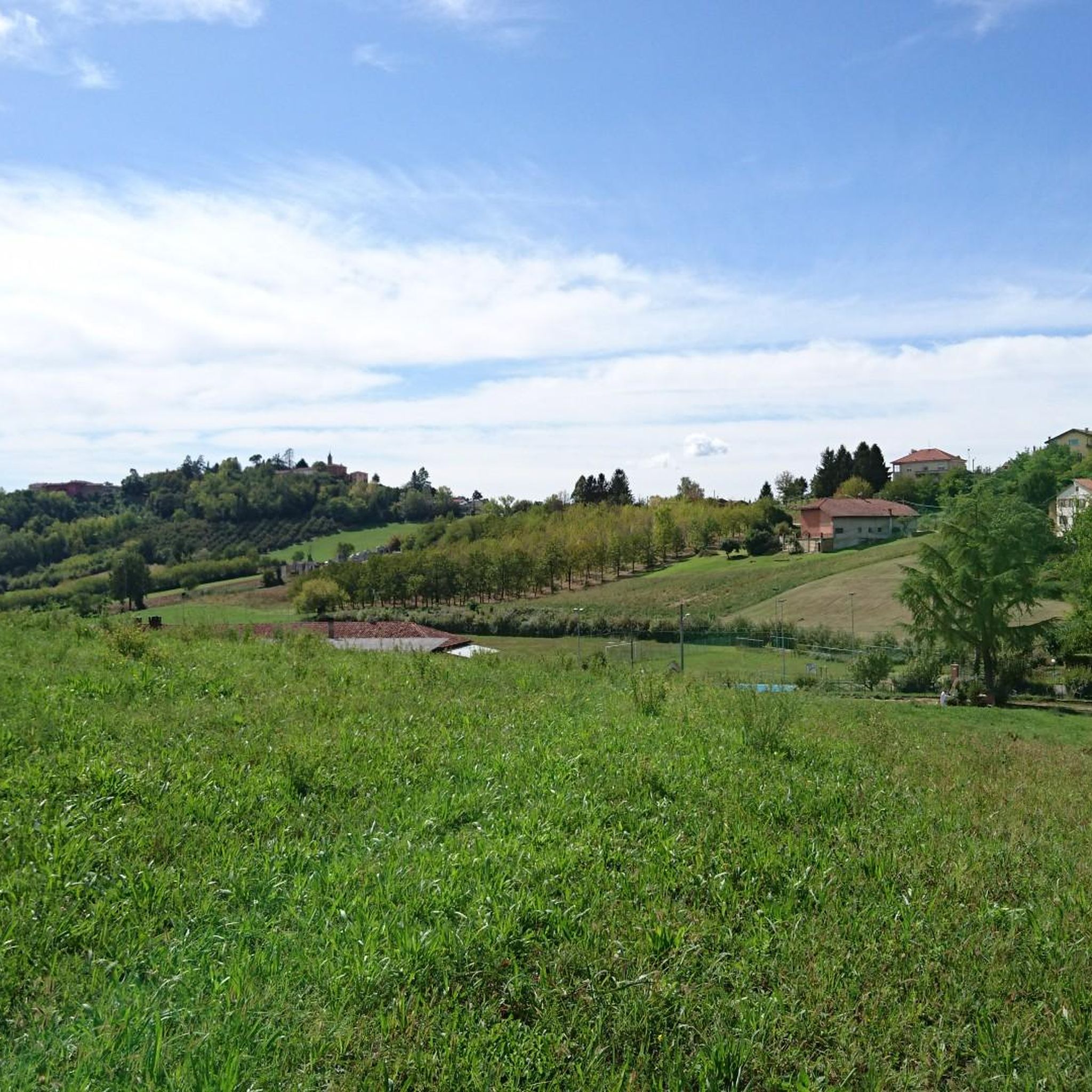
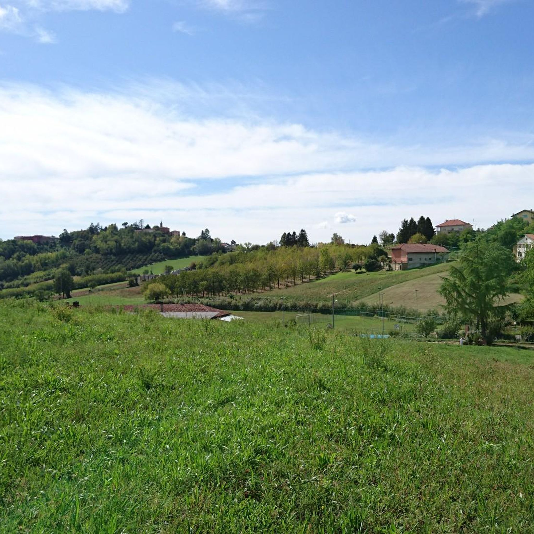
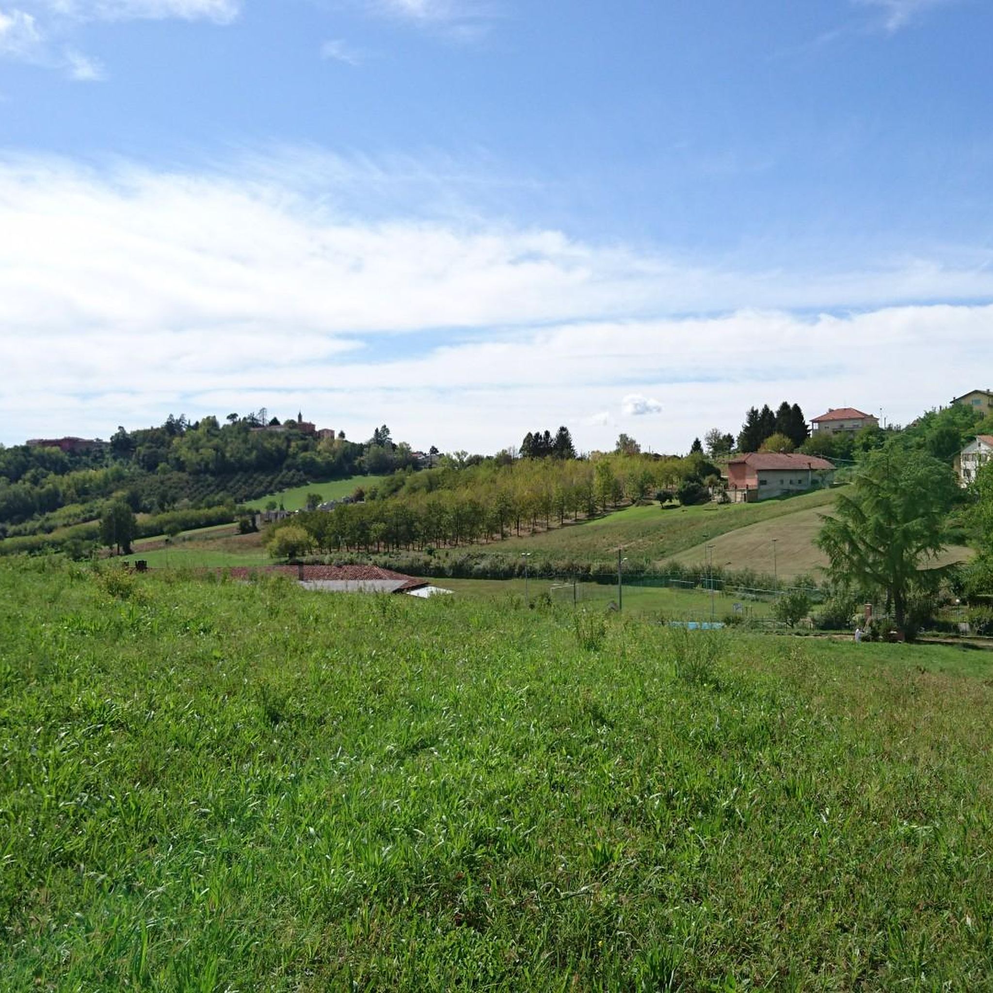
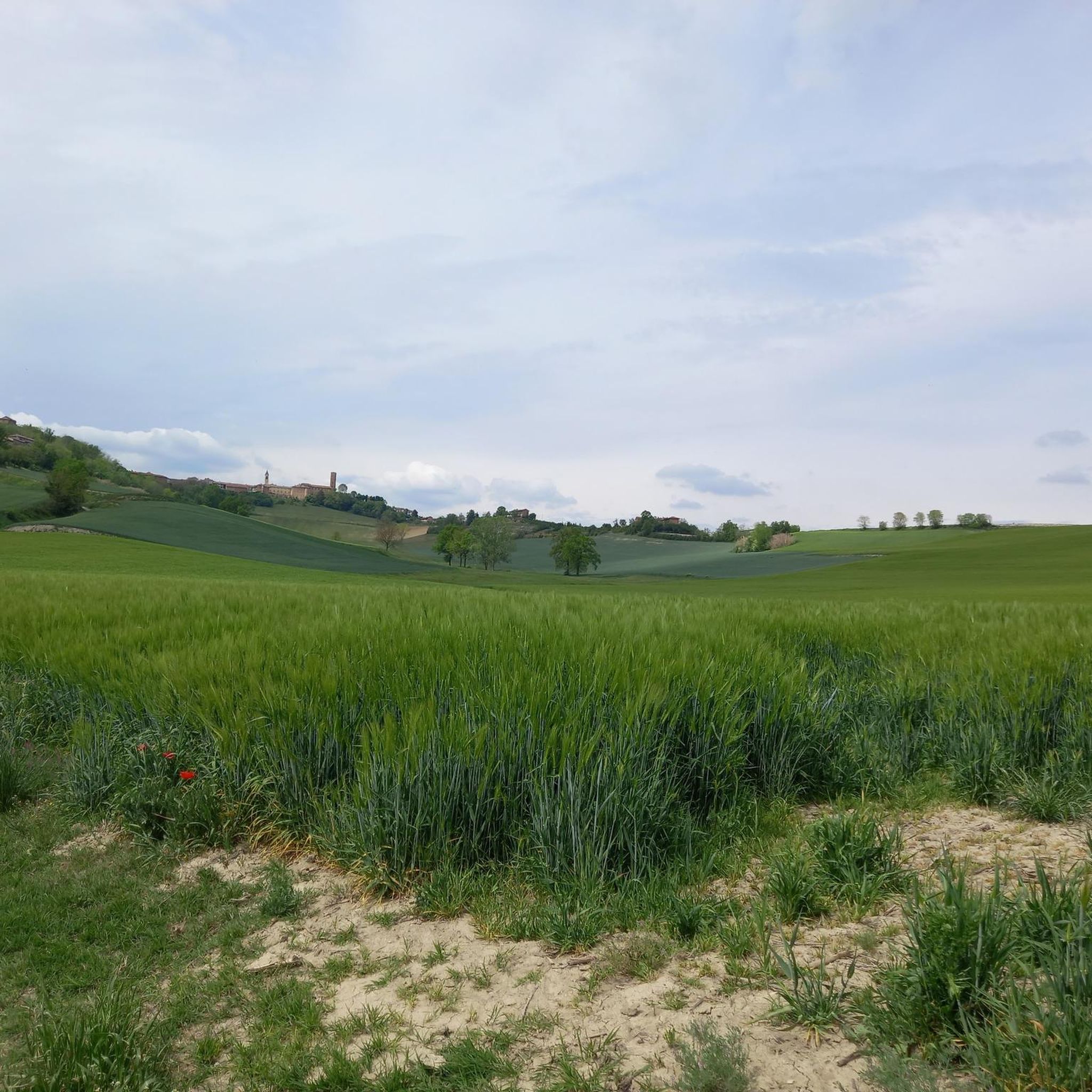

Tips from the Community

The church of Saints Nazario and Celso is a church located about two kilometers from Montechiaro d'Asti, in Piedmont, on the slopes of a green hill (the "Bric San Nazario"), surrounded by trees all around except for the facade. It is characterized by a tall bell tower and the chromatic effect given by the alternating bands of brick and sandstone. It constitutes an important testimony of the Romanesque architecture that developed in the 12th century in the Monferrato astigiano.
0
0

Frequently Asked Questions
What kind of terrain can I expect on hiking trails around Montechiaro D'Asti?
The hiking trails around Montechiaro D'Asti are primarily characterized by rolling hills and valleys, often traversing through extensive vineyards of the Asti DOCG region. You'll find a mix of cultivated land, woods, and fields. The elevation changes are generally gentle, with hills rarely exceeding 400 meters, making for a scenic and manageable hiking experience. The region's unique marly calcareous and sandy soils contribute to the distinct landscape.
Are there many hiking trails available in Montechiaro D'Asti?
Yes, Montechiaro D'Asti offers a comprehensive network of trails. There are over 160 hiking routes available, catering to various fitness levels. These include 39 easy routes, 109 moderate routes, and 12 more challenging options.
What are some notable landmarks or viewpoints I can discover while hiking in the area?
Hiking in Montechiaro D'Asti offers opportunities to explore historical and scenic points of interest. You can visit Romanesque churches like the Church of Saints Nazarius and Celsus or the Viatosto Church, which also provides views of the Asti hills. The area is dotted with charming villages and historic centers, and from elevated points, you can enjoy panoramic views of the Monferrato area, a UNESCO World Heritage site, and even glimpses of the Alps on clear days.
Are there any family-friendly hiking options in Montechiaro D'Asti?
Yes, Montechiaro D'Asti offers several family-friendly hiking options. Many trails are suitable for beginners and families, featuring gentle gradients and picturesque scenery. For example, the Montechiaro d'Asti town center loop is a moderate 8.2 km route that allows you to explore the historic village without excessive difficulty.
What do other hikers enjoy most about the trails in Montechiaro D'Asti?
The hiking experience in Montechiaro D'Asti is highly regarded by the komoot community, with an average rating of 4.4 stars from over 230 reviews. Hikers often praise the diverse landscapes, which combine rolling hills, vineyards, and charming villages. The well-maintained trails and the blend of natural beauty with historical attractions are frequently highlighted as key enjoyable aspects.
Is Montechiaro D'Asti a good destination for dog-friendly hikes?
Montechiaro D'Asti is generally welcoming for dog owners. The region's extensive network of trails, often passing through vineyards and rural landscapes, provides ample space for walks with your dog. It's always advisable to keep your dog on a leash, especially when passing through cultivated areas or near livestock, and to carry waste bags. Specific rules may vary by trail, but most natural paths are suitable.
What is the best time of year to go hiking in Montechiaro D'Asti?
The best time to visit Montechiaro D'Asti for hiking is typically during the spring (April to June) and autumn (September to October). During these seasons, the weather is mild and pleasant, ideal for outdoor activities. Spring brings blooming wildflowers and lush green landscapes, while autumn offers stunning colors in the vineyards and comfortable temperatures. Summer can be warm, but early mornings or late afternoons are still enjoyable.
Are there any circular hiking routes available?
Yes, there are several circular hiking routes around Montechiaro D'Asti, which are popular for their convenience. An example is the Cunico to Zingari Loop, a moderate 8.4 km path that winds through the region's characteristic rolling hills and vineyards, bringing you back to your starting point.
Are there any permits required for hiking in Montechiaro D'Asti?
Generally, no specific permits are required for hiking on the public trails around Montechiaro D'Asti. The trails are freely accessible. However, if you plan to visit private vineyards or estates, it's always best to check for any specific access rules or guided tour requirements.
Can I find accommodation or places to eat near the hiking trails?
Yes, Montechiaro D'Asti and the surrounding charming villages offer various options for accommodation, cafes, and restaurants. You'll find agriturismi (farm stays), B&Bs, and local eateries that provide authentic Piedmontese cuisine and wines. Many of these are conveniently located within or near the historic centers of the villages, making them accessible after a day of hiking.
Are there any challenging hikes for experienced hikers?
While many trails are moderate, Montechiaro D'Asti does offer options for more experienced hikers seeking a challenge. For instance, the Montegrosso d'Asti countryside trail (via Route 301) is a difficult 22.6 km route that takes approximately 6 hours to complete, traversing varied terrain with significant elevation changes.
What kind of historical sites can I see on the trails?
The region is rich in Romanesque architecture and historic sites. You can encounter ancient churches like the Pieve di San Nazario e Celso, a Romanesque masterpiece, or the historic Santa Maria Assunta in Piesenzana. The hillsides are also dotted with historic ruins and charming hilltop villages with well-preserved medieval centers, adding a cultural dimension to your hike. For more insights into the region's Romanesque heritage, you can visit visitlmr.it.
Most popular routes around Montechiaro D'Asti
Most popular attractions around Montechiaro D'Asti

Get inspired with the komoot mobile app


Explore more
Browse the best Hikes in other regions.
