The best walks and hikes around Montegrosso D'Asti
4.3
(656)
2,867
hikers
23
hikes
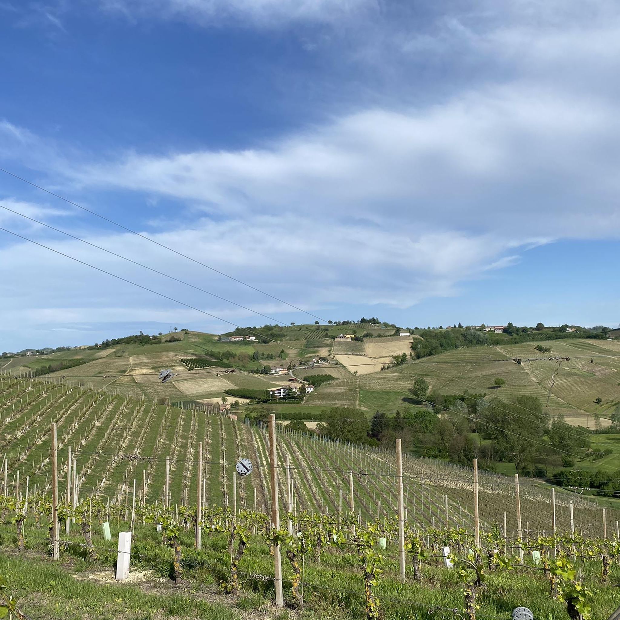
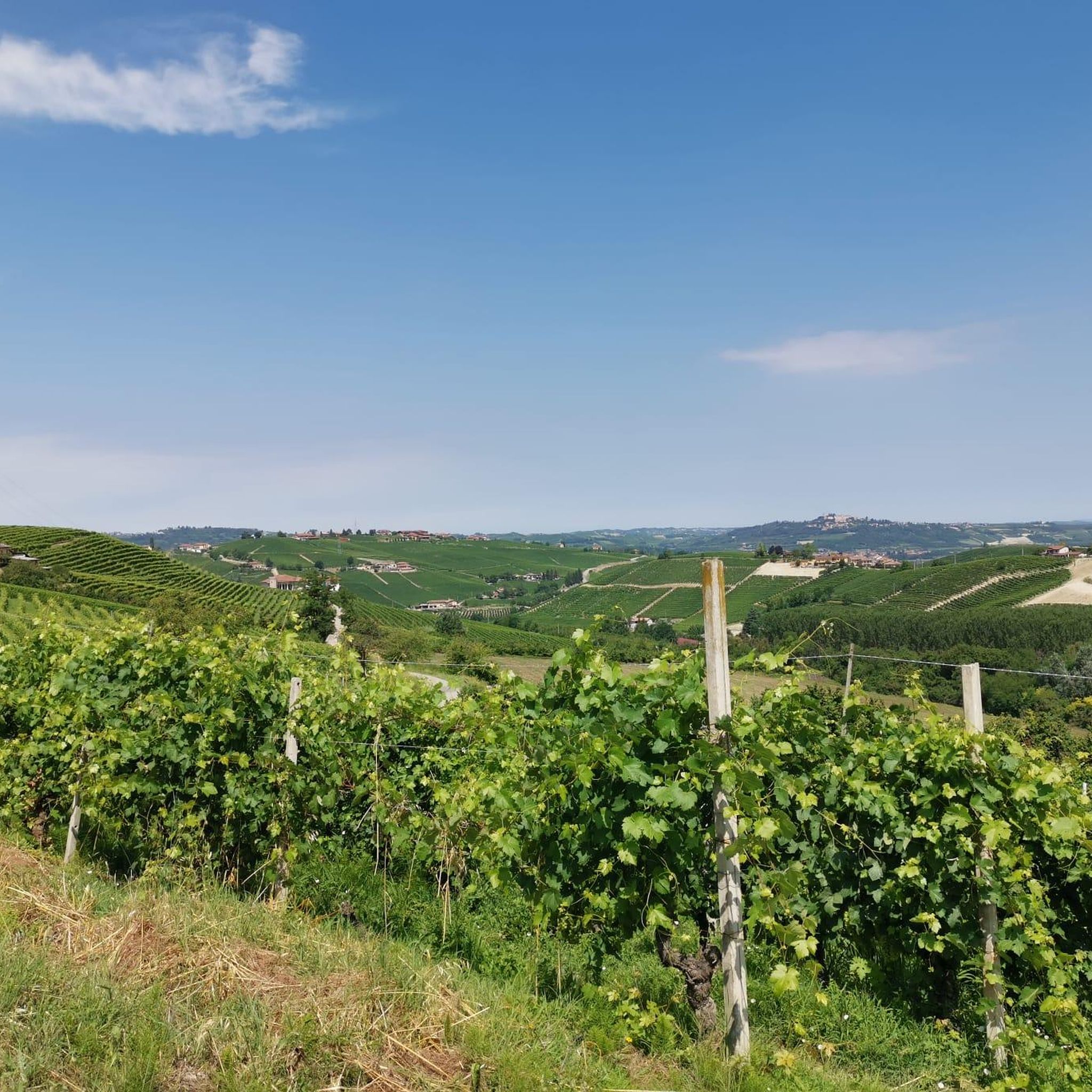
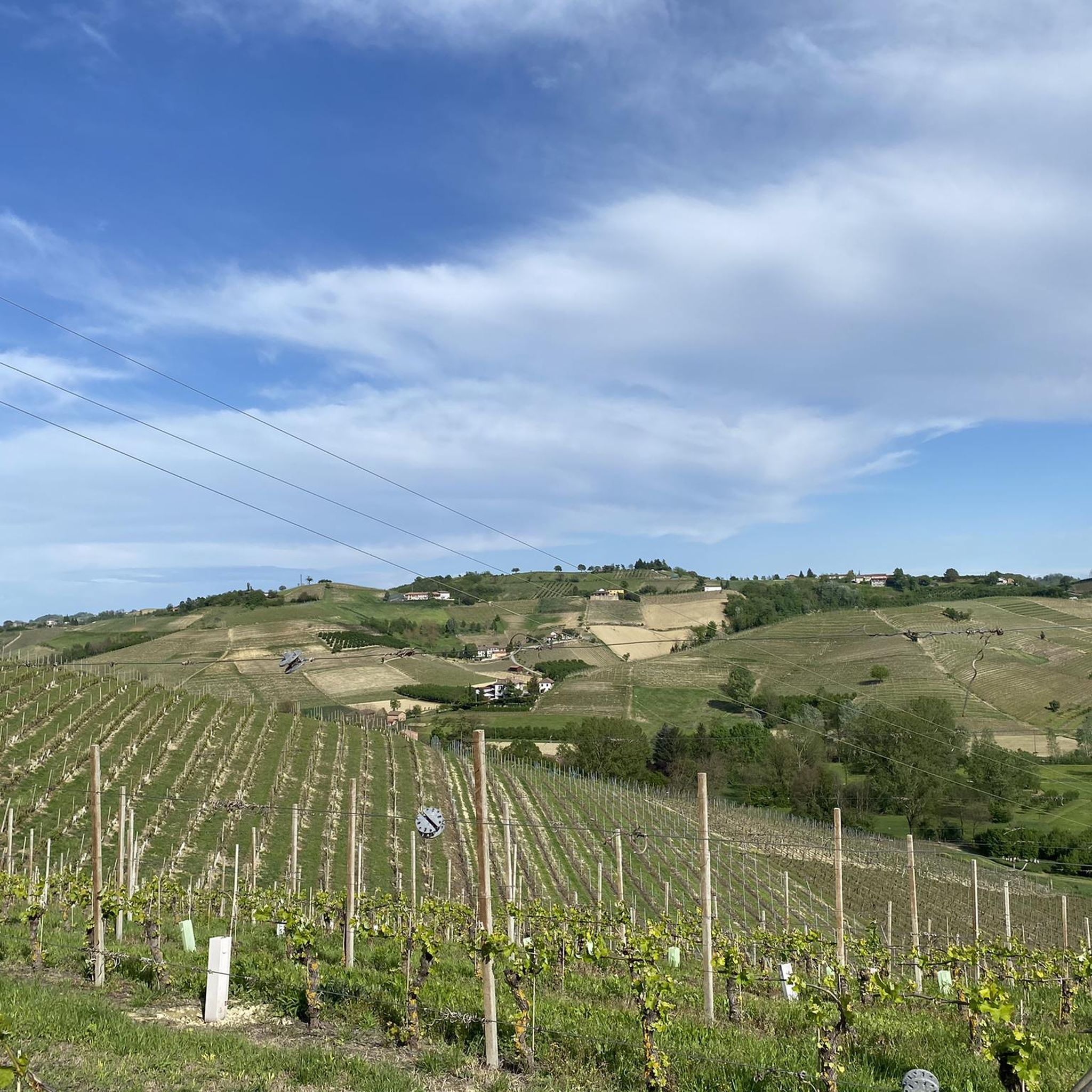
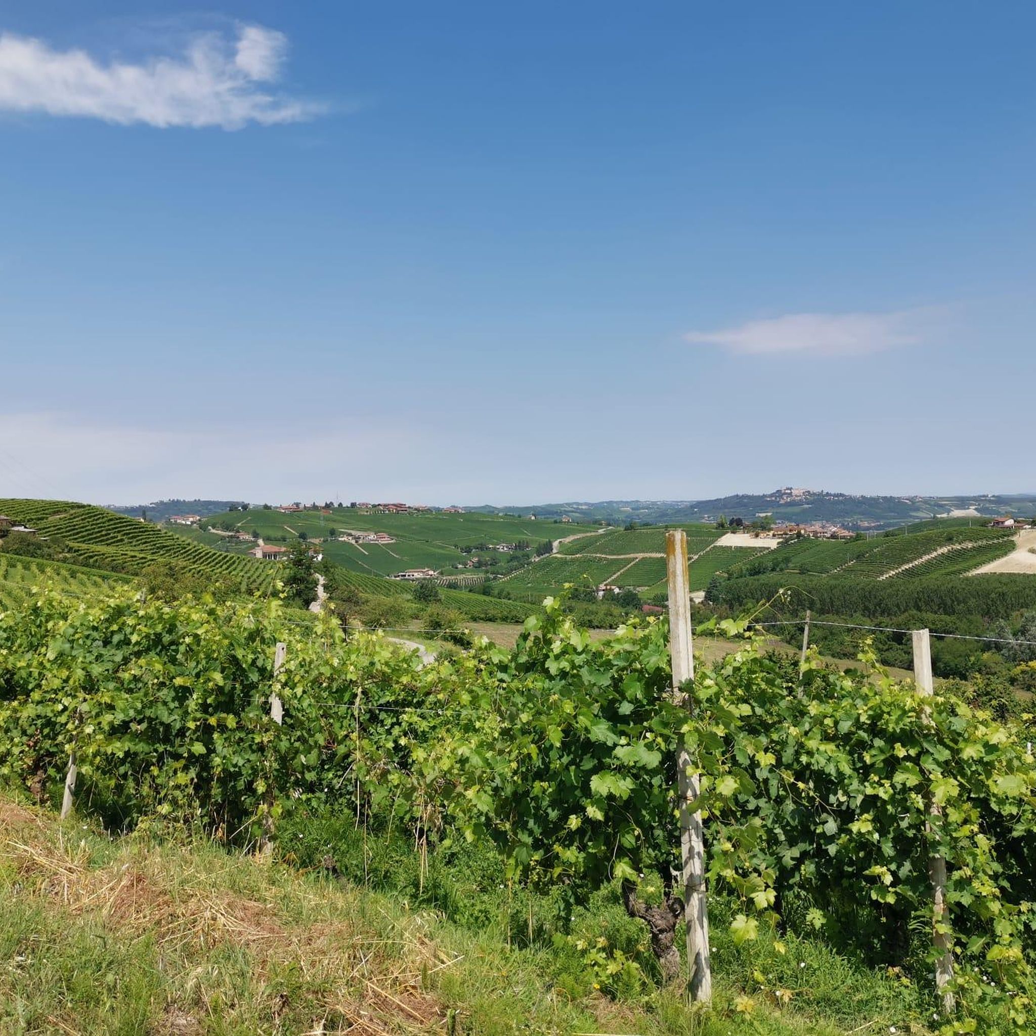
Hiking around Montegrosso D'Asti offers routes through gently undulating hills, extensive vineyards, and tranquil wooded areas. The region, part of Piedmont's wine country, is characterized by its diverse terrain, including the picturesque Val Tiglione. Hikers can experience a blend of natural beauty and historical sites, with views extending to the distant Alps on clear days. This area provides a peaceful outdoor experience away from mass tourism.
Best hiking trails around Montegrosso D'Asti
- The most popular hiking route is From Montegrosso…
Last updated: October 13, 2026
1
hikers
28.1km
07:55
580m
580m
Hard hike. Very good fitness required. Easily-accessible paths. Suitable for all skill levels.
4.7
(3)
10
hikers
8.13km
02:17
160m
160m
Moderate hike. Good fitness required. Easily-accessible paths. Suitable for all skill levels.

3.7
(3)
8
hikers
8.93km
02:32
200m
200m
Moderate hike. Good fitness required. Easily-accessible paths. Suitable for all skill levels.
10
hikers
3.88km
01:05
80m
80m
Easy hike. Great for any fitness level. Easily-accessible paths. Suitable for all skill levels.
4.8
(4)
5
hikers
4.07km
01:08
70m
70m
Easy hike. Great for any fitness level. Easily-accessible paths. Suitable for all skill levels.
Get access to more routes and recommendations from other explorers.
Already have an account?
Our route recommendations are based on thousands of hikes, rides, and runs completed by other people on komoot.
Start today with a free account
Your next adventure awaits.
Tips from the Community

A beautiful place. One of those "of the heart" for me. The viewpoint of Piazza Vittorio Emanuele II on the Val Tiglione and the surrounding towns clearly visible on clear days. There is a charging station for e-bikes and wooden tables with benches on site, perfect for taking a break. Magnificent!
0
0
The village church. Very beautiful and in neo-Gothic style visible thanks to the coloring and the bell tower even from afar. Close to the SP39 Costigliole/Vallumida.
0
0
Strada Lazzaretto is a very beautiful road that leads from Repergo to San Michele di Costigliole cutting off Gorra, Tana and Santo Stefano Canetto. Interesting and with zero traffic. Try it!
0
0
From Montegrosso center you look towards Agliano. What wonderful places to cycle!
0
0

one of the many churches in the various hamlets of costogliole, an ideal place to stop even for a short break
0
0
Among the vineyards between the municipalities of Isola d'Asti and Montegrosso is this newsstand. It can be reached by taking the paved road Repergo-Costigliole or by taking a path from Bric Tana. Roads in excellent asphalt conditions and excellent for peaceful pedaling away from traffic.
2
0
A nice little corner of Monferrato at the end of the path that starts in Repergo. You are then on the SP64 which leads, among others, to the beautiful village of Santo Stefano Canetto, another "place of my heart".
2
0
Santo Stefano Canetto is truly a little gem: peaceful, with little traffic and surrounded by wonderful hills. The church with a neo-Gothic facade is beautiful.
0
0
Frequently Asked Questions
What kind of terrain can I expect on hikes around Montegrosso D'Asti?
Hiking in Montegrosso D'Asti primarily involves gently undulating hills, extensive vineyards, and tranquil wooded areas. You'll traverse diverse landscapes, from sun-drenched vineyards to oak groves and hazelnut orchards, often on serene country roads. On clear days, you can enjoy expansive vistas stretching to the Langhe and Roero regions, and even the distant Alps.
Are there easy hiking options for beginners or casual walkers?
Yes, Montegrosso D'Asti offers a good selection of easy trails. Out of over 300 routes, 135 are rated as easy. An example is the View of Mongardino – Vigliano Caffè loop from Asti, which is a 3.7-mile (5.9 km) trail leading through vineyard landscapes and small hills, typically completed in about 1 hour 40 minutes.
What historical landmarks or attractions can I see while hiking?
The trails often lead to numerous historic villages and medieval castles. Notable examples include the impressive Costigliole d'Asti Castle and the San Martino Alfieri Castle. You can also discover ancient sanctuaries and Romanesque parish churches, offering glimpses into the region's rich past.
Are there any good viewpoints along the hiking trails?
Yes, Montegrosso D'Asti boasts several prominent viewpoints. Piazza Vittorio Emanuele II and "Punto panoramico chiesetta" are known for providing breathtaking panoramic vistas of the surrounding hilly terrain, vineyards, and historic settlements.
What is the best time of year to go hiking in Montegrosso D'Asti?
The region is beautiful throughout much of the year. Spring and autumn are particularly pleasant for hiking, with mild temperatures and vibrant colors in the vineyards. Summer offers warm, sunny days, perfect for enjoying the landscapes, though it can be quite warm. On clear days, you might even spot the distant Alps.
Are there any circular hiking routes available?
Yes, there are several circular routes. For example, the Hiking loop from Santo Stefano Canetto is a moderate 6.9-mile (11.1 km) trail. Another option is the Rest Stop with Drinks loop from Castelnuovo Calcea, a moderate 7.6-mile (12.2 km) route.
Can I bring my dog on the hiking trails in Montegrosso D'Asti?
Many trails in the Montegrosso D'Asti area are suitable for dogs, especially those winding through vineyards and wooded areas. It's always recommended to keep your dog on a leash, especially near vineyards or livestock, and to carry water for both yourself and your pet.
Are there family-friendly hiking options in the area?
Absolutely. With 135 easy routes, there are plenty of options suitable for families. These trails often feature gentle slopes and pass through charming landscapes, making them enjoyable for all ages. Consider shorter, well-maintained paths through vineyards for a pleasant family outing.
What do other hikers say about the trails in Montegrosso D'Asti?
The routes in Montegrosso D'Asti are highly rated by the komoot community, with an average score of 4.3 stars from over 400 reviews. Hikers often praise the peaceful atmosphere, the stunning vineyard vistas, and the blend of natural beauty with historical sites.
How long do hikes typically take in Montegrosso D'Asti?
Hikes vary greatly in length and duration. You can find short, easy strolls like the View of Mongardino – Vigliano Caffè loop from Asti, which takes about 1 hour 40 minutes. Longer, more challenging routes, such as the From Montegrosso d'Asti to Costigliole d'Asti (Trail 310), can take around 8 hours to complete.
Are there any unique natural features to explore?
Beyond the rolling hills and vineyards, a unique natural and historical point of interest is the Delfino Fossile archaeological site, which offers a tangible connection to the area's ancient geological history. The picturesque Val Tiglione is also renowned for its scenic beauty and viticultural significance.
Is public transport available to reach trailheads?
While specific public transport details for every trailhead can vary, Montegrosso D'Asti is a well-connected town. It's advisable to check local bus schedules or regional train services to nearby towns like Asti, and then plan your route to the desired trailhead. Some routes may require a short taxi ride from the nearest public transport stop.
Most popular routes around Montegrosso D'Asti
Most popular attractions around Montegrosso D'Asti

Get inspired with the komoot mobile app


Explore more
Browse the best Hikes in other regions.
