The best road cycling routes around Armùngia/Armungia
5.0
(2)
25
riders
7
rides
Road cycling routes around Armùngia/Armungia offer a diverse landscape for cyclists, from coastal roads to inland paths through mountainous and forested areas. The region, part of Sardinia, is characterized by a mix of hills and higher elevations, providing varied terrain. Cyclists can expect well-paved roads and a mild climate, making it suitable for exploring the natural environment.
Best road cycling routes around Armùngia/Armungia
- The most popular road cycling route is Porto Corallino – Porto Tramatzu loop from Ballau/Ballao, a…
Last updated: July 8, 2026
5.0
(1)
9
riders
100km
05:28
1,970m
1,970m
Hard road ride. Very good fitness required. Mostly well-paved surfaces and easy to ride.
7
riders
62.5km
03:29
1,340m
1,340m
Hard road ride. Very good fitness required. Some segments of this route may be unpaved and difficult to ride.

Sign up for free
5.0
(1)
5
riders
Moderate road ride. Good fitness required. Some segments of this route may be unpaved and difficult to ride.
96.8km
05:20
2,080m
2,080m
Hard road ride. Very good fitness required. Mostly well-paved surfaces and easy to ride.
4
riders
73.2km
03:52
1,380m
1,380m
Hard road ride. Very good fitness required. Mostly well-paved surfaces and easy to ride.
Get access to more routes and recommendations from other explorers.
Sign up for free
Already have an account?
Our route recommendations are based on thousands of hikes, rides, and runs completed by other people on komoot.
Start today with a free account
Your next adventure awaits.
Login or Signup
Popular around Armùngia/Armungia
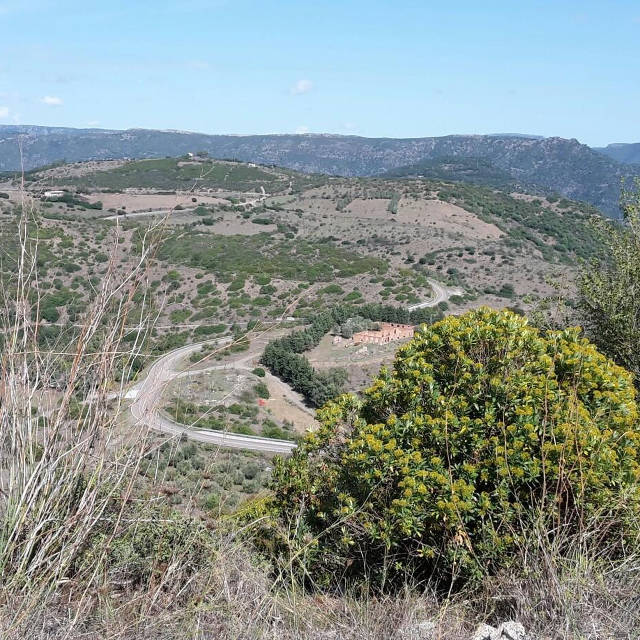
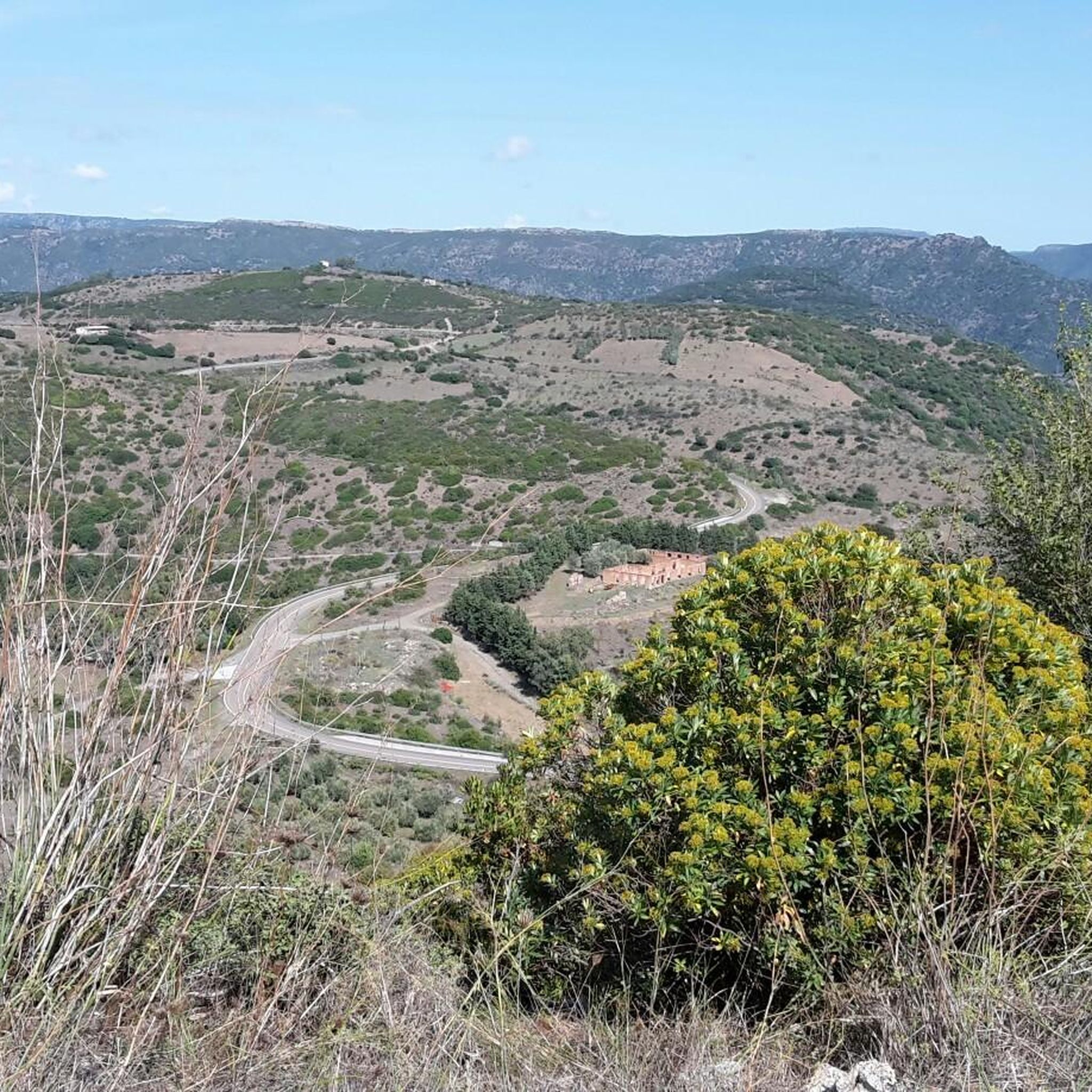
Tips from the Community

Small town decorated with many colorful murals
1
0
The statuette of the Mother Goddess Turriga was found by chance by a farmer in 1935 in the territory of Senorbì, between Ortacesus and Selegas, by a farmer who kept it for years on his fireplace. It was then noticed by the village doctor, and that is how it arrived at the Archaeological Museum of Cagliari. https://www.preistoriainitalia.it/scheda/dea-madre-di-turriga-senorbi-ca/
1
0

It is one of the most famous, interesting, and intact of the approximately thirty Nuragic well-temples where the water cult was practiced: the name "covered well" itself expresses its function and excellent state of preservation. Three kilometers from Ballao, a town in the historic region of Gerrei – along Provincial Road 13, which leads from the town to Escalaplano – lies the sacred well of Funtana Coberta, nestled in a green valley floor, enclosed to the east by a small hill. The entire building, ten and a half meters long, was constructed from irregular, roughly hewn limestone blocks of uniform thickness, carved on the exposed side. The floor plan is unusual: two wings of different lengths create an atrium whose original flooring is still visible. As is common with sacred wells, the monument is divided into three parts: on the surface, the small outdoor atrium (or vestibule), rectangular and almost two meters wide; an access staircase with twelve narrow steps, well crafted and covered with a stepped ceiling composed of twelve sloping architraves that fit into the walls and echo the shape of the underlying steps leading down to the floor of the tholos chamber; more precisely, the tholos chamber was built in the shape of a small nuragic: it is a semi-subterranean chamber with an almost circular plan, three and a half meters wide at the bottom and covered by a false dome five and a half meters high. Noteworthy is the construction of the dome, surrounded by a drum wall, to which a projecting body is attached that delimits the access staircase and the two wings of the atrium in antis. Also noteworthy is the slight curvature of the walls, almost as if to 'invite' the faithful into the interior of the temple. The floor is made of limestone slabs carefully arranged in a radial pattern. Here is the well shaft, dug into the rock, five meters deep, and covered with 36 rows of stones, with an average opening of one meter wide, from which the water spring flows. Source and further information: https://www.sardegnaturismo.it/it/esplora/funtana-coberta
0
0

This is a very popular place for locals. In August, the patron saint is celebrated.
0
0

A very large and striking radio telescope!
1
0
Here are many remains of masonry
1
0

The Pranu Muttedu Park takes the nickname "Sardinian Stonehenge" because it seems to date back to an age before the renowned British monument. The archaeological site is among the largest in Sardinia.
2
0
Frequently Asked Questions
What types of road cycling routes can I expect around Armùngia/Armungia?
The region offers a diverse range of road cycling experiences, from scenic coastal roads with breathtaking sea views to challenging inland routes that wind through mountainous and forested areas. You'll find a mix of hills and higher elevations, providing varied terrain for different preferences.
Are there road cycling routes suitable for beginners or those with moderate fitness?
Yes, while many routes in the area are challenging, there are options for moderate fitness levels. For example, the Porto Corallino – Porto Tramatzu loop from Ballau/Ballao is a moderate 47.5-mile (76.5 km) route with an elevation gain of over 2,600 feet, typically completed in about 3 hours 32 minutes.
What are some challenging road cycling routes for experienced riders?
Experienced cyclists seeking demanding climbs will find several difficult routes. The Flumendosa River – Viewpoint Over Lake Flumendosa loop from Ballau/Ballao is a difficult 61.7-mile (99.2 km) path with significant elevation gain through inland landscapes. Another challenging option is the Fountain and staging area – Mandas Town Entrance Marker loop from Is Alinos, which covers 88.8 miles (142.8 km) with over 1,500 meters of elevation gain.
What kind of natural features and landscapes will I encounter on these routes?
You'll experience varied topography, including hills, mountains, and forested regions. The area is close to the Sette Fratelli Regional Park, known for its rugged reliefs, gorges, and diverse wildlife like the Sardinian deer. Many routes also offer panoramic views, especially along coastal sections.
Are there any notable attractions or landmarks along the road cycling routes?
Yes, several routes pass by interesting sites. For instance, the Scenic Road to Villasalto – Mining Cart in Villasalto loop from Ballau/Ballao leads past the Mining Cart in Villasalto. Other nearby attractions include the San Nicola Quirra Church and the Sardinia Radio Telescope.
What is the best time of year for road cycling in Armùngia/Armungia?
Sardinia generally boasts a mild climate, making it suitable for cycling for much of the year. Spring and autumn are often ideal, offering pleasant temperatures and less traffic. Summers can be hot, especially inland, but coastal routes might offer a refreshing breeze.
What do other road cyclists enjoy most about the routes in Armùngia/Armungia?
The area is highly rated by the komoot community, with an average score of 4.5 stars from more than 4 reviews. Cyclists often praise the well-paved, often deserted roads, the diverse terrain, and the stunning scenic views, particularly along the coastal sections and through the mountainous inland areas.
Are there any circular road cycling routes available?
Yes, many of the routes around Armùngia/Armungia are designed as loops, allowing you to start and end in the same location. Examples include the Porto Corallino – Porto Tramatzu loop from Ballau/Ballao and the Scenic Road to Villasalto – Mining Cart in Villasalto loop from Biddesatu/Villasalto.
Where can I find parking for road cycling routes in Armùngia/Armungia?
While specific parking details for each route are best checked on the individual tour pages, many routes start from towns like Ballau/Ballao or Is Alinos, where public parking options are typically available. It's advisable to check local signage upon arrival.
Are there opportunities to explore historical sites or archaeological parks nearby?
Yes, the region is rich in history. You can find ancient sites such as the Sacred Well of Funtana Coberta, the Sacred Well Is Pirois, and the Pranu Muttedu Archaeological Park. These offer a glimpse into Sardinia's ancient past and can be combined with cycling excursions.
How many road cycling routes are available in the Armùngia/Armungia area?
There are over 8 road cycling routes documented in the Armùngia/Armungia area, offering a variety of distances and difficulty levels for cyclists to explore.
Most popular routes around Armùngia/Armungia
Most popular attractions around Armùngia/Armungia

Get inspired with the komoot mobile app


Explore more
Browse the best Road cycling routes in other regions.
