The best walks and hikes around Ìsili/Isili
4.6
(547)
2,240
hikers
33
hikes
Hiking around Ìsili/Isili offers access to a diverse landscape characterized by deep gorges, waterfalls, and varied terrain. The region features areas like the Gola di Gorropu, known for its dramatic rock formations and challenging paths. Trails often traverse through natural parks and past significant geological features. This environment provides a range of hiking experiences, from moderate loops to more demanding ascents.
Best hiking trails around Ìsili/Isili
- The most popular hiking route is Steep Trail in Gola di Gorropu loop from…
Last updated: July 8, 2026
5.0
(12)
116
hikers
2.72km
01:20
250m
250m
Moderate hike. Great for any fitness level. Mostly accessible paths. Sure-footedness required.
4.3
(3)
7
hikers
9.48km
03:04
420m
420m
Moderate hike. Good fitness required. Mostly accessible paths. Sure-footedness required.

Sign up for free
5.0
(2)
5
hikers
11.6km
03:15
220m
220m
Moderate hike. Good fitness required. Easily-accessible paths. Suitable for all skill levels.
3.0
(1)
15
hikers
13.3km
03:47
300m
300m
Moderate hike. Good fitness required. Easily-accessible paths. Suitable for all skill levels.
4
hikers
6.63km
02:14
340m
340m
Moderate hike. Good fitness required. Easily-accessible paths. Suitable for all skill levels.
Get access to more routes and recommendations from other explorers.
Sign up for free
Already have an account?
Our route recommendations are based on thousands of hikes, rides, and runs completed by other people on komoot.
Start today with a free account
Your next adventure awaits.
Login or Signup

Tips from the Community

This settlement is called "Feurras" because of the abundance of ferula plants (in Sardinian, "Feurra") growing in this area. Originally used for wild boar breeding, it was later also used to house goats until the last farmer left the site in the early 1980s. https://fondazionegiara.org/insediamenti-pastorali/
0
0

About 500 meters of slightly ascending passage which is rewarded with a great rock formation and a beautiful view.
0
0

Nurahge with a central tower, partially enclosed by a three-lobed bastion dating back to the 15th-14th century BC. It is beautifully preserved and can be visited.
0
0
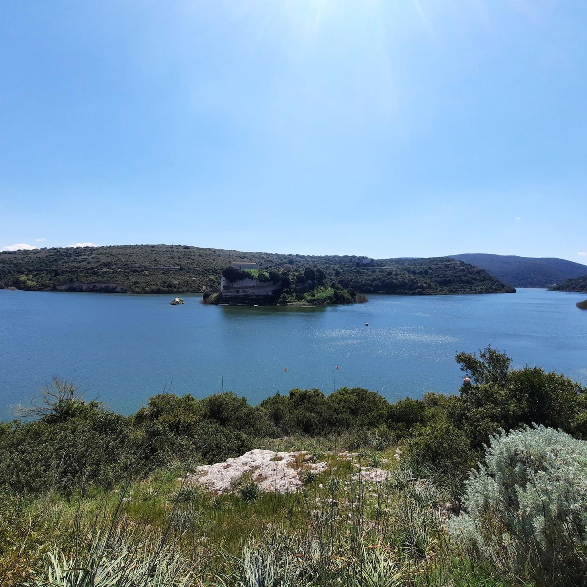
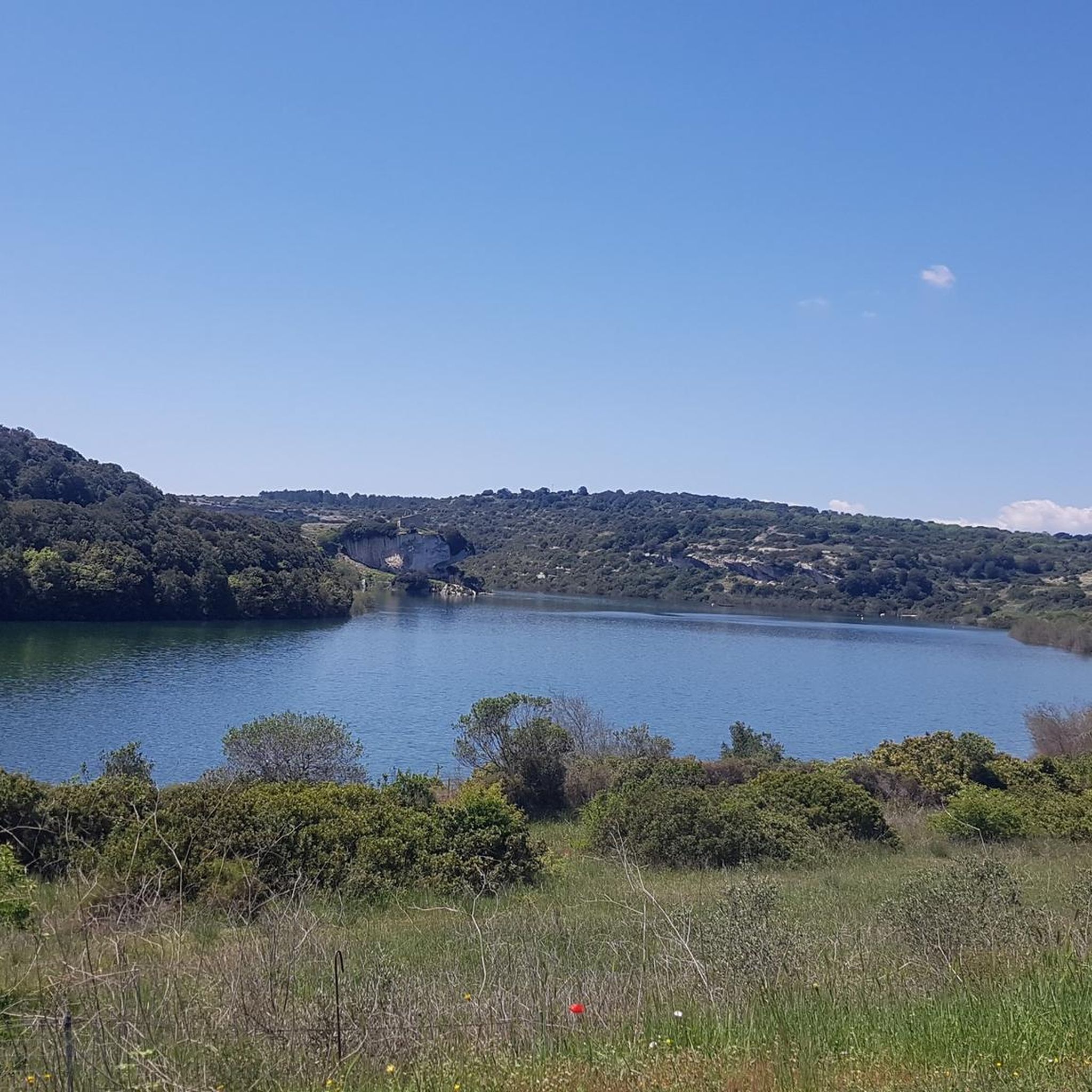
The dam blocks the Fluminimannu river in the Is Barrocus area, in the Isili area. Originates from the artificial reservoir of the same name (also known as Lake San Sebastiano) which has "trapped" the nearby church of San Sebastiano in the middle of the lake.
0
0
Beautiful picnic area with shady trees - perfect for a break.
1
0
The beautiful rest area invites you to take a break.
2
0
Here you can discover an old shepherd's hut with an associated cattle gate.
1
0
There are some very well-preserved old huts to discover here.
1
0
Frequently Asked Questions
How many hiking trails are available around Ìsili/Isili?
There are nearly 30 hiking trails around Ìsili/Isili, offering a diverse range of experiences from easy walks to more challenging ascents through gorges and natural parks.
Are there easy hiking trails suitable for beginners in Ìsili/Isili?
Yes, Ìsili/Isili offers 10 easy hiking routes. These trails are generally less strenuous and provide a good introduction to the region's natural beauty without requiring advanced hiking experience.
What is the typical duration for hikes in Ìsili/Isili?
Hike durations vary significantly. For example, the Steep Trail in Gola di Gorropu loop from Pizzu de Toni can be completed in about 1 hour 20 minutes, while longer routes like the Parco della Giara – Madonna Statue on the Rock loop from Gèsturi/Gesturi might take over 3 hours 40 minutes.
Are there any circular hiking routes in Ìsili/Isili?
Yes, many trails in Ìsili/Isili are circular, allowing you to return to your starting point without retracing your steps. Examples include the Grotta de Perdu loop from Chiesa Bauzzoni and the Steep Trail in Gola di Gorropu – Sa Stiddiosa Waterfall loop from Monte Gastea.
What kind of natural attractions can I see along the hiking trails?
The region is rich in natural attractions. You can encounter dramatic rock formations in the Gola di Gorropu, discover waterfalls like Cascata Maggiore, Aymerich Park, or explore unique geological features such as Grotta Is Janas. The Giara Plateau Park also offers distinct landscapes.
Are there any hikes that feature waterfalls?
Yes, several hikes in the area lead to beautiful waterfalls. The Steep Trail in Gola di Gorropu – Sa Stiddiosa Waterfall loop from Monte Gastea specifically features the Sa Stiddiosa Waterfall. You can also find Su Stampu 'e Su Turrunu Waterfall nearby.
What do other hikers enjoy most about hiking in Ìsili/Isili?
The hiking routes in Ìsili/Isili are highly rated by the komoot community, with an average score of 4.7 stars from over 400 reviews. Hikers often praise the diverse landscapes, from deep gorges to natural parkland, and the variety of trails catering to different ability levels.
Are there any opportunities for wild swimming near the hiking trails?
While specific wild swimming spots directly on trails are not always marked, the region features several lakes and water bodies. You might find opportunities near areas like Pauli Maiori Wetland or Pauli Oromeu, though always check local regulations and safety before entering the water.
Can I bring my dog on the hiking trails in Ìsili/Isili?
Generally, dogs are welcome on many hiking trails in Ìsili/Isili, especially in open natural areas. However, it's always recommended to keep them on a leash, especially in protected areas or near wildlife, and to check specific trail regulations if available.
What is the best time of year to hike in Ìsili/Isili?
The best time to hike in Ìsili/Isili is typically during spring (April-June) and autumn (September-November) when temperatures are milder and the landscape is vibrant. Summers can be very hot, making early morning or late afternoon hikes preferable, while winters are generally mild but can bring occasional rain.
Are there any hikes with good viewpoints in the Ìsili/Isili area?
Many trails in Ìsili/Isili traverse varied terrain, including ascents that offer panoramic views of the surrounding landscape, particularly within the dramatic Gola di Gorropu. While specific viewpoint highlights are not listed, the elevated sections of routes often provide scenic vistas.
Most popular attractions around Ìsili/Isili

Get inspired with the komoot mobile app


Explore more
Browse the best Hikes in other regions.
