The best road cycling routes around Serri
5.0
(3)
110
riders
19
rides
Road cycling routes around Serri traverse a landscape characterized by significant elevation changes and natural water features. The region features routes that explore areas around the Flumendosa River and its lower lake, offering varied terrain for cyclists. Basaltic plateaus like La Giara also contribute to the diverse topography. These routes often involve substantial climbs, providing a challenging experience for road cyclists.
Best road cycling routes around Serri
- The most popular road cycling route is La Giara and Laconi Loop,…
Last updated: July 7, 2026
5.0
(1)
14
riders
67.3km
03:41
1,400m
1,400m
Hard road ride. Very good fitness required. Mostly well-paved surfaces and easy to ride.
4
riders
99.8km
05:34
2,100m
2,100m
Hard road ride. Very good fitness required. Some segments of this route may be unpaved and difficult to ride.

Sign up for free
1
riders
85.6km
04:05
1,200m
1,200m
Hard road ride. Very good fitness required. Some segments of this route may be unpaved and difficult to ride.
5.0
(1)
23
riders
86.0km
04:36
1,630m
1,630m
Hard road ride. Very good fitness required. Mostly well-paved surfaces and easy to ride.
5.0
(1)
17
riders
107km
05:59
2,330m
2,330m
Hard road ride. Very good fitness required. Mostly well-paved surfaces and easy to ride.
Get access to more routes and recommendations from other explorers.
Sign up for free
Already have an account?
Our route recommendations are based on thousands of hikes, rides, and runs completed by other people on komoot.
Start today with a free account
Your next adventure awaits.
Login or Signup
Popular around Serri
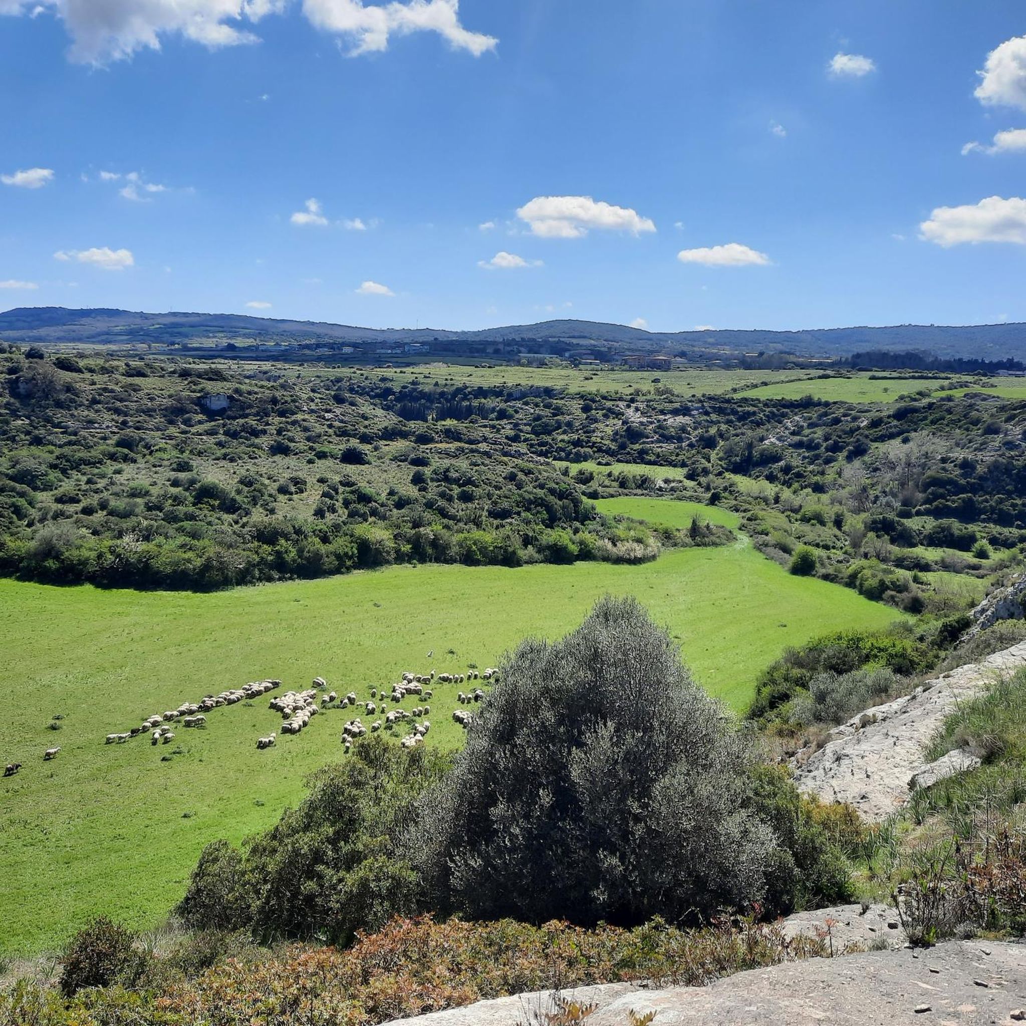
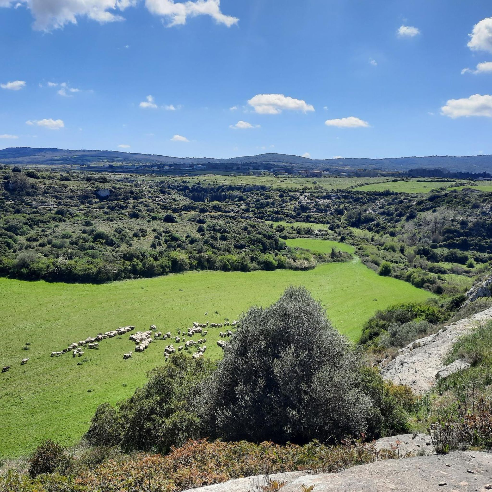

Tips from the Community

This fountain feeds the fountain de is Imbriacos, which is located a little further ahead in a cool tunnel under the road.
0
0

The landscapes that can be seen from the top overlooking the lake are breathtaking
0
0
Beautiful roads and landscapes, not at all busy when passing through. All in all, the climb is not very demanding.
1
0
Fresh water even in summer, shaded rest area on the other side of the road
1
0
Pitch dedicated to local mine workers, with a fountain nearby.
0
0
Small pitch with fountain. There's even a glass in a recess in the wall!
0
0
Seulo is the longest-lived community in the world, with 20 centenarians registered in the twenty-year period 1996-2016. As in other blue zones, photos of local centenarians are displayed along the streets of the town.
1
0
Small church in the Sadali area, located near the roadman's house of Santa Maria. Across the road there are monumental trees in a layby.
0
0
Frequently Asked Questions
What kind of terrain can I expect on road cycling routes around Serri?
Road cycling routes around Serri are characterized by significant elevation changes and natural water features. You'll encounter varied terrain, including areas around the Flumendosa River and its lower lake, as well as basaltic plateaus like La Giara. Many routes involve substantial climbs, offering a challenging experience.
Are there road cycling routes suitable for beginners in Serri?
The road cycling routes in Serri are generally geared towards moderate to difficult ability levels, with many featuring substantial ascents. There are no routes specifically classified as easy in our current selection, so beginners should be prepared for a challenging ride.
What are some of the longer road cycling routes near Serri?
For those seeking longer rides, the Mandas Town Entrance Marker – Lower Lake of the Flumendosa loop from Mandas is a challenging 66.4-mile (106.8 km) path with extensive climbing. Another option is the La Giara and Laconi Loop, which covers 53.2 miles (85.6 km) across a varied landscape.
Are there any circular road cycling routes in the Serri area?
Yes, many of the road cycling routes around Serri are circular. Examples include the Mandas Town Entrance Marker – Lower Lake of the Flumendosa loop from Mandas, the Bridge over the Flumendosa River – Lower Lake of the Flumendosa loop from Villanova Tulo, and the Drinking Water Source – Fountain and staging area loop from Serri.
What can I see along the road cycling routes in Serri?
The routes often pass by significant natural and historical sites. You might encounter the basaltic plateau of Parco della Giara, the serene Lower Lake of the Flumendosa, or even ancient Nuragic complexes like Bruncu Ma'dugui and the Sacred Nuragic Well of Coni.
Are there any waterfalls or lakes accessible by road bike near Serri?
Yes, several routes explore areas around the Lower Lake of the Flumendosa and Lake Mulargia. While not directly on a road cycling route, the Funtana Is Arinus Waterfalls are a notable natural monument in the broader region.
What is the best time of year for road cycling in Serri?
Given Serri's Mediterranean climate, spring (April-May) and autumn (September-October) generally offer the most pleasant conditions for road cycling, with milder temperatures and less intense sun than the summer months. Winter can be cooler but still offers opportunities for cycling, though some higher elevation areas might be more exposed.
How do other road cyclists rate the routes in Serri?
The road cycling routes in Serri are highly rated by the komoot community, with an average score of 5.0 stars. Cyclists often praise the challenging climbs, varied landscapes, and scenic views, particularly around the river valleys and lake areas.
Are there any moderate difficulty road cycling routes around Serri?
Yes, while many routes are difficult, there are options of moderate difficulty. For instance, the Gesturi – Rainbow Demon Warriors loop from Gerxei/Gergei is a 46.3-mile (74.5 km) route with a moderate difficulty grade, offering a good balance of challenge and accessibility.
What are the typical durations for road cycling routes in Serri?
Route durations vary significantly based on length and elevation. Shorter, difficult routes like the Bridge over the Flumendosa River – Lower Lake of the Flumendosa loop from Villanova Tulo can take around 2 hours 55 minutes, while longer, more challenging rides such as the Mandas Town Entrance Marker – Lower Lake of the Flumendosa loop from Mandas can extend to over 6 hours.
Are there any road cycling routes that pass through towns or offer amenities like cafes?
While specific amenities are not detailed for each route, many road cycling routes in Serri connect or pass near local towns and villages. For example, the Drinking Water Source – Fountain and staging area loop from Serri starts and ends in Serri, suggesting proximity to local services. It's always advisable to check town maps for cafe and rest stop locations along your chosen route.
Most popular routes around Serri
Most popular attractions around Serri

Get inspired with the komoot mobile app


Explore more
Browse the best Road cycling routes in other regions.
