The best walks and hikes around Biddobrana/Villaurbana
4.3
(62)
226
hikers
35
hikes
Hiking around Biddobrana/Villaurbana offers exploration of a landscape characterized by the volcanic Monte Arci and the ancient schist rocks of Monte Grighine. The region features dense holm oak woods, significant waterways, and numerous Nuragic sites. This diverse terrain provides varied opportunities for outdoor activities, from gentle paths to more challenging ascents.
Best hiking trails around Biddobrana/Villaurbana
- The most popular hiking route is View of Beda Manca Valley loop from Mitza sa Figu, a 5.4 miles (8.7 km) trail that…
Last updated: July 8, 2026
5.0
(9)
23
hikers
8.70km
02:54
440m
440m
Moderate hike. Good fitness required. Easily-accessible paths. Suitable for all skill levels.
1.5
(2)
8
hikers
12.1km
03:30
300m
300m
Moderate hike. Good fitness required. Easily-accessible paths. Suitable for all skill levels.

Sign up for free
16
hikers
Moderate hike. Good fitness required. Easily-accessible paths. Suitable for all skill levels.
3.8
(5)
12
hikers
8.02km
02:36
330m
340m
Moderate hike. Good fitness required. Easily-accessible paths. Suitable for all skill levels.
4.3
(4)
8
hikers
Easy hike. Great for any fitness level. Easily-accessible paths. Suitable for all skill levels.
Get access to more routes and recommendations from other explorers.
Sign up for free
Already have an account?
Our route recommendations are based on thousands of hikes, rides, and runs completed by other people on komoot.
Start today with a free account
Your next adventure awaits.
Login or Signup

Tips from the Community


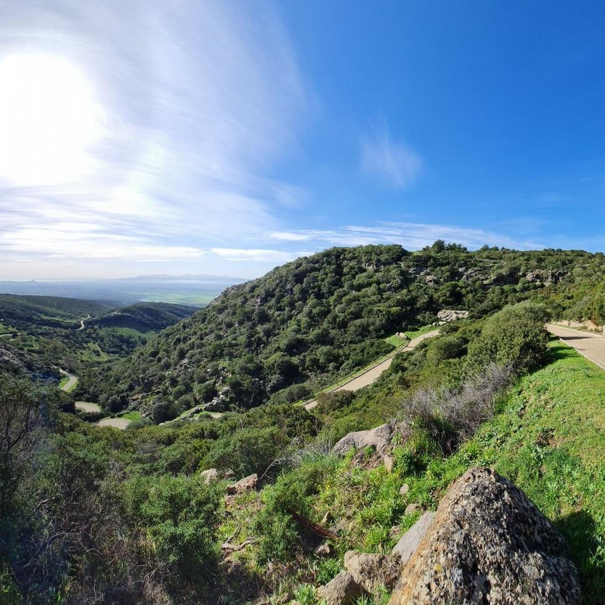
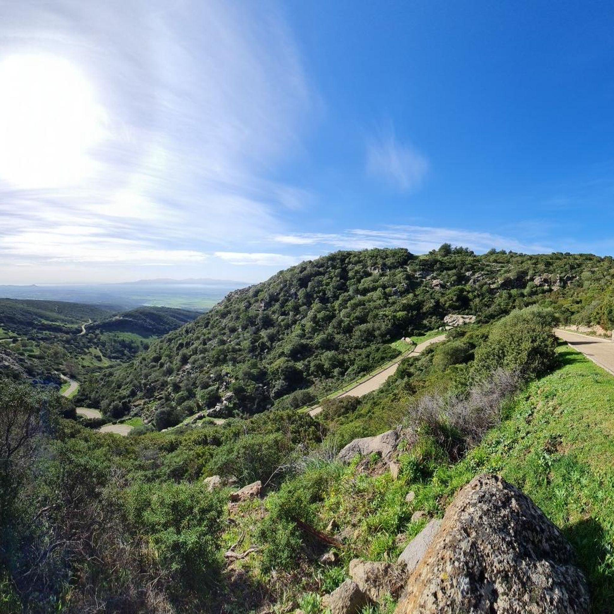
The view of the Oristano valley from Monte Arci is spectacular
1
0
Volcanic black stone, highest point of Monte Arci
1
0


Summit of Monte Arci - about 820 m
2
0
The highest point of Monte Arci at 812 m above sea level is a large basaltic rock also visible from the S.S. 131. There are various routes to get there, all very hard with gradients of up to 20% in some sections, but within a spectacular wooded setting.
5
0
Starting from the pedemontana road or from the octagonal building, you arrive by following two different routes: through the gates. passing through mitza sa figu and cuccuru ureu, or by the "diagonal" whose entrance is located just ahead of the octagon. In both cases, the route on a fairly regular dirt road presents points with a considerable slope. Once you arrive at the belvedere (about 600 m above sea level) where there is also a service building, you can enjoy a view that embraces the entire Gulf of Oristano
3
0
Frequently Asked Questions
What is the range of difficulty for hiking trails around Biddobrana/Villaurbana?
The Biddobrana/Villaurbana area offers a diverse range of hiking trails suitable for various fitness levels. Out of 31 available routes, you'll find 7 easy trails, 21 moderate options, and 3 more challenging routes for experienced hikers. This variety ensures there's something for everyone, from leisurely strolls to more strenuous ascents.
Are there any circular hiking routes in the Biddobrana/Villaurbana region?
Yes, many of the trails around Biddobrana/Villaurbana are circular, allowing you to start and end at the same point. For example, the View of Beda Manca Valley loop from Mitza sa Figu is a popular moderate circular route, and the Queen of Monte Arci – Punta Muroni loop from Mitza sa Figu also offers a scenic loop.
What kind of natural features can I expect to see on hikes near Biddobrana/Villaurbana?
The region is rich in natural beauty, defined by the volcanic Monte Arci and the ancient schist rocks of Monte Grighine. You'll encounter dense holm oak woods, significant waterways, and unique geological formations. A notable highlight is the Rio Is Salonis Waterfall, offering a refreshing stop, and the Monte Arci - Trebina Longa summit provides impressive views.
Are there any historical or cultural landmarks to explore while hiking?
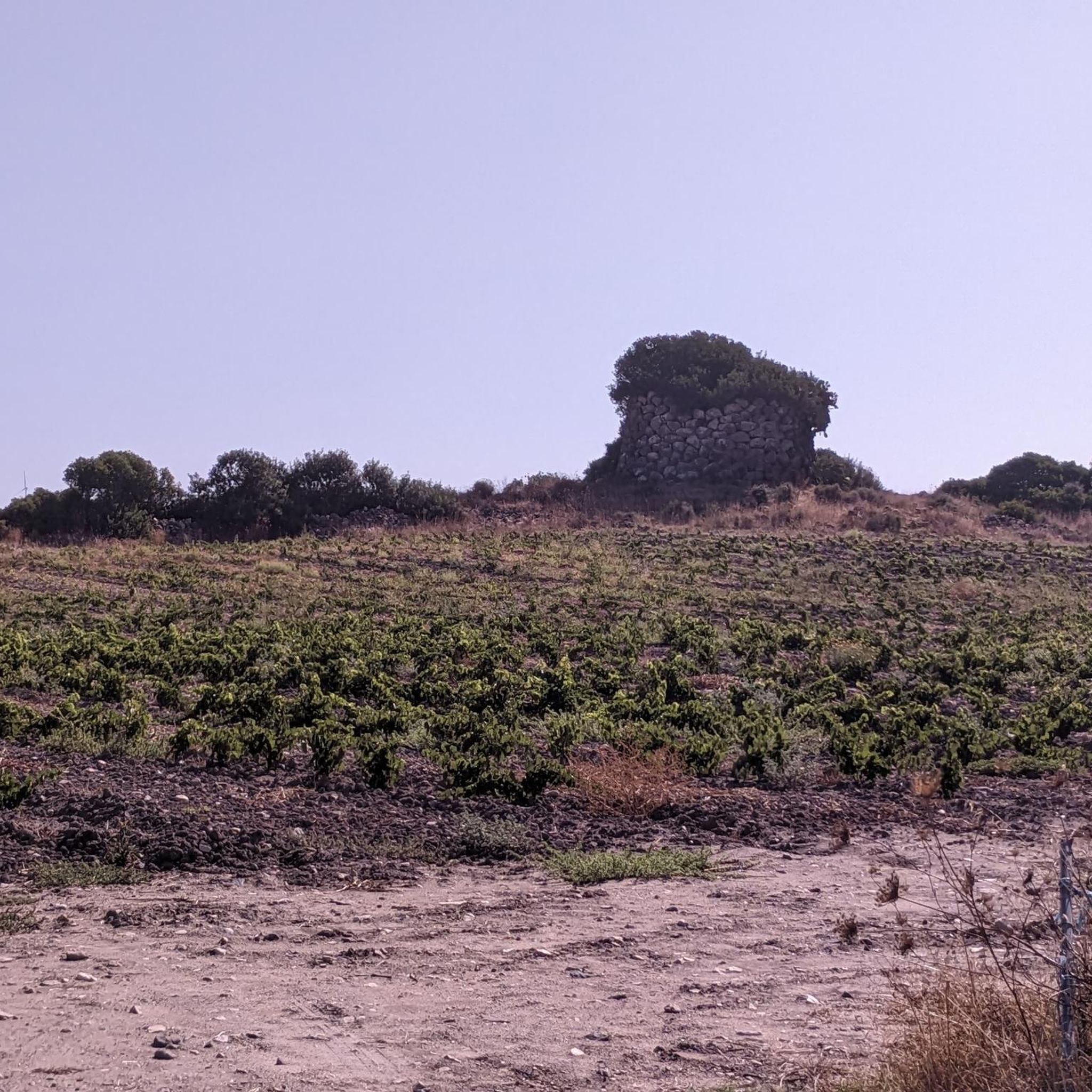
Absolutely. The territory around Villaurbana was densely inhabited during the Nuragic period, and you can find numerous well-preserved Nuraghe structures. Additionally, the Fordongianus Roman Baths and the Casa Aragonese offer glimpses into the region's rich history. The area's tradition as one of Sardinia's 'cities of bread' also adds a unique cultural dimension.
What are the best viewpoints along the hiking trails?
For stunning panoramic views, consider routes that ascend Monte Arci or Monte Grighine. The Monte Arci - Beda Manca Viewpoint, located at approximately 600 meters above sea level, offers expansive vistas of the surrounding landscape. Trails like Punta su Ventosu – View of Beda Manca Valley loop from Sennisceddu also provide excellent valley views.
Is the Biddobrana/Villaurbana area suitable for family-friendly hikes?
Yes, there are several easy trails perfect for families. For instance, the View of Beda Manca Valley – Acquafrida loop from P.ta Genna Spina is an easy 4.2 km route with minimal elevation gain, making it ideal for a leisurely family outing. The diverse terrain ensures options for all ages and abilities.
What do other hikers say about the trails in Biddobrana/Villaurbana?
The hiking routes in Biddobrana/Villaurbana are highly regarded by the komoot community, holding an average rating of 4.3 stars from over 50 reviews. Hikers often praise the unspoiled nature, the ancient holm oak forests, and the historical Nuragic sites that make the experience unique.
Are there any specific natural springs or waterways to visit?
Yes, an excursion to the S'Utturu de su Cadru Springs is highly recommended. These springs are nestled within a dense holm oak wood and are a beautiful natural feature of the area. The region is also nourished by a vital waterway, known by various names like Rio Crannaxiu, which has historically supported local agriculture.
What is the best season to go hiking in Biddobrana/Villaurbana?
While specific seasonal recommendations depend on personal preference, the mild Sardinian climate generally makes spring and autumn ideal for hiking. During these seasons, temperatures are pleasant, and the landscape is vibrant. Summer can be hot, so early morning or late afternoon hikes are advisable, while winter offers cooler, often clear conditions.
Is there parking available at the trailheads?
While specific parking details for every trailhead are not always listed, many hiking areas in rural Sardinia, including those around Villaurbana, typically offer informal parking spots near popular starting points or attractions. It's advisable to check route descriptions on komoot for specific parking information or look for designated areas in nearby villages.
Can I bring my dog on the hiking trails?
Generally, dogs are welcome on most hiking trails in the Biddobrana/Villaurbana region, especially in natural park areas like Monte Arci. However, it's always recommended to keep your dog on a leash, especially in areas with wildlife or livestock, and to follow local regulations regarding pet access. Always carry water for your dog and clean up after them.
Are there any trails that explore the Monte Arci area specifically?
Yes, the Monte Arci area is a significant feature for hikers. The Acquafrida – Monte Arci - Trebina Longa loop from Sennisceddu is a moderate 12.3 km path that specifically explores this ancient geological region, known for its obsidian and unique landscapes.
Most popular routes around Biddobrana/Villaurbana
Most popular attractions around Biddobrana/Villaurbana

Get inspired with the komoot mobile app


Explore more
Browse the best Hikes in other regions.
