The best road cycling routes around Schwarmstedt
4.4
(126)
1,790
riders
31
rides
Road cycling around Schwarmstedt is characterized by the flat to gently undulating river valleys of the Aller and Leine, situated on the southwestern edge of the Lüneburg Heath. This region features extensive meadows, floodplains, and picturesque woodlands, providing a generally low-gradient terrain ideal for road cycling. The landscape is part of a Landschaftsschutzgebiet, preserving its natural ecosystems and offering tranquil views.
Best road cycling routes around Schwarmstedt
- The most popular road cycling route is Blaubeerland Farm Shop Café – Bothmer…
Last updated: July 1, 2026
5.0
(4)
40
riders
32.4km
01:27
50m
50m
Moderate road ride. Great for any fitness level. Some segments of this route may be unpaved and difficult to ride.
5.0
(2)
34
riders
57.8km
02:26
190m
190m
Moderate road ride. Good fitness required. Some segments of this route may be unpaved and difficult to ride.

Sign up for free
5.0
(1)
24
riders
Moderate road ride. Good fitness required. Some segments of this route may be unpaved and difficult to ride.
19
riders
39.6km
01:42
80m
80m
Moderate road ride. Great for any fitness level. Some segments of this route may be unpaved and difficult to ride.
13
riders
78.8km
03:16
180m
180m
Moderate road ride. Good fitness required. Mostly well-paved surfaces and easy to ride.
Get access to more routes and recommendations from other explorers.
Sign up for free
Already have an account?
Our route recommendations are based on thousands of hikes, rides, and runs completed by other people on komoot.
Start today with a free account
Your next adventure awaits.
Login or Signup
Popular around Schwarmstedt
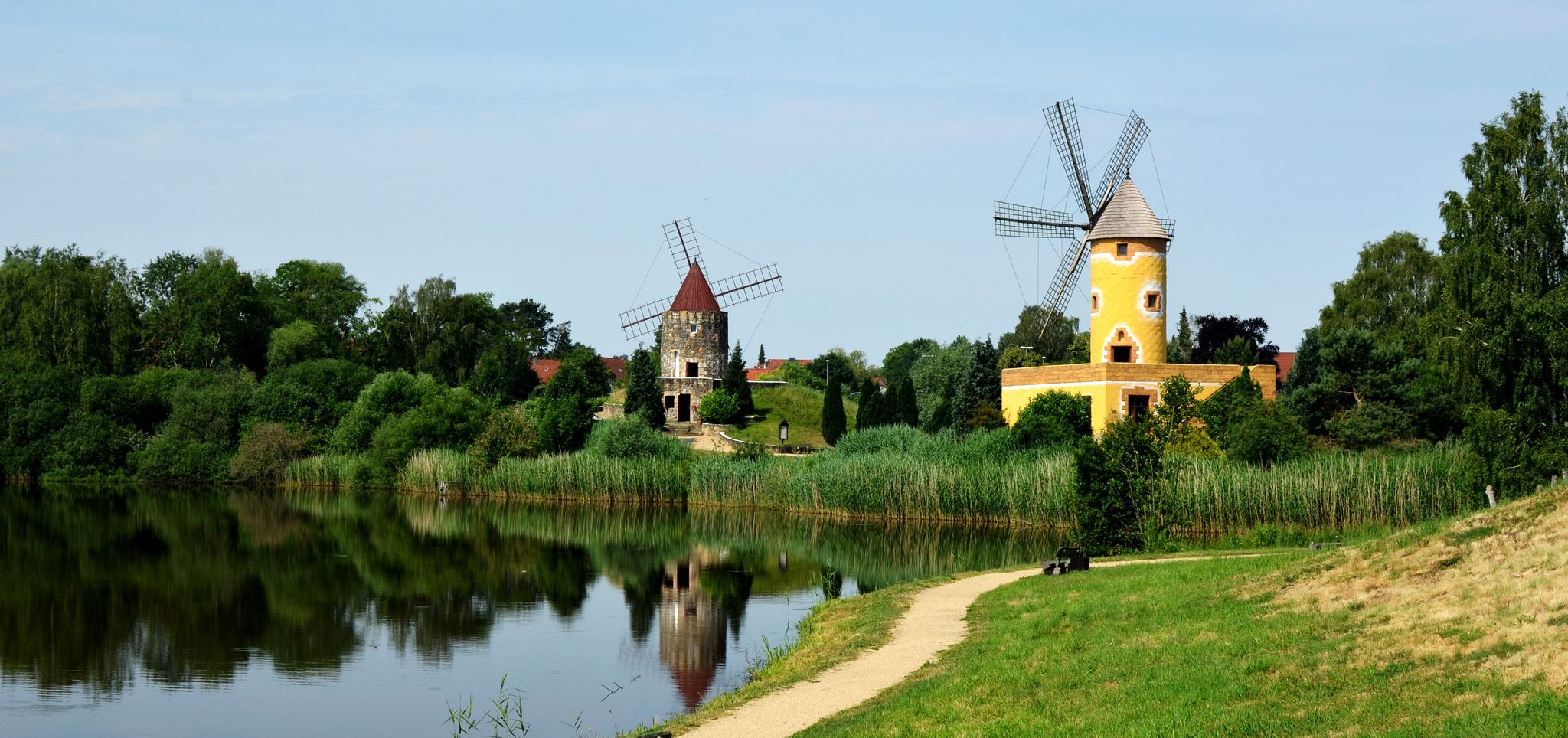
Aller Cycle Path – In 6 stages
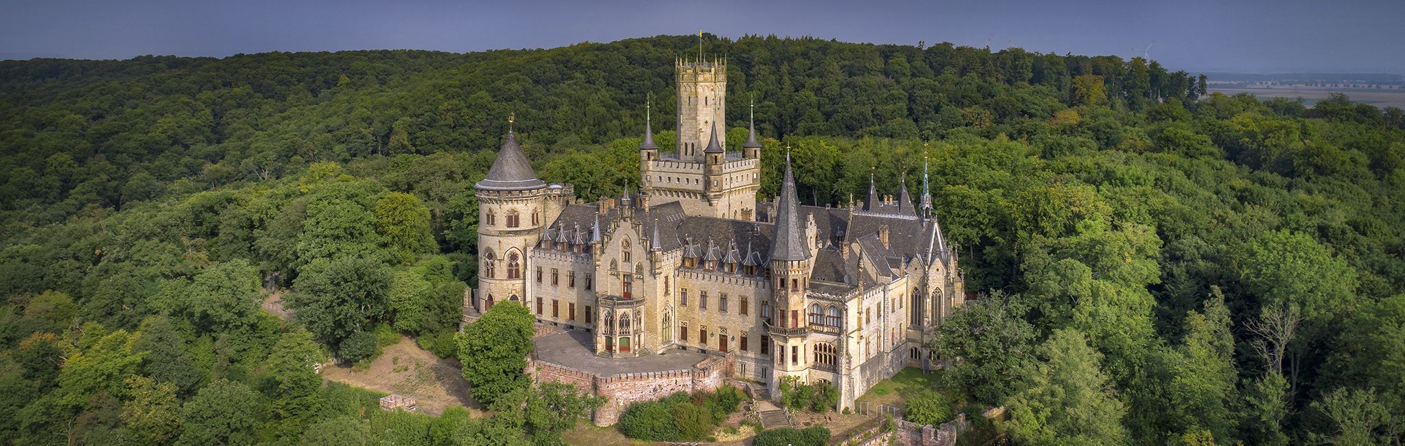
Cultural route in Niedersachsen – By Bike through Hannover and the surrounding countryside
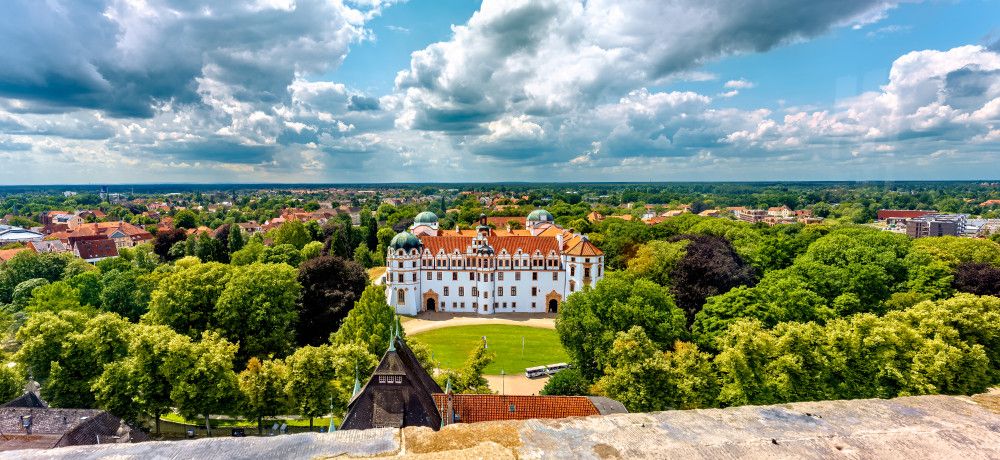
Kulturroute in Niedersachsen – Alternativrouten / Ergänzungsrouten
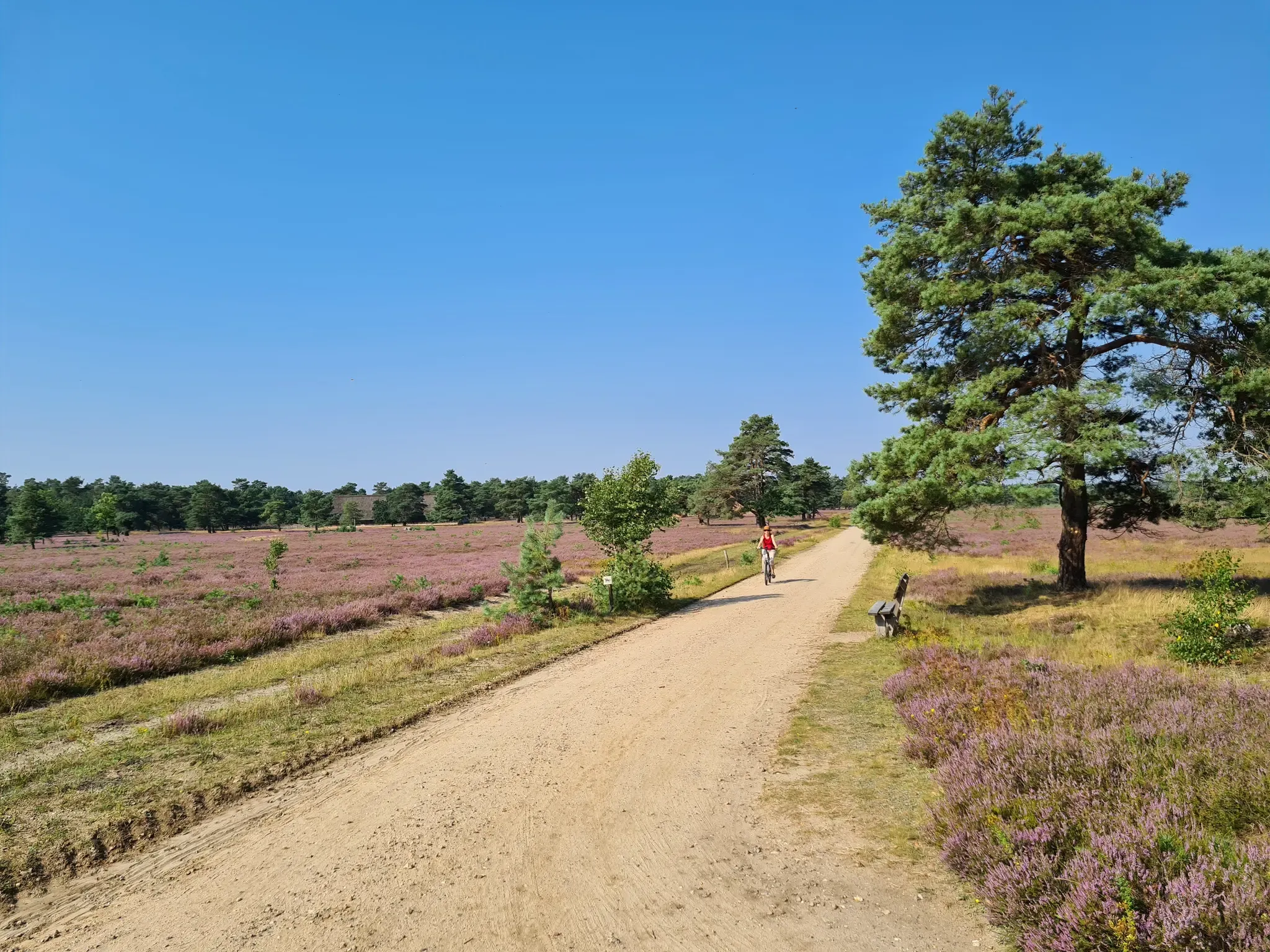
An der langen Leine bis nach Hamburg – Der Leine-Heide Radweg
Cycling around Schwarmstedt
Hiking around Schwarmstedt
Running Trails around Schwarmstedt
MTB Trails around Schwarmstedt

Gravel biking around Schwarmstedt
Other adventures around Schwarmstedt


Tips from the Community

Evangelical Lutheran Church of the Celle parish. There is no information about a predecessor building. It was probably a wooden church and was one of the churches built in the 9th century during the missionary period in Saxony. More: https://de.wikipedia.org/wiki/St._Johannes_der_T%C3%A4ufer_(Winsen/Aller)
1
0
A wonderfully wide and quiet route through the Bergen military training area. The asphalt is really top-notch, and no tanks were damaged.
1
0
A beautiful route through wooded areas on a wide road with relatively little traffic. The entire length of the Esseler Damm is 9.5 km from the L190 junction to Ostenholz.
1
0
Driving towards it, the bridge certainly looks quite impressive (even though it's just a bridge). The completion of the 137-meter-long new bridge also represents an investment in traffic safety, as the new alignment will improve visibility along the entire section and enable safer pedestrian and bicycle traffic. The entire new section is approximately 630 meters long. Construction costs amount to a good six million euros, of which almost five million euros are for bridge construction. The project is being financed equally by the state and the European Regional Development Fund (ERDF). Source and further information: https://www.schwarmstedt.de/joomla/index.php/aktuelles/20-aktuelles/aktuelle-meldungen/285-allerbruecke-freigegeben
0
0

Table and benches invite you to take a break
0
0

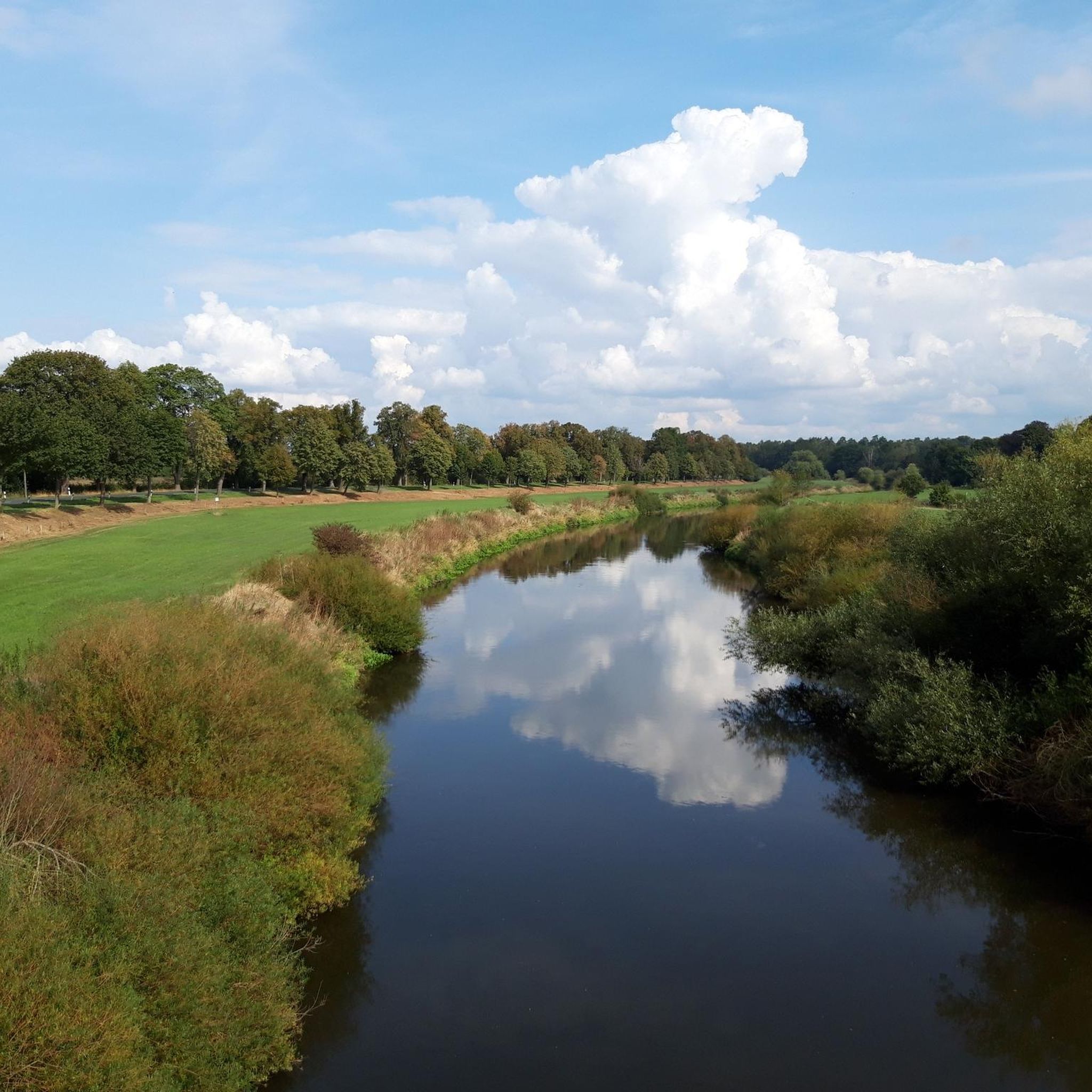
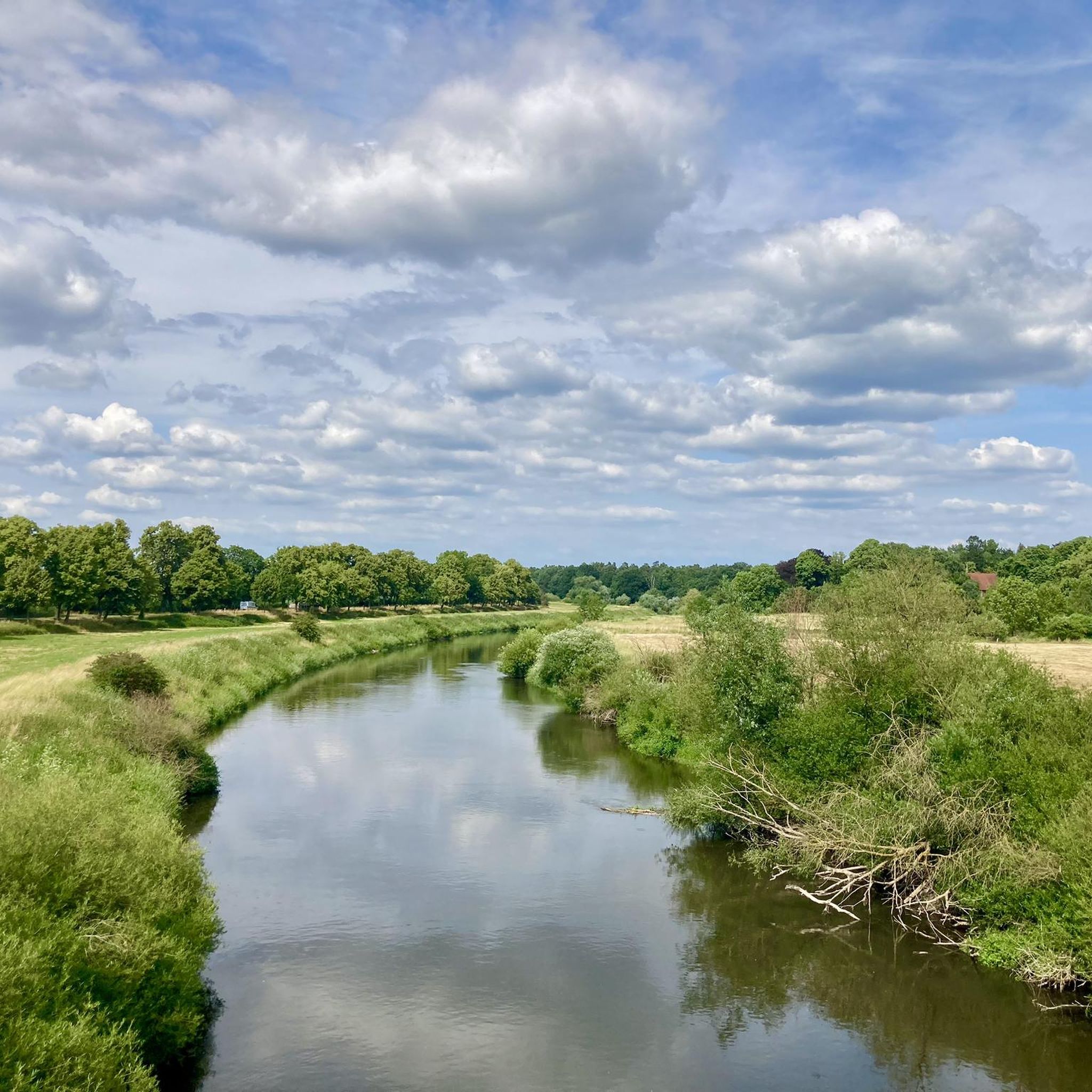
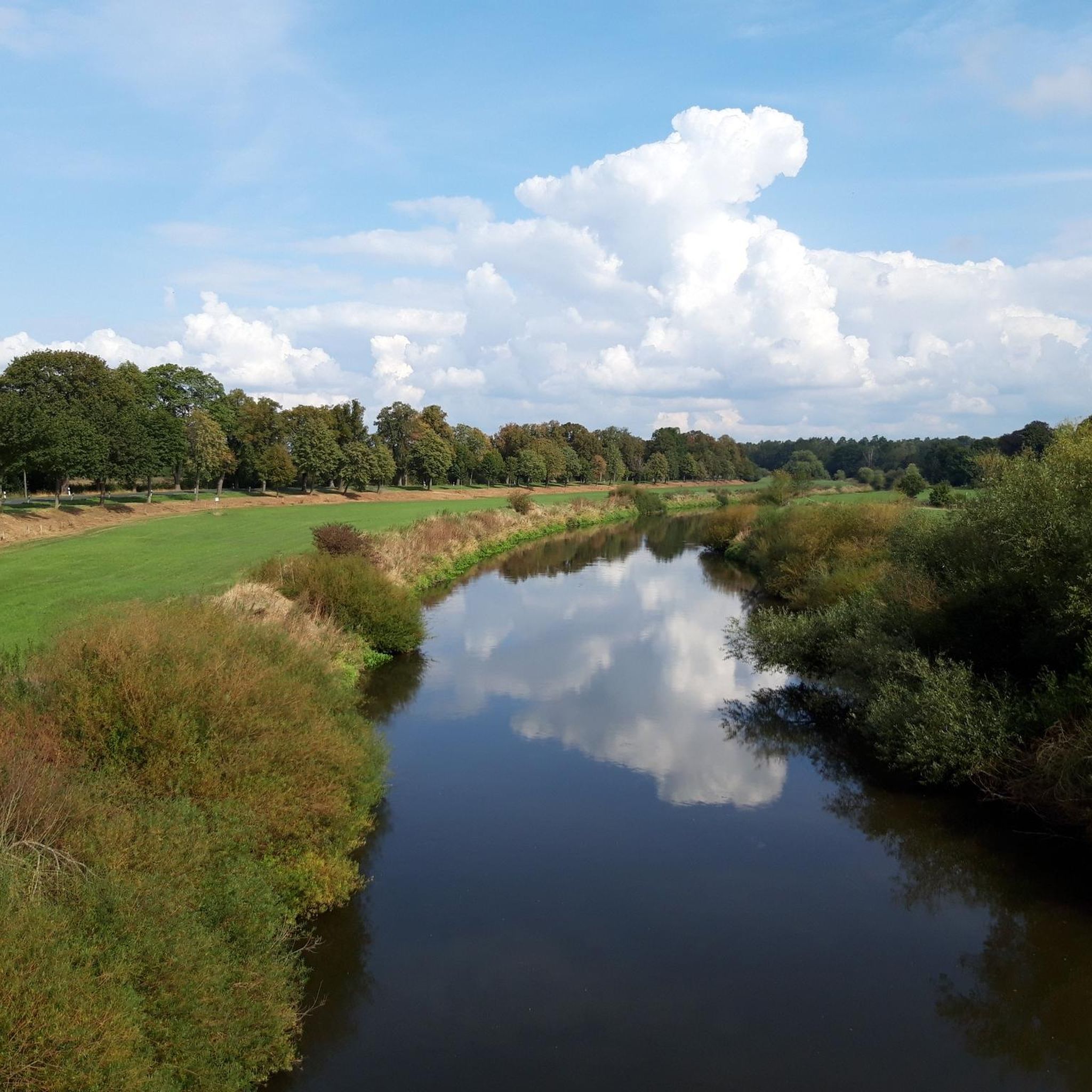
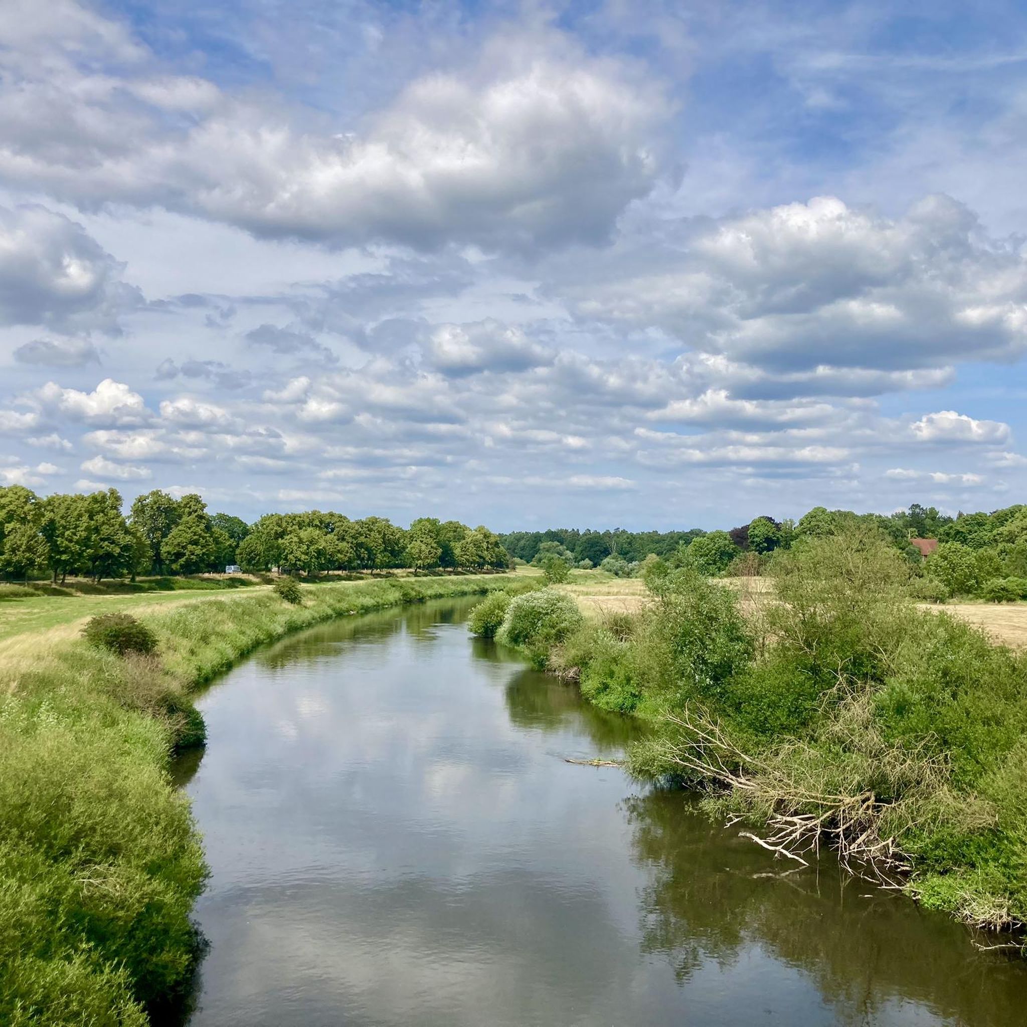
Very beautiful to look at. When the weather is nice, you'll also find kayaks and stand-up boards out here ☀️🛶
2
0

The Way of St. James pilgrim stamp is available at the cultural café, which was unfortunately closed due to a training conference. The parish office has to provide the "regular" stamp.
0
0

Frequently Asked Questions
How many road cycling routes are available around Schwarmstedt?
There are over 30 road cycling routes around Schwarmstedt, with options for various preferences. The majority are moderate, but you'll also find several easy routes suitable for a more relaxed ride.
What kind of terrain can I expect on road cycling routes in Schwarmstedt?
The region is characterized by the flat to gently undulating river valleys of the Aller and Leine, situated on the southwestern edge of the Lüneburg Heath. You can expect extensive meadows, floodplains, and picturesque woodlands, providing a generally low-gradient terrain ideal for road cycling without significant climbs.
Are there any family-friendly road cycling routes in Schwarmstedt?
Yes, Schwarmstedt offers several easy road cycling routes that are well-suited for families. These routes typically feature mostly paved surfaces and low gradients, making them enjoyable for all ages. Look for routes with shorter distances, such as the local loop routes mentioned in the guide.
What are some scenic highlights or landmarks I can see along the road cycling routes?
Many routes offer scenic views of the Aller and Leine river landscapes. You might pass by the historic Bothmer Mill, a notable landmark, or cross the modern Aller Bridge near Essel, which provides panoramic views. The region is also part of a Landschaftsschutzgebiet, preserving its natural ecosystems with picturesque woodlands and meadows.
Are there any circular road cycling routes around Schwarmstedt?
Yes, many of the road cycling routes around Schwarmstedt are designed as loops, allowing you to start and end in the same location. Examples include the popular Blaubeerland Farm Shop Café – Bothmer Mill loop from Schwarmstedt and the Esseler Damm – Blueberry Café loop from Schwarmstedt.
What do other road cyclists enjoy most about cycling in Schwarmstedt?
The area is highly rated by the komoot community, with an average score of 4.5 stars from over 20 reviews. Cyclists often praise the tranquil views, the well-maintained paths along the river valleys, and the variety of routes that cater to different fitness levels, from easy loops to longer, moderate tours.
Are there any longer road cycling routes for more advanced riders?
While the terrain is generally low-gradient, there are longer moderate routes that offer a good challenge for more advanced riders. For instance, the Esseler Damm – Panzerringstraße loop from Schwarmstedt covers over 78 kilometers, providing a substantial ride through varied landscapes.
What is the best time of year to go road cycling in Schwarmstedt?
Spring and summer are particularly pleasant for road cycling in Schwarmstedt. During these months, the weather is generally favorable, and the natural landscapes, including the meadows and floodplains, are vibrant. You might even spot storks in the Aller lowlands during spring and summer.
Are there places to stop for refreshments or cafes along the routes?
Yes, some routes pass by local cafes or farm shops where you can take a break and refuel. For example, the Blaubeerland Farm Shop Café – Bothmer Mill loop from Schwarmstedt includes a farm shop cafe, and the Esseler Damm – Blueberry Café loop from Schwarmstedt also suggests a stop at a blueberry cafe.
Where can I find parking for road cycling routes in Schwarmstedt?
Schwarmstedt and its surrounding villages offer various public parking options. Many routes start from central locations or near local amenities where parking is available. It's advisable to check specific starting points for detailed parking information before your ride.
Can I combine road cycling with other outdoor activities in the area?
Absolutely! Beyond cycling, the Schwarmstedt region offers opportunities for hiking through forests and along rivers. For those looking to cool off, the Naturbadsee provides free swimming. You can also explore geological features at the Oegenbostel Sand Pit, which has a geological adventure trail.
What are the typical distances and elevations for road cycling routes in Schwarmstedt?
Routes vary in distance, from shorter loops of around 25 km to longer tours exceeding 70 km. Due to the flat river valleys, elevation gains are generally low, typically ranging from 50 to 180 meters over the course of a ride, making it accessible for most road cyclists.
Most popular routes around Schwarmstedt
Most popular attractions around Schwarmstedt

Get inspired with the komoot mobile app


Explore more
Browse the best Road cycling routes in other regions.
