The best walks and hikes around Guardiaregia
4.2
(105)
504
hikers
12
hikes
Hiking around Guardiaregia offers diverse terrain within the Molise region, characterized by mountainous landscapes and protected natural areas. The area features prominent peaks like Monte Mutria and includes the Riserva Regionale Guardiaregia-Campochiaro, providing varied elevation changes and natural beauty. Hikers can explore dense woodlands, open mountain paths, and specific geological formations such as the Quirino Gorge.
Best hiking trails around Guardiaregia
- The most popular hiking route is Monte Mutria – loop tour in the Riserva Regionale Guardiaregia-Campochiaro, a 15.5…
Last updated: June 24, 2026
3.0
(1)
2
hikers
24.9km
08:41
1,080m
1,090m
Embark on a challenging 15.5-mile (24.9 km) loop tour around Monte Mutria, a difficult hike that demands very good fitness and sure-footedness. This route, with its 3551 feet (1082 metres)…
19.4km
06:00
730m
730m
Embark on the I Tre Frati Loop, a difficult 12.0-mile (19.4 km) hike that challenges you with a significant 2400 feet (732 metres) of elevation gain. This route typically takes…

Sign up for free
3.6
(9)
32
hikers
7.25km
02:11
230m
230m
Moderate hike. Good fitness required. Easily-accessible paths. Suitable for all skill levels.
4.5
(4)
19
hikers
Moderate hike. Good fitness required. Easily-accessible paths. Suitable for all skill levels.
4.5
(4)
9
hikers
1.73km
00:29
30m
30m
Easy hike. Great for any fitness level. Easily-accessible paths. Suitable for all skill levels.
Get access to more routes and recommendations from other explorers.
Sign up for free
Already have an account?
Our route recommendations are based on thousands of hikes, rides, and runs completed by other people on komoot.
Start today with a free account
Your next adventure awaits.
Login or Signup

Tips from the Community

In winter the huge roots are covered by snow, it yields less but it is still a nice highlight
0
0

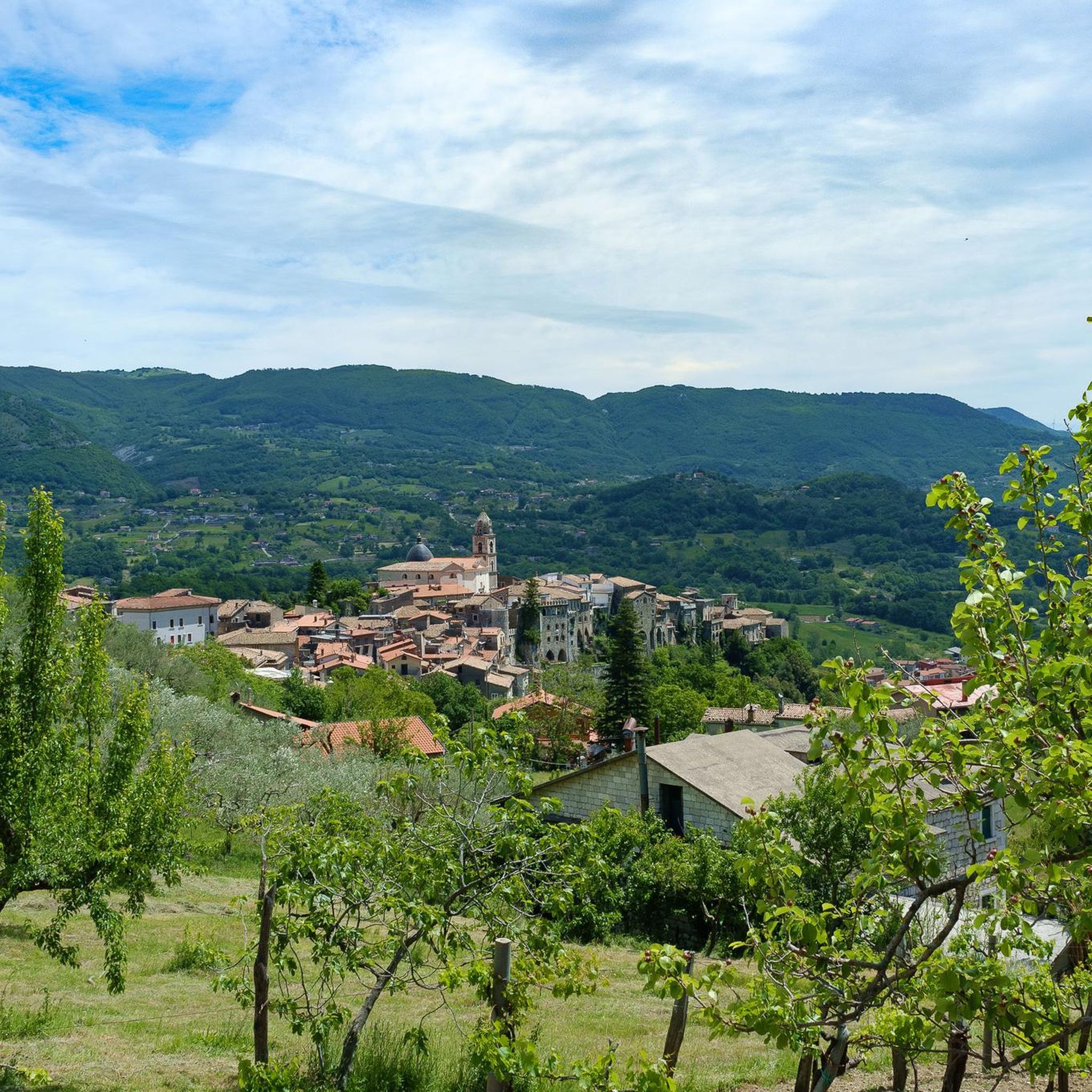
From here you can admire Guardiaregia and the Archichiaro reservoir from above, as well as Monte Tre Confini.
0
0

Going up the narrow streets of Guardiaregia (CB), starting from the main square Piazza degli Eroi, you reach a belvedere with a breathtaking view of the Gorges.
6
0
The church belonged to the medieval era, but is in neoclassical style after the earthquake of 1805. It has a basilica plan with three naves, with a tripartite façade in three portals. The bell tower is a compact tower with a cusp.
7
0
Difference in level of the Quirino stream near a waterfall, where a small natural pool has been created.
6
0
Belvedere point on the Quirino Gorge..... Spectacular ⛰️
3
0
A small wooden bridge to cross a small stream of water. Unfortunately it is dry in summer.
6
0

The Tre Frati are three centuries-old beech trees found on the northern slopes of Monte Mutria, within the Guardiaregia-Campochiaro WWF Oasis. The estimated age is around 500 years and they are surrounded by a dense forest. To reach the Tre Frati there are several hiking trails that start from Fonte Colle Macchio or from Pietraroja.
2
0
Frequently Asked Questions
How many hiking trails are available in Guardiaregia?
Guardiaregia offers a selection of 11 hiking trails, catering to various skill levels. You'll find options ranging from easy strolls to more challenging mountain ascents.
Are there easy hiking routes suitable for beginners in Guardiaregia?
Yes, Guardiaregia has routes suitable for beginners. For example, the Quirino Gorge – Wooden Footbridge loop from Guardiaregia is an easy 1.1-mile (1.7 km) trail that takes approximately 30 minutes to complete, offering a gentle introduction to the area's natural beauty.
Are there any family-friendly hiking options in Guardiaregia?
Guardiaregia offers several family-friendly hiking options. The trails are diverse, with some routes specifically designed to be accessible and enjoyable for families, allowing everyone to experience the natural landscapes of the Molise region.
What is the best time of year to go hiking in Guardiaregia?
The best time for hiking in Guardiaregia is generally during spring and autumn when the weather is mild and the natural scenery is vibrant. Summer can also be pleasant, especially at higher elevations, but always be prepared for varying conditions.
Are there any circular hiking routes in Guardiaregia?
Yes, many of the trails in Guardiaregia are circular, offering varied scenery without retracing your steps. A notable example is the The Three Brothers – Il Frate Maggiore loop from Guardiaregia, a moderate 4.5-mile (7.3 km) trail that provides a diverse hiking experience.
What kind of natural attractions can I see along the trails in Guardiaregia?
Guardiaregia's trails lead through a region rich in natural monuments and water features. You can explore highlights such as the Lavello Gorges, the impressive Mount Mutria, and the serene Lake Matese. There are also unique geological formations like the Fairy Cave.
What do other hikers enjoy most about the trails in Guardiaregia?
The hiking trails in Guardiaregia are highly rated by the komoot community, with an average score of 4.3 stars. Hikers frequently praise the diverse terrain, from dense woodlands to open mountain paths, and the stunning views across the mountainous landscape, especially on routes like the I Tre Frati Loop.
Are there any trails that offer views of lakes or dams?
Yes, some trails provide scenic views of the region's water bodies. The Mount Mutria – View of the Arcichiaro Dam loop from Riserva Naturale Regionale Oasi WWF Guardiaregia - Campochiaro is a moderate 7.3-mile (11.7 km) route that offers vistas of the Arcichiaro Dam and surrounding landscapes.
Is it possible to hike in Guardiaregia during winter?
Winter hiking in Guardiaregia is possible, but conditions can be challenging due to snow and ice, especially at higher elevations like Monte Mutria. It's essential to check local weather forecasts, be properly equipped with appropriate gear, and consider shorter, lower-altitude routes during colder months.
Where can I find parking near the hiking trailheads in Guardiaregia?
Parking availability varies by trailhead. Many popular starting points, especially those within or near the Riserva Regionale Guardiaregia-Campochiaro, typically have designated parking areas. It's advisable to check specific route details on komoot for parking information related to your chosen trail.
Are there any trails that lead to prominent peaks or summits?
Absolutely. Guardiaregia is characterized by its mountainous landscape. Trails often lead to significant peaks such as Mount Mutria and La Gallinola Summit, offering rewarding panoramic views of the Molise region. The Monte Mutria – loop tour in the Riserva Regionale Guardiaregia-Campochiaro is a prime example of a route exploring these elevated areas.
Most popular attractions around Guardiaregia

Get inspired with the komoot mobile app


Explore more
Browse the best Hikes in other regions.
