The best road cycling routes around Campolattaro
4.6
(33)
377
riders
53
rides
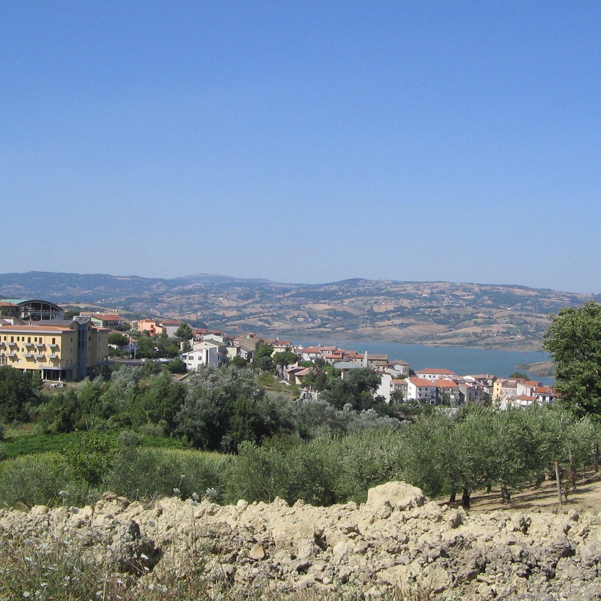
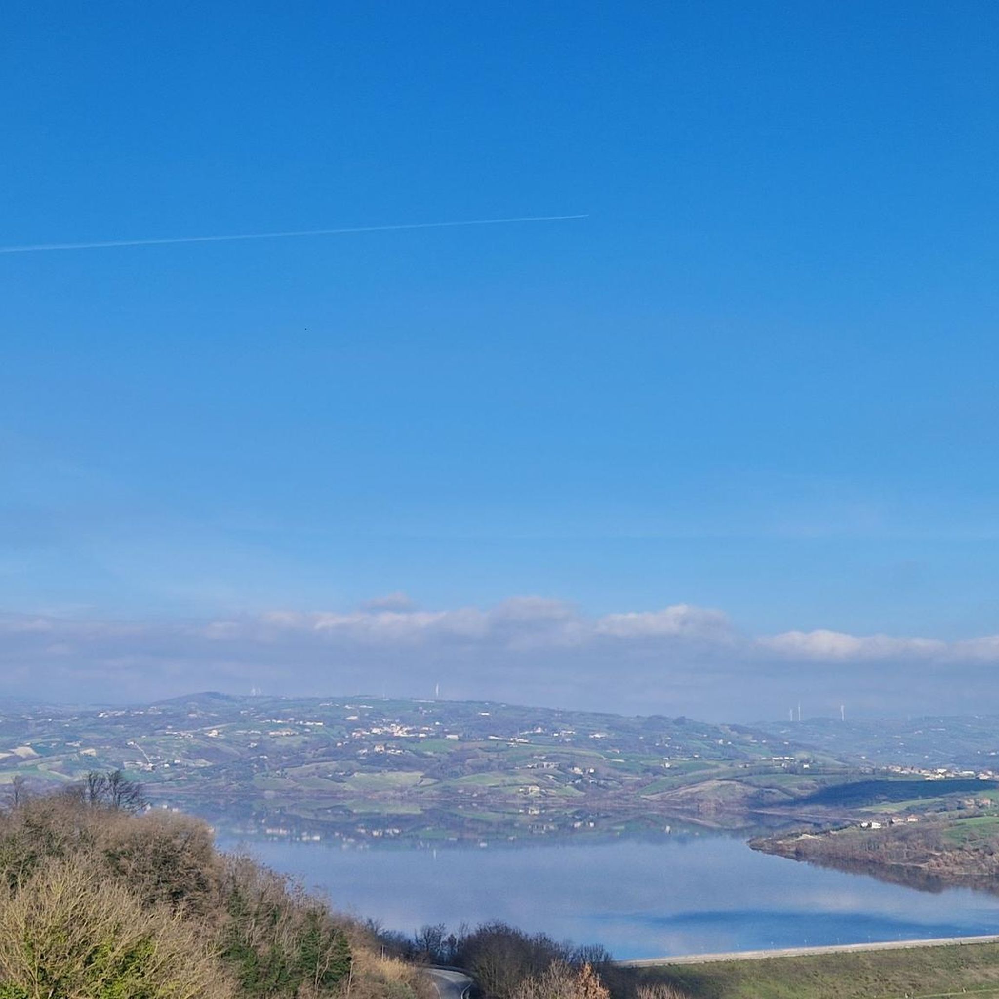
Road cycling routes around Campolattaro traverse a landscape characterized by river valleys, such as the Tammaro and Fortore, and the foothills of the Matese mountains. The region features varied terrain, from moderate loops around Lake Campolattaro to challenging climbs into higher elevations. Road cyclists can expect a mix of rolling hills and more demanding ascents.
Best road cycling routes around Campolattaro
- The most popular road cycling route is From the Tammaro valley to the Matese mountains – loop tour from…
Last updated: July 7, 2026
17
riders
67.0km
03:45
1,350m
1,350m
Hard road ride. Very good fitness required. Mostly well-paved surfaces and easy to ride.
2
riders
22.6km
01:11
400m
400m
This moderate 14.0-mile (22.6 km) road cycling route around Lake Campolattaro offers scenic views and wildlife spotting opportunities.

Sign up for free
119km
06:15
2,300m
2,300m
Hard road ride. Very good fitness required. Mostly well-paved surfaces and easy to ride.
23
riders
96.0km
05:18
2,010m
2,010m
Hard road ride. Very good fitness required. Mostly well-paved surfaces and easy to ride.
16
riders
95.5km
04:51
1,530m
1,530m
Hard road ride. Very good fitness required. Mostly well-paved surfaces and easy to ride.
Get access to more routes and recommendations from other explorers.
Sign up for free
Already have an account?
Our route recommendations are based on thousands of hikes, rides, and runs completed by other people on komoot.
Start today with a free account
Your next adventure awaits.
Login or Signup
Popular around Campolattaro
Tips from the Community

Landmark Roman gateway with carved stone reliefs, built around 114 A.D. in honor of Emperor Trajan.
0
0

The Roman bridge is beautiful, again on the Calore river, a little further downstream.
0
0
Trajan's arch is the symbol of Benevento and represents a well-preserved testimony of Roman civilisation.
0
0

Splendid find from the Roman era in Benevento.
0
0

A beautiful archaeological area to visit. It was a pre-Roman settlement, first populated by Samnites and then in 293 BC by the Romans and was on the ancient road from Beneventum to Corfinium.
0
0

One of the most famous tourist resorts in Molise. It is a fraction of San Massimo, at an altitude of 1450m. There are ski rentals, bars and restaurants. We are in the high matese, and we can admire the highest peaks in the area
0
0

Celebratory arch dedicated to Trajan (114 AD). The work was built for the inauguration of the Via Traiana which shortened the connection between Rome and Brindisi compared to the previous Via Appia.
1
0

Pietrelcina is a town in the province of Benevento famous for being the birthplace of San Pio da Pietrelcina, the Capuchin saint with the stigmata. There are many places linked to the life and spirituality of Saint Pio, such as his birthplace and the convent of the Capuchin Friars Minor.
1
0
Frequently Asked Questions
How many road cycling routes are available around Campolattaro?
There are over 45 road cycling routes available around Campolattaro, offering a diverse range of experiences from moderate loops to challenging mountain ascents.
What kind of terrain can I expect when road cycling in Campolattaro?
Road cycling routes around Campolattaro traverse a varied landscape characterized by river valleys, such as the Tammaro and Fortore, and the foothills of the Matese mountains. You can expect a mix of rolling hills and more demanding ascents, with options for different ability levels.
Are there easy road cycling routes suitable for beginners in Campolattaro?
Yes, Campolattaro offers a few easy road cycling routes, alongside 19 moderate options. For a less strenuous ride with scenic views, consider the Lake Campolattaro WWF Oasis Loop, which is a moderate 14.0 miles (22.6 km) path.
Where can I find challenging road cycling routes with significant climbs?
For challenging rides, Campolattaro has 24 difficult routes. A notable option is Pietrelcina and the Valle del Fortore – loop tour from Campolattaro, a 73.8 miles (118.8 km) trail with significant elevation gain. Another demanding route is From the Tammaro valley to the Matese mountains – loop tour from Pontelandolfo, a 41.6 miles (67.0 km) route with over 1300 meters of climbing.
Are there any circular road cycling routes around Campolattaro?
Many routes in the area are designed as loops, allowing you to start and finish in the same location. Examples include the Lake Campolattaro WWF Oasis Loop and the longer Pietrelcina and the Valle del Fortore – loop tour from Campolattaro.
Can I find long-distance road cycling routes in the Campolattaro area?
Yes, the region offers several long-distance routes. The Pietrelcina and the Valle del Fortore – loop tour from Campolattaro covers nearly 119 km, providing an extensive ride through the Fortore valley. Another option is the Campitello Matese Plateau – Morcone loop from Morcone, which is about 96 km long.
What are some notable landmarks or attractions I can see while road cycling?
While cycling, you can explore several points of interest. The Lake Campolattaro - WWF Oasis is a prominent natural attraction. You might also pass through charming settlements like Morcone or Campolattaro itself, and see historical structures like the San Giovanni Bridge.
What is the best time of year for road cycling in Campolattaro?
The spring and autumn months generally offer the most pleasant conditions for road cycling in Campolattaro, with milder temperatures and less rainfall. Summer can be warm, especially in the valleys, but higher elevation routes provide cooler air. Winter can bring colder temperatures and occasional snow in the mountains.
Are the road cycling routes around Campolattaro suitable for families?
While many routes involve significant elevation, there are moderate options that could be suitable for families with older, experienced children. The Lake Campolattaro WWF Oasis Loop, for instance, offers a less strenuous ride around the lake.
What do other road cyclists say about the routes in Campolattaro?
The road cycling routes in Campolattaro are highly rated by the komoot community, with an average score of 4.4 stars from over 30 reviews. Cyclists often praise the varied terrain, from scenic lake loops to challenging mountain climbs, and the natural beauty of the river valleys and Matese foothills.
Are there road cycling routes that pass by cafes or places to rest?
Many routes in the Campolattaro region pass through or near small towns and villages where you can find local cafes, bars, or trattorias for a break and refreshments. Planning your route to include these stops can enhance your cycling experience.
Where can I find parking or starting points for road cycling routes in Campolattaro?
Many road cycling routes in the area, particularly loop tours, often start and end in towns like Campolattaro, Pontelandolfo, or Morcone. These locations typically offer public parking options. It's advisable to check specific route details for recommended starting points and parking availability.
What are the typical weather conditions for road cycling in Campolattaro?
Campolattaro experiences a Mediterranean climate with hot, dry summers and mild, wet winters. Spring and autumn offer moderate temperatures ideal for cycling. Always check the local forecast before heading out, especially if planning a ride into the higher Matese mountains where conditions can change rapidly.
Most popular routes around Campolattaro
Most popular attractions around Campolattaro

Get inspired with the komoot mobile app


Explore more
Browse the best Road cycling routes in other regions.
