The best road cycling routes around San Giorgio La Molara
5.0
(7)
147
riders
22
rides
Road cycling routes around San Giorgio La Molara are situated in Italy's Campania region, within the Samnite Apennine mountains. The area features a mountainous Apennine environment with diverse terrain, including valleys of the Tammarecchia and Sanzano streams. Cyclists encounter elevation changes and scenic views, with notable features like Lake San Giorgio at approximately 900 meters above sea level.
Best road cycling routes around San Giorgio La Molara
- The most popular road cycling route is Lago di Decorata – Lake San…
Last updated: October 11, 2026
16
riders
59.3km
03:15
1,080m
1,090m
Hard road ride. Very good fitness required. Mostly well-paved surfaces and easy to ride.
9
riders
Moderate road ride. Good fitness required. Mostly well-paved surfaces and easy to ride.

5.0
(4)
7
riders
48.5km
02:40
880m
880m
Moderate road ride. Good fitness required. Mostly well-paved surfaces and easy to ride.
8
riders
29.3km
01:27
450m
450m
Moderate road ride. Good fitness required. Mostly well-paved surfaces and easy to ride.
4
riders
Hard road ride. Very good fitness required. Some segments of this route may be unpaved and difficult to ride.
Get access to more routes and recommendations from other explorers.
Already have an account?
Our route recommendations are based on thousands of hikes, rides, and runs completed by other people on komoot.
Start today with a free account
Your next adventure awaits.
Popular around San Giorgio La Molara
Tips from the Community

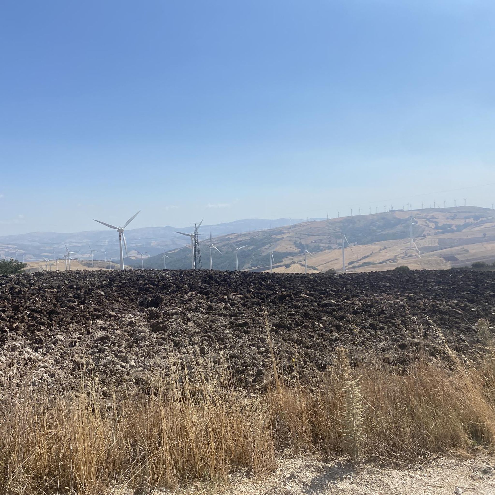
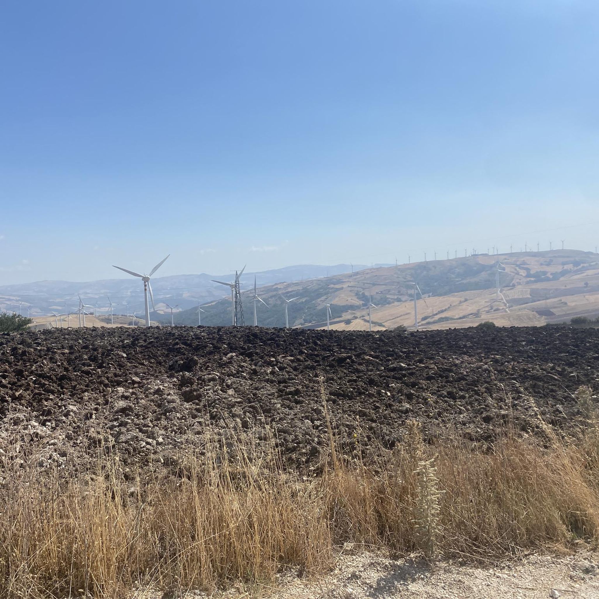
From this point, you can enjoy a good view of the Miscano Valley. There are also benches where you can rest.
3
0
It's not swimmable!
3
0

Excellent view from Buonalbergo on the territory of the province of Avellino. Useful for resting a few minutes along the SS90 delle Puglie in any direction you go
0
0

San Bartolomeo in Galdo is an Italian town in the province of Benevento, located in Campania, near the border with Puglia and Molise. It has ancient origins, dating back to the Roman and medieval periods, and has numerous historic buildings and churches, including the Church of San Bartolomeo Apostolo. The town is located in the hilly area of Val Fortore, surrounded by an agricultural landscape. Among the local traditions, there are religious celebrations and cultural events that involve the community.
0
0
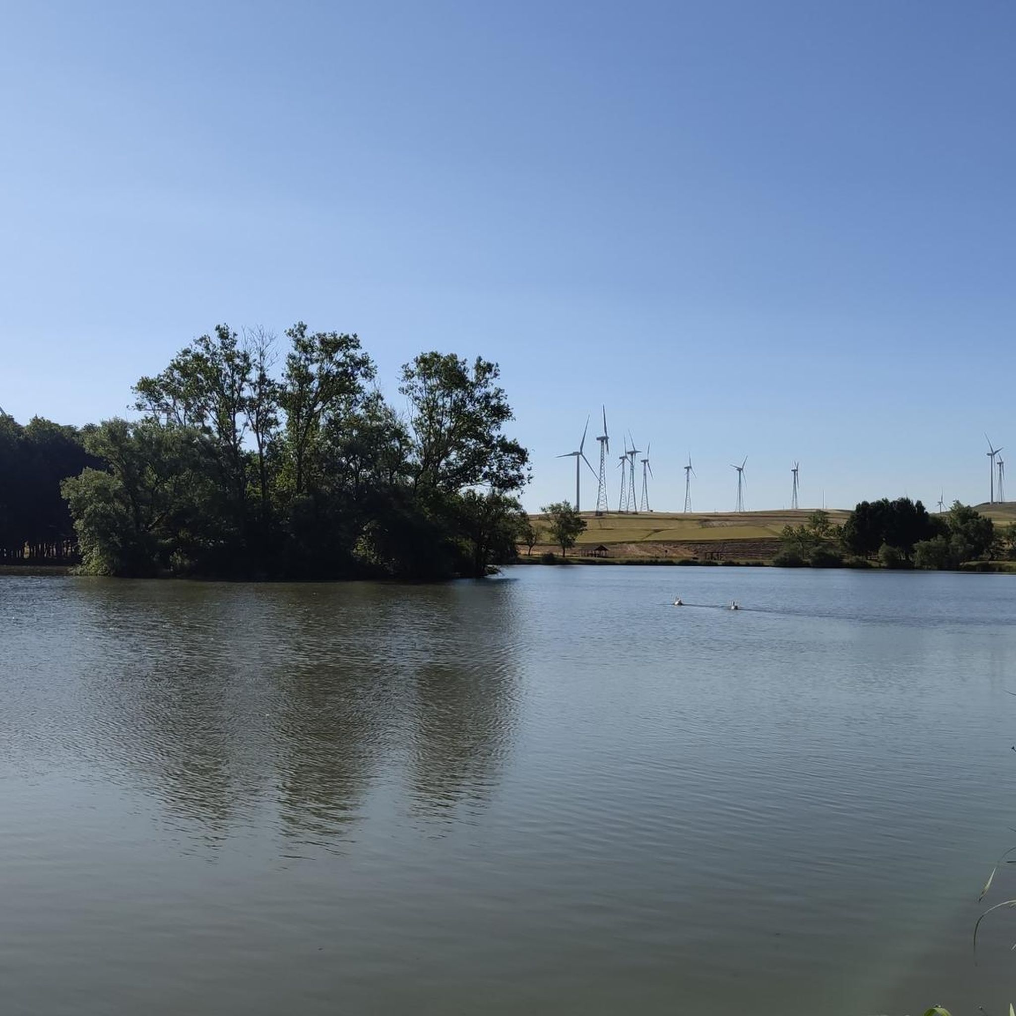
Pond with picnic area. For members it is also possible to fish. Be careful when you have a snack, two mallards will come to visit you 🦆, ready to scrounge up some food 😄
0
0

Small lake but very nice thanks to the nature that surrounds it located in the municipality of Colle Sannita.
1
0

Lake San Giorgio, also known as Lake Mignatta, is a semi-artificial basin in the municipality of San Giorgio la Molara. It is about 850 meters above sea level and there are several picnic areas where you can stop for a break.
1
0
Montefalcone di Val Fortore is a town in the province of Benevento, near the border between Campania and Puglia. The Fortore river is born in the municipal area and is the highest municipality in the province with the historic village located more than 800 meters above sea level.
2
0
Frequently Asked Questions
What kind of terrain can I expect when road cycling around San Giorgio La Molara?
The region around San Giorgio La Molara is characterized by a mountainous Apennine environment, offering diverse terrain with significant elevation changes. You'll encounter scenic routes through valleys of the Tammarecchia and Sanzano streams, with climbs leading to elevated points like Lake San Giorgio at approximately 900 meters above sea level. This makes for a rewarding experience for road cyclists seeking varied challenges.
Are there challenging road cycling routes available in the area?
Yes, San Giorgio La Molara offers a good selection of challenging road cycling routes. Out of the 26 routes available, 16 are rated as difficult. For instance, the Lago di Decorata – Lake San Giorgio loop from Foiano di Val Fortore is a difficult 44.6-mile (71.8 km) trail with significant climbs, offering views of Lake San Giorgio.
What are some scenic viewpoints or natural features to look out for on road cycling routes?
Cyclists can enjoy several scenic viewpoints and natural features. Lake San Giorgio (Lago Mignatta), situated at about 900 meters above sea level, offers serene views surrounded by meadows and ancient trees. The presence of the Fortore Wind Farm also indicates open, expansive landscapes, providing unique vistas during your ride.
Are there any cultural or historical landmarks accessible by road bike?
Yes, the region offers several cultural and historical points of interest. You can cycle towards nearby towns like Pietrelcina, famous as the birthplace of Saint Pio, or explore the area around Casalbore to see the 12th-century Norman Tower of Casalbore. Another nearby village, Buonalbergo, features the well-preserved Roman bridge, Ponte delle Chianche.
What is the best time of year for road cycling in San Giorgio La Molara?
Given the mountainous Apennine environment, the warmer months are generally ideal for road cycling around San Giorgio La Molara. Spring and autumn offer pleasant temperatures and vibrant landscapes, while summer provides consistent wind, which can be refreshing, especially in open areas like near the Fortore Wind Farm.
Are there any moderate road cycling routes for less experienced riders?
Yes, while many routes are challenging, there are also moderate options. For example, the Varco Aia delle Forche – Castello di Circello loop from San Marco dei Cavoti is a moderate 28.0-mile (45.0 km) trail that leads through the Apennine foothills, typically completed in about 2 hours and 6 minutes. There are 10 moderate routes in total.
Can I find loop routes for road cycling in this area?
Yes, many of the road cycling routes around San Giorgio La Molara are designed as loops, allowing you to start and finish in the same location. An example is the Roadbike loop from San Marco dei Cavoti, a moderate 44.4-mile (71.5 km) route.
What do other road cyclists say about the routes in San Giorgio La Molara?
The road cycling routes in San Giorgio La Molara are highly rated by the komoot community, with an average score of 5.0 stars from more than 5 reviews. Over 160 road cyclists have used komoot to explore the varied terrain, often praising the challenging climbs and scenic views of the Apennine landscape.
Are there any places to eat or refresh along the road cycling routes?
While specific cafes on routes are not detailed, the region has local establishments. For example, the Tavern of the Transhumance of Monte Chiodo on the Tratturo is a restaurant in the area that could serve as a stop. Exploring the towns and villages along your chosen route will likely reveal local eateries.
How many road cycling routes are available around San Giorgio La Molara?
There are over 25 road cycling routes available around San Giorgio La Molara, offering a range of distances and difficulties to suit different preferences.
Is there a route that explores multiple villages in the region?
Yes, the Cercemaggiore – Gildone Village loop from San Marco dei Cavoti is a difficult 64.4-mile (103.7 km) path that winds through regional villages, offering expansive landscapes and a chance to experience the broader regional culture.
Most popular attractions around San Giorgio La Molara

Get inspired with the komoot mobile app


Explore more
Browse the best Road cycling routes in other regions.
