The best road cycling routes around Schrattenthal
4.3
(19)
722
riders
117
rides
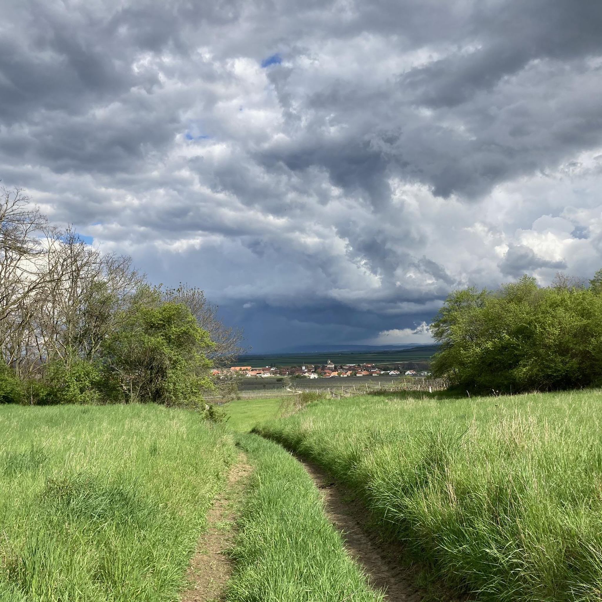
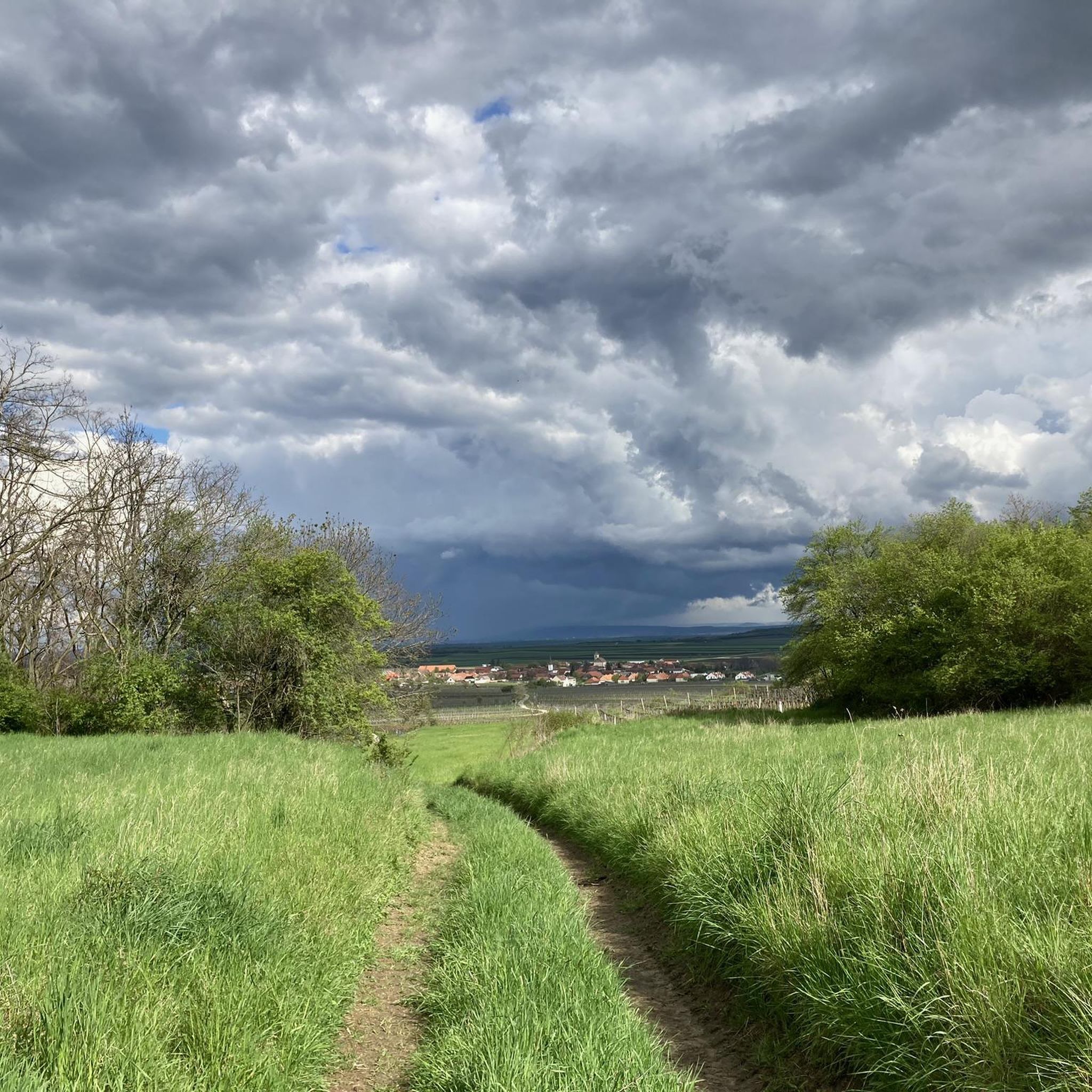
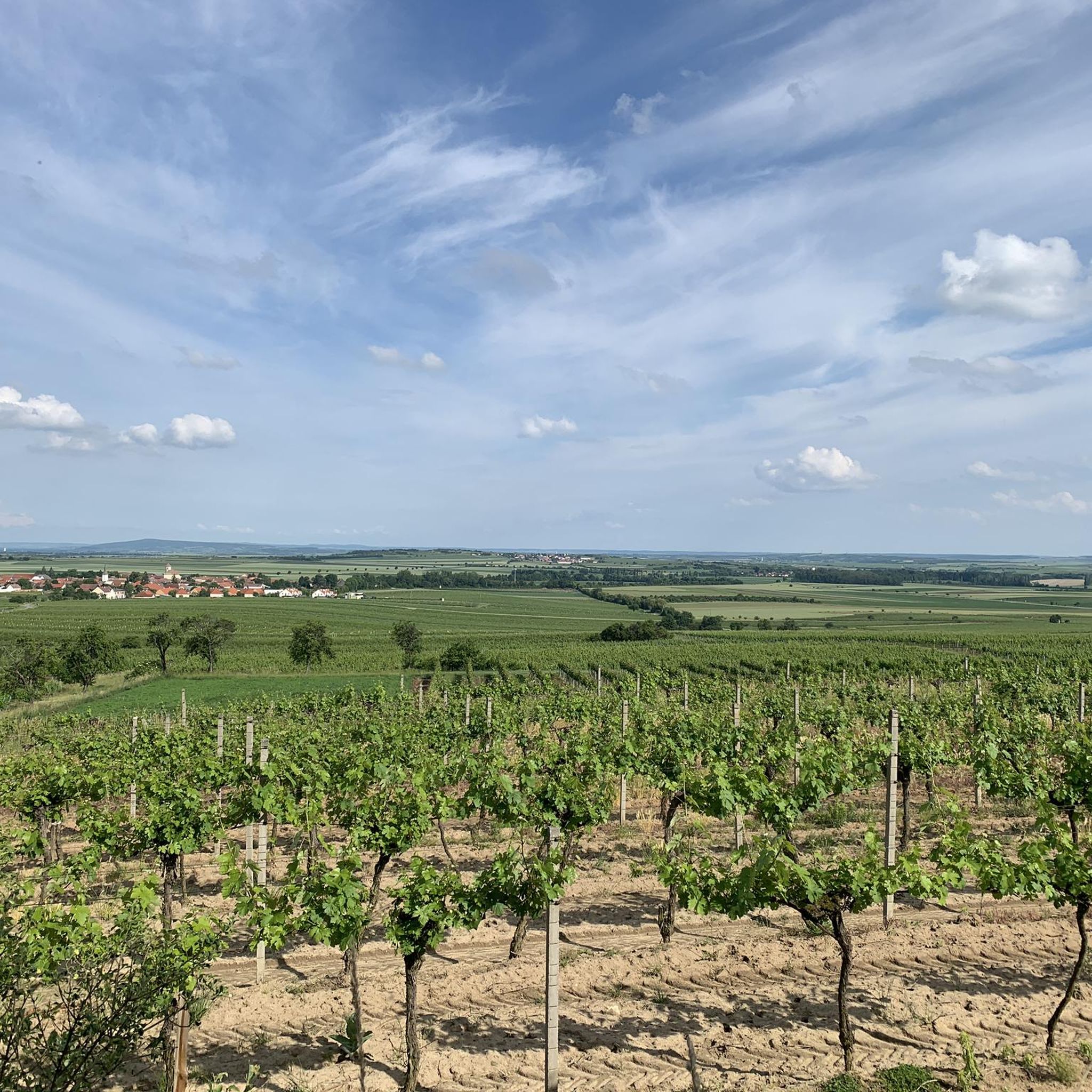
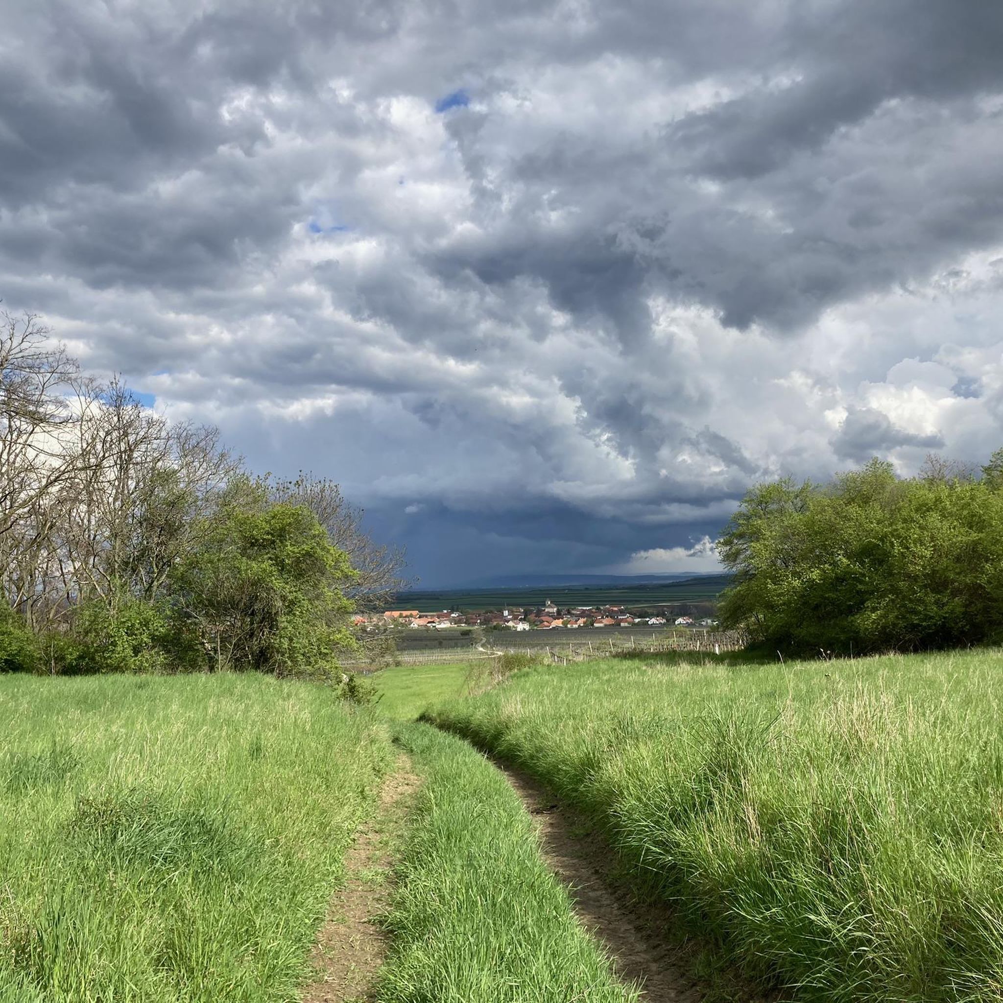
Road cycling around Schrattenthal features routes through the rolling hills and agricultural landscapes of the Weinviertel region. The terrain is characterized by gentle ascents and descents, often passing through vineyards and small villages. Road cyclists can expect a network of paved roads connecting historic towns and natural areas. The region offers varied topography suitable for different levels of road cycling experience.
Best road cycling routes around Schrattenthal
- The most popular road cycling route is Schloss Niederfladnitz – Geras Abbey loop from Niederfladnitz, a 34.3 miles (55.2 km) trail that takes 2 hours 17 minutes to complete. This route offers views of historic landmarks and rural scenery.
- Another top favourite among local road cyclists is Old Town Hall – Retz Main Square loop from Schrattenthal, a moderate 18.5 miles (29.8 km) path. This route traverses open fields and connects charming town centers.
- Local road cyclists also love the Celtic Tower Sandberg – Schrattenthal Castle loop from Schrattenthal, a 32.9 miles (52.9 km) trail leading through vineyards and past historic castles, often completed in about 2 hours 17 minutes.
- Road cycling around Schrattenthal is defined by rolling hills, extensive vineyards, and agricultural plains. The network offers options for easy, moderate, and difficult routes, catering to various ability levels.
- The routes in Schrattenthal are highly rated by the komoot community with an average score of 4.4 stars from over 10 reviews. More than 700 road cyclists have used komoot to explore Schrattenthal's varied terrain.
Last updated: July 2, 2026
4.0
(1)
68
riders
58.6km
02:45
730m
730m
Moderate road ride. Good fitness required. Mostly well-paved surfaces and easy to ride.
5.0
(1)
54
riders
43.1km
01:54
350m
350m
Moderate road ride. Good fitness required. Some segments of this route may be unpaved and difficult to ride.

Sign up for free
5.0
(1)
46
riders
77.8km
03:33
630m
630m
Moderate road ride. Good fitness required. Mostly well-paved surfaces and easy to ride.
5.0
(1)
29
riders
50.6km
02:28
720m
720m
Moderate road ride. Good fitness required. Mostly well-paved surfaces and easy to ride.
5.0
(1)
31
riders
85.5km
03:24
290m
290m
Moderate road ride. Good fitness required. Mostly well-paved surfaces and easy to ride.
Get access to more routes and recommendations from other explorers.
Sign up for free
Already have an account?
Our route recommendations are based on thousands of hikes, rides, and runs completed by other people on komoot.
Start today with a free account
Your next adventure awaits.
Login or Signup
Tips from the Community

Magnificent Neo-Renaissance town hall from 1898.
0
0


A beautiful view of the center of the city of Znaim.
0
0
A very beautiful view from the river valley up to the city.
0
0
A very beautiful view from the river valley up to the city.
0
0
Very interesting building. You can climb the tower and get a view over Retz.
0
0
Very nice place in front of the Retz town hall
0
0

Impressive building in Laa/Thaya
0
0
Frequently Asked Questions
What are the typical difficulty levels for road cycling routes around Schrattenthal?
The Schrattenthal area offers a diverse range of road cycling routes suitable for various skill levels. You'll find approximately 15 easy routes, 85 moderate routes, and 20 more challenging options. The terrain is generally characterized by rolling hills and gentle ascents and descents, making it accessible for many cyclists.
What kind of distances can I expect on road cycling routes in Schrattenthal?
Road cycling routes in Schrattenthal vary in length. For example, the Old Town Hall – Retz Main Square loop from Schrattenthal is a moderate 18.5 miles (29.8 km) ride. Longer options include the Schloss Niederfladnitz – Geras Abbey loop from Niederfladnitz at 34.3 miles (55.2 km), and the Celtic Tower Sandberg – Schrattenthal Castle loop from Schrattenthal, which covers 32.9 miles (52.9 km).
Are there family-friendly road cycling routes in Schrattenthal?
Yes, with 15 easy routes available, Schrattenthal offers options suitable for families or those looking for a more relaxed ride. These routes often traverse agricultural plains and connect charming villages, providing a pleasant experience without overly strenuous climbs.
What is the best time of year for road cycling in Schrattenthal?
The rolling hills and vineyards of Schrattenthal are particularly enjoyable for road cycling during the spring, summer, and early autumn months. These seasons offer pleasant temperatures and vibrant scenery, ideal for exploring the region's landscapes and historic towns.
Are there circular road cycling routes available in Schrattenthal?
Many of the road cycling routes in Schrattenthal are designed as loops, allowing you to start and end in the same location. Examples include the popular Schloss Niederfladnitz – Geras Abbey loop from Niederfladnitz and the Old Town Hall – Retz Main Square loop from Schrattenthal.
What interesting landmarks or natural sights can I see along the road cycling routes?
Road cycling routes around Schrattenthal often pass by historic sites and natural monuments. You might encounter the Holy stone with former pilgrimage church, the Roseldorf Rest Area and Biotope, or the Maria-Bründl Spring and the Lourdes Grotto. Some routes also offer views of the Celtic Tower Sandberg or the Europawarte Waitzendorf Observation Tower.
What do other road cyclists enjoy most about road cycling in Schrattenthal?
The area is highly rated by the komoot community, with an average score of 4.4 stars from over 10 reviews. Cyclists often praise the scenic routes through vineyards and small villages, the varied topography suitable for different levels, and the network of paved roads connecting historic towns.
How many road cycling routes are available in the Schrattenthal area?
There are over 120 road cycling routes documented around Schrattenthal, offering a wide selection for cyclists to explore the Weinviertel region's landscapes.
Are there any routes that offer significant elevation gain for advanced cyclists?
While the region is known for rolling hills, some routes do offer more significant climbs. For instance, the Eggenburg town centre – Hollerberg loop from Pulkau features an elevation gain of nearly 500 meters, providing a good challenge for advanced riders.
Can I find places to stop for refreshments or food along the road cycling routes?
The routes often pass through small villages and connect charming town centers like Retz and Pulkau. These towns typically offer cafes, restaurants, and local shops where you can stop for refreshments, especially in the heart of the Weinviertel wine region.
Are there any easy road cycling routes suitable for a leisurely ride?
Absolutely. Approximately 15 of the routes are classified as easy. A good example is the Schrattenthal Castle – Pulkau town center loop from Pulkau, which is 19 miles (30.5 km) long with moderate elevation changes, perfect for a relaxed outing.
Most popular routes around Schrattenthal
Most popular attractions around Schrattenthal

Get inspired with the komoot mobile app


Explore more
Browse the best Road cycling routes in other regions.
