The best walks and hikes around Bucciano
4.3
(164)
500
hikers
42
hikes
Hiking around Bucciano offers trails through the mountainous terrain of Monte Taburno, characterized by forested slopes and varied elevations. The region's landscape includes both gentle paths and more challenging ascents, providing diverse hiking experiences. Trails often lead through natural areas, showcasing the local flora and geological formations. The area is well-suited for exploring the natural environment on foot.
Best hiking trails around Bucciano
- The most popular hiking route is San Simeone - Santuario del Taburno Trail, an easy 2.4…
Last updated: August 17, 2026
4.2
(9)
18
hikers
3.84km
01:16
170m
180m
Easy hike. Great for any fitness level. Easily-accessible paths. Suitable for all skill levels.
4.4
(22)
81
hikers
11.0km
03:38
390m
390m
Moderate hike. Good fitness required. Mostly accessible paths. Sure-footedness required.

Sign up for free
4.0
(6)
11
hikers
14.5km
04:17
410m
410m
Moderate hike. Good fitness required. Easily-accessible paths. Suitable for all skill levels.
3.5
(2)
13
hikers
12.8km
05:53
850m
850m
Hard hike. Very good fitness required. Sure-footedness, sturdy shoes and alpine experience required.
4.5
(4)
9
hikers
5.57km
02:29
330m
330m
Moderate hike. Good fitness required. Mostly accessible paths. Sure-footedness required.
Get access to more routes and recommendations from other explorers.
Sign up for free
Already have an account?
Our route recommendations are based on thousands of hikes, rides, and runs completed by other people on komoot.
Start today with a free account
Your next adventure awaits.
Login or Signup
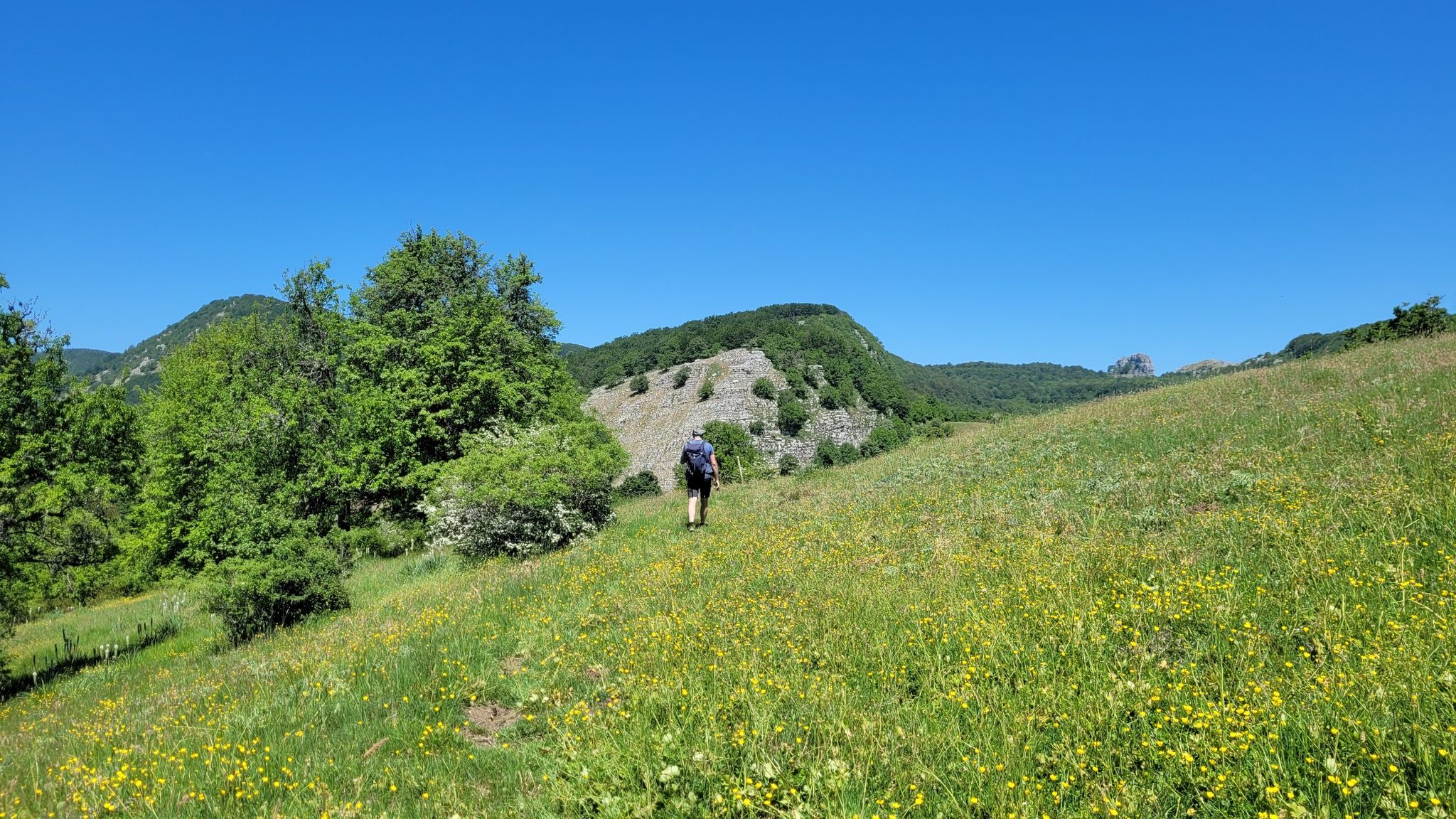
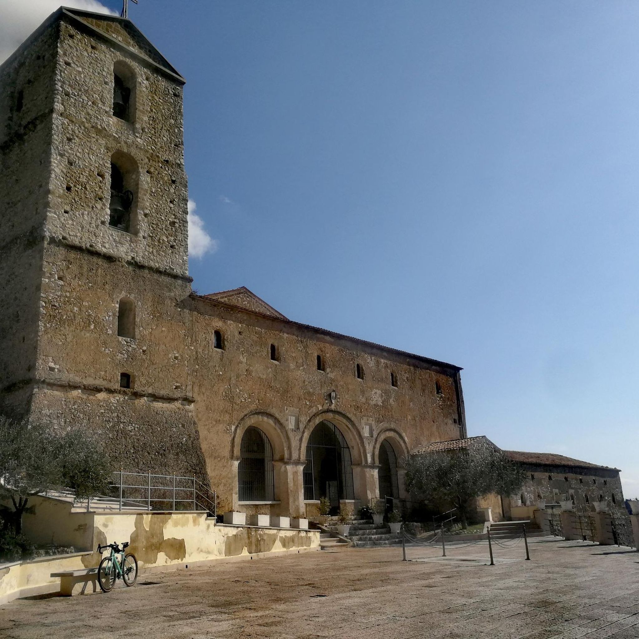
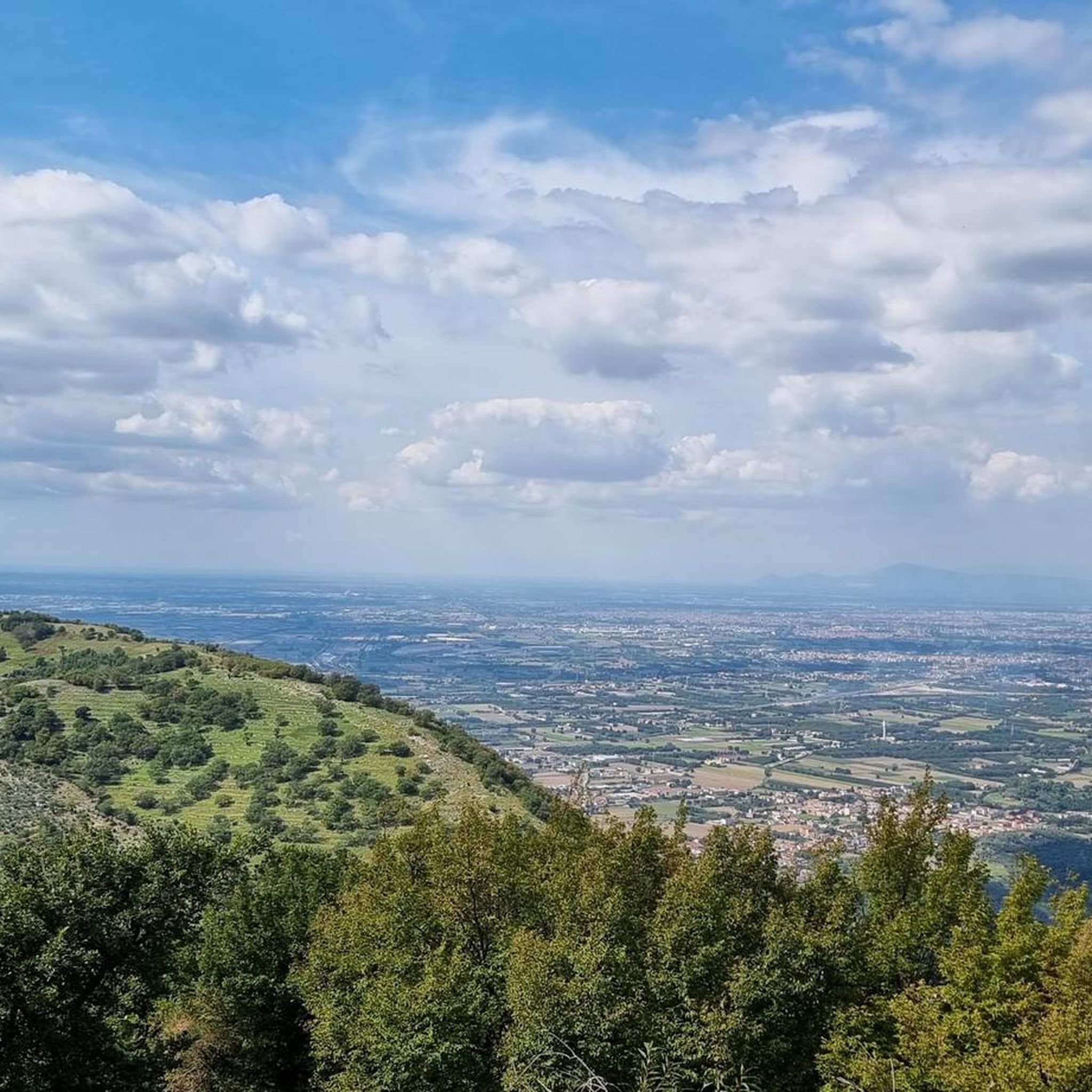

Other adventures around Bucciano

Tips from the Community

Don't venture out in sneakers: you need shoes with good grip
0
0
From the path leading from the Grotto of San Simeone to the Sanctuary of the Madonna del Taburno, a barely visible and poorly marked trail ascends from an altitude of 550 meters to 870 meters. The final section is a via ferrata with a steel cable and iron steps that allow you to climb into the cave where the bandit Mauro Francesco, known as 'O'Scialato, lived. This is a very rugged and picturesque route.
0
0
Panoramic view of Serratella
0
0


The park is located within the massif of Mount Taburno in the Campanian Apennines in the province of Benevento. The highest peak of the massif is precisely Mount Taburno with its 1394 m a.s.l.
1
0

The cave, located in the rocks of Monte Taburno, was already used as a place of worship in the Middle Ages. Inside there is a fresco from 1601, making this cave not only interesting from a geological and historical point of view, but also from an artistic point of view.
3
0
This sanctuary is located at 544m, and was created in 1498, in honor of the apparition of a miraculous statue of the Madonna - today there are still the remains of a fresco of the Madonna.
2
0
At about 1,160 meters above sea level there are the ruins of this Casermetta. This barracks was used by royalty during hunting trips, but it was also the shelter of several brigands (in fact it is also known as the Casina dei briganti). Going north-west you arrive at the Laiano paths.
2
0
Frequently Asked Questions
How many hiking trails are available in Bucciano?
Bucciano offers a selection of over 30 hiking trails, catering to various skill levels. You'll find a mix of easy, moderate, and difficult routes to explore the mountainous terrain.
Are there easy hiking trails suitable for beginners in Bucciano?
Yes, Bucciano has several easy hiking trails. One popular option is the San Simeone - Santuario del Taburno Trail, which is an easy 2.4-mile (3.8 km) route featuring a steady climb towards the Santuario del Taburno.
Are there many circular hiking routes in Bucciano?
Many of the trails in Bucciano are designed as loops, offering varied scenery without retracing your steps. For example, the Monte Taburno loop from Monte Taburno is a moderate 8.0-mile (12.8 km) path that provides panoramic views as it circumnavigates Monte Taburno.
What kind of natural attractions can I see along the hiking trails in Bucciano?
The trails often lead through natural areas showcasing local flora and geological formations. You can explore highlights like the San Simeone Cave or experience the expansive Taburno Camposauro Regional Park. Many routes also offer elevated viewpoints such as Dottoriello: Mayor’s viewpoint.
Are there any historical or cultural landmarks near the hiking routes?
Yes, the region around Bucciano is rich in history. You might encounter landmarks like the ancient Castello di Arienzo (Castem Vetus) or the significant Sanctuary of Mary Most Holy of Taburno. The charming settlements of Sant'Agata dei Goti and Montesarchio are also nearby.
What do other hikers enjoy most about hiking in Bucciano?
The hiking routes in Bucciano are highly rated by the komoot community, with an average score of 4.4 stars from over 130 reviews. Hikers frequently praise the diverse terrain, from forested slopes to challenging ascents, and the panoramic views offered by routes like the Monte Taburno loop.
Are there family-friendly hiking options in Bucciano?
While many trails involve mountainous terrain, there are easier routes that can be suitable for families. The San Simeone - Santuario del Taburno Trail is an easy option that offers a manageable distance and elevation gain.
What is the best time of year to hike in Bucciano?
The mountainous terrain of Bucciano is generally best enjoyed during spring and autumn when temperatures are milder. Summer can be warm, especially on exposed sections, while winter may bring colder conditions and potential snow at higher elevations on Monte Taburno.
Are dogs allowed on the hiking trails in Bucciano?
Generally, dogs are welcome on hiking trails in natural areas around Bucciano, especially within the Taburno Camposauro Regional Park. However, it's always advisable to keep them on a leash and check for any specific local regulations or protected areas that might have restrictions.
Are there any challenging hikes for experienced hikers?
Yes, for experienced hikers seeking a challenge, Bucciano offers more difficult ascents. The Grotta U'Vallanese – San Simeone Cave loop from Bucciano is a difficult 8.1-mile (13 km) trail with significant elevation gain, providing a strenuous but rewarding experience.
What should I wear for summer hiking in Bucciano?
For summer hiking in Bucciano, lightweight, breathable clothing is recommended. Given the mountainous terrain, sturdy hiking shoes with good grip are essential. Don't forget sun protection like a hat, sunglasses, and sunscreen, and always carry plenty of water.
Are there any less-known or 'hidden gem' trails in Bucciano?
While the main trails are well-loved, exploring the broader network within the Taburno Camposauro Regional Park can reveal quieter paths. Routes like the Campo Ceppino – Quattro Vie – Monte Taburno loop offer a comprehensive experience of the area's diverse landscapes, potentially leading to less frequented sections.
Most popular attractions around Bucciano

Get inspired with the komoot mobile app


Explore more
Browse the best Hikes in other regions.
