The best walks and hikes around Frasso Telesino
4.3
(153)
497
hikers
55
hikes
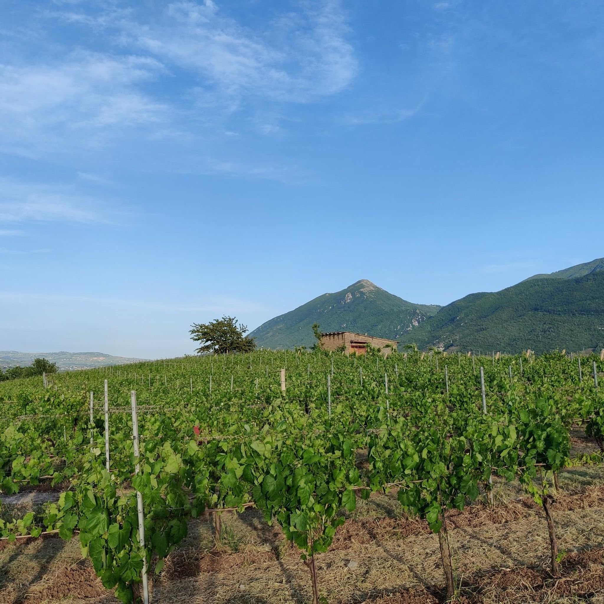
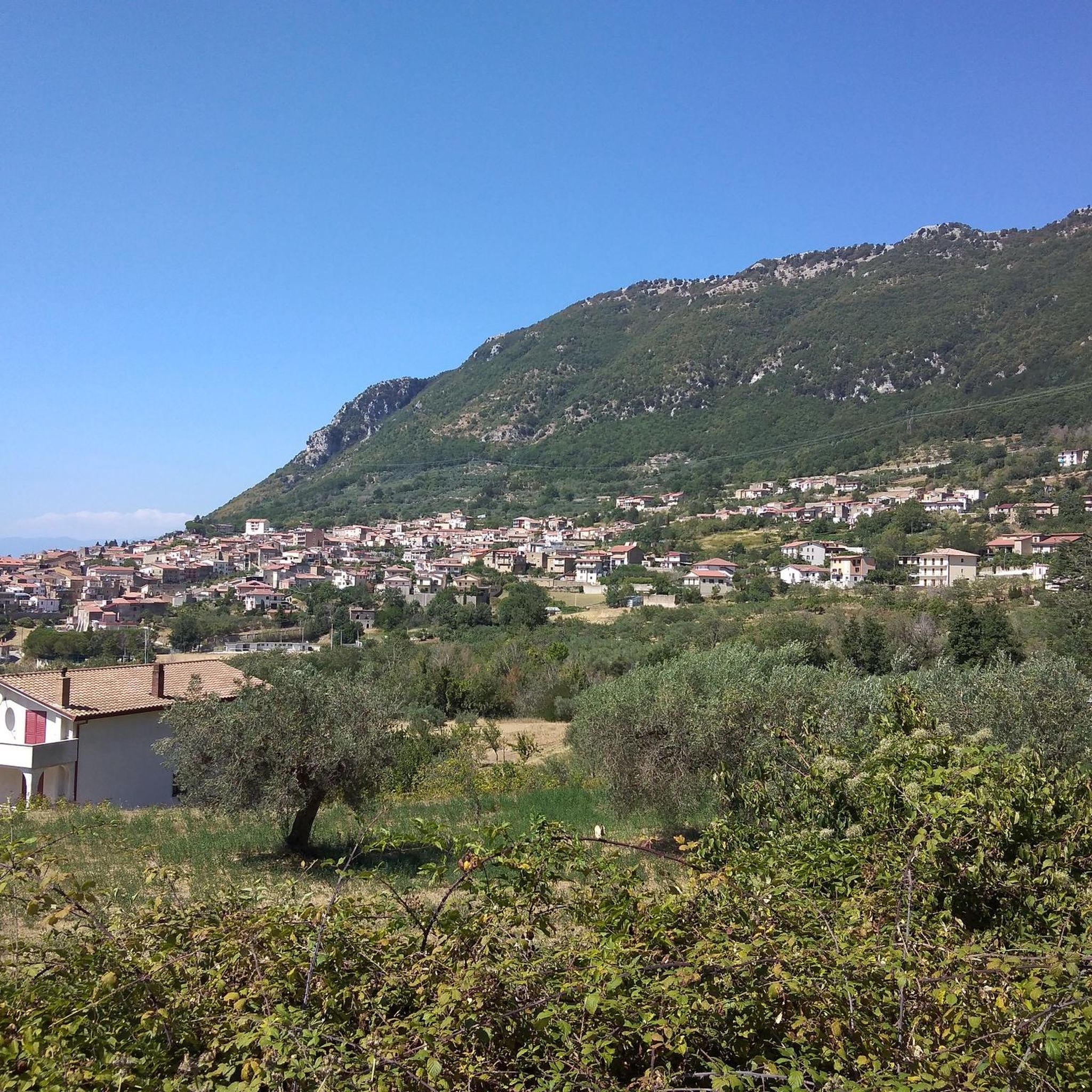
Hiking trails around Frasso Telesino are set within the Province of Benevento, offering diverse landscapes for outdoor enthusiasts. The region is situated on the western slopes of the Monte Taburno, providing a mountainous backdrop with significant elevation changes, ranging from 65 to 1220 meters. Hikers can explore rocky peaks like Monte Sant'Angelo and Monte Pentime, as well as the tranquil Telesina Valley with its natural lake. This varied topography includes extensive trail networks within the Taburno-Camposauro Massif.
Best hiking trails…
Last updated: July 1, 2026
4.6
(21)
39
hikers
6.84km
01:57
170m
160m
This easy 4.2-mile loop hike in Taburno Camposauro Regional Park offers panoramic views, historical ruins, and diverse forest scenery.
4.5
(6)
23
hikers
12.5km
03:36
310m
310m
Moderate hike. Good fitness required. Easily-accessible paths. Suitable for all skill levels.

Sign up for free
3.8
(6)
13
hikers
6.89km
02:07
240m
240m
Moderate hike. Good fitness required. Easily-accessible paths. Suitable for all skill levels.
3.3
(3)
9
hikers
12.1km
03:40
410m
410m
Moderate hike. Good fitness required. Easily-accessible paths. Suitable for all skill levels.
5.0
(3)
9
hikers
3.68km
01:03
80m
80m
Easy hike. Great for any fitness level. Easily-accessible paths. Suitable for all skill levels.
Get access to more routes and recommendations from other explorers.
Sign up for free
Already have an account?
Our route recommendations are based on thousands of hikes, rides, and runs completed by other people on komoot.
Start today with a free account
Your next adventure awaits.
Login or Signup

Tips from the Community

very beautiful path, rich in vegetation and very suggestive
0
0

a small clearing, located before the path that leads to the hermitage of San Michele, with some picnic tables
0
0
a large clearing in the middle of the woods, with a few picnic tables
0
0

Hermitage set in the rock which is just over a thousand meters above sea level. An ancient place probably dating back to the Lombard era.
2
0
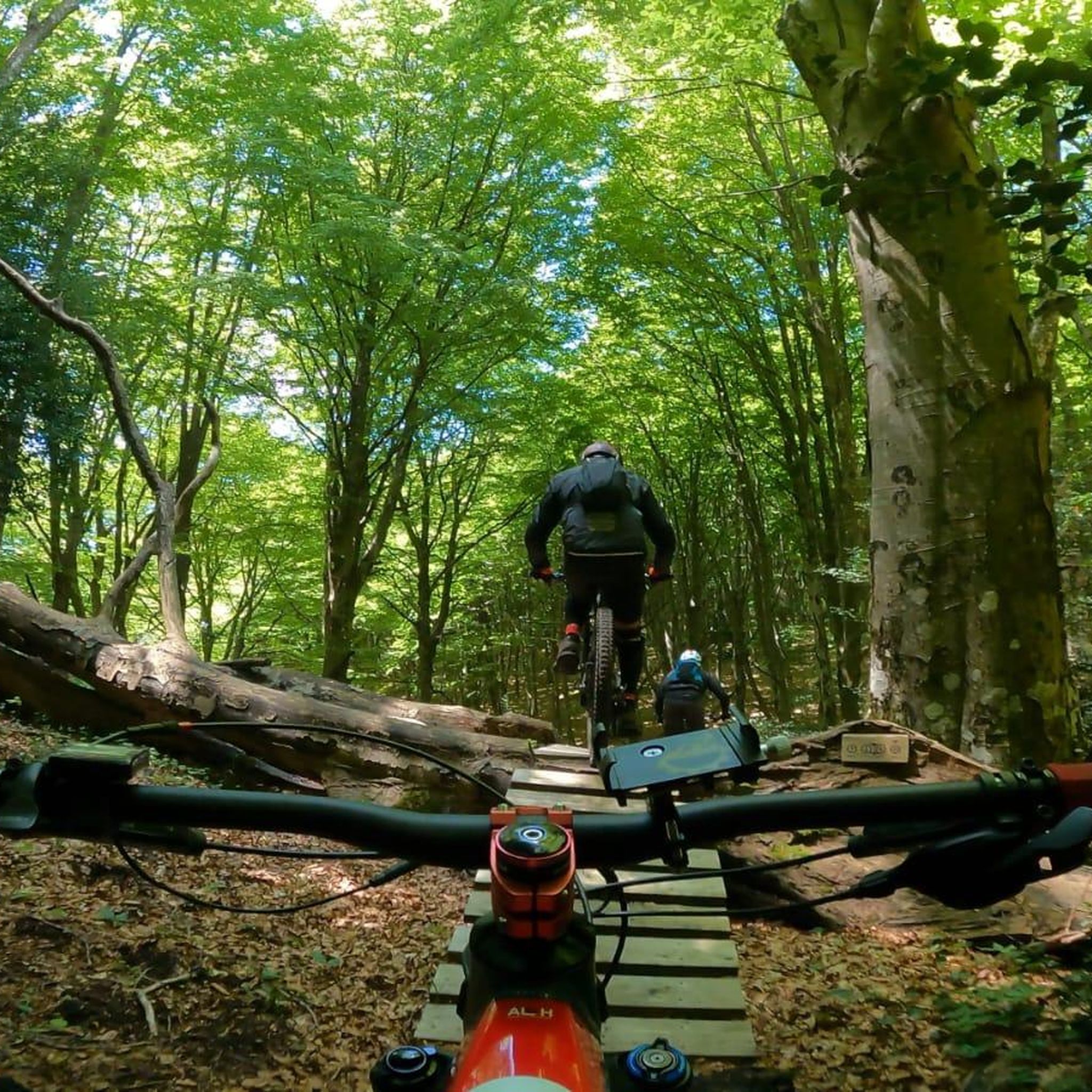
A regional park located on the Taburno Camposauro massif in the province of Benevento. A destination much appreciated by hikers and cyclists for the beauty of its beech woods and the views of the plain below.
1
0

This is the heart of the Taburno Camposauro Regional Park, just below the summit of Monte Camposauro which can be reached by a gravel road turning off at the Chapel of Santa Barbara. There is a fountain and some picnic tables.
1
0

This regional park was established in 2002 and is located in the province of Benevento. It takes its name from the two highest peaks: the Taburno mountains (1,394 m) and Camposauro (1,388 m). Inside the protected area, vast open spaces alternate with thick woods, especially beech woods.
1
0
The hermitage is located within the Taburno-Camposauro Regional Park. To reach it, it is necessary to take path 720, immersed in a thick and wonderful forest. The structure is leaned against the majestic limestone rock walls. A beautiful discovery!
2
0
Frequently Asked Questions
How many hiking trails are available around Frasso Telesino?
There are over 40 hiking trails around Frasso Telesino, offering a wide range of experiences for different skill levels. You'll find everything from easy strolls to more challenging mountain ascents.
What types of landscapes can I expect to see while hiking in Frasso Telesino?
Frasso Telesino offers diverse landscapes, from the rugged peaks of the Monte Taburno-Camposauro Massif, including Monte Sant'Angelo and Monte Pentime, to the tranquil Lake Telese in the Telesina Valley. You'll encounter rocky terrain, dense forests, and open valleys like Vallone di Prata.
Are there any easy hiking trails suitable for beginners or families?
Yes, Frasso Telesino has 11 easy hiking trails. A great option for a leisurely walk is the Tuoro Alto Ring Trail, which is an easy 6.8 km circular route. The path around Lake Telese is also perfect for a gentle, one-kilometer stroll.
Can I find circular hiking routes in Frasso Telesino?
Yes, many of the trails in Frasso Telesino are circular. For example, the Tuoro Alto Ring Trail is an easy circular route, and the Fountain of the Trinity – Pizzo dei Favi loop from Rifugio Vitulano offers a moderate circular experience.
What are some notable natural attractions or landmarks to see on the trails?
Hikers can explore several interesting landmarks. The Monte Pentime Summit Cross offers breathtaking panoramic views. You can also discover the San Simeone Cave, known for its historical and artistic value, or the ancient Hermitage of San Menna.
Are there any trails that lead to scenic viewpoints?
Absolutely. The hike to Monte Pentime Summit Cross is highly recommended for its panoramic views, especially at dawn. Many routes within the Taburno-Camposauro Massif also offer expansive vistas of the surrounding region.
What do other hikers say about the trails in Frasso Telesino?
The trails in Frasso Telesino are highly rated by the komoot community, with an average score of 4.2 stars from over 130 reviews. Hikers often praise the diverse scenery, from mountainous ascents to tranquil valley paths, and the well-maintained network of routes.
Are there any trails that pass by water features?
Yes, the natural Lake Telese in the Telesina Valley has a beautiful one-kilometer path encircling it, perfect for a leisurely walk. While bathing is not permitted, it offers a serene waterside experience.
Are the hiking trails in Frasso Telesino suitable for dogs?
While specific dog-friendly designations vary by trail, many natural areas in Frasso Telesino are generally welcoming to dogs, provided they are kept on a leash and owners clean up after them. Always check local regulations for specific routes within the regional park.
What is the elevation range for hiking in Frasso Telesino?
The region of Frasso Telesino features significant elevation changes, with terrain ranging from 65 meters to 1220 meters above sea level. This varied topography ensures a wide array of hiking experiences, from gentle valley walks to more strenuous mountain climbs.
Are there any moderate difficulty hikes for those looking for a bit more challenge?
Yes, there are 27 moderate trails available. A good option is the Pizzo dei Favi – Fountain of the Trinity loop from Altaquota, a 6.9 km route that takes about 2 hours and 7 minutes to complete and leads through varied terrain.
Can I find trails that explore both natural beauty and historical sites?
Many trails in the region combine natural beauty with historical interest. For instance, routes on the Taburno-Camposauro massif can lead to ancient sites like the Hermitage of San Menna, while the San Simeone Cave offers a glimpse into both geological and historical significance.
Most popular attractions around Frasso Telesino

Get inspired with the komoot mobile app


Explore more
Browse the best Hikes in other regions.
