The best road cycling routes around Villa Di Tirano
4.5
(345)
18,602
riders
12
rides
Road cycling routes around Villa Di Tirano are set within Italy's Middle Valtellina, characterized by the surrounding Rhaetian and Orobie Alps which provide challenging ascents and dramatic backdrops. The region features lush vineyards, apple orchards, and the Adda River, alongside which runs the Sentiero Valtellina cycling path. This landscape offers a blend of demanding mountain passes and gentler valley routes.
Best road cycling routes around Villa Di Tirano
- The most popular road cycling route is Bernina Pass – Foscagno Pass…
Last updated: October 11, 2026
4.8
(19)
2,747
riders
135km
07:29
2,980m
2,980m
Hard road ride. Very good fitness required. Mostly well-paved surfaces and easy to ride.
4.4
(7)
661
riders
87.0km
05:29
2,390m
2,390m
Hard road ride. Very good fitness required. Mostly well-paved surfaces and easy to ride.

4.1
(8)
345
riders
62.7km
03:21
1,050m
1,050m
Hard road ride. Very good fitness required. Mostly well-paved surfaces and easy to ride.
4.2
(5)
88
riders
Easy road ride. Great for any fitness level. Mostly well-paved surfaces and easy to ride.
4.5
(2)
78
riders
18.8km
01:14
450m
450m
Moderate road ride. Good fitness required. Some segments of this route may be unpaved and difficult to ride.
Get access to more routes and recommendations from other explorers.
Already have an account?
Our route recommendations are based on thousands of hikes, rides, and runs completed by other people on komoot.
Start today with a free account
Your next adventure awaits.
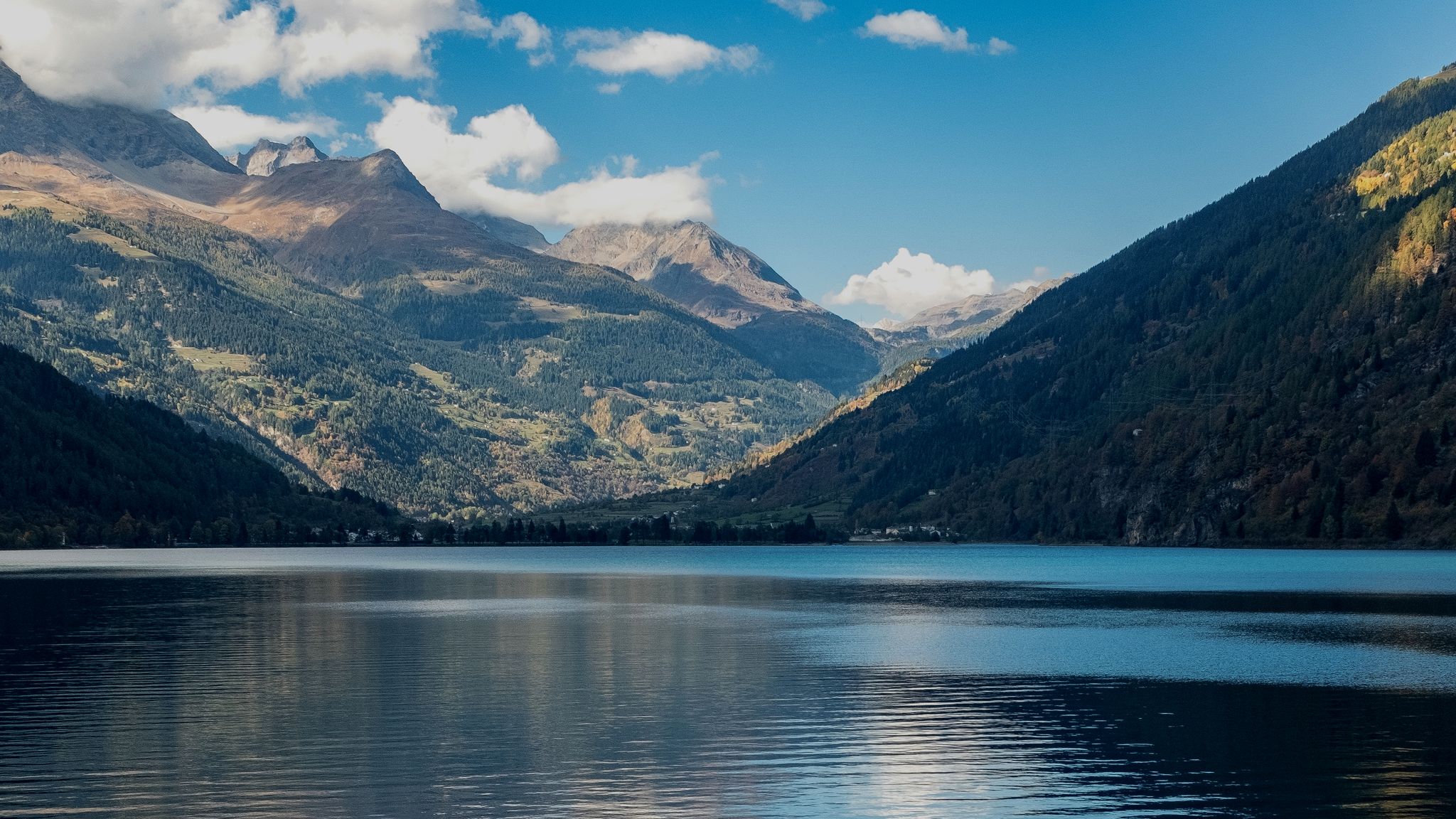
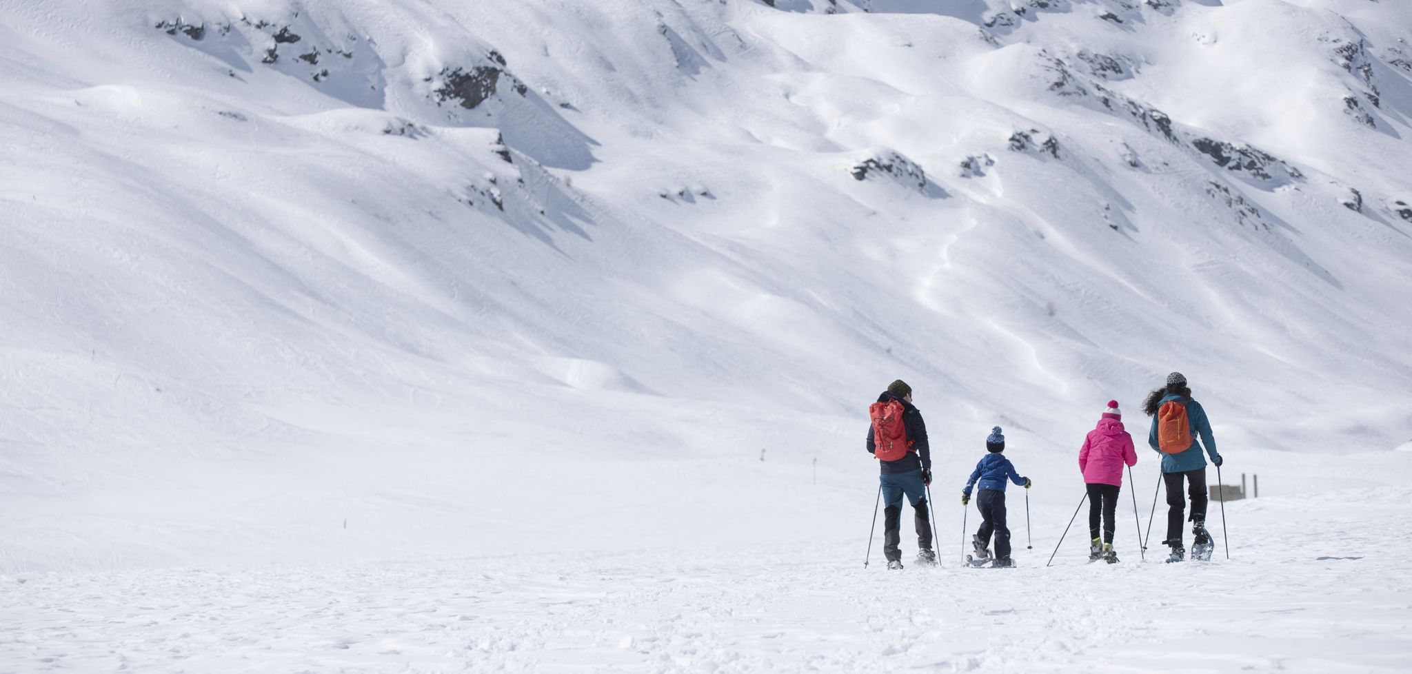
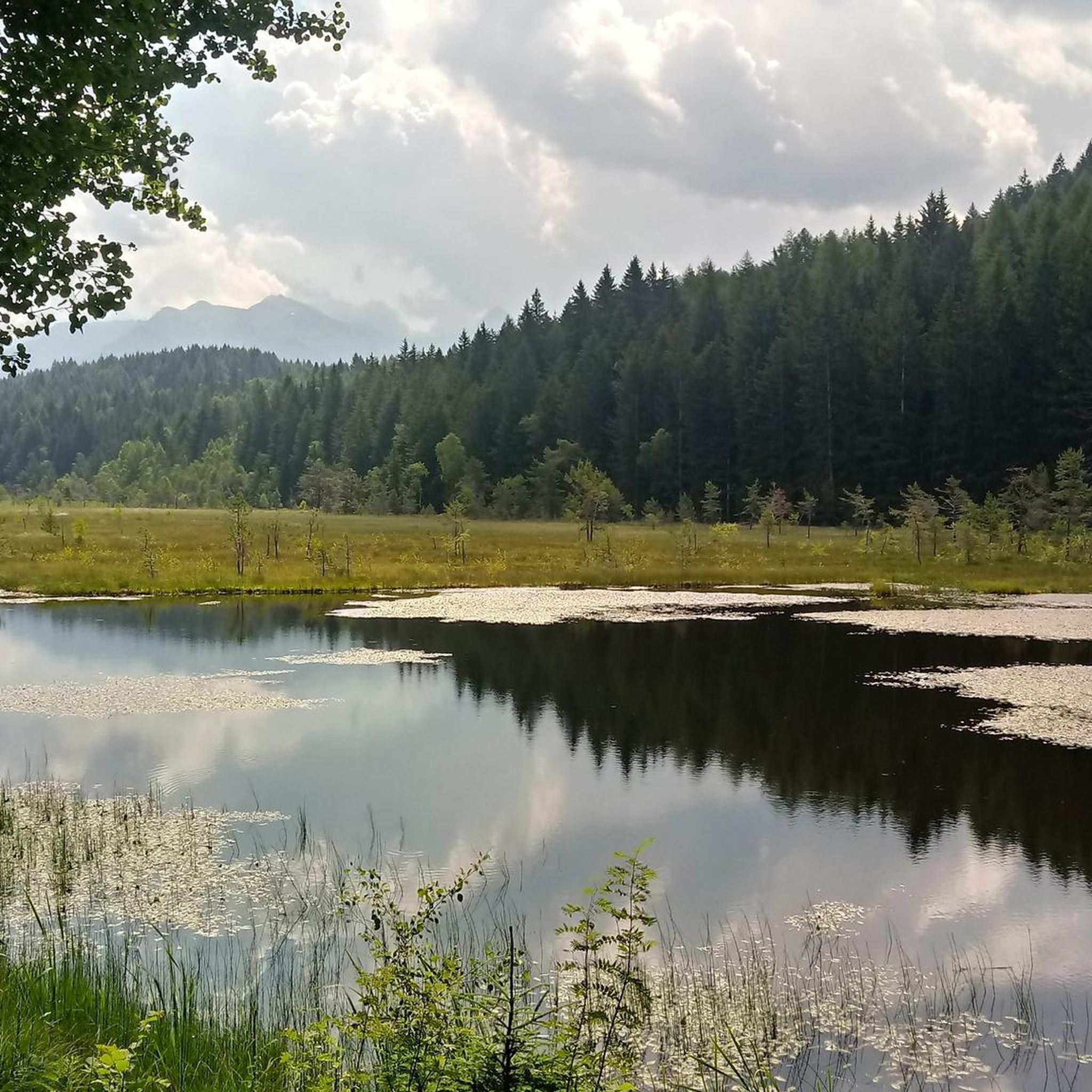
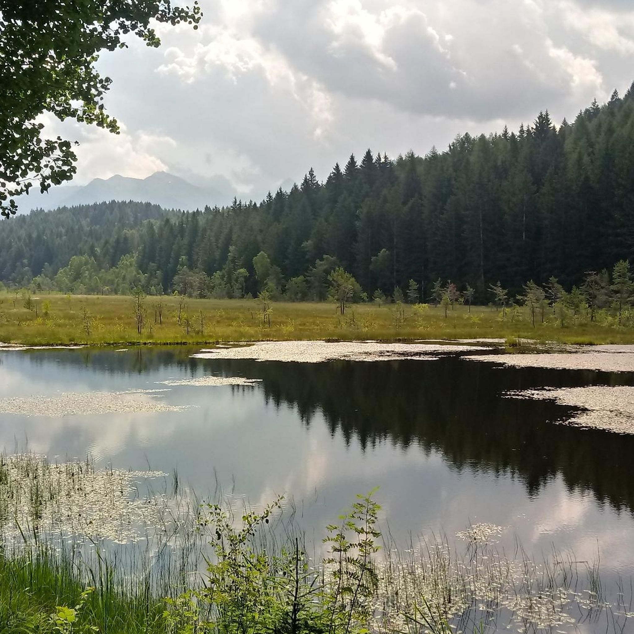
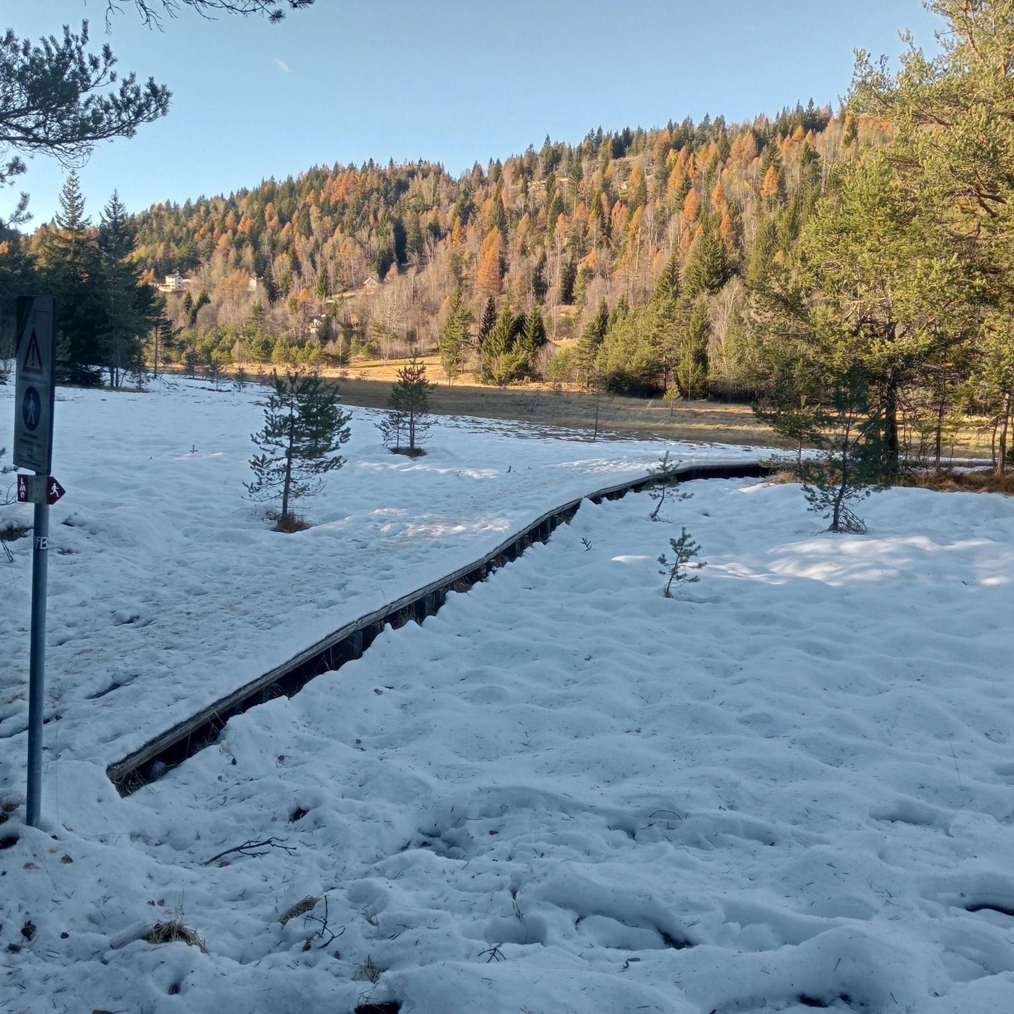
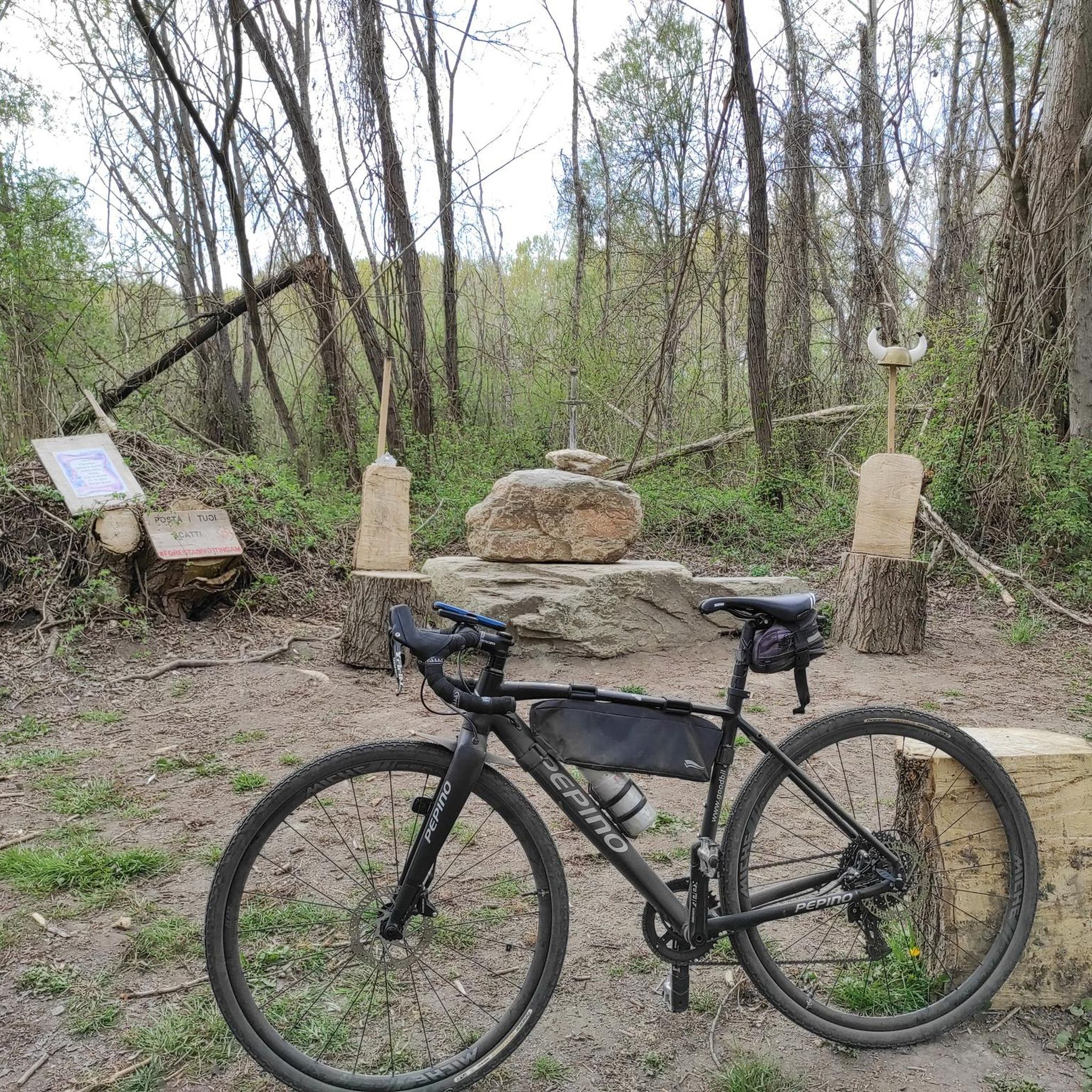
Other adventures around Villa Di Tirano


Tips from the Community

Post reachable from several directions
0
0
Much loved by the people of Valtellina, only one problem for road bike lovers... you might encounter protruding roots on the asphalt surface in certain sections.
0
0
Beautiful mule track among the vineyards.
0
0


Clean rest area with a bike rack.
0
0

excellent starting point for many bike rides with parking
0
0

From here the climb to the Stelvio officially begins, 1500 meters of altitude difference up to the pass, to be enjoyed by all
0
0

Frequently Asked Questions
How many road cycling routes are available around Villa di Tirano?
There are nearly 80 road cycling routes around Villa di Tirano, offering a wide range of options. These include 16 easy routes, 31 moderate routes, and 31 difficult routes, catering to various fitness levels and preferences.
What kind of terrain can I expect on road cycling routes near Villa di Tirano?
The terrain around Villa di Tirano is incredibly diverse. You'll find challenging ascents through the Rhaetian and Orobie Alps, picturesque rides through lush vineyards and apple orchards, and gentler, scenic routes along the Adda River on the Sentiero Valtellina. The region is famous for its iconic Alpine passes and terraced landscapes.
Are there challenging road cycling climbs near Villa di Tirano?
Yes, Villa di Tirano is an excellent base for tackling some of the most iconic and demanding Alpine passes, frequently featured in the Giro d'Italia. Cyclists can conquer legendary climbs such as the Stelvio Pass, Gavia Pass, and Mortirolo Pass. An example of a challenging route is the Bernina Pass – Foscagno Pass loop from Villa di Tirano, which covers over 135 km with significant elevation gain.
Are there any easier road cycling routes suitable for beginners around Villa di Tirano?
For those seeking a more relaxed ride, the Sentiero Valtellina, which runs alongside the Adda River, offers a gentler, scenic route. This 114 km cycling and walking path provides a leisurely experience with numerous equipped rest areas, perfect for beginners or families.
What are some notable natural features or landmarks I can see while cycling?
While cycling, you can experience the majestic Rhaetian and Orobie Alps, lush vineyards, and the Adda River. Specific natural highlights include Pian di Gembro Nature Reserve, known for its biodiversity, and various lakes like Lago Palabione. You'll also encounter famous mountain passes such as Aprica Pass and Col d'Anzana.
Are there any circular road cycling routes in the area?
Yes, there are several circular routes available. For instance, the Aprica, Santa Cristina – loop tour in the Orobie Valtellinesi Park offers a challenging 47.5 km circular path. Another option is the Passo del Tonale ascent – Tonale Pass loop from Aprica, which is an 87.3 km loop through mountainous terrain.
What is the best time of year for road cycling in Villa di Tirano?
The best time for road cycling in Villa di Tirano is typically from spring through early autumn. During these seasons, the weather is most favorable for tackling the Alpine passes and enjoying the scenic valley rides through vineyards and orchards. Winter offers different activities like cross-country skiing, but road cycling is best in warmer months.
What do other road cyclists enjoy most about road cycling in Villa di Tirano?
The area is highly rated by the komoot community, with an average score of 4.4 stars from over 100 reviews. Reviewers often praise the dramatic Alpine backdrops, the variety of routes from challenging climbs to leisurely valley rides, and the well-maintained paths like the Sentiero Valtellina.
Are there any long-distance road cycling routes available?
Yes, for those looking for longer distances, the region offers routes that can extend significantly. The Bernina Pass – Foscagno Pass loop from Villa di Tirano is a substantial 135 km route. The Raetica Classica, a circular route connecting Engadin, Lake Como, and Valtellina, also offers a journey from 'glaciers to palms' for leisure cyclists and e-bikers.
Can I find routes that pass through vineyards or offer cultural experiences?
Absolutely. Villa di Tirano is surrounded by lush vineyards, and routes often wind through these areas, offering a sensory experience of the local agricultural heritage. The historical significance of the area, situated along the ancient 'Valeriana Road' and its proximity to Tirano (a terminus for the Bernina Express), adds a cultural dimension to your ride. You can also find opportunities to visit local wineries.
Are there any moderate difficulty road cycling routes?
Yes, there are 31 moderate difficulty routes available. An example is the Rest Area in Tresenda – Parco Bartesaghi loop from Bianzone, which is a 51.4 km route with a manageable elevation gain, suitable for cyclists with good basic fitness. Another moderate option is the Aprica Town Entrance Arch – Aprica Pass loop from Aprica, covering 18.6 km.
Most popular routes around Villa Di Tirano
Most popular attractions around Villa Di Tirano

Get inspired with the komoot mobile app


Explore more
Browse the best Road cycling routes in other regions.
