The best road cycling routes around Schönheide
4.8
(184)
2,334
riders
46
rides
Road cycling routes around Schönheide are set within the western Ore Mountains of Saxony, Germany, characterized by rolling hills and dense forests. The Zwickauer Mulde river forms the southern boundary, with the municipality itself situated in one of its side valleys. Cyclists encounter varying elevations, including the highest point "der Knock" at 767 meters, offering diverse terrain for road cycling. The region provides a network of routes with paved surfaces, catering to different fitness levels.
Best road cycling routes around…
Last updated: October 13, 2026
4.8
(5)
99
riders
76.0km
03:43
1,070m
1,070m
Hard road ride. Very good fitness required. Mostly well-paved surfaces and easy to ride.
5.0
(2)
56
riders
49.6km
02:15
450m
450m
Moderate road ride. Good fitness required. Mostly well-paved surfaces and easy to ride.

4.0
(1)
42
riders
64.2km
03:01
740m
740m
Moderate road ride. Good fitness required. Mostly well-paved surfaces and easy to ride.
5.0
(2)
34
riders
Moderate road ride. Good fitness required. Mostly well-paved surfaces and easy to ride.
5.0
(1)
21
riders
66.1km
03:15
830m
830m
Moderate road ride. Good fitness required. Mostly well-paved surfaces and easy to ride.
Get access to more routes and recommendations from other explorers.
Already have an account?
Our route recommendations are based on thousands of hikes, rides, and runs completed by other people on komoot.
Start today with a free account
Your next adventure awaits.
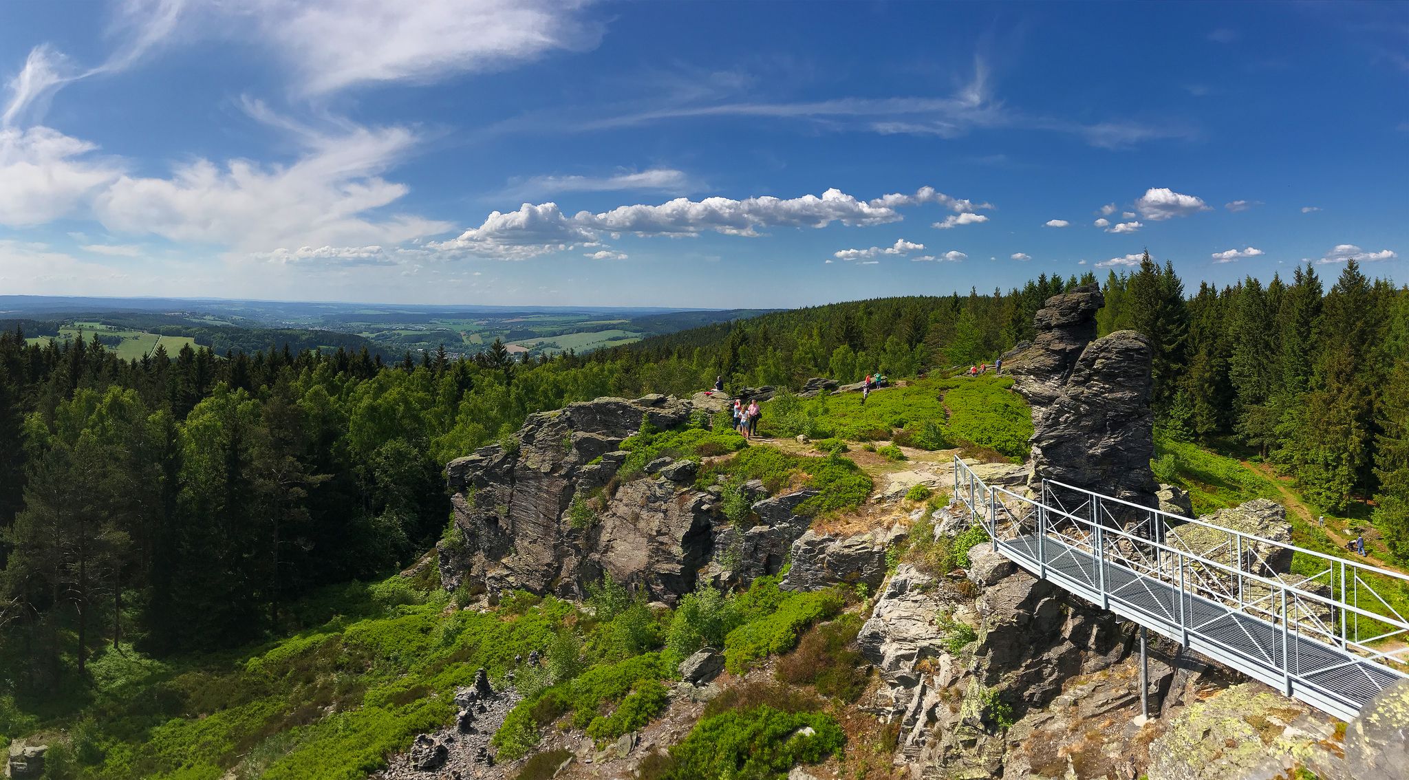
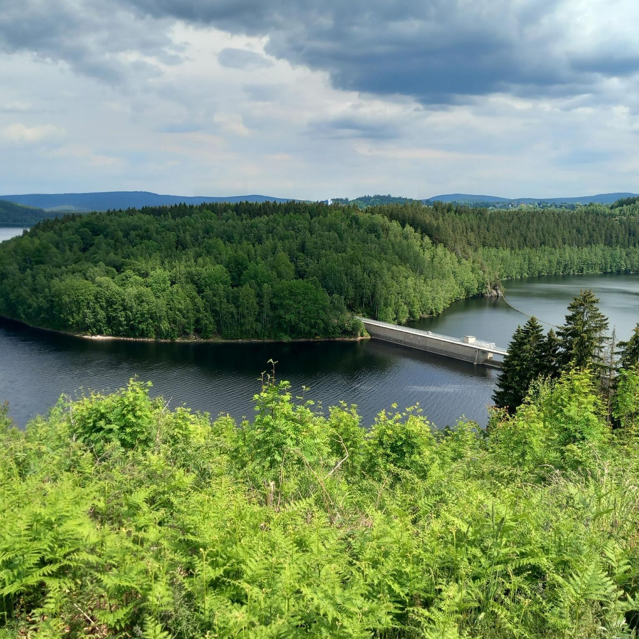
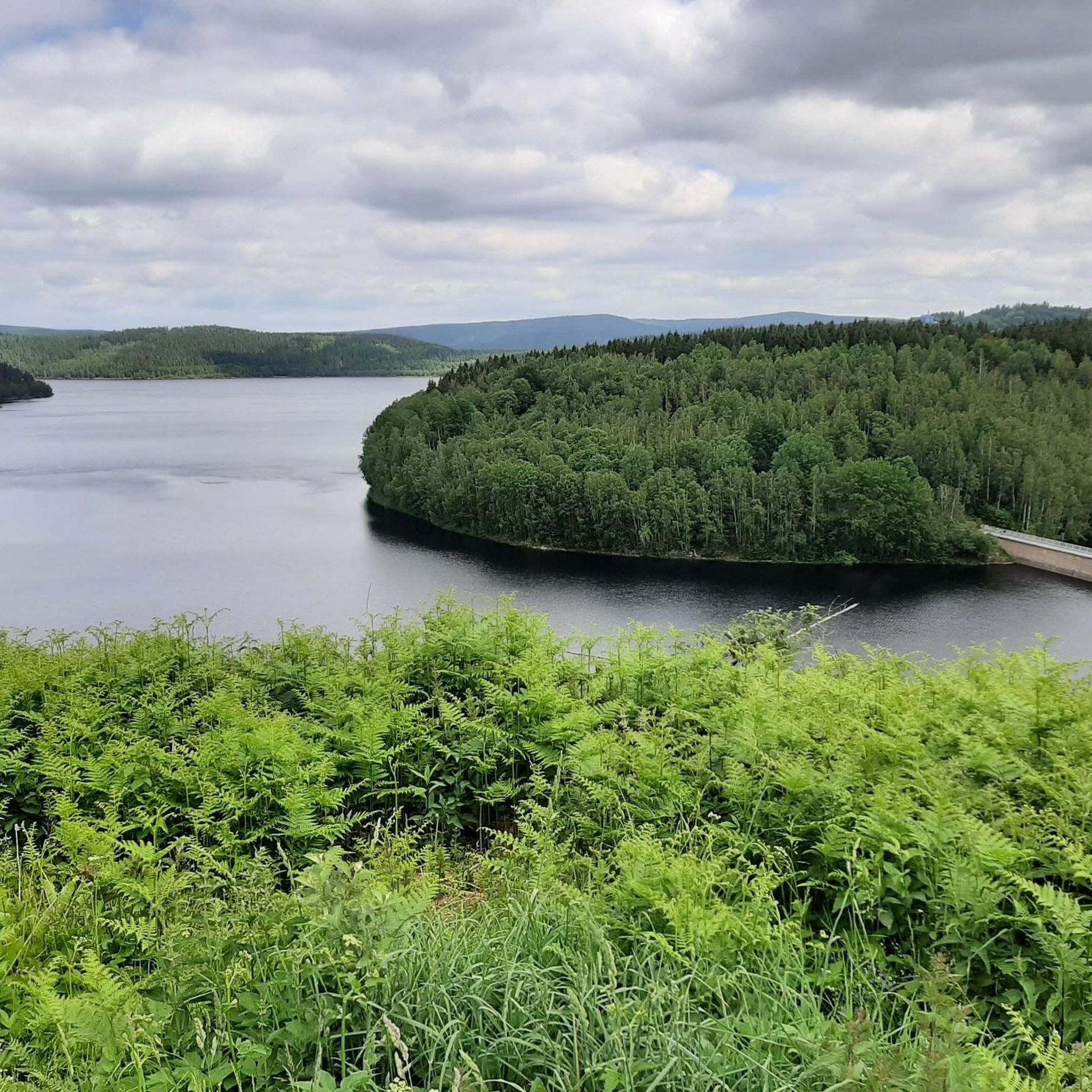
Other adventures around Schönheide

Tips from the Community

We prefer to ride uphill first and downhill on the WAY BACK; also with an e-bike. That's why we started from the parking lot at Vorsperre.
0
0

Here you can find something for astro fans.
0
0


Below the reservoir is a swimming lake - ideal if it gets too hot on the gravel bike tour - otherwise it is beautiful here and the path around the reservoir is easy to ride
1
0


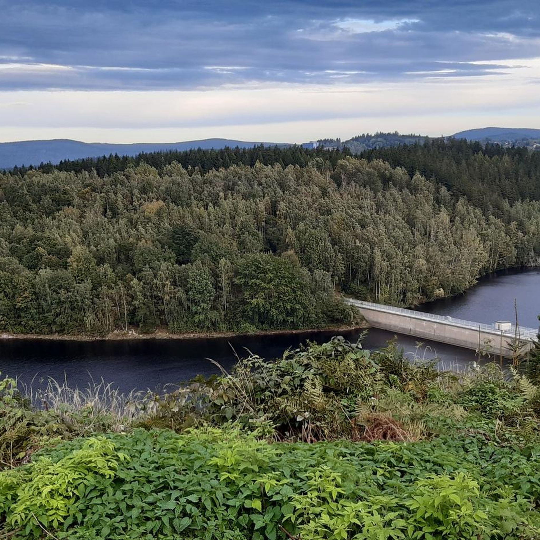
Interesting information panels about the Muldenberg Dam. Here you can learn about the history of the facility, rehabilitation measures, and drinking water protection.
0
0

We like to stop here for a swim 🏊♀️!
0
0

It's simply impressive what this small town, also known as the 'cradle of the bandoneon,' is capable of. In the evenings, the sculpture is illuminated.
1
0
Frequently Asked Questions
How many road cycling routes are available around Schönheide?
There are over 50 road cycling routes available around Schönheide, offering a diverse range of experiences for cyclists. These routes are highly rated by the komoot community, with an average score of 4.8 stars from over 20 reviews.
What kind of terrain can I expect on road cycling routes in Schönheide?
Schönheide's road cycling routes are characterized by rolling hills, dense forests, and varying elevations, as it's nestled in the western Ore Mountains. You'll encounter both challenging ascents, with the highest point being "der Knock" at 767 meters, and scenic stretches through valleys, including along the Zwickauer Mulde river.
Are there road cycling routes suitable for beginners or families in Schönheide?
While many routes in Schönheide feature varying elevations, the region also offers options with more moderate inclines. The Mulde Cycle Path, for instance, follows a former railway line from Blauenthal to Aue and is known for its very moderate incline, making it enjoyable for those seeking a less strenuous ride. This path also features long, shaded stretches flanked by trees.
What are some of the more challenging road cycling routes in the area?
For experienced cyclists seeking a challenge, routes like the Mühlleithen Pass summit (860 m) – Hefekloß Pass Summit loop from Schönheide Mitte offer significant elevation changes over 76 kilometers. Another demanding option is the "Klingenthal-Pöhl-Mylau-Schönheide" route, covering nearly 119 kilometers with impressive landscapes and ascents.
What scenic viewpoints or natural attractions can I find along the road cycling routes?
The region offers several picturesque spots. You can enjoy expansive views from the Auersberg Summit and its observation tower, including panoramic vistas of the Eibenstock and Sosa dams. The Sosa Reservoir also provides picturesque views over the forests from its dam wall. Additionally, the Blauenthal Waterfall, Saxony's highest waterfall, is a striking natural-looking attraction you might encounter.
Are there any historical or cultural points of interest near the cycling routes?
Yes, beyond natural beauty, Schönheide offers cultural insights. Cyclists might pass by the Old Bockau Railroad Tunnel, a unique structural highlight. The Museumsbahn Schönheide (Museum Railway Schönheide) provides a glimpse into the region's industrial past, and the Bürsten- und Heimatmuseum (Brush and Local History Museum) offers local heritage insights.
Can I find routes that include lakes or reservoirs?
Absolutely. Several routes offer views of or pass by local reservoirs. For example, the Schönheide South Station – Muldenberg Dam loop from Schönheide Mitte provides views of the Muldenberg Dam. Other nearby highlights include the Falkenstein Reservoir and the Carlsfeld Reservoir (Wilzsch Reservoir).
What is the typical duration for a road cycling tour in Schönheide?
Tour durations vary significantly based on distance and difficulty. For instance, a moderate route like the Bandonion Monument Carlsfeld – Hefekloß Pass Summit loop from Schönheide Mitte, covering 36 kilometers, can be completed in about 1 hour 53 minutes. Longer, more difficult routes can take upwards of 3 to 4 hours or more.
Are there any circular road cycling routes around Schönheide?
Yes, many of the road cycling routes around Schönheide are designed as loops, often starting and ending in central locations like Schönheide Mitte. This allows for convenient planning without needing to arrange return transport. Examples include the View of Schönheide – Wernesgrüner Brewery loop from Schönheide Ost.
What do other road cyclists appreciate most about cycling in Schönheide?
The komoot community highly rates road cycling in Schönheide, with an average score of 4.8 stars. Cyclists often praise the diverse terrain, from challenging climbs to scenic valley rides, and the well-maintained paved surfaces. The picturesque landscapes of the Ore Mountains and the variety of routes catering to different fitness levels are frequently highlighted.
Are there any waterfalls to see while cycling in the region?
Yes, the Blauenthal Waterfall, which is the highest waterfall in Saxony, is a notable attraction in the area. While man-made, it has a striking natural appearance and is a popular point of interest. You might also find the Rißfälle Waterfalls nearby.
Where can I start my road cycling tour in Schönheide?
Many routes are designed to start from central points within Schönheide, such as Schönheide Mitte or Schönheide Ost, making them easily accessible. These starting points often serve as convenient hubs for various loop tours, allowing you to begin and end your ride in the same location.
Most popular routes around Schönheide
Most popular attractions around Schönheide

Get inspired with the komoot mobile app


Explore more
Browse the best Road cycling routes in other regions.
