The best road cycling routes around Villamaina
4.4
(46)
621
riders
39
rides
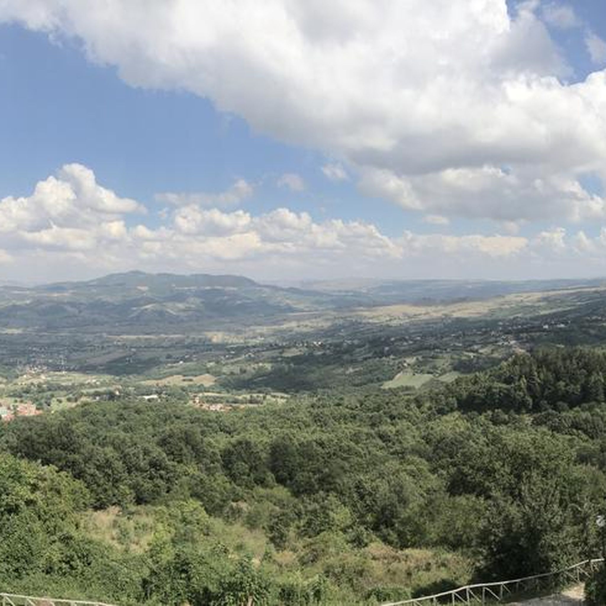
Road cycling around Villamaina features a landscape characterized by rolling hills and valleys, offering varied terrain for cyclists. The region includes routes with significant elevation changes, suitable for those seeking challenging climbs and descents. The area's natural features provide a backdrop for road cycling, with routes traversing different elevations.
Best road cycling routes around Villamaina
- The most popular road cycling route is Strada Statale del Formicoso – Lake Conza loop from Avellino, a 47.5 miles (76.5 km) trail that…
Last updated: July 8, 2026
4.8
(5)
31
riders
76.6km
03:43
1,020m
1,020m
Hard road ride. Very good fitness required. Some segments of this route may be unpaved and difficult to ride.
19
riders
73.2km
03:40
1,140m
1,140m
Hard road ride. Very good fitness required. Mostly well-paved surfaces and easy to ride.

Sign up for free
13
riders
Moderate road ride. Good fitness required. Mostly well-paved surfaces and easy to ride.
11
riders
77.9km
04:02
1,340m
1,340m
Hard road ride. Very good fitness required. Mostly well-paved surfaces and easy to ride.
11
riders
Hard road ride. Very good fitness required. Mostly well-paved surfaces and easy to ride.
Get access to more routes and recommendations from other explorers.
Sign up for free
Already have an account?
Our route recommendations are based on thousands of hikes, rides, and runs completed by other people on komoot.
Start today with a free account
Your next adventure awaits.
Login or Signup


Tips from the Community

It's written Basilica not Basilika!
0
0

From the Castelvetere-Lioni state road you go down a lot, and then you have to go back up. There is a fountain on the left side as soon as you arrive.
1
0
It can be reached either from Ofantina, from the Sant'Angelo - Industrial Area junction there is a fast-flowing road, or from the state road that connects Lioni to Sant'Angelo or Torella d.L. If you choose, coming from Lioni, the junction for Nusco-Bagnoli (turn left immediately before the petrol station) there are roads with little traffic and with the scenic complex of the Picentini mountains on the left.
0
0
A place out of time, an oasis of peace as the sign in the internal entrance says ("respect this place of peace". Entering it by bike, silent and discreet, is a gesture of respect in the wake of the pilgrims on the path of San Guglielmo, patron saint of Irpinia.
0
0
Road with little traffic, gentle climb and enchanting views.
0
0

Incredibly suggestive place, it is undoubtedly worth a visit. Presence of toilets with drinking water to fill water bottles
0
0

Take bottles with you to fill up on delicious spring water
0
0
Wide and silent landscapes, green spaces and blue sky and lake, little traffic and peace.
0
0
Frequently Asked Questions
What kind of terrain can I expect when road cycling around Villamaina?
Villamaina is characterized by rolling hills and valleys, offering a varied landscape for road cyclists. You'll find routes with significant elevation changes, including challenging climbs and descents, set against a natural backdrop.
Are there road cycling routes suitable for beginners in Villamaina?
Yes, while many routes feature substantial climbs, there is at least one easy road cycling route available. Overall, the region offers a mix of difficulty levels, with 17 moderate and 18 difficult routes, ensuring options for various skill sets.
How many road cycling routes are available in the Villamaina area?
There are over 35 road cycling routes around Villamaina documented on komoot, ranging from easy to difficult, providing a wide selection for different preferences and fitness levels.
What are some popular circular road bike routes in Villamaina?
Many routes in Villamaina are designed as loops. A popular moderate option is the Fontanarosa Fountain – Drinking Water Fountain loop from Luogosano-San Mango sul Calore, which covers 40.4 miles (65.0 km) with nearly 900 feet (270 meters) of elevation gain. For a more challenging ride, consider the Strada Statale del Formicoso – Lake Conza loop from Avellino.
What do other road cyclists say about the routes in Villamaina?
The road cycling routes in Villamaina are highly rated by the komoot community, with an average score of 4.5 stars from over 30 reviews. Cyclists often praise the varied terrain, challenging ascents, and the scenic open countryside.
Are there any notable landmarks or attractions along the road cycling routes in Villamaina?
Yes, several routes pass by interesting sights. For instance, the Strada Statale del Formicoso – Abbey of Goleto loop takes you near the historic Abbey of Goleto. Other attractions in the region include Ponte Principe and the Historic Center of Fontanarosa.
What is the typical duration for road cycling routes in Villamaina?
Route durations vary significantly based on distance and elevation. For example, the moderate Fontanarosa Fountain – Drinking Water Fountain loop typically takes about 3 hours and 12 minutes, while more challenging routes like the Strada Statale del Formicoso – Abbey of Goleto loop can take over 4 hours and 50 minutes.
Are there any particularly challenging road bike climbs in Villamaina?
Villamaina is known for its challenging ascents. Routes like the Strada Statale del Formicoso – Abbey of Goleto loop feature substantial climbs, reaching over 5,200 feet (1,600 meters) in elevation gain, making them suitable for advanced cyclists seeking significant challenges.
Can I find family-friendly road cycling routes in Villamaina?
While many routes in Villamaina involve significant elevation, there is at least one easy route available that could be more suitable for families or those looking for a less strenuous ride. It's advisable to check the difficulty and elevation profiles of individual routes to find the best fit for your family.
What is the best time of year for road biking in Villamaina?
Given the rolling hills and open countryside, spring and autumn generally offer the most pleasant conditions for road cycling in Villamaina, with milder temperatures and beautiful scenery. Summer can be hot, especially on routes with less shade, while winter may bring colder temperatures and potentially less predictable weather.
Are there options for parking near the road biking trails in Villamaina?
While specific parking information for each route start isn't always detailed, routes often begin from towns or villages like Avellino or Luogosano-San Mango sul Calore, where public parking facilities are typically available. It's recommended to check local parking options for your chosen starting point.
Are there any road cycling routes that pass by water features like lakes or rivers?
Yes, some routes incorporate water features into their scenic paths. For example, the Strada Statale del Formicoso – Lake Conza loop from Avellino includes views of Lake Conza. Additionally, the region features the Calore River Between Lapio and Taurasi, which may be visible from certain routes.
Most popular attractions around Villamaina

Get inspired with the komoot mobile app


Explore more
Browse the best Road cycling routes in other regions.
