The best road cycling routes around Senerchia
3.9
(39)
198
riders
23
rides
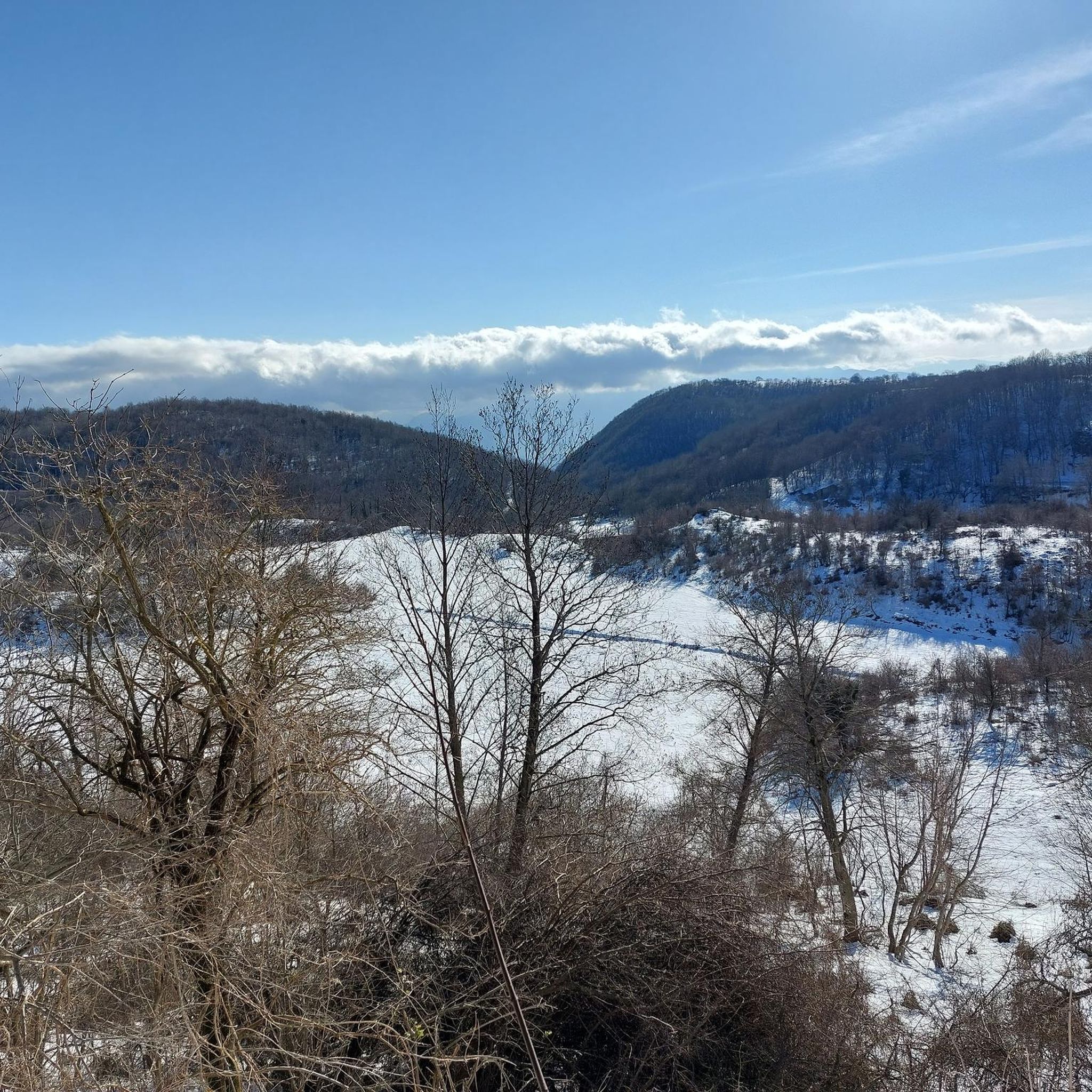
Road cycling routes Senerchia elevation are characterized by the rugged terrain of the Picentini Mountains, where the town is situated at 600 meters above sea level. The region features significant elevation changes, with surrounding peaks exceeding 1,600 meters, providing challenging climbs and descents. Cyclists can experience the expansive views of the High Sele river valley and the natural beauty of the WWF Oasis Valle della Caccia. This mountainous landscape offers dynamic road cycling experiences.
Best road cycling routes around Senerchia
- The most popular road cycling route is A.N.A.S. Fountain and Fig Tree – SS 91 Through Serradarce loop from Oliveto Citra, a 50.4 miles (81.2 km) trail that takes 4 hours 22 minutes to complete. This difficult route features substantial elevation gain through the mountainous landscape.
- Another top favourite among local road cyclists is Quaglietta Church – Start of SP92 to Senerchia loop from Caposele, a difficult 37.6 miles (60.5 km) path. This route offers views of the Sele Valley and challenging ascents.
- Local road cyclists also love the Strada Statale del Formicoso – View of Bisaccia loop from Oliveto Citra, an 86.6 miles (139.3 km) trail leading through varied terrain, often completed in about 7 hours 11 minutes.
- Road cycling around Senerchia is defined by the Picentini Mountains, the Sele Valley, and the WWF Oasis Valle della Caccia. The network offers options for both moderate and difficult ability levels.
- The routes in Senerchia are highly rated by the komoot community with an average score of 3.8 stars from more than 20 reviews. More than 200 road cyclists have used komoot to explore Senerchia's varied terrain.
Last updated: July 4, 2026
5.0
(1)
40
riders
81.1km
04:23
1,510m
1,510m
Hard road ride. Very good fitness required. Mostly well-paved surfaces and easy to ride.
4.0
(1)
33
riders
74.4km
03:55
1,360m
1,360m
Hard road ride. Very good fitness required. Mostly well-paved surfaces and easy to ride.

Sign up for free
4.0
(2)
19
riders
139km
07:12
2,410m
2,420m
Hard road ride. Very good fitness required. Mostly well-paved surfaces and easy to ride.
11
riders
Moderate road ride. Good fitness required. Mostly well-paved surfaces and easy to ride.
9
riders
Hard road ride. Very good fitness required. Mostly well-paved surfaces and easy to ride.
Get access to more routes and recommendations from other explorers.
Sign up for free
Already have an account?
Our route recommendations are based on thousands of hikes, rides, and runs completed by other people on komoot.
Start today with a free account
Your next adventure awaits.
Login or Signup
Other adventures around Senerchia

Tips from the Community

Charming and small hamlet located on the hills of the municipality of Campagna (SA).
0
0

It has good legs the solitude when it chases us and catches us among the moving crowd. It has cobalt blue eyes when it hypnotizes us among the indifference of the world. It has a melodious voice when it calls us by name in the circle of silence of lost friends. It has cotton hands when it caresses us the still open wounds. It is this curse of hers that makes it magical, in spite of certain companies so full of nothing. Emanuela Sica Guardia Dei Lombardi 06 June 2023 These verses describe solitude not as a condemnation, but as a complex entity that understands and deeply heals us. The author, Emanuela Sica, writes from Guardia Lombardi, exploring how solitude knows how to embrace, caress, and heal us, making life magical in spite of superficial company.
1
0
Directions along the SS 91.
16
0
Another stretch of the SS 91 leading to the municipalities of Oliveto Citra and Contursi.
15
0
A beautiful view of the vast Sele Plain from the SS 91 that runs from the Sele Valley to the Tyrrhenian Sea. https://it.wikipedia.org/wiki/Piana_del_Sele
15
0
Km 0 of the SP 92 which leads from the centre of Quaglietta, after a climb of approximately 5 kilometres at an average 5-7%, to the municipality of Senerchia.
13
0
Directions to the Valle della Caccia oasis from the center of Quaglietta. https://www.vallesele.it/oasi-valle-della-caccia-senerchia.htm
12
0
Beautiful poem by the writer Emanuela Sica.
16
0
Frequently Asked Questions
What kind of terrain can I expect when road cycling around Senerchia?
Senerchia is situated in the rugged Picentini Mountains, offering significant elevation changes. You'll encounter challenging climbs and descents, with surrounding peaks exceeding 1,600 meters. The routes provide expansive views of the High Sele river valley and the natural beauty of the WWF Oasis Valle della Caccia.
How many road cycling routes are available in the Senerchia area?
There are 29 road cycling routes around Senerchia listed on komoot. These routes cater to various skill levels, with 12 classified as moderate and 17 as difficult, ensuring options for different fitness levels.
Are there any moderate road cycling routes suitable for less experienced riders?
Yes, while many routes are challenging, there are moderate options available. An example is the Loneliness – Valle della Caccia Oasis loop from Oliveto Citra, which covers 46.3 km with an elevation gain of 831 meters.
What natural attractions can I see along the road cycling routes in Senerchia?
The region is rich in natural beauty. You can explore the Acquabianca Waterfall, known for its clear waters, or the multi-tiered Bard'natore Waterfall. The routes also pass through the WWF Oasis Valle della Caccia, home to the intriguing Grotta Profunnata cave system.
Are there any historical landmarks or points of interest near the cycling routes?
Beyond natural wonders, you can find historical sites like Quaglietta Castle in the vicinity. The routes often offer views of the Sele Valley, which has its own historical significance.
What do other road cyclists think about the routes in Senerchia?
The road cycling routes in Senerchia are highly regarded by the komoot community, with an average rating of 3.5 stars from 28 reviews. Cyclists often praise the challenging ascents, expansive views, and the natural beauty of the Picentini Mountains and the Sele Valley.
Are there any very long or challenging road cycling routes for experienced riders?
Absolutely. For experienced riders seeking a significant challenge, the Start of SP92 to Senerchia – Quaglietta Church loop from Oliveto Citra is a demanding option, covering 107.3 km with over 1,700 meters of elevation gain.
What is the best time of year for road cycling in Senerchia?
The region offers a constantly changing landscape with each season. While specific seasonal recommendations are not provided, the lush green mountains suggest spring and autumn would be ideal for comfortable temperatures and vibrant scenery. Winter might present more challenging conditions due to the mountainous terrain.
Can I find loop routes for road cycling in Senerchia?
Yes, many of the road cycling routes in Senerchia are designed as loops. For example, the Quaglietta Church – Valle della Caccia Oasis loop from Caposele offers a challenging 60.6 km circular ride.
Are there any specific viewpoints or scenic spots along the road cycling routes?
The routes frequently offer expansive views of the High Sele river valley. Additionally, the path leading to the Acquabianca waterfall provides scenic views from a panoramic point, making it a rewarding stop during your ride.
What are the highest points I can reach on a road bike around Senerchia?
While Senerchia itself is at 600 meters, the surrounding Picentini Mountains feature peaks exceeding 1,600 meters. Routes like the Strada Statale del Formicoso – View of Bisaccia loop from Oliveto Citra involve significant elevation gains, reaching over 2,400 meters of ascent, offering high-altitude cycling experiences.
Most popular attractions around Senerchia

Get inspired with the komoot mobile app


Explore more
Browse the best Road cycling routes in other regions.
