The best cycling routes around Montemiletto
4.6
(188)
700
riders
85
rides
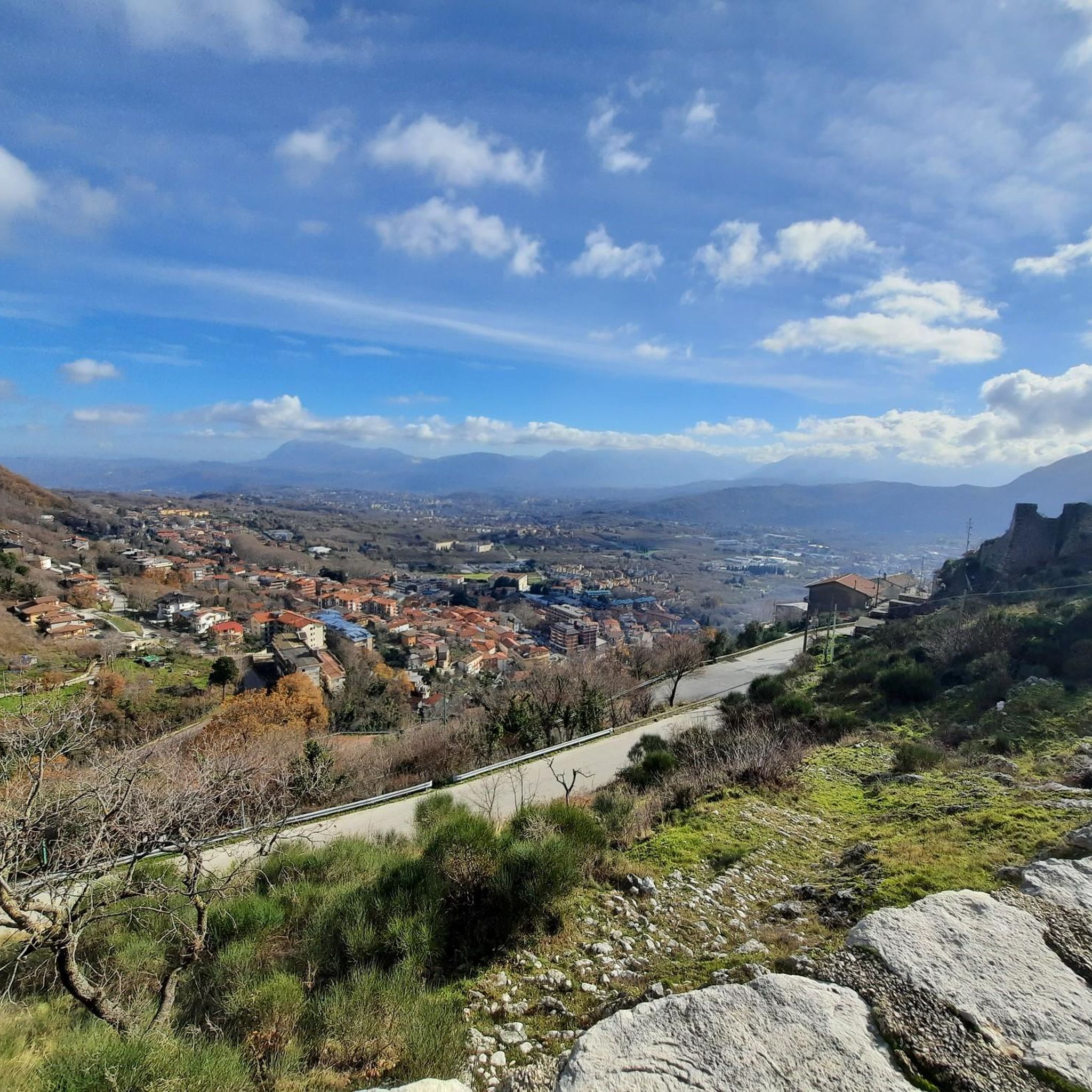
Touring cycling around Montemiletto, situated at an elevation of 600 meters above sea level in Italy's Irpinia region, features diverse landscapes. The area is characterized by hilly topography with ascents and descents, offering varied terrain for cyclists. Routes often traverse green areas, forests, and winding roads, with some paths following river valleys like the Sabato. This region provides a mix of challenging routes and scenic rides through its natural features.
Best touring cycling routes around Montemiletto
- The most popular touring…
Last updated: October 11, 2026
12
riders
74.4km
04:48
850m
850m
Hard bike ride. Very good fitness required. Mostly paved surfaces. Suitable for all skill levels.
3.7
(3)
9
riders
55.3km
03:50
980m
980m
Hard bike ride. Very good fitness required. Mostly paved surfaces. Suitable for all skill levels.

7
riders
60.6km
04:17
1,090m
1,090m
Hard bike ride. Very good fitness required. Mostly paved surfaces. Suitable for all skill levels.
5.0
(2)
6
riders
54.9km
03:53
1,030m
1,030m
Hard bike ride. Very good fitness required. Mostly paved surfaces. Suitable for all skill levels.
5
riders
75.3km
05:23
1,530m
1,530m
Hard bike ride. Very good fitness required. Mostly paved surfaces. Suitable for all skill levels.
Get access to more routes and recommendations from other explorers.
Already have an account?
Our route recommendations are based on thousands of hikes, rides, and runs completed by other people on komoot.
Start today with a free account
Your next adventure awaits.


Tips from the Community

The Arch of Trajan is also known as Porta Aurea, the Golden Gate.
1
0
The Roman triumphal frieze with its 41m shows 160 figures, 6 sacrificial animals, 5 carts, 6 riding horses and the triumphal quadriga. Please circle the arch clockwise, starting from the northeast corner!
1
0
This Arch of Trajan is a single-arched Roman triumphal arch similar to the Arch of Titus in Rome
1
0
The Arch of Trajan displays exceptionally well-preserved relief decoration, which represents the only completely preserved depiction of a Roman triumphal frieze.
1
0

Very interesting, entrance fee 5€, children up to 18 years are free. You can move freely and also walk through the excavation site.
0
0

between Lapio and Taurasi, near the Principe bridge, a majestic iron railway bridge surrounded by greenery, there is this bridge that separates the descent from Taurasi (2km) from the climb to Lapio (about 5km), surrounded by woods and with a bumpy road surface. A somewhat wild but beautiful route.
1
0
short dirt track around the lake, made at Aglianica 2025
0
0

Beautiful and evocative. Highly recommended.
0
0
Frequently Asked Questions
How many touring cycling routes are available around Montemiletto?
There are over 80 touring cycling routes around Montemiletto, offering a wide range of options for different skill levels. The region's hilly topography ensures varied terrain for cyclists.
What is the general difficulty level of touring cycling routes in Montemiletto?
The touring cycling routes around Montemiletto are predominantly challenging, with 66 out of 80 routes rated as difficult. There are also 13 moderate routes and 1 easy route, reflecting the region's hilly topography with significant ascents and descents.
Are there any family-friendly touring cycling routes in the Montemiletto area?
While most routes are moderate to difficult, there is one easy touring cycling route available. For families looking for a less strenuous ride, consider exploring local green areas or quieter sections of the Sabato River valley, which offer more gentle terrain.
What kind of landscapes and natural features can I expect to see while cycling around Montemiletto?
Cycling around Montemiletto offers diverse landscapes, including hilly topography with ascents and descents, winding roads, and green areas. Routes often traverse forests and follow river valleys like the Sabato. You might also encounter scenic spots like the Stretto di Barba gorge.
Are there any circular touring cycling routes around Montemiletto?
Yes, many touring cycling routes in the area are designed as loops. For example, the Parco Santo Spirito – Ruins of Avellino Castle loop from Prata-Pratola is a popular moderate route, and the Apice Vecchio Castle – Apice Vecchia loop from Montemiletto offers a longer, more challenging experience.
What historical landmarks or points of interest can I visit along the touring cycling routes?
Montemiletto and its surroundings are rich in history. You can integrate cultural stops into your rides to see landmarks such as the imposing Della Leonessa Castle, the Dominican Monastery annexed to Sant'Anna Church, and the Porta della Terra. Routes like the Apice Vecchio Castle – Apice Vecchia loop from Montemiletto lead through historical attractions. You might also pass by the Ancient Sulphur Mine of Tufo.
What do other touring cyclists enjoy most about cycling in Montemiletto?
The touring cycling routes in Montemiletto are highly rated by the komoot community, with an average score of 4.6 stars. Cyclists often praise the varied terrain, the challenging ascents and descents, and the scenic beauty of the region's green areas and river valleys.
Are there any specific roads or tracks known for their tranquility or unique cycling experience?
Yes, the region features unique cycling opportunities like the 'Malepasso Road' between Salza Irpina and Volturara, described as a 'silent and very suggestive place' ideal for a tranquil ride. Additionally, a disused road connecting Santo Stefano del Sole with Volturara Irpina has become a popular dirt track for off-road touring.
What is the best time of year for touring cycling in Montemiletto?
Montemiletto, situated at 600 meters above sea level, offers pleasant conditions for touring cycling during spring and autumn. These seasons typically provide milder temperatures, making the ascents and descents more enjoyable. Summer can be warm, while winter may bring colder weather and potential for rain or snow at higher elevations.
Are there any touring cycling routes that follow river valleys?
Yes, the region's strategic location near the Calore valley and Sabato River means many routes incorporate these natural features. For instance, the Bridge over the Sabato River – Stretto di Barba loop from Prata-Pratola is a moderate route that follows the Sabato River.
What kind of surface types can I expect on the touring cycling routes around Montemiletto?
The routes around Montemiletto feature a mix of surface types. While many main roads are paved, the region's diverse terrain means you might encounter winding roads, as well as dirt tracks on disused roads or paths through green areas and forests. Be prepared for varied surfaces, especially on more challenging routes.
Most popular attractions around Montemiletto

Get inspired with the komoot mobile app


Explore more
Browse the best Cycling routes in other regions.
