The best road cycling routes around Schönbrunn im Steigerwald
4.5
(355)
3,868
riders
125
rides
Road cycling around Schönbrunn im Steigerwald offers diverse landscapes within the Steigerwald Nature Park, characterized by green valleys, gentle hills, and expansive forests. The region features moderate inclines and varied topography, making it suitable for different fitness levels. Cyclists can navigate a network of paths that include paved roads, winding through forests, meadows, and vineyards. Higher elevations provide panoramic views of the Franconian region.
Best road cycling routes around Schönbrunn im Steigerwald
- The most popular road cycling route is Kehlingsdorf…
Last updated: July 11, 2026
4.2
(26)
89
riders
43.1km
01:52
310m
310m
Moderate road ride. Good fitness required. Mostly well-paved surfaces and easy to ride.
4.5
(2)
88
riders
49.3km
02:02
250m
250m
Moderate road ride. Good fitness required. Mostly well-paved surfaces and easy to ride.

Sign up for free
5.0
(2)
55
riders
28.2km
01:14
220m
210m
Easy road ride. Great for any fitness level. Mostly well-paved surfaces and easy to ride.
5.0
(1)
33
riders
38.5km
01:43
370m
370m
Moderate road ride. Good fitness required. Mostly well-paved surfaces and easy to ride.
4.0
(1)
38
riders
57.1km
02:35
610m
610m
Moderate road ride. Good fitness required. Mostly well-paved surfaces and easy to ride.
Get access to more routes and recommendations from other explorers.
Sign up for free
Already have an account?
Our route recommendations are based on thousands of hikes, rides, and runs completed by other people on komoot.
Start today with a free account
Your next adventure awaits.
Login or Signup
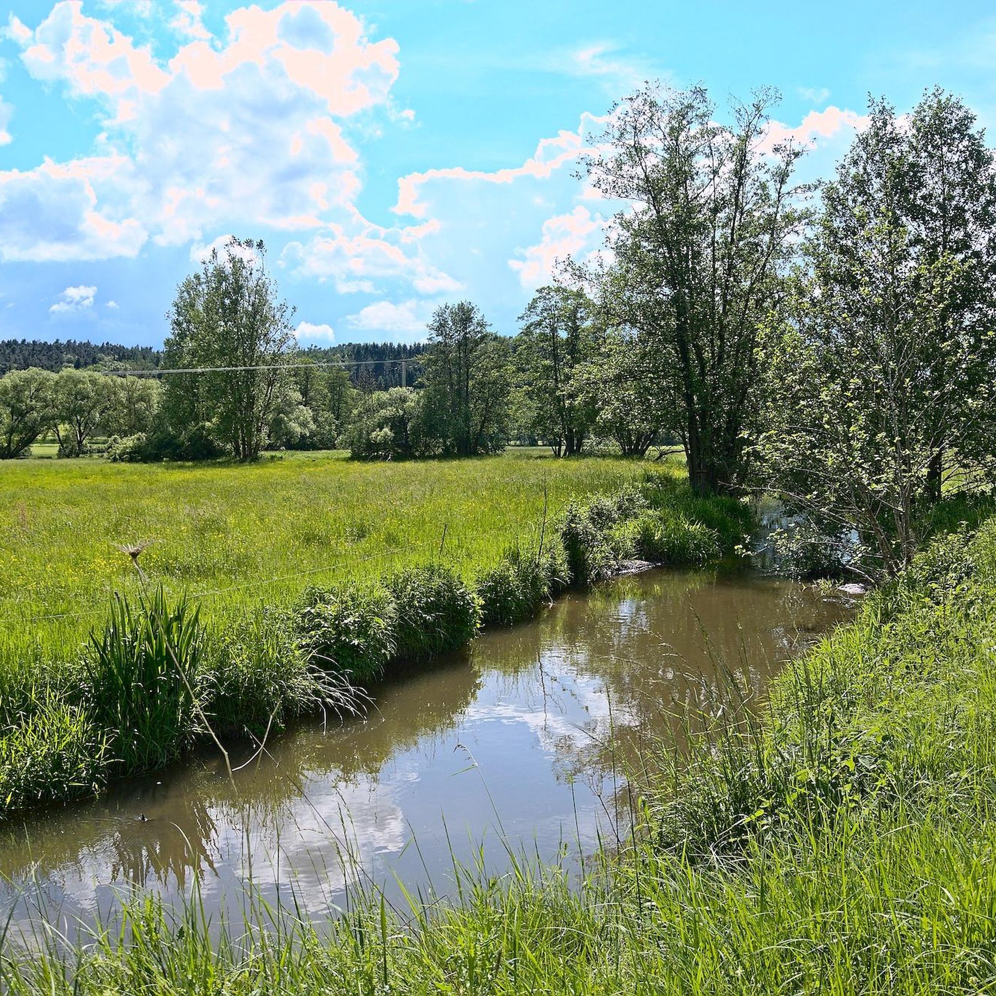
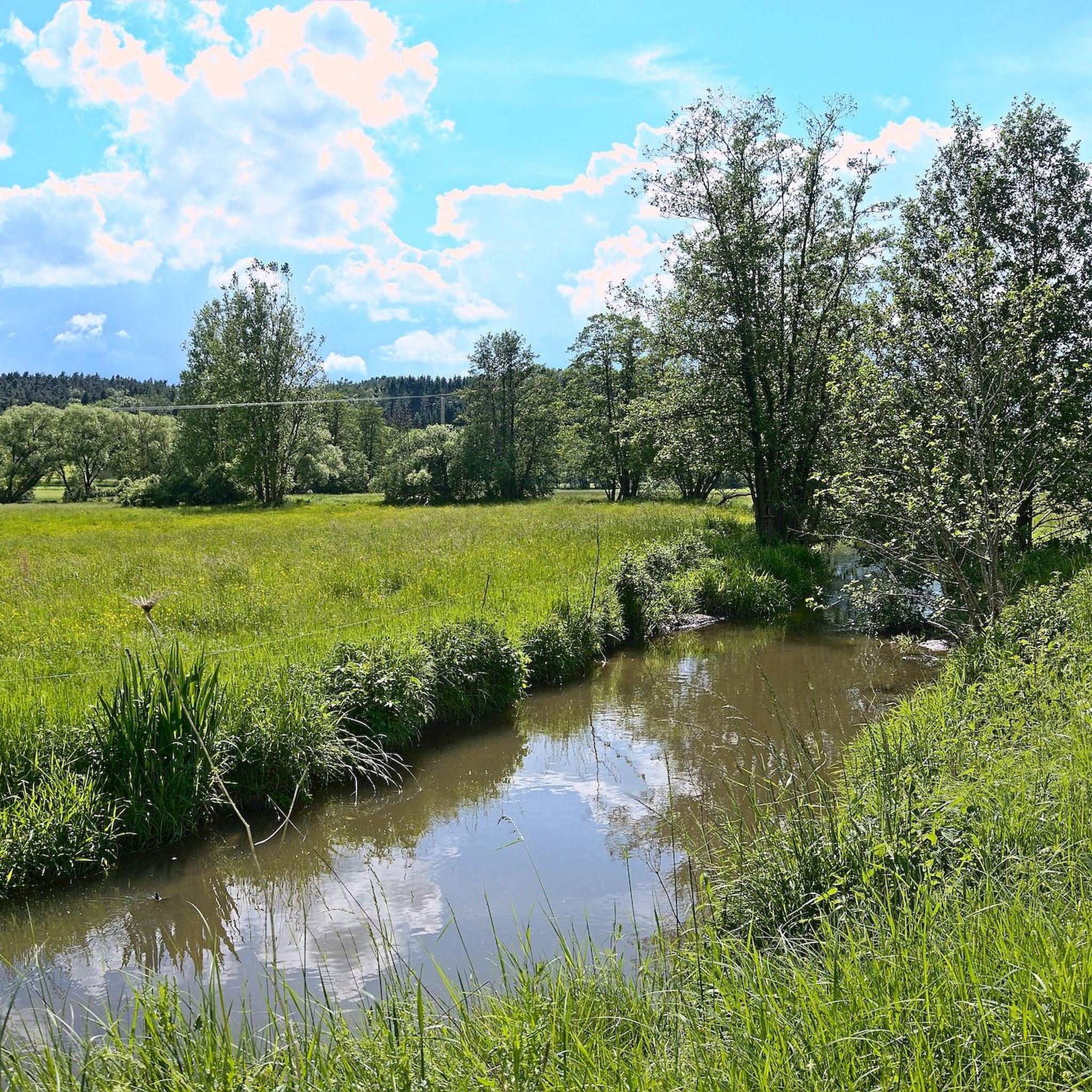
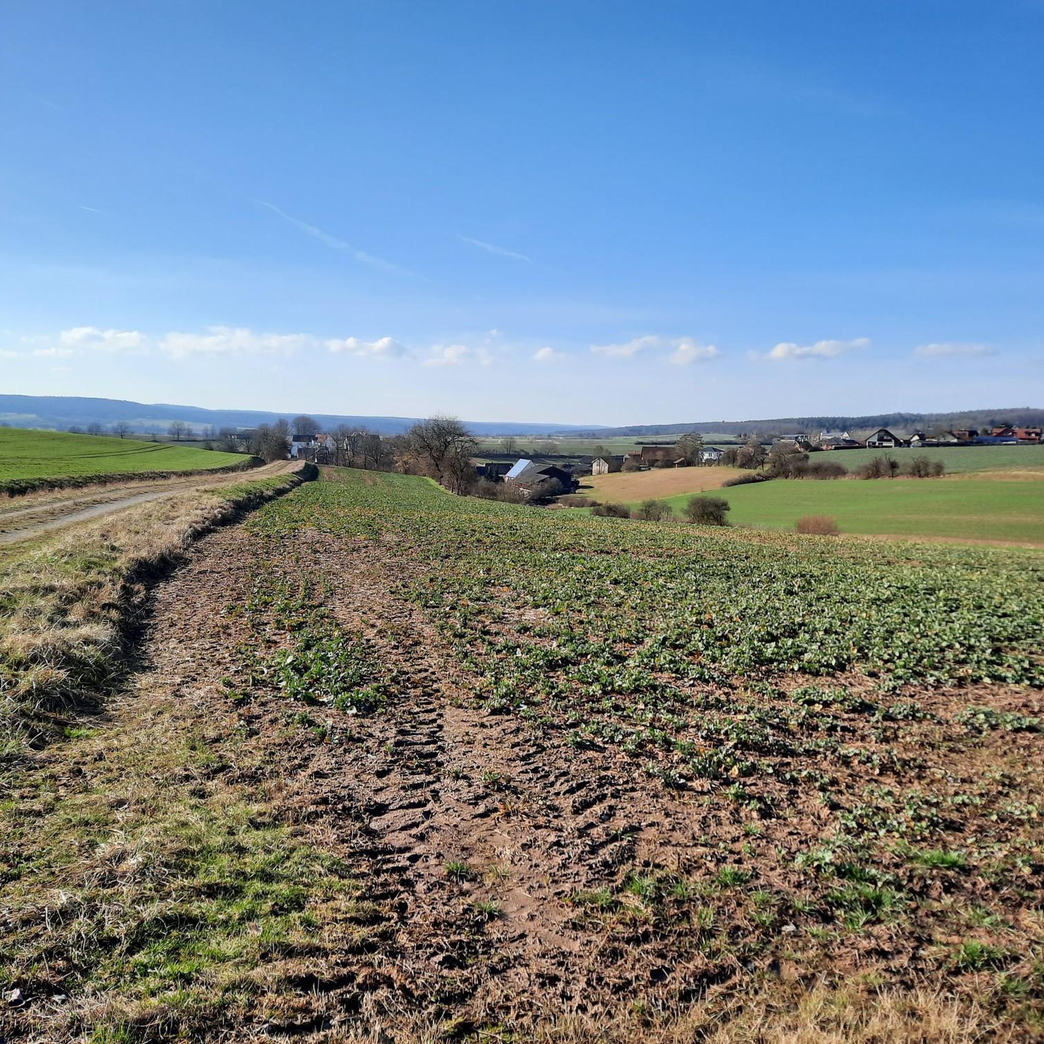
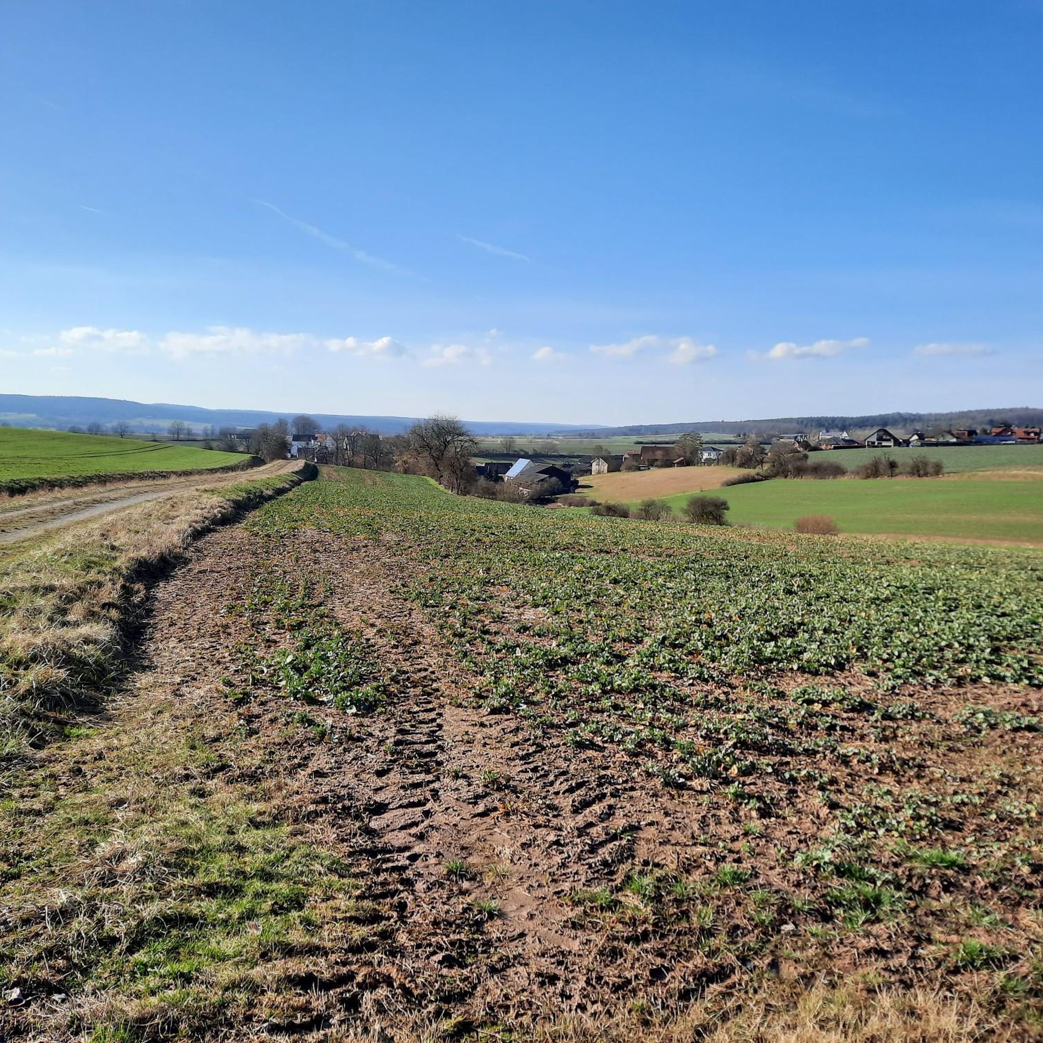

Tips from the Community

Beautifully developed cycle path. In 2025 alone, I rode the route Weisendorf - Bamberg - Back 8 times
0
0
Super great cycle path from Frensdorf in the direction of Bamberg - Greatly developed. Partially with benches to rest
0
0

good cycle path along the canal
0
0


If your water bottle is running low, you can refill it here.
0
0
The cycle path is tarred up to the Nützelsbach junction. Here I switch to the country road with the road bike. It works quite well at this junction and you avoid the lawn edging stones.
1
1

The uphill gradient of 16% is quite a challenge. The downhill gradient is so rapid that you have to brake when you get to the town...
0
0

The cycle path is very well developed from Ebrach along the B22.
0
0
Frequently Asked Questions
How many road cycling routes are available around Schönbrunn im Steigerwald?
There are over 125 road cycling routes around Schönbrunn im Steigerwald, offering a wide variety of options for different skill levels. The komoot community has explored these routes over 3600 times.
What kind of terrain can I expect for road cycling in Schönbrunn im Steigerwald?
The region features an idyllic blend of green valleys, gentle hills, and expansive forests. You'll find a well-developed network of cycling paths, with many routes utilizing paved roads suitable for road bikes. The topography includes moderate inclines, making it enjoyable for both casual riders and more trained cyclists.
Are there easy road cycling routes for beginners in the area?
Yes, Schönbrunn im Steigerwald offers 30 easy road cycling routes. An example is the Cycle Path to Stegaurach – Lisberg Castle loop from Lisberg, which is 17.5 miles (28.2 km) long and leads through varied terrain, often completed in about 1 hour 14 minutes.
What are some challenging road cycling routes for advanced cyclists?
While the region is known for gentle hills, there are 6 routes classified as difficult for those seeking more challenge. For example, the Untersteinbach Village Center – Lisberg Castle loop from Lisberg is a moderate route at 57 km with over 600 meters of elevation gain, providing a good workout.
What cultural and natural attractions can I see along the road cycling routes?
Beyond the scenic landscapes, you can encounter various attractions. Highlights include the historic Bischberg Fishermen's Harbor, the tranquil Regnitz Confluence at Bischberg, or the unique Heck cattle and water buffalo in the Aurach Valley. The region also boasts charming towns, wineries, breweries, and historical sites like Ebrach Abbey.
Are there any viewpoints or panoramic spots accessible by road bike?
Yes, higher elevations within the Steigerwald Nature Park, such as near Zabelstein Mountain, offer panoramic views of the Franconian region. You can also visit the Tretzendorfer Weiher Observation Platform for scenic vistas over the ponds.
What do other road cyclists enjoy most about cycling in Schönbrunn im Steigerwald?
The area is highly rated by the komoot community, with an average score of 4.5 stars from over 360 reviews. Cyclists often praise the diverse landscapes, the well-developed network of paths, and the opportunity to explore the Franconian cultural landscape at a relaxed pace.
Are there any circular road cycling routes available?
Yes, many routes in the region are designed as loops. For instance, the Kehlingsdorf Ascent – Burgwindheim Castle loop from Steinsdorf is a popular 26.8-mile (43.1 km) route that features ascents and passes by historic Burgwindheim Castle.
Can I find places to stop for refreshments or accommodation along the routes?
The region is home to numerous traditional country breweries and beer gardens, particularly in towns like Schönbrunn, where cyclists can stop to enjoy local cuisine and beverages. Many charming towns and villages also offer accommodation options.
What is the best time of year for road biking in Schönbrunn im Steigerwald?
The diverse landscapes, including forests, meadows, and vineyards, make the region appealing throughout the warmer months. Spring and autumn offer pleasant temperatures and beautiful scenery, while summer provides longer daylight hours for extended rides.
Are there dedicated cycle paths for road biking, or do routes share roads with cars?
Schönbrunn im Steigerwald boasts a generously developed network of cycling paths. While some paths are shared, many sources indicate the presence of paved roads and suitable surfaces for road cycling, including dedicated cycle paths. For example, the Cycle Path to Stegaurach – Cycle Path to Frensdorf loop from Lisberg utilizes dedicated cycle paths for a smooth ride.
Where can I find information about the Steigerwald Nature Park?
For more information about the Steigerwald Nature Park and its offerings, you can visit the official tourism websites such as Frankentourismus or Steigerwald Tourismus.
Most popular routes around Schönbrunn im Steigerwald
Most popular attractions around Schönbrunn im Steigerwald

Get inspired with the komoot mobile app


Explore more
Browse the best Road cycling routes in other regions.
