The best road cycling routes around Tramonti
4.2
(411)
6,300
riders
75
rides
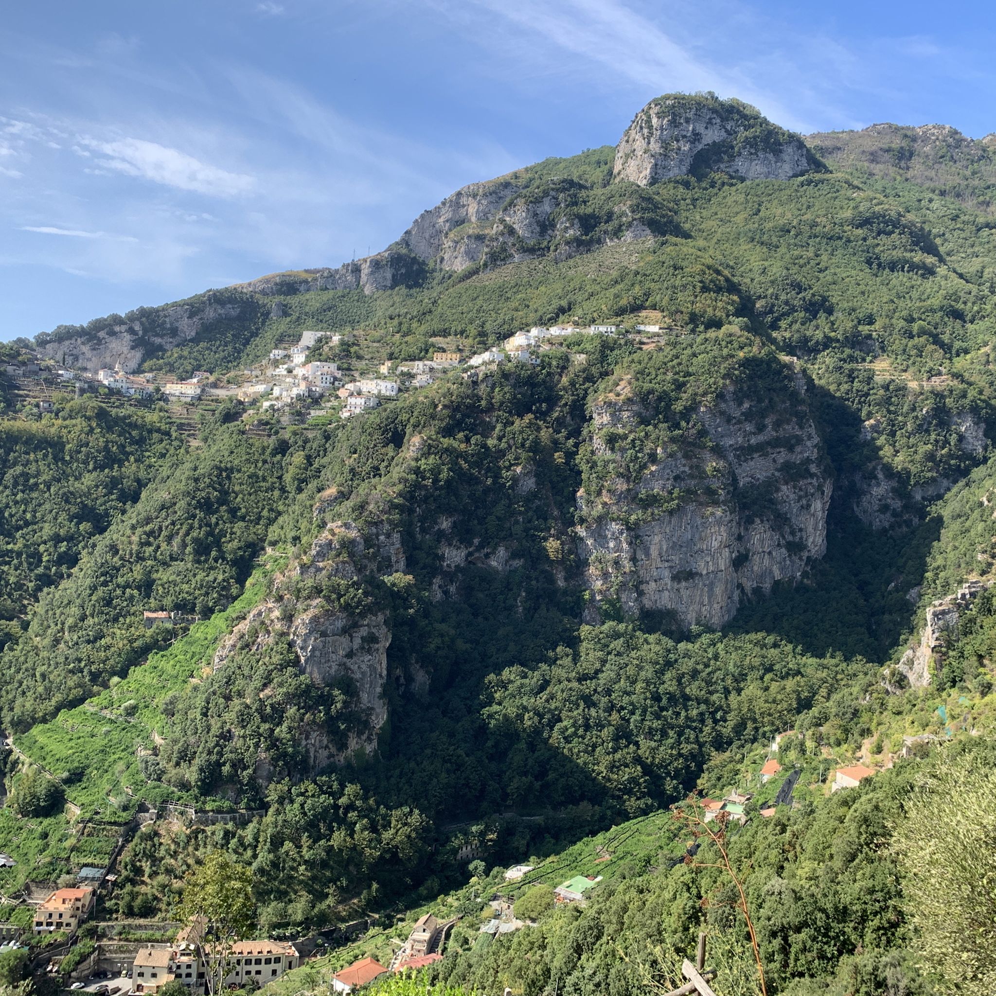
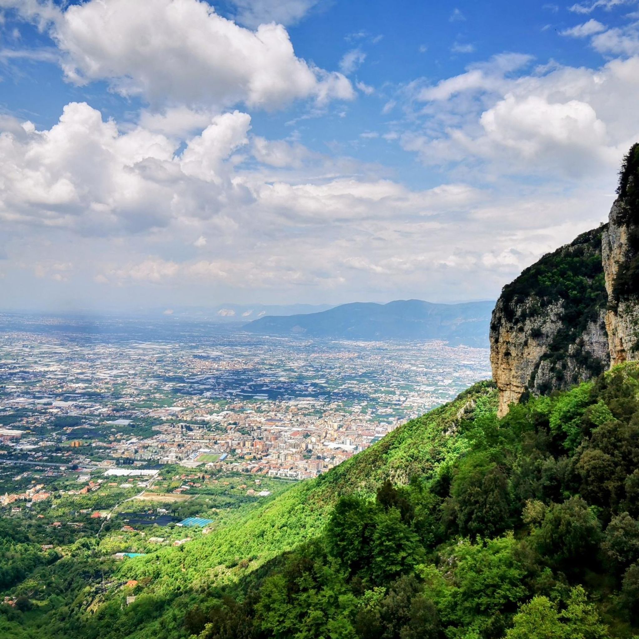
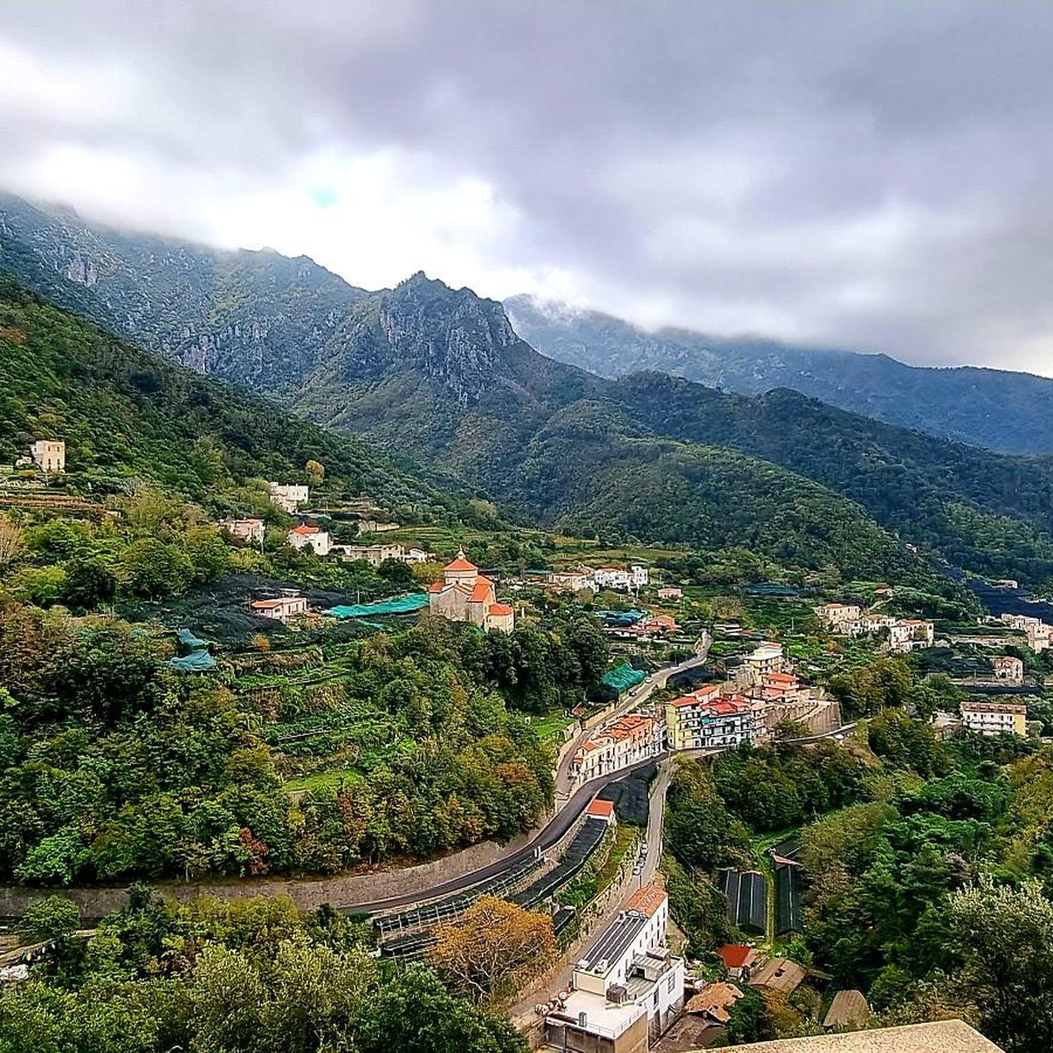
Road cycling around Tramonti offers diverse terrain within the internal valleys of the Monti Lattari mountain range. The region is characterized by quiet roads that wind through terraced vineyards, chestnut, and olive groves. Elevations range from approximately 100 to 1300 meters above sea level, providing varied challenges for cyclists. This area, often referred to as the "green lung of the Amalfi Coast," features lush, mountainous landscapes.
Best road cycling routes around Tramonti
- The most popular road cycling route is Giardini…
Last updated: October 11, 2026
4.9
(15)
237
riders
71.4km
05:13
2,780m
2,780m
Hard road ride. Very good fitness required. Mostly well-paved surfaces and easy to ride.
4.6
(27)
354
riders
65.9km
03:37
1,360m
1,360m
Hard road ride. Very good fitness required. Mostly well-paved surfaces and easy to ride.

4.9
(10)
138
riders
60.3km
03:52
1,790m
1,790m
Hard road ride. Very good fitness required. Mostly well-paved surfaces and easy to ride.
4.5
(4)
149
riders
57.5km
02:40
670m
670m
Moderate road ride. Good fitness required. Mostly well-paved surfaces and easy to ride.
4.1
(7)
144
riders
66.0km
03:08
870m
870m
Moderate road ride. Good fitness required. Mostly well-paved surfaces and easy to ride.
Get access to more routes and recommendations from other explorers.
Already have an account?
Our route recommendations are based on thousands of hikes, rides, and runs completed by other people on komoot.
Start today with a free account
Your next adventure awaits.

Tips from the Community

Erchie: A picturesque seaside village and a fraction of Maiori, nestled in the heart of the Amalfi Coast.
0
0
The Amalfi Coast is one of the most famous and fascinating stretches of coastline in the world, characterized by cliffs plunging into the blue sea, pastel-colored villages perched on the hillsides, terraces cultivated with lemons, and a breathtaking panoramic road (the state road 163).
0
0
Atrani is the smallest municipality in Italy by area (just 0.12 km²), a medieval jewel set in the rock of the Amalfi Coast. Located less than a kilometer from the very crowded Amalfi, this ancient fishing village develops vertically at the mouth of the Dragon Valley, appearing to visitors as a true living nativity scene suspended over the sea.
0
0
Vesuvius is an active stratovolcano located in Campania, overlooking the Gulf of Naples. It is considered one of the most dangerous volcanoes in the world due to the high population density in the surrounding areas and its predominantly explosive nature
0
0
Torre del Capo di Atrani (or Torre di San Francesco) This is the actual coastal tower located on the promontory that divides Amalfi from Atrani, along the Amalfitana State Road. History: Originally built in the Middle Ages as part of the defensive system of the Castrum Leonis, it was later adapted in the viceregal period (16th century) to protect the population from the fierce raids of Saracen and Turkish pirates. It is also called "Torre di San Francesco" due to its proximity to the ancient Franciscan convent. Current state: Today the tower is incorporated into the structure of the historic Hotel Luna Convento. As it is private property, the interior is not open to the public, but its imposing cylindrical shape close to the sea remains one of the most photographed symbols of this stretch of coast.
0
0
The Norman Tower of Maiori is the oldest watchtower on the entire Amalfi Coast. Built between 1250 and 1300 on a rocky spur overlooking the sea, it was part of the complex defensive system of Saracen towers used to spot pirate ships and send alarms via smoke or light signals. Its imposing structure, which blends elements of an Angevin cylindrical tower and a viceregal one, gives it the appearance of a true defensive fortress. Today, it is a cultural and tourist icon, so much so that it was used as a film set by director Roberto Rossellini for the film Paisà.
0
0
The Giardini del Fuenti are a prestigious luxury facility located in the splendid setting of the Amalfi Coast, precisely in the municipality of Vietri sul Mare (SA). Born from an impressive environmental redevelopment project, they today represent an oasis of terraced elegance overlooking the sea, ideal for exclusive events, beach relaxation, and fine dining.
0
0
The Belvedere di Capo d'Orso is a magnificent panoramic viewpoint located along the Amalfitana State Road (SS163), on the homonymous promontory in the municipality of Maiori, a short distance from the village of Cetara.
0
0
Frequently Asked Questions
How many road cycling routes are available in Tramonti?
Tramonti offers a wide selection of road cycling routes, with over 70 tours available on komoot. These routes cater to various skill levels, including easy, moderate, and difficult options.
What kind of terrain can I expect when road cycling in Tramonti?
Road cycling in Tramonti features quiet roads that wind through terraced vineyards, chestnut, and olive groves. The region is nestled within the Monti Lattari mountain range, offering mountainous terrain with elevations ranging from approximately 100 to 1300 meters above sea level. You'll experience diverse landscapes, from lush valleys to panoramic viewpoints.
Are there any easy road cycling routes for beginners in Tramonti?
Yes, Tramonti has options for less experienced cyclists. There are 19 easy road cycling routes available, allowing you to enjoy the region's beauty without overly challenging climbs. These routes often traverse agricultural areas and offer a gentler introduction to the local terrain.
What are some popular road cycling routes in Tramonti?
Among the local favorites is the Ponte di Seiano – Vico Equense loop from Nocera Inferiore, a moderate 67.5 km path offering varied scenery. Another popular choice is the Shrines of Ciorani – View of the Agro Sarnese loop from Nocera Inferiore, a 66 km trail leading through agricultural areas and past local landmarks.
What do other road cyclists enjoy most about cycling in Tramonti?
The road cycling routes in Tramonti are highly rated by the komoot community, with an average score of 4.2 stars from over 300 reviews. Cyclists often praise the region's 'uncontaminated nature,' quiet roads, and the stunning mountain backdrops that provide a serene escape from the bustling coastal towns.
Are there any challenging road cycling routes for experienced riders?
Absolutely. Tramonti offers 19 difficult road cycling routes for those seeking a challenge. A notable difficult route is the Giardini del Fuenti – Cetara and the Angioina Tower loop from Nocera Inferiore Mercato, a 64.9 km trail featuring significant elevation gains through the Lattari Mountains.
What natural attractions can I see along the road cycling routes in Tramonti?
While cycling, you can explore the 'green lung of the Amalfi Coast' with its terraced vineyards and dense chestnut woods. Nearby natural highlights include the Waterfalls in the Valle delle Ferriere Nature Reserve and various natural monuments like The Pinnacle (Il Pinnacolo) on the Sentiero degli Dei.
Are there historical landmarks or points of interest near the cycling routes?
Yes, Tramonti is rich in history. You can find several historical sites and castles nearby. Consider visiting the Villa Cimbrone Gardens, which also features historical elements, or the Santa Maria a Castello Castle (Lanzara Castle). The region also boasts over fifteen churches and a convent, such as the ancient rock chapel of San Michele Arcangelo.
Can I find circular road cycling routes in Tramonti?
Many of the road cycling routes in Tramonti are designed as loops, allowing you to start and end in the same location. For example, the Santa Cristina Fountain – Della Laura Climb loop from Nocera Inferiore Mercato is a 75.9 km circular route that offers a comprehensive tour of the area's varied landscapes.
What is the best time of year for road cycling in Tramonti?
Tramonti offers pleasant cycling conditions for much of the year. Spring and autumn generally provide the most comfortable temperatures for cycling, with lush scenery and fewer crowds. Summer can be warm, but the mountainous terrain often provides cooler air, especially at higher elevations.
Are there any routes that offer views of the wider Amalfi Coast or Mount Vesuvius?
While Tramonti itself is nestled inland, some routes provide expansive views. The region research mentions a route like the 'View of Mount Vesuvius loop from Pagani' which offers panoramic views. Many routes within the Lattari Mountains will provide glimpses of the surrounding landscape, including distant coastal vistas.
Are there any specific cultural experiences or local products to look out for while cycling in Tramonti?
Tramonti is known for its agricultural heritage. You can find rustic wineries, such as Tenuta San Francesco, offering wine tasting tours of local varieties like Tintore di Tramonti. Lemon groves are also prominent, and you might find opportunities for lemon tours or limoncello demonstrations, providing a taste of the region's unique flavors.
Most popular attractions around Tramonti

Get inspired with the komoot mobile app


Explore more
Browse the best Road cycling routes in other regions.
