The best cycling routes around Campolongo Sul Brenta
4.3
(1842)
19,899
riders
241
rides
Touring cycling routes around Campolongo Sul Brenta are shaped by the Brenta River, which flows through a picturesque valley in the province of Vicenza, Veneto. The landscape features a mix of riverbanks, ascending terrain offering elevated views, and beautiful forests. This area provides a diverse environment for cyclists, from smooth paths along the river to more challenging routes with significant elevation changes.
Best touring cycling routes around Campolongo Sul Brenta
- The most popular touring cycling route is Rialto Bridge of…
Last updated: October 9, 2026
4.3
(94)
720
riders
41.5km
02:39
490m
490m
Hard bike ride. Very good fitness required. Mostly paved surfaces. Suitable for all skill levels.
4.7
(508)
2,866
riders
125km
07:40
1,120m
1,120m
Hard bike ride. Very good fitness required. Mostly paved surfaces. Suitable for all skill levels.

4.4
(16)
164
riders
97.2km
07:03
2,120m
2,120m
Hard bike ride. Very good fitness required. Mostly paved surfaces. Suitable for all skill levels.
4.4
(10)
101
riders
23.6km
01:30
200m
200m
Moderate bike ride. Good fitness required. Mostly paved surfaces. Suitable for all skill levels.
4.3
(21)
83
riders
14.8km
00:57
110m
110m
Easy bike ride. Great for any fitness level. Mostly paved surfaces. Suitable for all skill levels.
Get access to more routes and recommendations from other explorers.
Already have an account?
Our route recommendations are based on thousands of hikes, rides, and runs completed by other people on komoot.
Start today with a free account
Your next adventure awaits.
Popular around Campolongo Sul Brenta
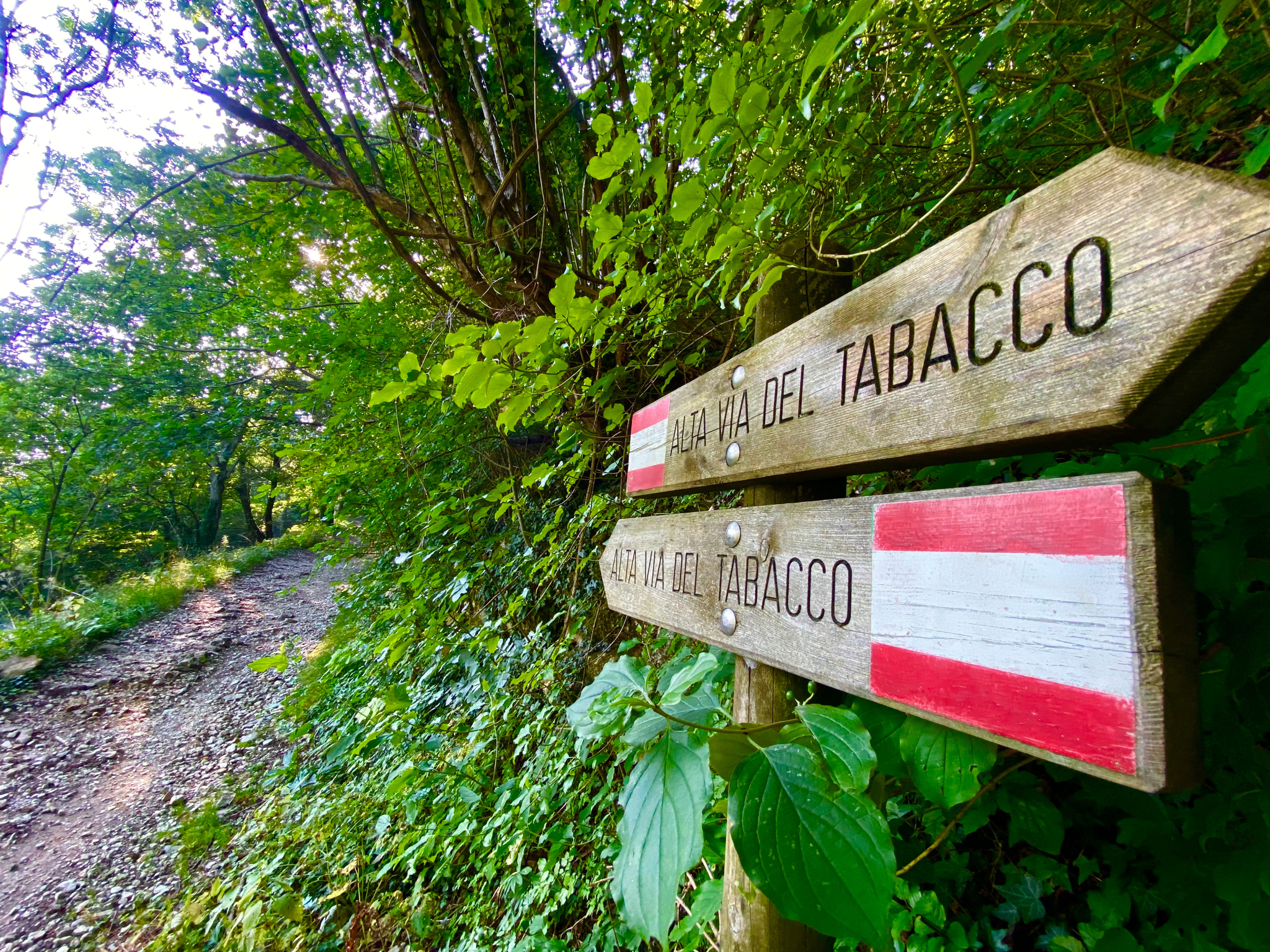
Hike an old smugglers’ road – Alta Via del Tabacco
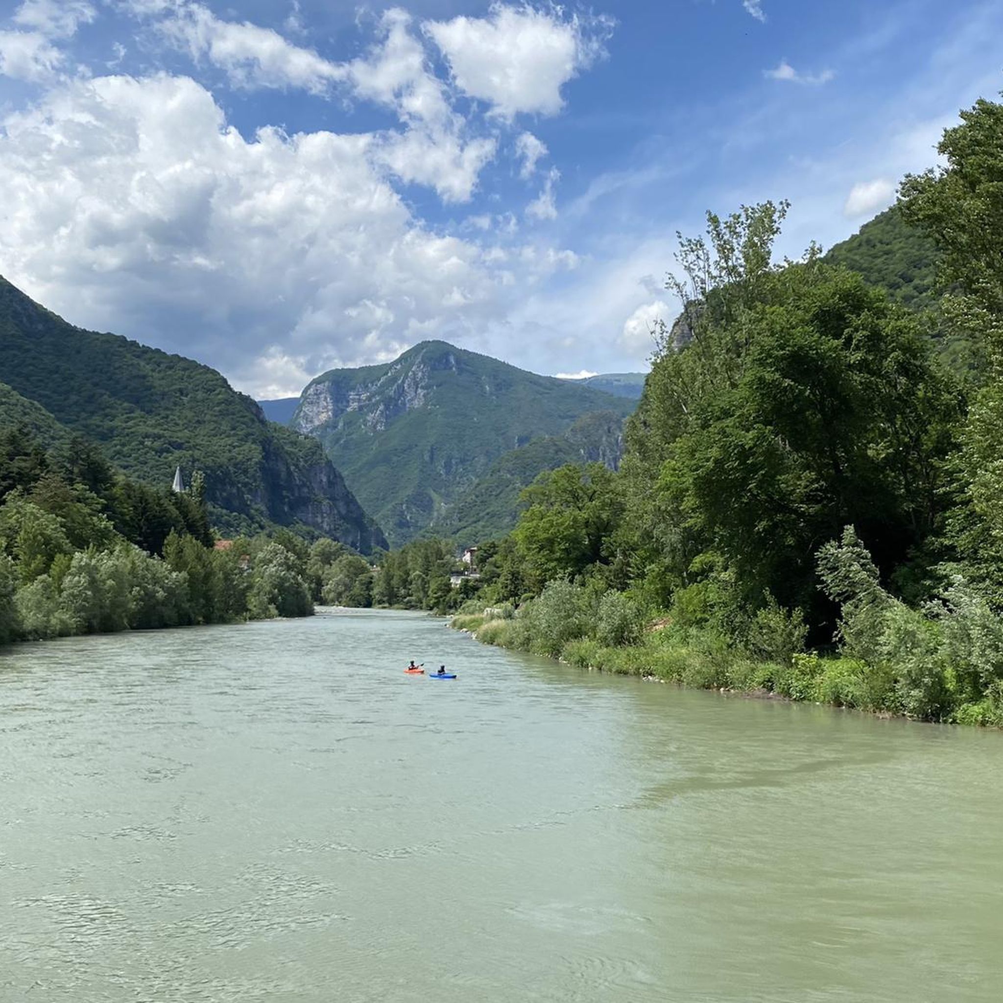
MTB Trails around Campolongo Sul Brenta
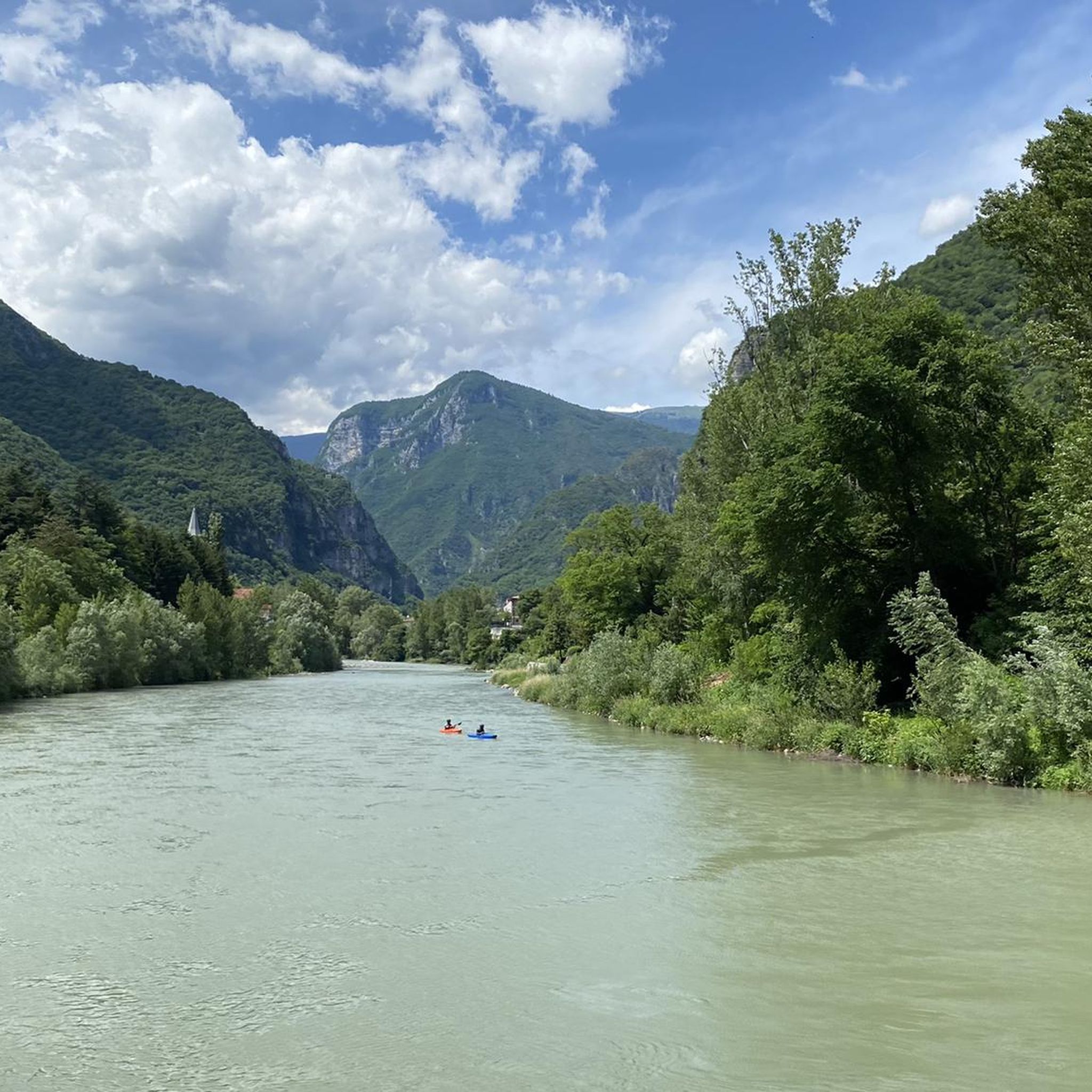
Hiking around Campolongo Sul Brenta
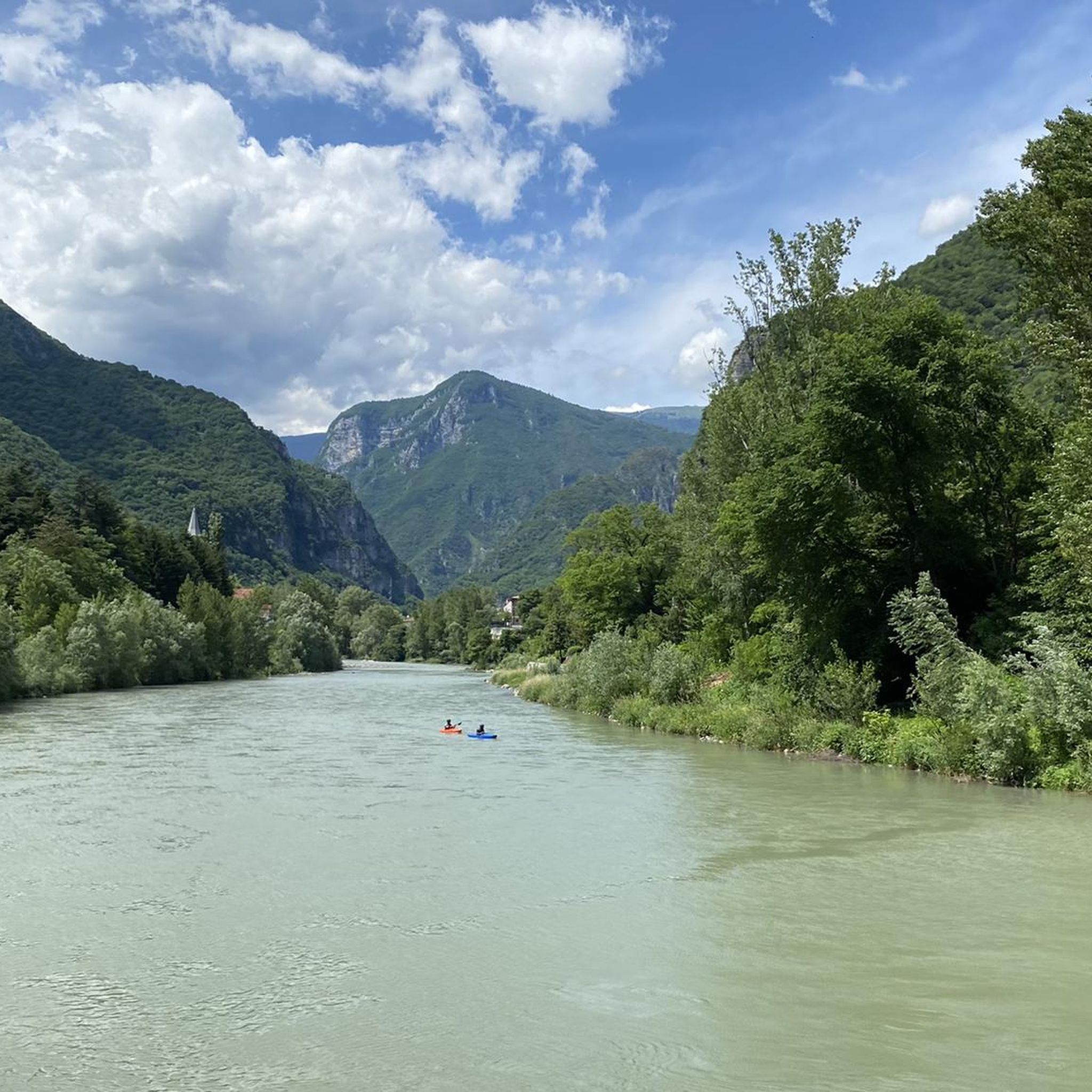
Road Cycling Routes around Campolongo Sul Brenta
Running Trails around Campolongo Sul Brenta

Gravel biking around Campolongo Sul Brenta
Mountain Hikes around Campolongo Sul Brenta
Other adventures around Campolongo Sul Brenta

Tips from the Community

Heavily frequented cycle path, but which is not overcrowded at least in late summer/autumn. Away from the cycle path, there are also beautiful paths to discover if you don't shy away from a few meters of altitude.
0
0

The Brenta cycle path is a beautiful bike route (trekking bikes, mountain bikes, and gravel bikes are recommended, as there are both paved and light dirt sections on the banks) that connects the mountains of Trento to the lagoon of Venice, passing through Bassano del Grappa and Padua. It is a total of about 175 kilometers long, has comfortable roads, and is easy for everyone to cycle.
0
0
historic mountain road with eight hairpin bends, the Tagliata della Scala and the Tagliata delle Fontanelle. They are located between the Valsugana and the territory of Feltre, in Veneto. The fortifications: Between 1892 and 1895, the Tagliata della Scala in the lower part and the Tagliata delle Fontanelle in the upper part were built to defend the border. The walkway: The two parts are joined by a long covered gallery with loopholes. War: They did not play a major military role during World War I and were later abandoned.
0
0

Place to eat and cool down in summer
0
0
The Brenta cycle path restored after the devastating landslide. Regular and essential carriageway, coolness from the shade and the Brenta river flowing alongside
0
0
Essential carriageway. Cool due to the shade and the water of the Brenta river flowing alongside
0
0


Valstagna is a historic town in the province of Vicenza, today the capital of the scattered municipality of Valbrenta, located in the suggestive setting of the Valsugana valley. Perched along the right bank of the Brenta river, it is nestled between the waters and the imposing rock faces of the Altopiano dei Sette Comuni (Seven Municipalities Plateau). The town has inextricably linked its history to the Republic of Venice: for centuries it was an important centre for timber floating, with wood being sent from the mountains on rafts to the shipyards of the Venetian Arsenal. This ancient tradition is revived every summer in the famous Palio delle Zattere (Raft Race). Valstagna is an ideal destination for lovers of sport and nature: it is an international benchmark for kayaking and rafting on the Brenta, it hosts the famous natural complex of the Grotte di Oliero (Oliero Caves) and it is the starting point of the Calà del Sasso, a historic staircase with 4,444 steps that climbs up to Asiago.
0
0
Frequently Asked Questions
How many touring cycling routes are available in Campolongo Sul Brenta?
There are over 200 touring cycling routes around Campolongo Sul Brenta, offering a wide variety of options for different skill levels and preferences. The komoot community has explored these routes extensively, with over 14,000 touring cyclists using komoot to discover the area.
What are the main natural features I'll encounter while cycling in Campolongo Sul Brenta?
Touring cycling routes in Campolongo Sul Brenta are largely defined by the picturesque Brenta River valley. You'll find paths winding alongside the river, offering serene views, as well as routes that ascend to provide breathtaking elevated perspectives of the plain below. The landscape also features beautiful forests and unique karstic caves, adding to the natural diversity of the region.
Are there easy touring cycling routes suitable for beginners or families?
Yes, Campolongo Sul Brenta offers a good selection of easy touring cycling routes. There are 30 routes specifically rated as easy. An excellent option for a relaxed ride is the Villa Angarano – Bassano del Grappa loop from Solagna, which is an easy 9.2 miles (14.8 km) path exploring the river valley and passing cultural landmarks.
Are there challenging routes for experienced touring cyclists?
Absolutely. For experienced touring cyclists seeking a challenge, there are 117 routes rated as difficult. A notable option is the Cyclopedestrian bridge – View of Costalunga loop from Solagna, a 39.3 miles (63.3 km) trail with significant elevation changes, often completed in about 5 hours 15 minutes. Another demanding route is the Rialto Bridge of Valstagna – Brenta Cycle Path loop from San Nazario, covering 32.0 miles (51.5 km) with considerable climbs.
What do other cyclists say about touring in Campolongo Sul Brenta?
The touring cycling routes in Campolongo Sul Brenta are highly regarded by the komoot community, holding an average rating of 4.4 stars from over 900 reviews. Cyclists often praise the scenic beauty of the Brenta River, the diverse terrain ranging from riverside paths to elevated viewpoints, and the well-maintained routes that cater to various skill levels.
Are there any circular touring cycling routes in the area?
Yes, many of the touring cycling routes in Campolongo Sul Brenta are designed as loops, allowing you to start and end at the same point. Examples include the popular Rialto Bridge of Valstagna – Brenta Cycle Path loop from San Nazario and the West Gate of Marostica – View of Marostica Castle loop from Solagna, which offers a 41.6 km ride with views of Marostica Castle.
What historical landmarks can I see along the touring cycling routes?
The region has a rich history, including traces of the Great War. Some routes incorporate historical elements like trenches and wartime tunnels. While cycling, you might encounter sites such as the Monte Grappa War Memorial or the Bassano Refuge and Casa Armata del Grappa, which are significant historical points in the broader area.
Are there any interesting natural attractions or caves to explore near the cycling paths?
Yes, the area around Campolongo Sul Brenta features fascinating natural attractions. You can find the Oliero Caves, which are karstic caves, and the Oliero River nearby. Another unique geological feature is the Monte Corno Rock Labyrinth, offering a different kind of natural exploration.
What are some scenic viewpoints accessible by bike?
Many routes in Campolongo Sul Brenta offer panoramic views, especially those that ascend from the valley floor. The Cyclopedestrian bridge – View of Costalunga loop from Solagna is known for leading through varied terrain with panoramic views. Elevated positions throughout the region provide glimpses of the plain below and the surrounding Brenta River valley.
Is the Valsugana Cycle Path accessible from Campolongo Sul Brenta?
The Valsugana cycle-pedestrian path is a significant route in the broader region, known for its smooth flow along the Brenta River, connecting Pergine with Bassano del Grappa over 80 km. While Campolongo Sul Brenta is situated along the Brenta River, routes like the Rialto Bridge of Valstagna – Brenta Cycle Path loop from San Nazario directly utilize sections of the Brenta Cycle Path, which is part of this larger network, allowing cyclists to experience its beauty and flow.
Are there any routes that combine cycling with cultural sites like villas?
Yes, some routes offer a blend of natural scenery and cultural landmarks. The Villa Angarano – Bassano del Grappa loop from Solagna is an excellent example, allowing you to explore the river valley while passing by significant cultural sites like Villa Angarano.
Most popular routes around Campolongo Sul Brenta
Most popular attractions around Campolongo Sul Brenta

Get inspired with the komoot mobile app


Explore more
Browse the best Cycling routes in other regions.
