The best walks and hikes around Velo D'Astico
4.4
(405)
2,186
hikers
39
hikes
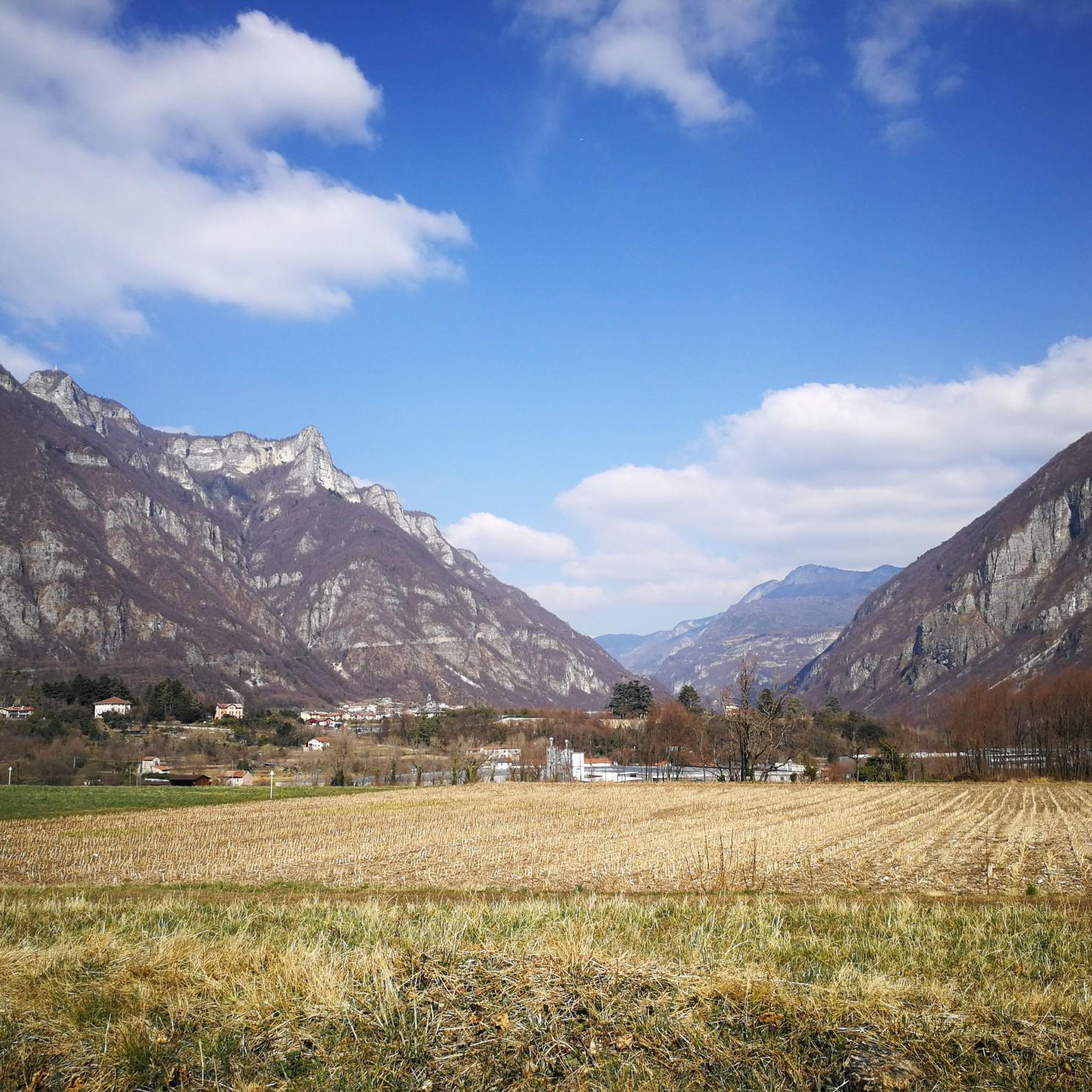
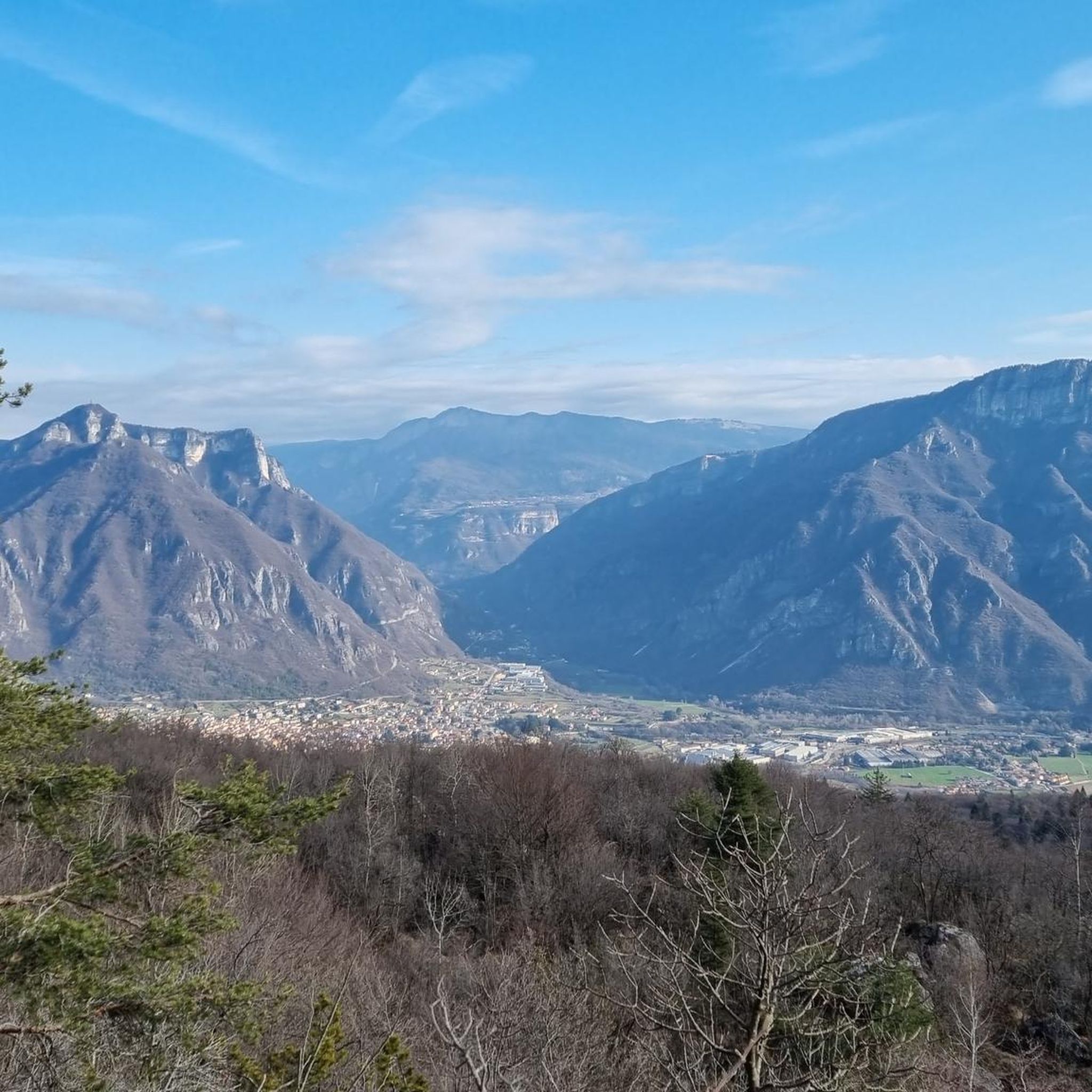
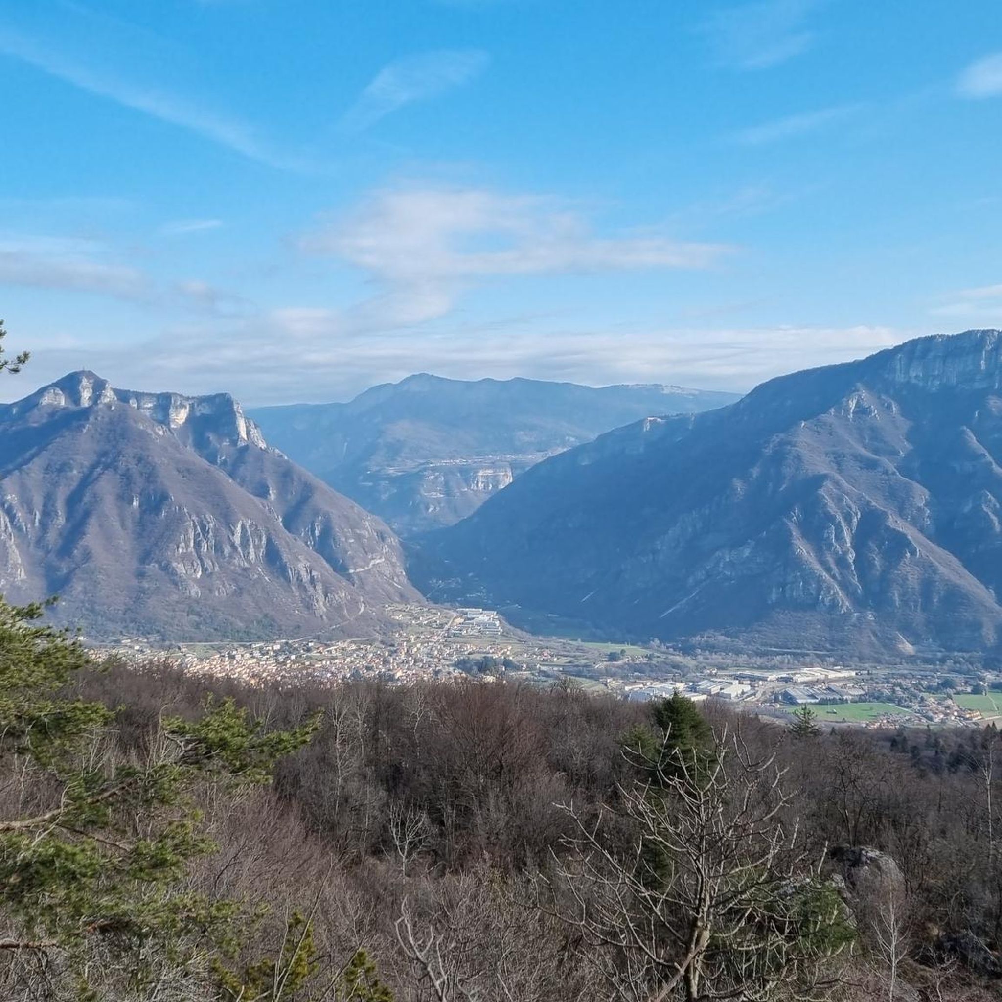
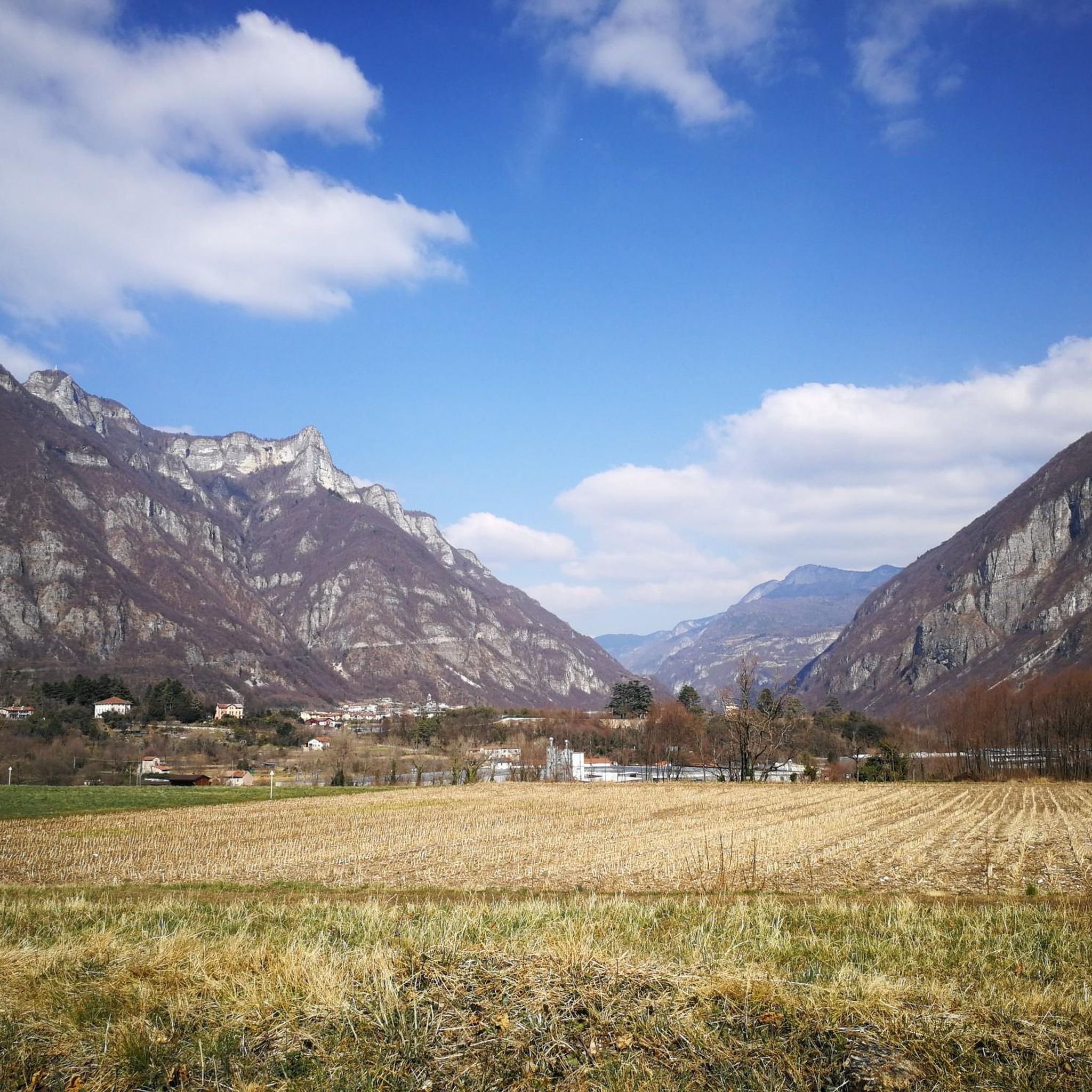
Hiking around Velo D'Astico offers diverse natural features, characterized by mountainous terrain with prominent peaks and plateaus. The region includes significant mountains like Monte Novegno and the Pasubio massif, alongside the Novegno and Tretto Plateaus. The Astico River has carved a gorge through the area, adding to the dramatic scenery, with trails frequently traversing lush forests and open alpine pastures.
Best hiking trails around Velo D'Astico
- The most popular hiking route is Colletto Piccolo WWI trail from Bosco di Tretto…
Last updated: August 17, 2026
4.8
(8)
66
hikers
10.7km
04:34
620m
620m
Alpine trail through WWI ruins and underground galleries with sweeping views over Veneto peaks.
3.3
(3)
12
hikers
11.2km
06:21
1,180m
1,180m
Hike the difficult 7.0-mile San Ubaldo - Monte Priaforà Trail, gaining 3860 feet for panoramic views and a natural rock arch.

Sign up for free
10.7km
05:31
960m
960m
Hike the difficult Val del Rio Trail, covering 6.6 miles (10.7 km) with 3160 feet (963 metres) of elevation gain in about 5.5 hours.
7.11km
04:18
820m
820m
Historic WWI trail to Sella Tre Bocchette from Velo d'Astico is a difficult 4.4-mile hike with 2689 feet of gain, exploring WWI tunnels and
4.6
(46)
267
hikers
11.9km
03:14
170m
170m
Moderate hike. Good fitness required. Easily-accessible paths. Suitable for all skill levels.
Get access to more routes and recommendations from other explorers.
Sign up for free
Already have an account?
Our route recommendations are based on thousands of hikes, rides, and runs completed by other people on komoot.
Start today with a free account
Your next adventure awaits.
Login or Signup

Tips from the Community

An old railway converted into a cycle-pedestrian path, along which you can find excellent refreshment points in the old railway houses.
0
0

Slightly technical but very satisfying climb, the summit is very beautiful
1
0

Caves and trenches built to defend the valley during the First World War
1
0

This is a natural arched window, which allows passage and a view from the west side to the east side and vice versa, of Mount Priaforà. Located just below the summit of the mountain itself. A strategic place during the Great War, it was conquered by the Italian army with enormous sacrifices and costs. Below the summit of the mountain there are imposing military tunnels with windows overlooking the Astico valley and towards the Posina valley. The summit cross is noteworthy
0
0

Military depot used during the war
1
0

This secluded base of an Italian barrack from the First World War hides the entrance to a truly unexpected and complex tunnel! You first come across a skylight (fireplace? kitchen?) and then a series of internal rooms (storages? housing?). There are metal hooks and wooden cabinets that are more than a hundred years old! You emerge beyond the rocky spur. The entire ridge from Novegno to Summano is dotted with military works, to control and target the Val d'Astico, a possible invasion route by the Austro-Hungarian army.
0
0
Italian military post from the First World War dug into the rock spur of Mount Brazòme, with two internal chambers for cannons and a third - smaller one - perhaps for a machine gun (?): all the guns were strategically aimed at Arsiero and the crossroads between Val d'Astico and Val Posina, a possible invasion route for the Austro-Hungarian army towards the Po Valley. The entrance to the tunnel emerges in the middle of the woods and might seem like one of the countless shelters and deposits just a few meters long, but instead it reveals unexpected depths and dimensions!
0
0

Done last weekend, the "little men" placed in the path help a lot, since for the first part, there are not many indications ...
1
0
Frequently Asked Questions
How many hiking trails are available in Velo D'Astico?
Velo D'Astico offers a comprehensive network of over 30 hiking trails. These routes cater to various fitness levels, ranging from easy walks to challenging mountaineering expeditions, ensuring there's something for every hiker.
Are there easy or family-friendly hiking options in Velo D'Astico?
Yes, Velo D'Astico has several options suitable for families and those seeking easier walks. The region research highlights the Busa Novegno loop, which winds through forests and alpine pastures, and the Malghe Tour in Schio, ideal for families and nature lovers. Additionally, the Piovene Rocchette - Arsiero bicycle and pedestrian path, following a former railway, offers an accessible and gentle option amidst scenic mountain views.
What kind of natural features can I expect to see on the trails?
Hiking in Velo D'Astico immerses you in diverse natural landscapes. You'll encounter mountainous terrain with prominent peaks like Monte Novegno and the Pasubio massif, along with the expansive Novegno and Tretto Plateaus. The Astico River has carved a dramatic gorge through the area, and you can visit the Contrà Pria Pools. Trails frequently traverse lush forests and open alpine pastures, offering tranquil and scenic experiences.
Are there any historical landmarks or points of interest along the hiking routes?
Many trails in Velo D'Astico are rich in history, particularly those related to the Great War. Hikers can explore sites like the Gun Emplacement Tunnel of Monte Cengio and the Grenadier's Leap. The 'In the Footsteps of the Chamois' trail in the Novegno Massif also features military paths and the Priaforà summit, blending nature with historical significance.
Are there any circular hiking routes in the area?
Yes, Velo D'Astico offers several appealing circular routes. One popular option is the Stone Bridge over the Posina – Old Railway of Gran Passo loop from Velo d'Astico, which covers varied terrain including an old railway line. Other notable loops mentioned in the region research include the challenging Achille Papa Hut – Strada Scarubbi loop and the scenic 4 Peaks Trail in Schio, which connects four elevations of the Tretto Plateau.
What do other hikers enjoy most about hiking in Velo D'Astico?
The hiking routes in Velo D'Astico are highly rated by the komoot community, with an average score of 4.5 stars from over 300 reviews. Hikers frequently praise the diverse terrain, from mountainous paths to river gorges and extensive forests, as well as the well-maintained network of trails that cater to various difficulty levels.
What is the best time of year to go hiking in Velo D'Astico?
The best time for hiking in Velo D'Astico generally spans from spring through autumn, when the weather is mild and the trails are clear. During these seasons, you can fully enjoy the lush forests, alpine pastures, and panoramic views. Winter hiking is possible, but higher elevations like Monte Novegno may experience snow, requiring appropriate gear and caution.
Are there any dog-friendly hiking trails in Velo D'Astico?
Many trails in Velo D'Astico are suitable for hiking with dogs, allowing you to explore the natural beauty with your canine companion. It's always recommended to keep dogs on a leash, especially in areas with wildlife or livestock, and to check for any specific local regulations or protected areas that might have restrictions.
Where can I find parking for hiking trailheads in Velo D'Astico?
Parking availability varies by trailhead. For popular routes, designated parking areas are often available near the starting points, particularly in villages or at key access points to the mountains and plateaus. It's advisable to check specific route descriptions or local signage for the most convenient parking options for your chosen hike.
Can I access hiking trails in Velo D'Astico using public transport?
While some trailheads might be accessible via local bus services, public transport options can be limited for reaching more remote starting points in Velo D'Astico's mountainous terrain. For many routes, especially those deep within the natural parks or plateaus, personal transport is often the most convenient way to access the trailheads. It's recommended to research specific bus routes and schedules if you plan to rely on public transport.
Are there any challenging mountaineering routes in the Velo D'Astico region?
Yes, Velo D'Astico is known for its challenging mountaineering routes. The region offers 19 difficult trails, including routes with significant elevation gain like the San Ubaldo - Monte Priaforà Trail, which leads to panoramic views from Monte Priaforà. Other demanding options include mountaineering loops from Sasso delle Poe and Passo Xomo, requiring good to very good fitness levels and sturdy shoes.
What is the typical duration of hikes in Velo D'Astico?
The duration of hikes in Velo D'Astico varies widely depending on the trail's length and difficulty. For example, the Colletto Piccolo WWI trail from Bosco di Tretto, a difficult 10.7 km route, typically takes around 4 hours and 34 minutes. A moderate 11.4 km trail like the Stone Bridge over the Posina – Old Railway of Gran Passo loop from Velo d'Astico can be completed in about 3 hours and 1 minute. Shorter, easier walks will naturally take less time.
Most popular routes around Velo D'Astico
Most popular attractions around Velo D'Astico

Get inspired with the komoot mobile app


Explore more
Browse the best Hikes in other regions.
