The best road cycling routes around Luserna
4.5
(591)
16,353
riders
79
rides
Road cycling around Luserna offers diverse terrain, from verdant forests to high alpine highlands, situated at an elevation of approximately 1,333 meters. The region features significant elevation changes, deep valleys, and natural terracing over the Valle dell'Astico. Cyclists can navigate spruce woods, grassy hills, and vast meadows, with routes often featuring paved surfaces. Unique microclimates support lush forests, adding to the varied landscape.
Best road cycling routes around Luserna
- The most popular road cycling route is Tour of Manghen, a 66.8 miles (107.6 km) trail that takes 6 hours 17 minutes to complete. This challenging route features significant elevation gain through alpine landscapes.
- Another top favourite among local road cyclists is Passo Manghen – Brenta Cycle Path loop from Levico Terme, a difficult 47.5 miles (76.5 km) path. This route offers extensive climbs and panoramic views across the region.
- Local road cyclists also love the Lake Levico – Panoramic View of Lake Levico loop from Levico Terme, a 22.4 miles (36.1 km) trail leading through mountainous terrain with lake vistas, often completed in about 2 hours 22 minutes.
- Road cycling around Luserna is defined by spruce woods, high alpine highlands, and deep valleys. The network offers options for different ability levels, from moderate rides to demanding climbs.
- The routes in Luserna are highly rated by the komoot community with an average score of 4.6 stars from over 500 reviews. More than 16,000 road cyclists have used komoot to explore Luserna's varied terrain.
Last updated: July 8, 2026
4.9
(36)
1,609
riders
108km
06:18
2,680m
2,680m
Hard road ride. Very good fitness required. Some segments of this route may be unpaved and difficult to ride.
4.5
(21)
739
riders
70.7km
04:08
1,640m
1,640m
Hard road ride. Very good fitness required. Some segments of this route may be unpaved and difficult to ride.

Sign up for free
4.8
(9)
360
riders
85.0km
05:03
2,180m
2,180m
Hard road ride. Very good fitness required. Some segments of this route may be unpaved and difficult to ride.
4.5
(14)
626
riders
76.5km
04:34
1,870m
1,870m
Hard road ride. Very good fitness required. Mostly well-paved surfaces and easy to ride.
4.8
(12)
248
riders
35.1km
02:39
1,410m
1,410m
Hard road ride. Very good fitness required. Mostly well-paved surfaces and easy to ride.
Get access to more routes and recommendations from other explorers.
Sign up for free
Already have an account?
Our route recommendations are based on thousands of hikes, rides, and runs completed by other people on komoot.
Start today with a free account
Your next adventure awaits.
Login or Signup
Popular around Luserna

The Path of Peace – journey into Trentino's history
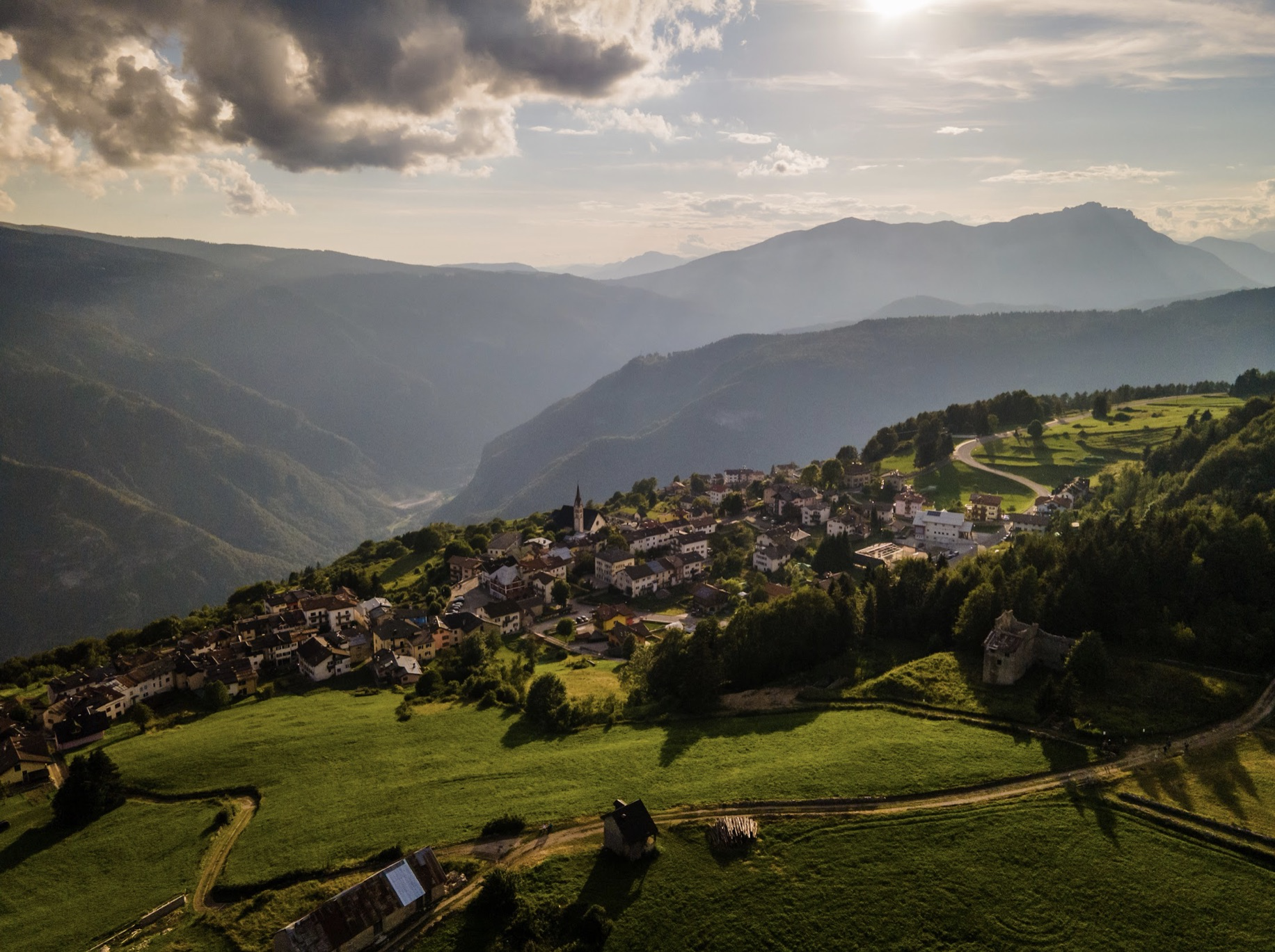
Alpe Cimbra Tour – amazing MTB in Northern Italy
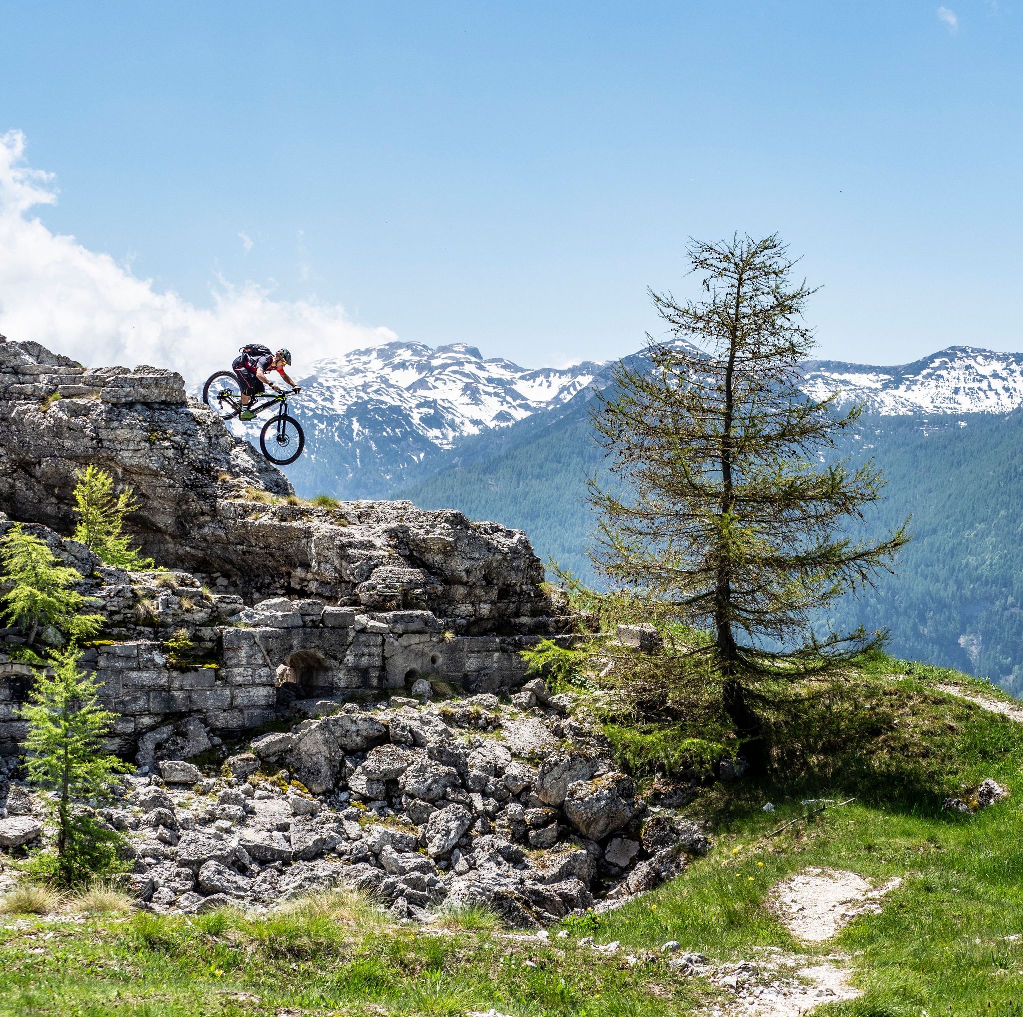
Free your energy! The mountain bike routes of Alpe Cimbra
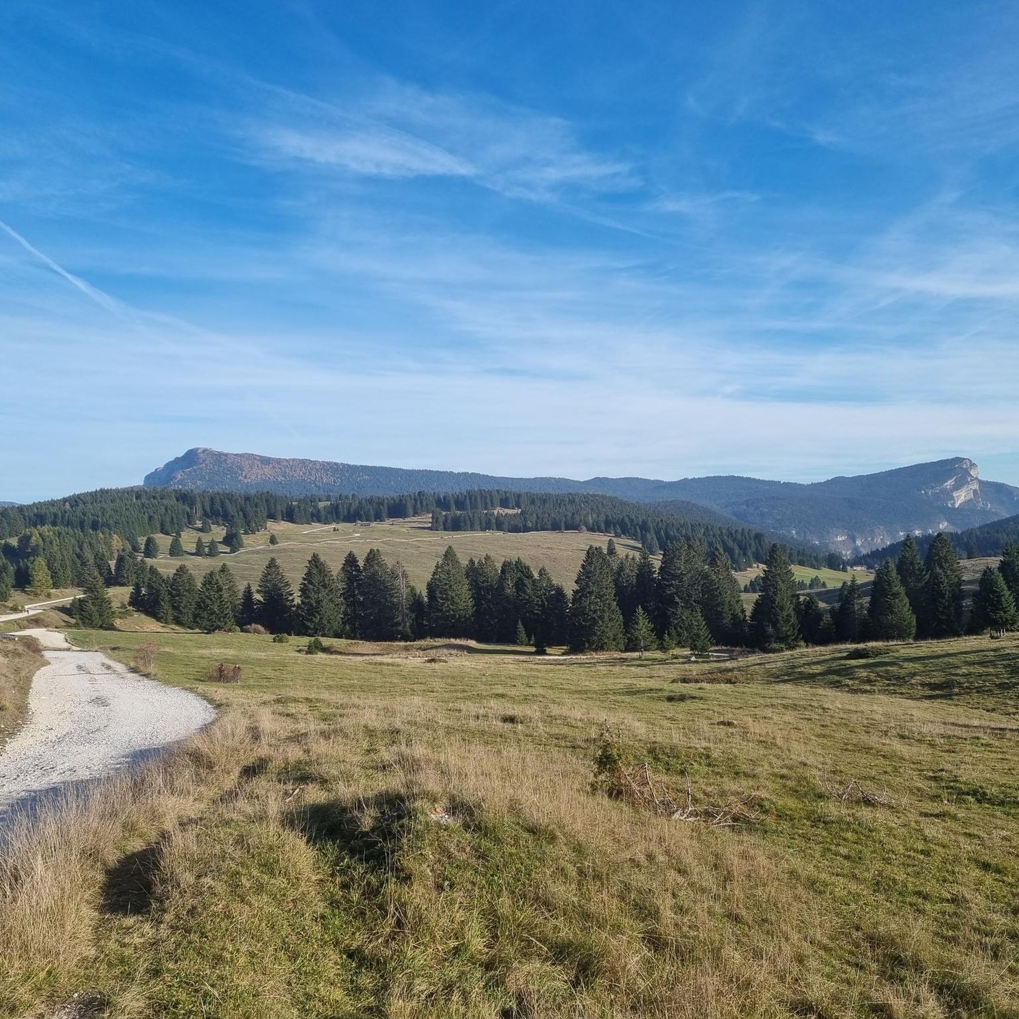
Hiking around Luserna
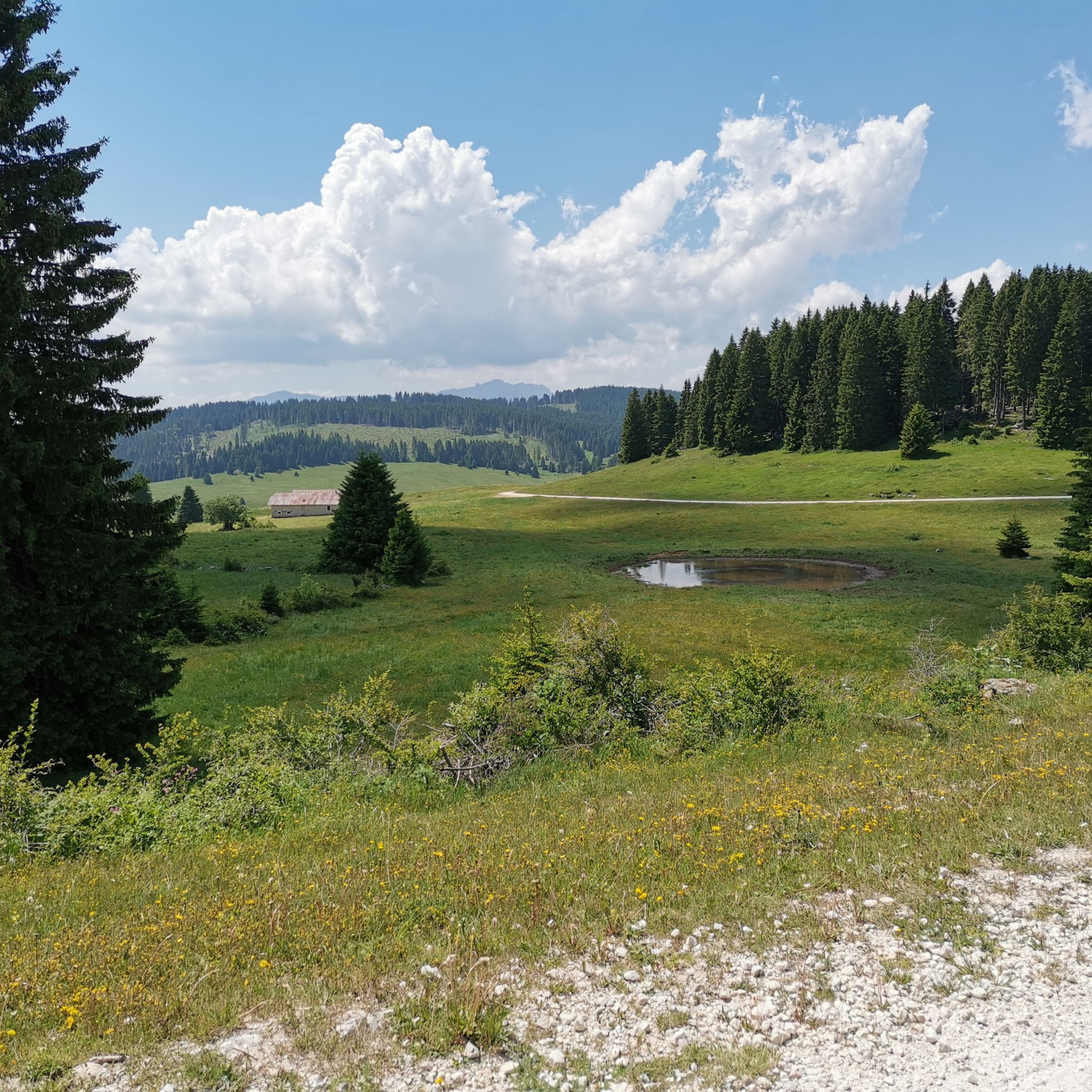
Cycling around Luserna
MTB Trails around Luserna
Gravel biking around Luserna

Mountain Hikes around Luserna
Running Trails around Luserna
Other adventures around Luserna


Tips from the Community

Lake offering coolness and relaxation
0
0
The main center with the seat of the museum and the Cimbrian cultural institute.
0
0

Well-developed road in good condition, which climbs up the mountain from Levico. Long sections between the hairpin bends in full sun do not make this climb exactly easy. Only the lower part is shady. The curves are mostly well visible, and due to the large road width, I find the road relatively safe as a cyclist. However, it may make sense to use this side as a descent.
0
0
Starting point to get to the summit of the mountain
1
0
If it were possible to have the number of people who stopped at this point to admire the fabulous panorama, it would surely be hundreds of thousands.
1
0
The second tunnel you encounter during the ascent
0
0
Every stretch of this road offers exceptional views of Lake Caldonazzo and the mountains of the Alps chain.
0
0
The Kaiserjegerstrasse tunnels dug by hand to build the military road for supplying the front line of the Great War. At the exit of the first tunnel going uphill, you can see the old road being restored for hiking and MTB.
0
0
Frequently Asked Questions
How many road cycling routes are available around Luserna?
Luserna offers a wide selection of road cycling routes, with over 80 different tours available. These routes cater to various skill levels, from moderate rides to very demanding climbs, ensuring there's something for every road cyclist.
What kind of terrain can I expect when road cycling in Luserna?
The terrain around Luserna is incredibly diverse, ranging from verdant forests and spruce woods to high alpine highlands and vast meadows. You'll encounter significant elevation changes, deep valleys, and natural terracing over the Valle dell'Astico. Most routes feature paved surfaces, though some harder segments might include unpaved sections, demanding very good fitness.
Are there challenging road cycling routes for experienced riders in Luserna?
Yes, Luserna is known for its challenging routes, especially as part of the 'Pinerolese Land of Bikes' with its 'great climbs.' For instance, the Tour of Manghen is a demanding 107.6 km route with over 2,600 meters of elevation gain. Another difficult option is the Passo Manghen – Brenta Cycle Path loop from Levico Terme, covering 76.5 km with nearly 1,900 meters of climbing.
Are there any easier or more moderate road cycling options for beginners or families?
While many routes are challenging, Luserna does offer moderate options. For example, a 20.8 km loop from Luserna San Giovanni to the Waldensian Temple and Church of San Martino has a manageable 430 meters of elevation gain. For a scenic ride with lake views, consider the Lake Levico – Panoramic View of Lake Levico loop from Levico Terme, which is 36.1 km long.
What notable landmarks or historical sites can I see along the road cycling routes?
Luserna's routes are rich in history and culture. You can cycle past significant sites like Fort Luserna, a beautifully restored historical fortress, or explore the Costabella Open-Air Museum. The region is also deeply connected to Waldensian history, with routes leading to sites like the Waldensian Temple of Serre d'Angrogna. Additionally, you can discover traces of World War I, including the Costalta cemetery and Millegrobbe trenches.
Are there any scenic viewpoints or natural features to look out for?
Absolutely. The region offers breathtaking panoramic views from high peaks and grassy hills overlooking endless pastures. You'll cycle through lush spruce woods and high alpine highlands. The natural terracing over the Valle dell'Astico creates dramatic deep valleys. Keep an eye out for the unique microclimates that foster unusually large white fir trees, highlighted by routes like the 'Giants of the Forest'.
What do other road cyclists enjoy most about road cycling in Luserna?
The road cycling routes around Luserna are highly rated by the komoot community, with an average score of 4.6 stars from over 500 reviews. Cyclists frequently praise the diverse terrain, the stunning alpine landscapes, and the variety of routes that cater to different fitness levels, from challenging climbs to scenic loops with historical points of interest.
What is the best time of year for road cycling in Luserna?
The best time for road cycling in Luserna is typically during the warmer months, from late spring to early autumn. This period offers more stable weather conditions and ensures that higher alpine passes are clear of snow, allowing access to the full range of routes and their stunning views.
Are there any circular road cycling routes available?
Yes, many of the road cycling routes around Luserna are designed as loops, allowing you to start and finish in the same location. Examples include the 47.3 km 'Waldensian Temple – Pis Waterfall loop' and the 31.1 km loop exploring the 'Church of San Martino – View of Val Pellice' from Luserna San Giovanni.
Where can I find places to eat or stay near the cycling routes?
Luserna and its surrounding areas offer various options for refreshments and accommodation. You'll find cafes and pubs in the villages, and for a more rustic experience, consider visiting mountain huts. For example, the Huts and Cabins around Luserna guide lists places like Casarota Mountain Hut and Millegrobbe Alpine Hut, which can be great stops along your ride.
Is there public transport or parking available for cyclists in Luserna?
Luserna is accessible, and while specific public transport details for cyclists might vary, parking is generally available in and around the village centers, especially at common starting points for routes. For detailed information on reaching Luserna, you can consult resources like Italia.it or Visit Trentino.
Can I rent a road bike in Luserna?
While the guide focuses on routes, Luserna and the broader Trentino region are well-equipped for cycling tourism. It is advisable to check with local tourist information centers or sports shops in Luserna or nearby larger towns for current bike rental options to ensure you have the right equipment for the varied terrain.
Most popular routes around Luserna
Most popular attractions around Luserna

Get inspired with the komoot mobile app


Explore more
Browse the best Road cycling routes in other regions.
