The best walks and hikes around Schleusegrund
4.6
(15552)
52,491
hikers
115
hikes
Hiking around Schleusegrund offers diverse terrain within the UNESCO Thuringian Forest Biosphere Reserve. The region features extensive forests, blooming mountain meadows, and valleys, providing varied landscapes for outdoor activities. Notable natural features include the Schönbrunn Drinking Water Reservoir and the unique conglomerate rock structures of Gießübler Schweiz. Trails often lead along wild streams and through areas with significant elevation changes.
Best hiking trails around Schleusegrund
- The most popular hiking route is Gießübler Switzerland nature trail, a 5.3 miles (8.5…
Last updated: October 7, 2026
4.6
(115)
324
hikers
8.46km
02:39
230m
230m
Moderate hike. Good fitness required. Mostly accessible paths. Sure-footedness required.
4.7
(413)
1,184
hikers
Hard hike. Very good fitness required. Easily-accessible paths. Suitable for all skill levels.

4.9
(42)
161
hikers
7.72km
02:10
160m
160m
Moderate hike. Good fitness required. Easily-accessible paths. Suitable for all skill levels.
3.9
(43)
168
hikers
Easy hike. Great for any fitness level. Easily-accessible paths. Suitable for all skill levels.
4.5
(8)
36
hikers
16.4km
05:07
530m
530m
Hard hike. Very good fitness required. Mostly accessible paths. Sure-footedness required.
Get access to more routes and recommendations from other explorers.
Already have an account?
Our route recommendations are based on thousands of hikes, rides, and runs completed by other people on komoot.
Start today with a free account
Your next adventure awaits.
Popular around Schleusegrund

Forest, vastness and water – day trips in the Thuringian Forest
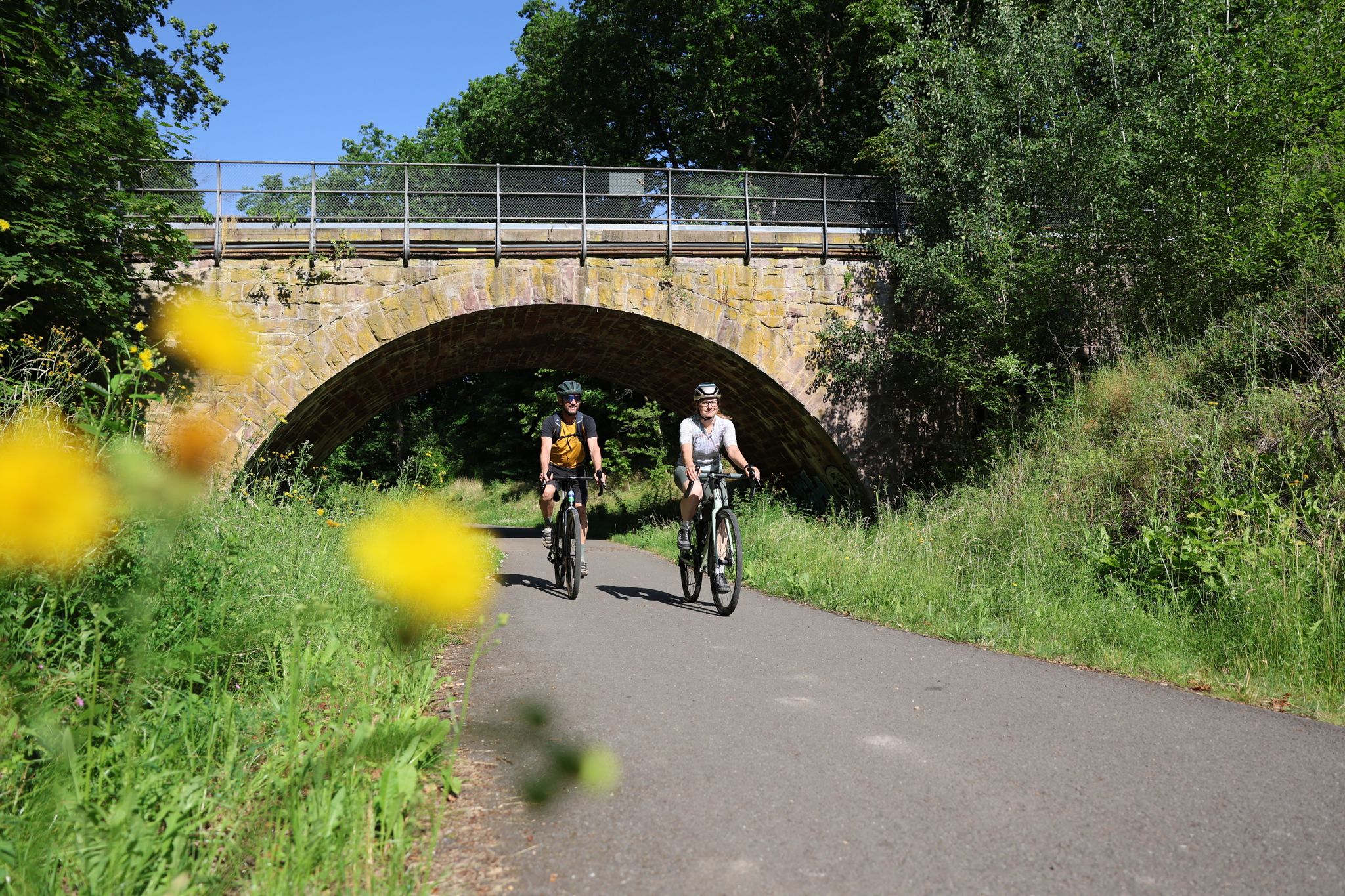
Gravel adventures in the Thuringian Forest

Cycling around Schleusegrund
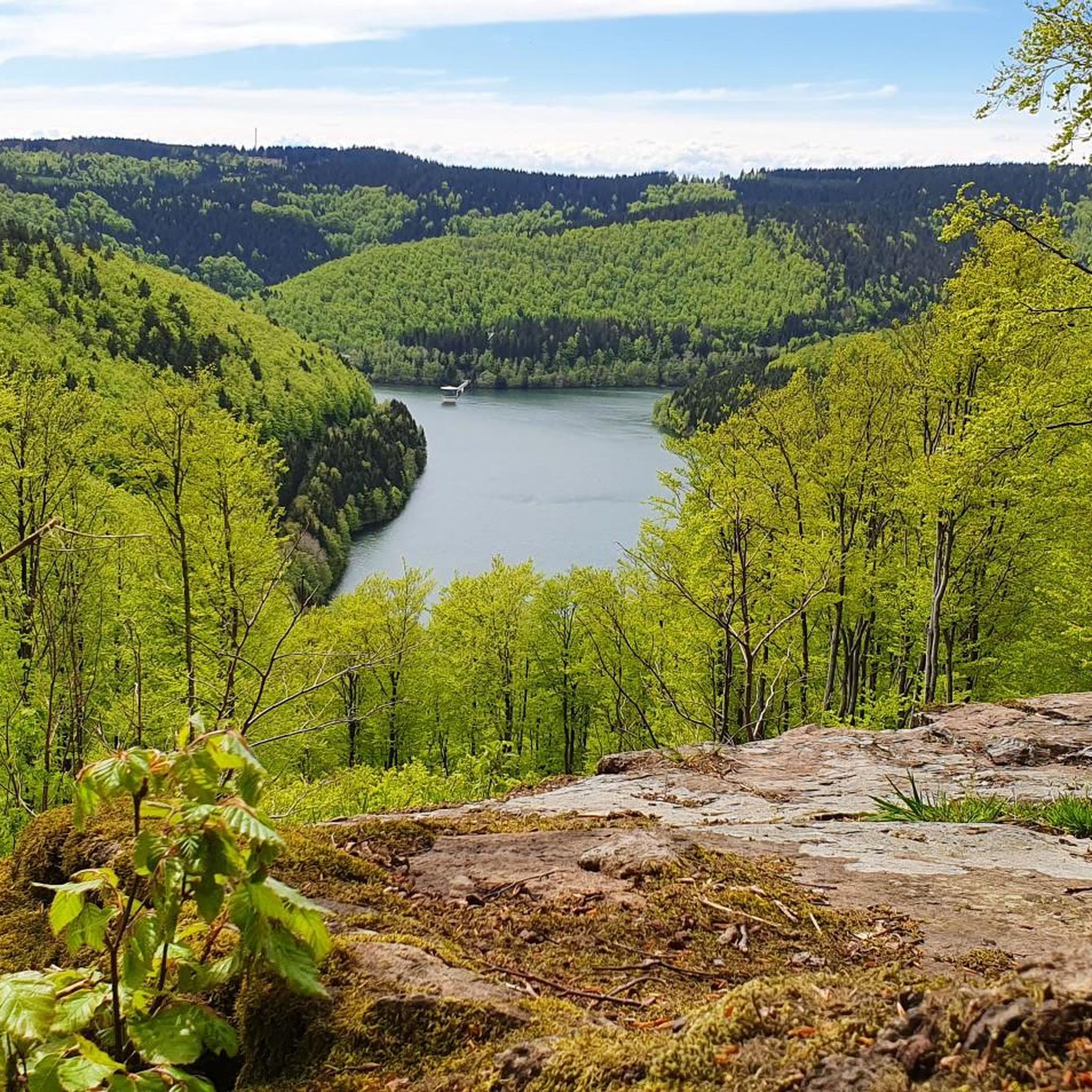
MTB Trails around Schleusegrund
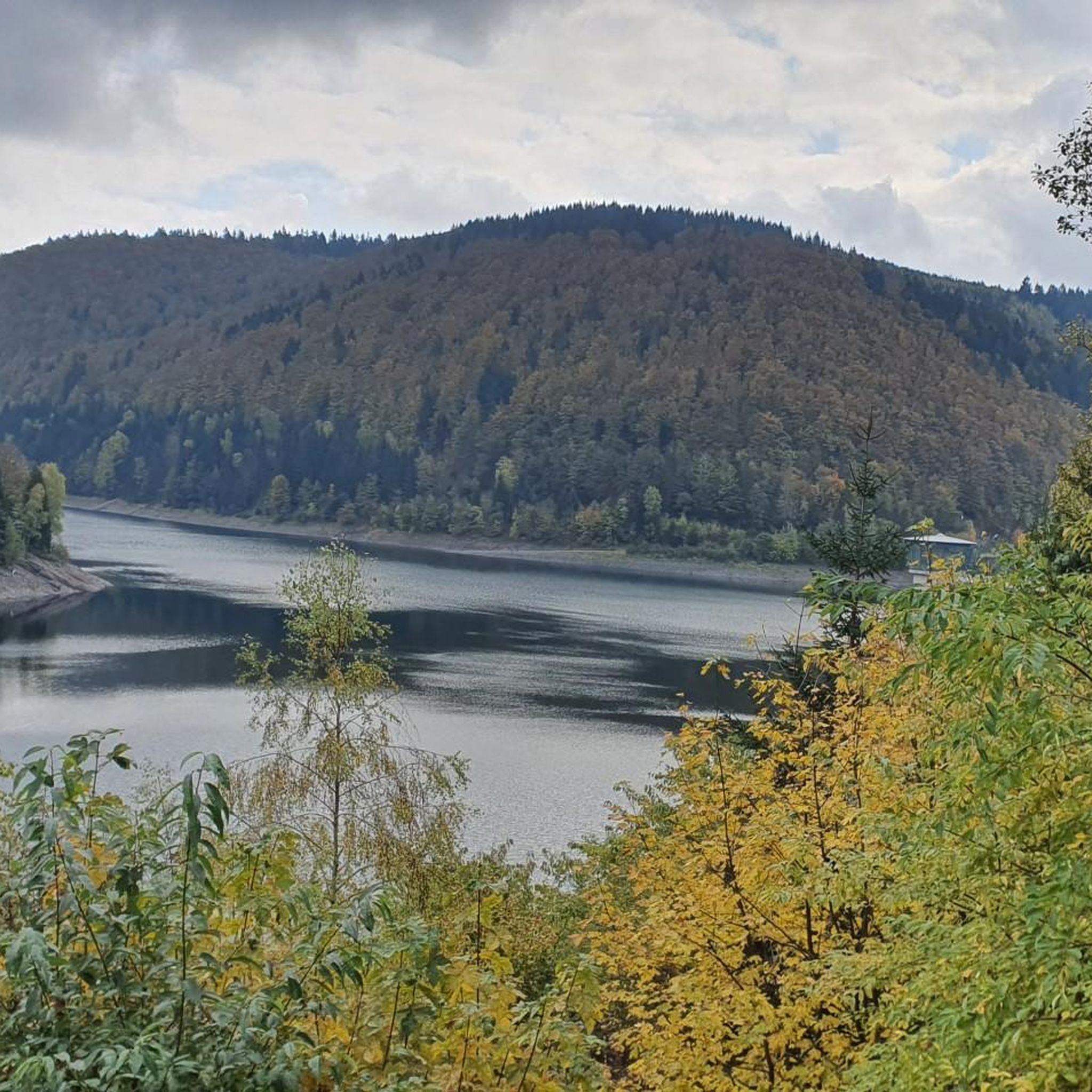
Running Trails around Schleusegrund
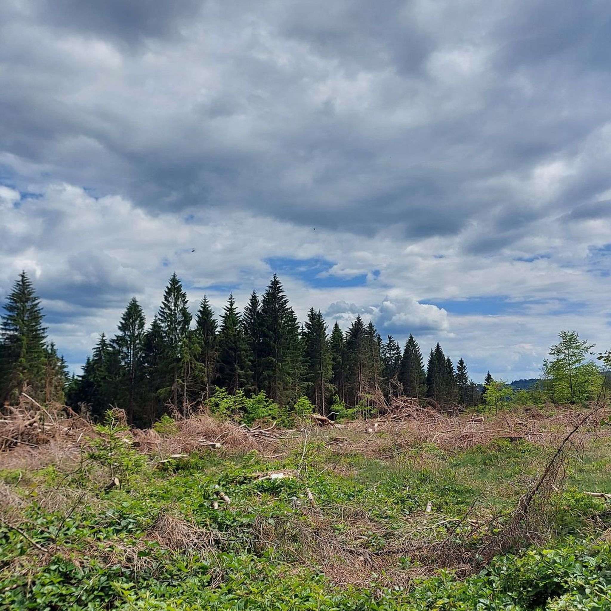
Road Cycling Routes around Schleusegrund

Gravel biking around Schleusegrund
Mountain Hikes around Schleusegrund

Tips from the Community

The loop around the Schönbrunn reservoir is about 14 km. There are enough resting places and views to enjoy are included anyway.
0
0
Always relaxing and beautiful around the reservoir!
0
0

Top location on the Rennsteig: The proximity to the famous ridge trail allows for a combination of forest descents and ridge tours. Varied topography: Steep ascents from the Tannengrund or Reuscheltal demand stamina, but reward with brisk descents. Nature experience: The reservoir, with its bays, is reminiscent of a small fjord landscape in the middle of the dense low mountain forest. Tour combinations: Perfect as a stopover or turning point for larger loops, which often start in Schleusingen or Masserberg.
3
0
The Schönbrunn dam is located in the southern Thuringian Forest in the municipality of Schleusegrund (Hildburghausen district, Thuringia). It was commissioned in 1977. The dam is located about 20 kilometers south of Ilmenau and 15 kilometers northeast of Schleusingen. The river Schleuse is dammed. Source: https://de.wikipedia.org/wiki/Talsperre_Sch%C3%B6nbrunn#:~:text=Die%20Talsperre%20Sch%C3%B6nbrunn%20liegt%20im,Gestaut%20wird%20der%20Fluss%20Schleuse.
3
0
The Schönbrunn dam in the Thuringian Forest is attractive for mountain biking due to its charming combination of idyllic, flat shore paths and challenging, hilly ascents in the surrounding mountainous terrain around the Rennsteig. The circuit offers constant views of the blue water of the reservoir and the forest-rich heights of the Thuringian Forest.
3
0

The tour and the highlights are very beautiful. To note are the very narrow paths in places, very large fallen trees over these paths, which can only be bypassed or climbed over. I was out with a dog and it was beautiful due to the prickly blackberry bushes over the paths.
0
0

The Karl-Günther monument on the Schillerhöhe in Masserberg was erected in 2001 by the Thüringer Wald Verein Masserberg. It honors Prince Karl Günther (1830–1909) of Schwarzburg-Sondershausen, who rendered services to tourism in the region. The Prince was known for his passion for nature and played a central role in the development of the area.
3
0

Magnificent valley with a meadow blooming beautifully in June.
0
0
Frequently Asked Questions
How many hiking trails are available in Schleusegrund?
Schleusegrund boasts over 110 hiking routes, catering to various skill levels. You'll find a good mix of easy walks, moderate trails, and more challenging mountain hikes throughout the region.
Are there easy hiking trails suitable for beginners or families with children?
Yes, Schleusegrund offers more than 30 easy hiking trails perfect for beginners or families. These routes are generally well-signposted and lead through diverse landscapes. For a shorter, accessible option, consider the Schönbrunn Reservoir – View of the Schönbrunn Reservoir loop from Schleusegrund, which is an easy 3.9 km path.
What kind of natural features and landmarks can I expect to see on the trails?
Hiking in Schleusegrund will lead you through extensive forests, blooming mountain meadows, and valleys. Notable natural features include the Schönbrunn Drinking Water Reservoir and the unique conglomerate rock structures of Gießübler Schweiz. You can also discover several impressive waterfalls, such as the Helms Waterfall or the Dachsbach Waterfall. For panoramic views, consider visiting the Kickelhahn Tower or the Adlersberg Observation Tower.
Are there any circular hiking routes in Schleusegrund?
Yes, many trails in Schleusegrund are designed as circular routes, allowing you to start and end at the same point. A popular option is the approximately 15 km long circular route around the Schönbrunn Drinking Water Reservoir. For a challenging loop with extensive views, try the View of the Schönbrunn Reservoir – Schönbrunn Reservoir loop from Schleusegrund.
Can I bring my dog on the hiking trails in Schleusegrund?
Generally, dogs are welcome on hiking trails in Schleusegrund. As the region is part of the UNESCO Thuringian Forest Biosphere Reserve, it's important to keep your dog on a leash, especially in protected areas and near wildlife. Always ensure your dog is well-behaved and that you clean up after them.
What is the best time of year to go hiking in Schleusegrund?
Schleusegrund is a great hiking destination year-round, but each season offers a different experience. Spring brings blooming meadows, summer provides lush green forests, and autumn transforms the landscape with vibrant colors. Winter hiking is also possible, with trails leading through snow-covered forests, though appropriate gear is essential. Always check local weather conditions before heading out.
Are there places to eat or rest along the hiking routes?
Yes, the region has several hiking huts and rest areas where you can take a break and enjoy refreshments. Examples include the Werraquell hut near Fehrenbach and a rest area at the hiking hut in Schönbrunn. These spots often offer local delicacies and a chance to recharge during your hike. You can find more information about local amenities on the Schleusegrund Tourism website.
How can I get to the hiking trails using public transport?
While many trails are accessible by car, public transport options are available to reach various starting points in Schleusegrund. It's advisable to check local bus schedules and routes in advance, as services might be less frequent in some areas. For detailed information on public transport connections, you can consult the local tourist information or regional transport providers.
Where can I find parking for popular trails like the Gießübler Schweiz nature trail or the Schönbrunn Reservoir loop?
Designated parking areas are typically available near the starting points of popular trails. For the Gießübler Schweiz nature trail, parking can usually be found in or around Gießübel. For routes around the Schönbrunn Reservoir, parking facilities are often located near the reservoir itself or in the village of Schönbrunn. Look for signs indicating 'Wanderparkplatz' (hiker's parking).
What do other hikers say about the trails in Schleusegrund?
The hiking trails in Schleusegrund are highly regarded by the komoot community, with an average rating of 4.5 stars from over 1100 reviews. Hikers frequently praise the diverse terrain, the well-maintained paths, and the beautiful natural scenery, especially the extensive forests and picturesque mountain meadows.
Are there any challenging routes for experienced hikers?
Absolutely. Schleusegrund offers several challenging routes for experienced hikers, including those with significant elevation changes. For instance, the Langertfelsen – Fehrenbacher Grund loop from Gießübel is a difficult 16 km trail with over 500 meters of elevation gain, providing a demanding yet rewarding experience.
What is the 'Gießübler Schweiz' and what makes it special for hiking?
The 'Gießübler Schweiz' (Gießübel Switzerland) is a unique area within Schleusegrund known for its distinctive conglomerate rock structures and rich biodiversity. Hiking trails here, such as the Gießübler Switzerland nature trail, offer stunning views from viewpoints like the Löffelberghüttchen and Langertsfelsen, and feature impressive rock formations like the Schröderfelsen and Nadelöhr.
Most popular routes around Schleusegrund
Most popular attractions around Schleusegrund

Get inspired with the komoot mobile app


Explore more
Browse the best Hikes in other regions.
