The best mountain hikes around Castel Ivano
4.5
(10)
78
hikers
6
hikes
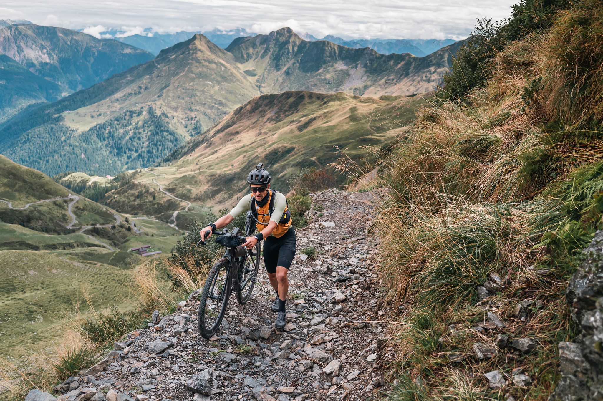
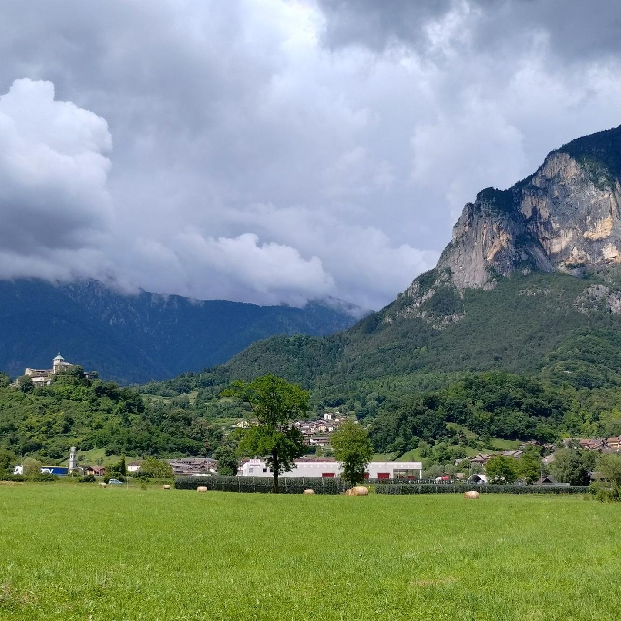
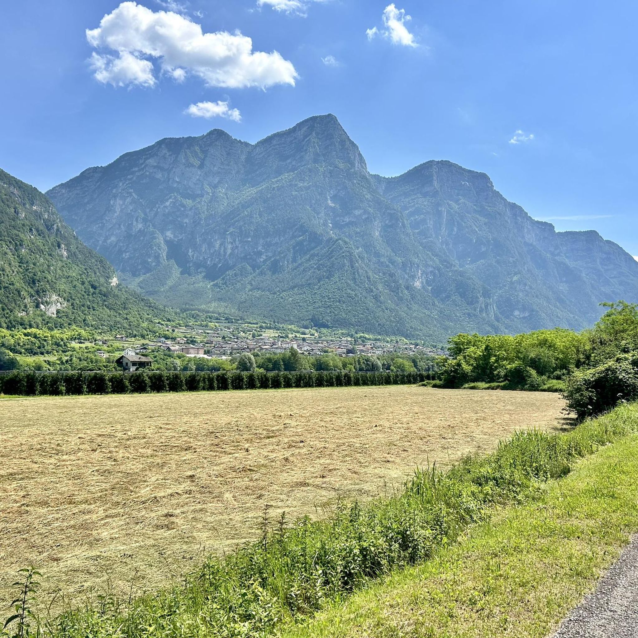
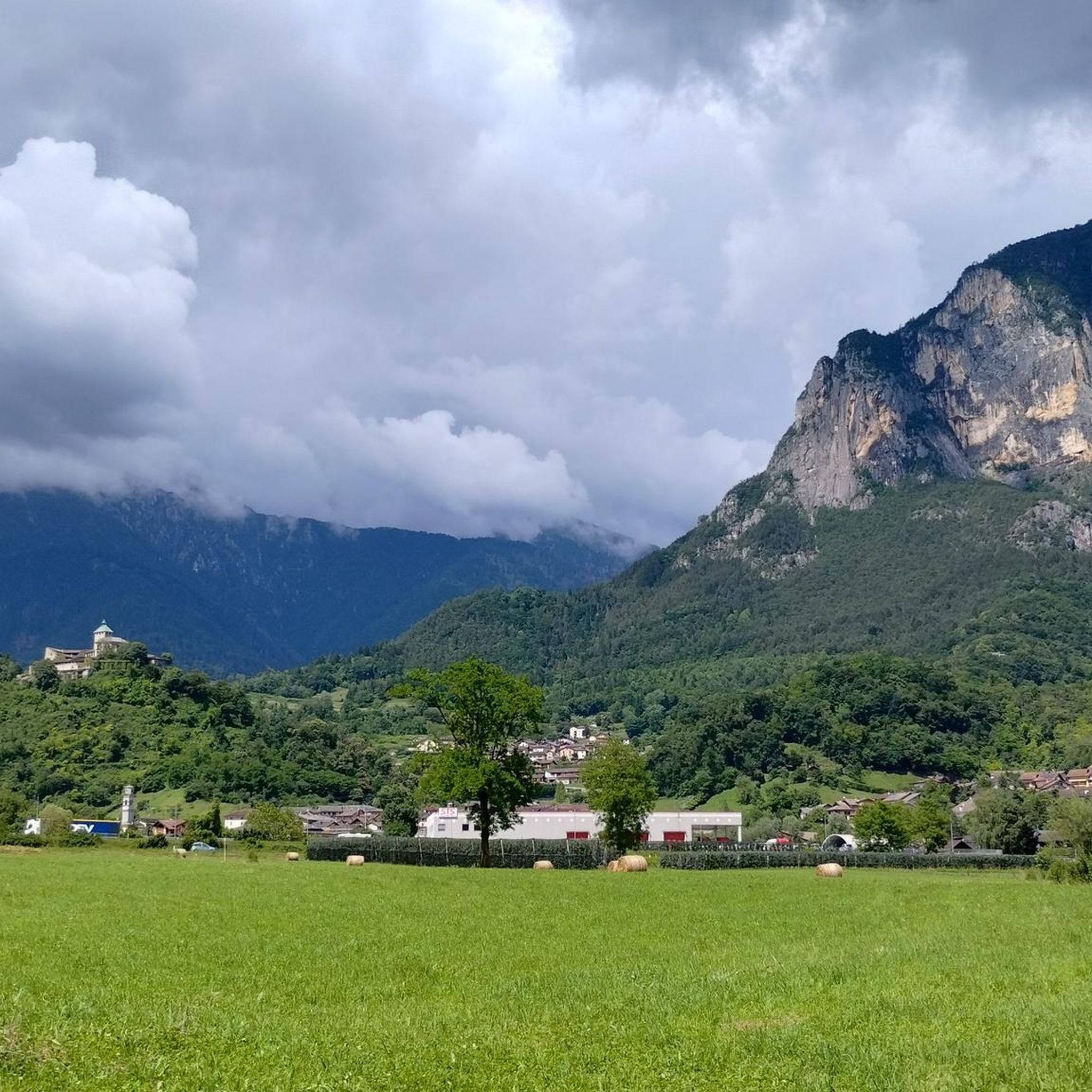
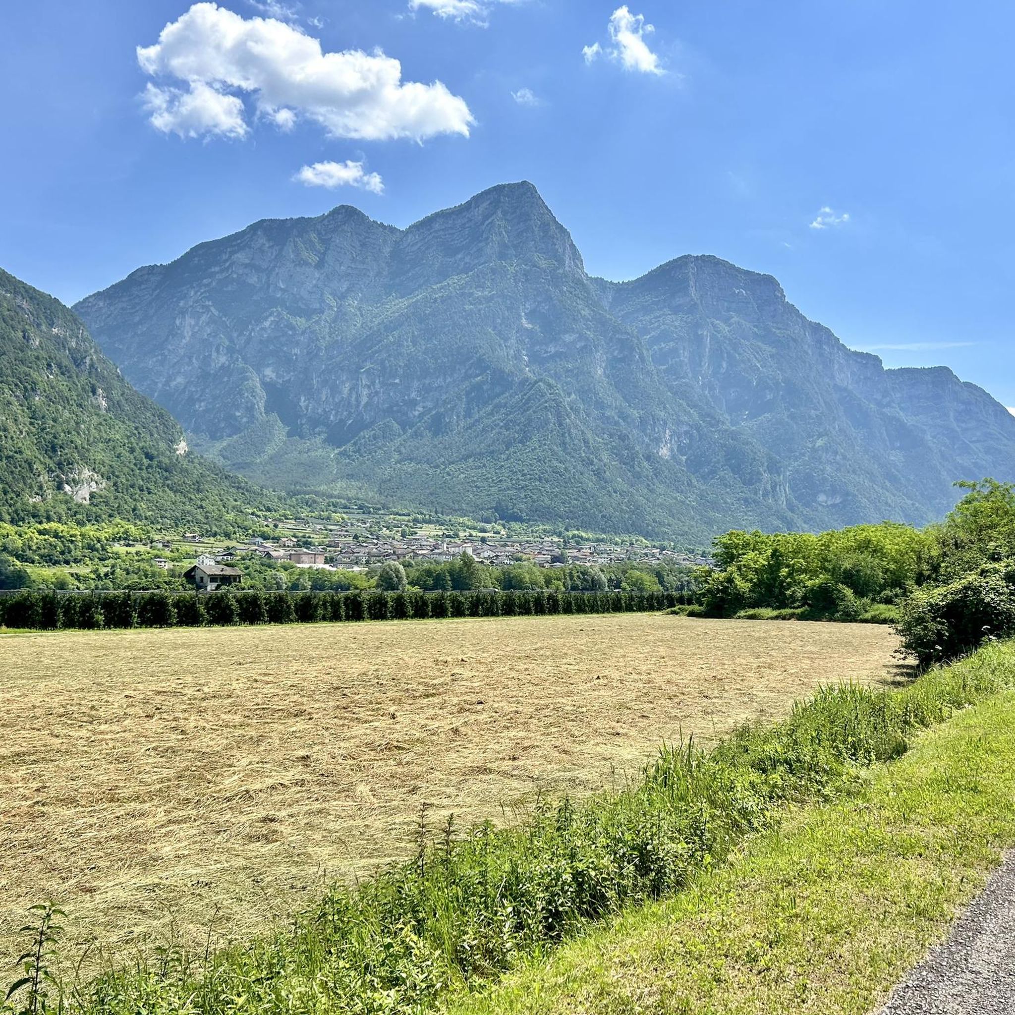
Mountaineering routes Castel Ivano traverse a diverse landscape within the eastern Valsugana valley, characterized by prominent granite massifs like the Cima d'Asta Group and Lagorai Chain. The region features verdant hills, dense forests, and open fields, offering varied terrain for ascents. Many routes follow ancient paths and former military roads, providing both natural beauty and historical context. This area is ideal for those seeking challenging mountain experiences amidst significant natural features.
Best mountaineering routes around Castel Ivano
- The most popular…
Last updated: October 8, 2026
5.0
(1)
17
hikers
13.6km
05:25
700m
700m
Hard mountaineering route. Very good fitness required. Sure-footedness, sturdy shoes and alpine experience required.
4.0
(3)
6
hikers
Hard mountaineering route. Very good fitness required. Sure-footedness, sturdy shoes and alpine experience required.

5.0
(1)
7
hikers
12.2km
05:23
740m
740m
Hard mountaineering route. Very good fitness required. Mostly accessible paths. Sure-footedness required.
7
hikers
8.79km
03:50
470m
470m
Hard mountaineering route. Good fitness required. Sure-footedness, sturdy shoes and alpine experience required.
5.0
(3)
10
hikers
11.0km
04:58
790m
790m
Moderate mountaineering route. Good fitness required. Mostly accessible paths. Sure-footedness required.
Our route recommendations are based on thousands of hikes, rides, and runs completed by other people on komoot.
Start today with a free account
Your next adventure awaits.



Tips from the Community

The important crossroads of the roads built by the Austro-Hungarian army on the front line of the Great War
0
0
A point of reflection on all the misfortunes that unfortunately happen in the mountains and while cycling, despite experience
0
0
A corner of biodiversity in a mountain environment cared for and managed by local people
0
0


Starting from Malga Galmarara, at a good pace, you can reach the summit in about 2 hours and 10 minutes. The route presents no real difficulties, except for the last, rather steep section and a descent where you need to be careful to avoid slipping on the rocks. There are two summit books where you can leave a message.
1
0
The summit is easily reachable with good training, the path is never dangerous or exposed, if you continue the tour towards Cima Larici you must pay close attention to the steep descent
0
0
Excellent stopover and refreshment point. Excellent cheeses and sausages produced by the Frigo Stoff family and the manager Giuliano, passionate about e-mtb and ski mountaineering
1
0

Magnificent fork that offers a fantastic panorama, nestled between the granite spiers of Cima d'Asta.
0
0
Frequently Asked Questions
What kind of mountaineering routes can I expect around Castel Ivano?
The mountaineering routes around Castel Ivano primarily feature challenging ascents through granite massifs like the Cima d'Asta Group and the Lagorai Chain. You'll find a mix of verdant hills, dense forests, and open fields, with many paths following ancient trails and former military roads, offering both natural beauty and historical context. Most of the 11 available routes are rated as difficult, with a few moderate options.
Are there any circular mountaineering routes in the Castel Ivano area?
Yes, several routes are designed as loops. For example, the Cima d'Asta summit – Lago di Cima d'Asta loop from Bacino di Sorgazza is a challenging 15.4 km route. Another option is the Cima Dodici Summit – Italia Junction loop from Monte Zingarella, which covers 13.6 km.
What are the typical durations for mountaineering routes near Castel Ivano?
The duration of routes varies depending on their length and difficulty. For instance, the challenging Cima d'Asta summit – Lago di Cima d'Asta loop from Bacino di Sorgazza typically takes around 8 hours. A slightly shorter, but still difficult, route like the Lago di Costa Brunella – Forcella Orsera loop from Bacino di Sorgazza can be completed in about 5 hours 54 minutes. Moderate routes, such as Cima Socede – Passo Cinque Croci loop from Val Campelle, are generally shorter, taking around 4 hours 12 minutes.
What natural landmarks or viewpoints can I expect to see on these routes?
The region offers stunning natural features and historical viewpoints. You can encounter impressive peaks like Portule Peak and Cima della Caldiera, which provide panoramic views. The unique rock formations of the Castelloni of San Marco, a 'natural castle' with historical significance, are also a notable sight.
Are there any waterfalls along the mountaineering routes or nearby?
While not directly on all mountaineering routes, the Castel Ivano area is home to several beautiful waterfalls. You can explore highlights such as Salton Waterfall, Cascatella Waterfall, and the Col Fortin Waterfalls. The Bigonde Nature Oasis with Waterfall and Pond also offers a serene natural experience.
What is the best season for mountaineering around Castel Ivano?
The best season for mountaineering in the Castel Ivano area is typically from late spring to early autumn (May to October), when trails are generally clear of snow and weather conditions are more stable. Winter ascents, particularly on peaks like Portule, are possible but require significant experience, proper gear, and awareness of snow conditions due to the 25-30 km round trip and 1,000m elevation gain.
What do other mountaineers say about the routes in Castel Ivano?
The mountaineering routes in Castel Ivano are highly rated by the komoot community, with an average score of 4.6 stars from around 17 reviews. Users often praise the challenging nature of the trails, the stunning panoramic views from peaks like Cima d'Asta, and the historical elements found along many paths.
Are there any historical sites or World War I remnants on the mountaineering routes?
Yes, the region has a strong connection to World War I. Peaks like Portule Peak and Cima della Caldiera feature numerous remnants of Great War buildings, trenches, and shelters. The Mount Ortigara Memorial is also a significant historical site in the area, and the Castelloni of San Marco were adapted by Italian soldiers as a defensive post.
Are there any moderate mountaineering routes suitable for those looking for less extreme challenges?
Yes, while most routes are difficult, there are a few moderate options. The Cima Socede – Passo Cinque Croci loop from Val Campelle is a moderate 9.1 km route that offers a less strenuous, but still rewarding, mountaineering experience.
Where can I find more information about the Castel Ivano region?
For general information about Castel Ivano and the surrounding Valsugana valley, you can visit the official tourism website: visitvalsugana.it.
Most popular routes around Castel Ivano
Most popular attractions around Castel Ivano

Get inspired with the komoot mobile app


Explore more
Browse the best Mountain Hikes & Routes in other regions.
