The best walks and hikes around Schlechtsart
4.6
(1390)
4,502
hikers
255
hikes
Hiking around Schlechtsart offers diverse experiences within the scenic Thuringian Forest. The region is characterized by rolling hills, dense woodlands, and the presence of the Saale River source. Hikers can explore a well-developed network of trails that traverse varied terrain, including former borderland areas. The landscape provides a natural backdrop for extensive exploration on foot.
Best hiking trails around Schlechtsart
- The most popular hiking route is Adventure tour: With the border crosser on the Green Belt, a 6.8 miles…
Last updated: August 20, 2026
4.7
(53)
157
hikers
11.0km
03:02
180m
180m
Moderate hike. Good fitness required. Easily-accessible paths. Suitable for all skill levels.
4.7
(3)
11
hikers
Moderate hike. Good fitness required. Easily-accessible paths. Suitable for all skill levels.

Sign up for free
4.3
(4)
8
hikers
Moderate hike. Good fitness required. Easily-accessible paths. Suitable for all skill levels.
5.0
(6)
17
hikers
Moderate hike. Good fitness required. Easily-accessible paths. Suitable for all skill levels.
5.0
(1)
9
hikers
Easy hike. Great for any fitness level. Easily-accessible paths. Suitable for all skill levels.
Get access to more routes and recommendations from other explorers.
Sign up for free
Already have an account?
Our route recommendations are based on thousands of hikes, rides, and runs completed by other people on komoot.
Start today with a free account
Your next adventure awaits.
Login or Signup
Tips from the Community

Of the 1400km of inner-German border, unfortunately only a few places like this remain! How do you want to teach children history when you destroy everything! Much more of it should have been preserved, in the common capital, investment was rather made in buildings. As a child, I remember this threatening border and I just find it sad what's left of it. This way, it's hard for me to convey history to my little pirate daughter. You have to touch, see, and understand things on site. If there's a flashy building there today, what do I want to tell my pirate daughter with that?
0
0
Of the 1400km of the inner-German border, unfortunately only a few places like this remain! How do you want to teach children history if you destroy everything! Much more of it should have been left standing, but in the united capital, investment was rather made in buildings. I remember this threatening border as a child and I find it simply sad what is left of it. This way, it's hard to convey history to my little adventurous daughter. You have to touch, see and understand on site. If a pompous building stands there today, what do I want to tell my adventurous daughter with that?
1
0

Historic paths with reminders of the division of Germany
0
0
There are beautiful hiking trails here that also commemorate the former border.
0
0
An interesting relic from bygone times
0
0

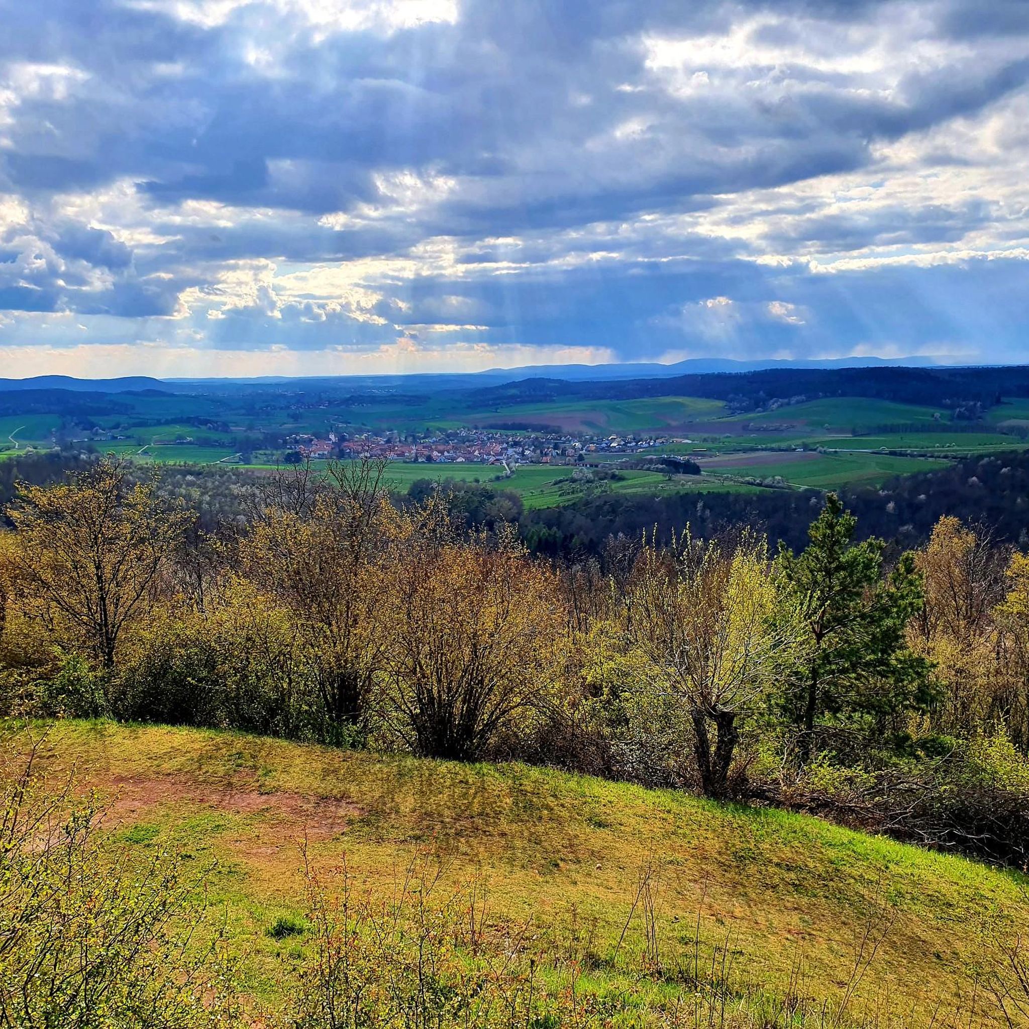
Very beautiful view and easy to reach by mountain bike. The panoramic photo explains all the peaks in detail. Very well done.
11
0
Brilliant view of the grave field
0
0
On the state border near Trappstadt, the Altenburg Castle there and a landwehr fort on the Thuringian side with the Wartberg near Gompertshausen bear witness to the centuries-long border between the two towns. Unfortunately, only remnants of the landwehr remain here, as the former zone border was recklessly established. The plaque does not provide information about the Spanshügel itself, but rather about the former landwehr fort that runs along the Spanshügel. The pictures are clearly legible.
8
0
Frequently Asked Questions
How many hiking trails are available around Schlechtsart?
Schlechtsart offers a comprehensive network of over 270 hiking routes, catering to various preferences and skill levels. This includes a mix of easy, moderate, and a few more challenging trails.
What kind of terrain can I expect on hikes in Schlechtsart?
The hiking trails around Schlechtsart are primarily characterized by rolling hills and dense woodlands, typical of the scenic Thuringian Forest. You'll encounter varied terrain, including paths through former borderland areas, offering a diverse natural experience.
Are there any easy hiking trails suitable for beginners or families in Schlechtsart?
Yes, Schlechtsart has over 115 easy hiking routes. One excellent option is the Leitenhausen Memorial Site – View from Spanshügel loop from Schlechtsart, which is 4.1 miles (6.6 km) long and leads through woodlands and past historical sites, typically completed in under two hours.
What are some notable natural features or viewpoints to discover while hiking?
Hikers can explore several significant natural features. The Source of the Franconian Saale is integrated into various walking routes. Additionally, the Grenzgänger Trail Border Point – View from Spanshügel loop from Trappstadt leads to the Spanshügel, which offers fantastic panoramic vistas within a beautiful nature reserve.
Are there any historical trails or landmarks to explore?
Absolutely. The region is rich in history. The Adventure tour: With the border crosser on the Green Belt follows the historic Green Belt, offering insights into the region's past. The Grenzgängerweg, a unique trail, also follows the path of the former border patrol, showcasing remnants of old border installations and informative panels.
What is the best time of year to go hiking in Schlechtsart?
Schlechtsart, nestled within the Thuringian Forest, is generally beautiful for hiking from spring through autumn. The rolling hills and woodlands offer vibrant colors in spring and fall, and pleasant temperatures in summer. Winter hiking is also possible, but conditions can vary, so checking local weather is advisable.
Are there any circular hiking routes available?
Yes, many routes in Schlechtsart are designed as loops. For instance, the View from Spanshügel – Leitenhausen Memorial Site loop from Schlechtsart is a moderate 9 km circular trail that takes you through scenic landscapes.
What do other hikers enjoy most about hiking in Schlechtsart?
The area is highly rated by the komoot community, with an average score of 4.7 stars from over 1,500 reviews. Reviewers often praise the diverse natural experiences, the well-developed trail network, and the picturesque landscapes of the Thuringian Forest.
Are there any lakes or castles near the hiking trails?
Yes, there are several interesting attractions nearby. You can find lakes such as Reuthsee, Cow Lake, and Irmelshausen Lake. For historical sites, consider visiting Heldburg Fortress or the Straufhain Castle Ruins.
Are the hiking trails in Schlechtsart suitable for dogs?
Generally, the natural trails and woodlands around Schlechtsart are very dog-friendly. Most routes are unpaved and offer plenty of space for dogs to enjoy. However, always keep your dog on a leash, especially in nature reserves or near livestock, and be mindful of local regulations.
What is the typical duration for hikes in Schlechtsart?
Hikes in Schlechtsart vary in length and duration. Many popular routes, like the Adventure tour: With the border crosser on the Green Belt, take around 3 hours to complete. Shorter, easy trails can be finished in under 2 hours, while longer, more challenging routes may require half a day or more.
Is there public transport access to the hiking areas in Schlechtsart?
While Schlechtsart is well-connected by road, public transport options directly to all trailheads might be limited. It's advisable to check local bus schedules or consider driving to access the starting points of various hikes, especially for those venturing deeper into the Thuringian Forest.
Most popular attractions around Schlechtsart

Get inspired with the komoot mobile app


Explore more
Browse the best Hikes in other regions.
