The best walks and hikes around Castellafiume
4.5
(601)
2,836
hikers
141
hikes
Hiking around Castellafiume offers varied terrain at the foot of Mount Arunzo, traversed by the Liri River. The region is situated within the Nerfa Valley and borders the Simbruini Mountains Regional Natural Park. Dense beech forests cover many areas, providing shaded trails and contributing to the natural environment. This landscape provides diverse opportunities for outdoor activities.
Best hiking trails around Castellafiume
- The most popular hiking route is Camporotondo - Monte Camiciola Trail, a 2.3 miles (3.8 km) trail that…
Last updated: October 8, 2026
3.5
(2)
2
hikers
3.76km
01:28
270m
270m
Easy hike. Great for any fitness level. Easily-accessible paths. Suitable for all skill levels.
4.4
(7)
20
hikers
4.97km
01:46
280m
280m
Easy hike. Great for any fitness level. Easily-accessible paths. Suitable for all skill levels.

4.5
(4)
24
hikers
18.5km
05:43
650m
650m
Hard hike. Very good fitness required. Easily-accessible paths. Suitable for all skill levels.
4.2
(11)
20
hikers
11.5km
03:35
430m
430m
Moderate hike. Good fitness required. Easily-accessible paths. Suitable for all skill levels.
4.0
(9)
17
hikers
6.73km
02:01
200m
200m
Moderate hike. Good fitness required. Easily-accessible paths. Suitable for all skill levels.
Get access to more routes and recommendations from other explorers.
Already have an account?
Our route recommendations are based on thousands of hikes, rides, and runs completed by other people on komoot.
Start today with a free account
Your next adventure awaits.
Tips from the Community

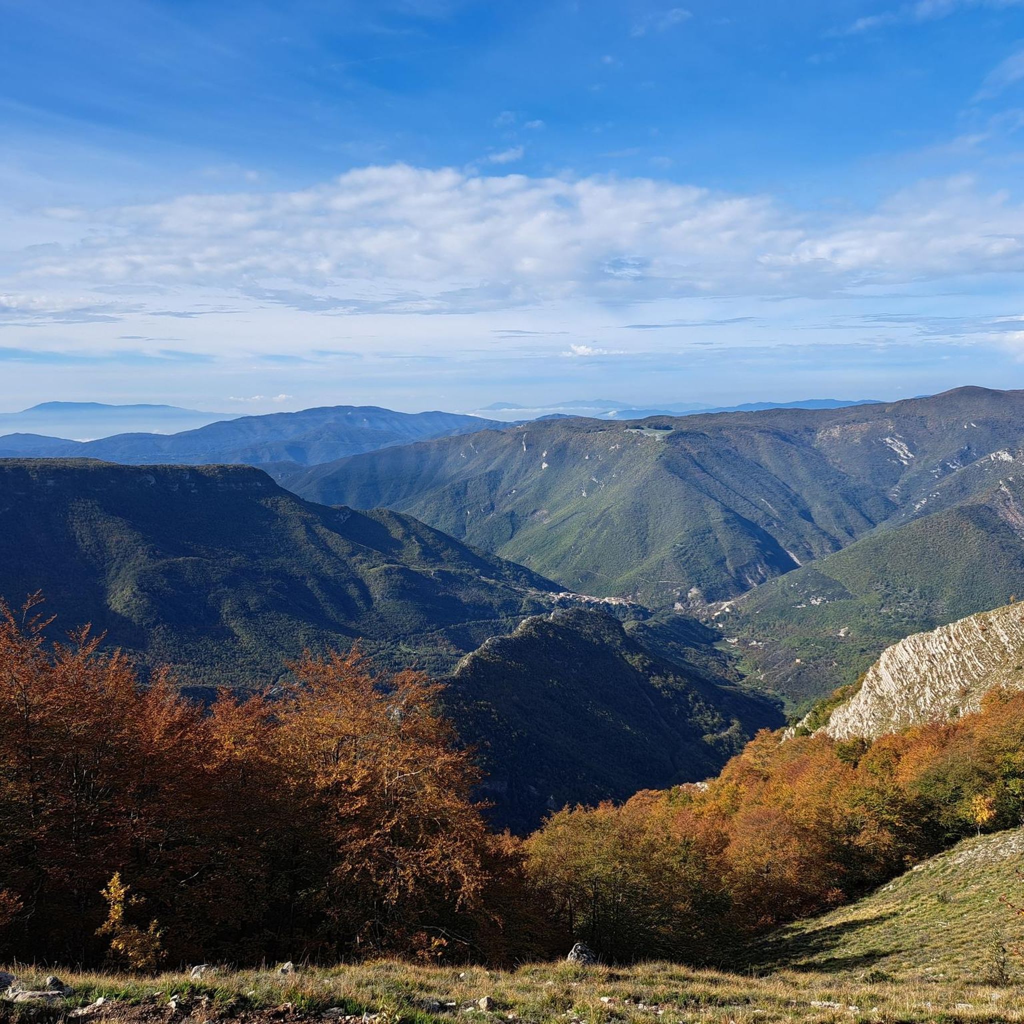
Reaching the parking lot of the Sanctuary of the Holy Trinity requires a challenging climb. The view from up here, however, makes all the effort worthwhile.
0
0

suggestive sanctuary nestled under a rock face, reachable by bike👍
0
0

In January we went down to the sanctuary, everything was closed and there was no one there. Very suggestive and spectacular place.
0
0

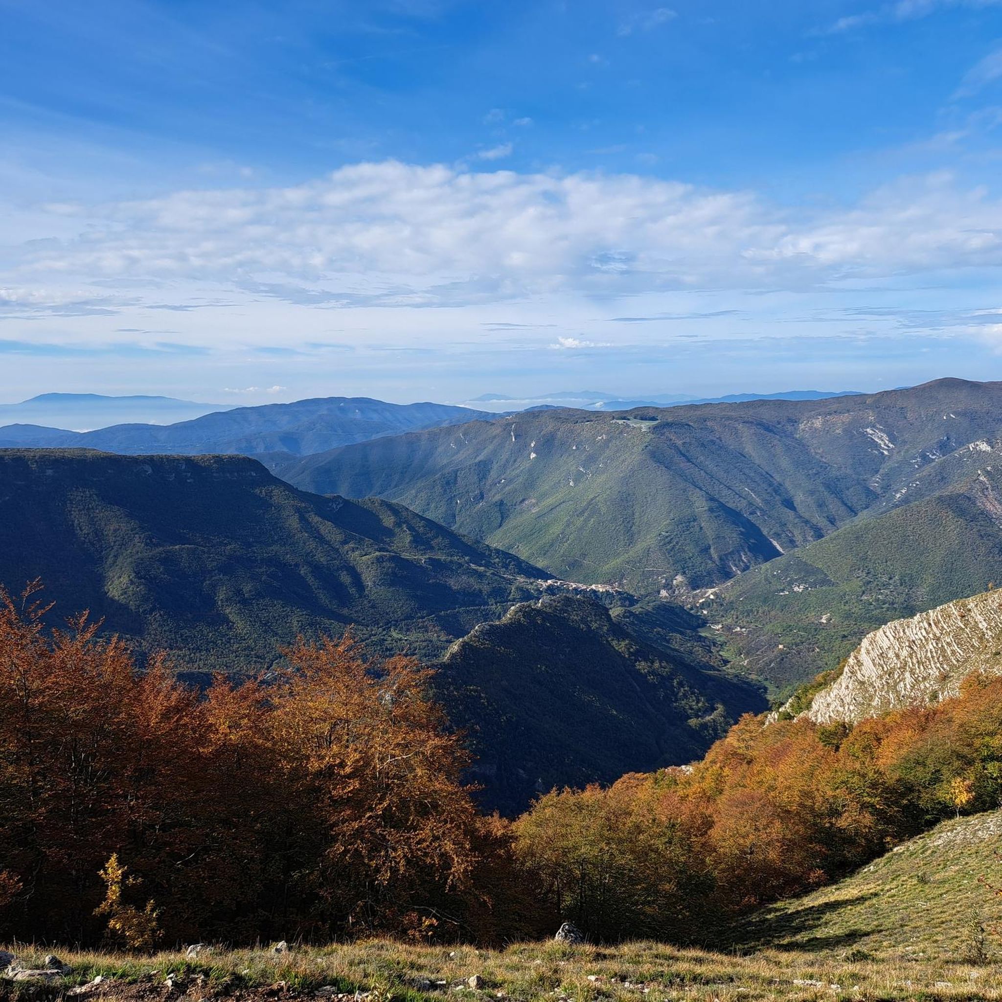
Going up towards Camporotondo, if you look towards the west you can admire a splendid panorama of the Dogana valley. The valley extends up to Marsyas and is dominated by Mount Padiglione (1,627 m above sea level) to the east. You can enter the valley along a comfortable dirt path that starts right from Camporotondo.
3
0

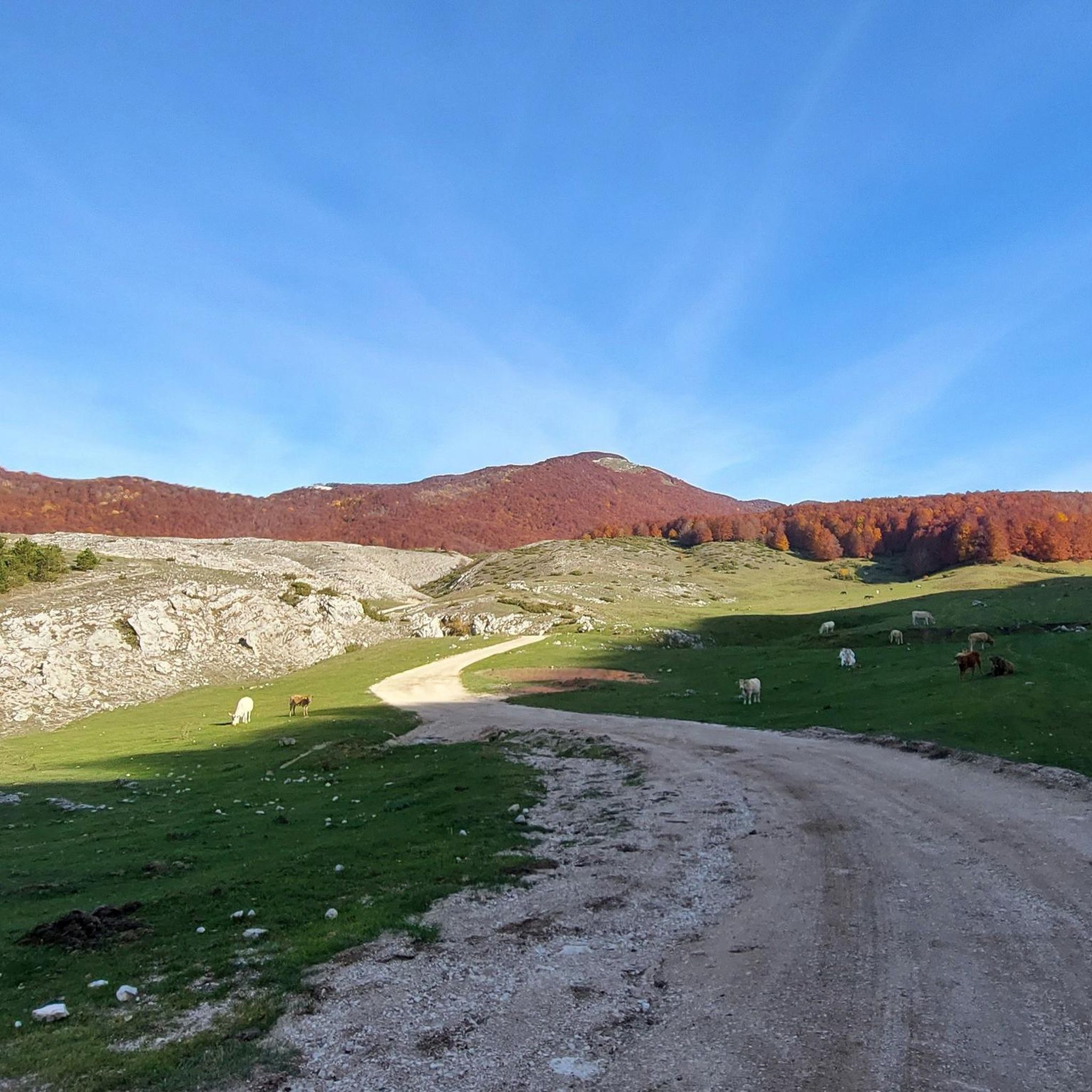
Camporotondo is a small village in the heart of the Simbruini in the province of L'Aquila. The climb to get there is challenging, but the beauty of the surrounding nature repays every effort.
1
0
Located at almost 1400 meters above sea level, the Sanctuary of the Holy Trinity dominates the surrounding valleys and is located in front of Monte Autore which reaches 1800 m above sea level
1
0
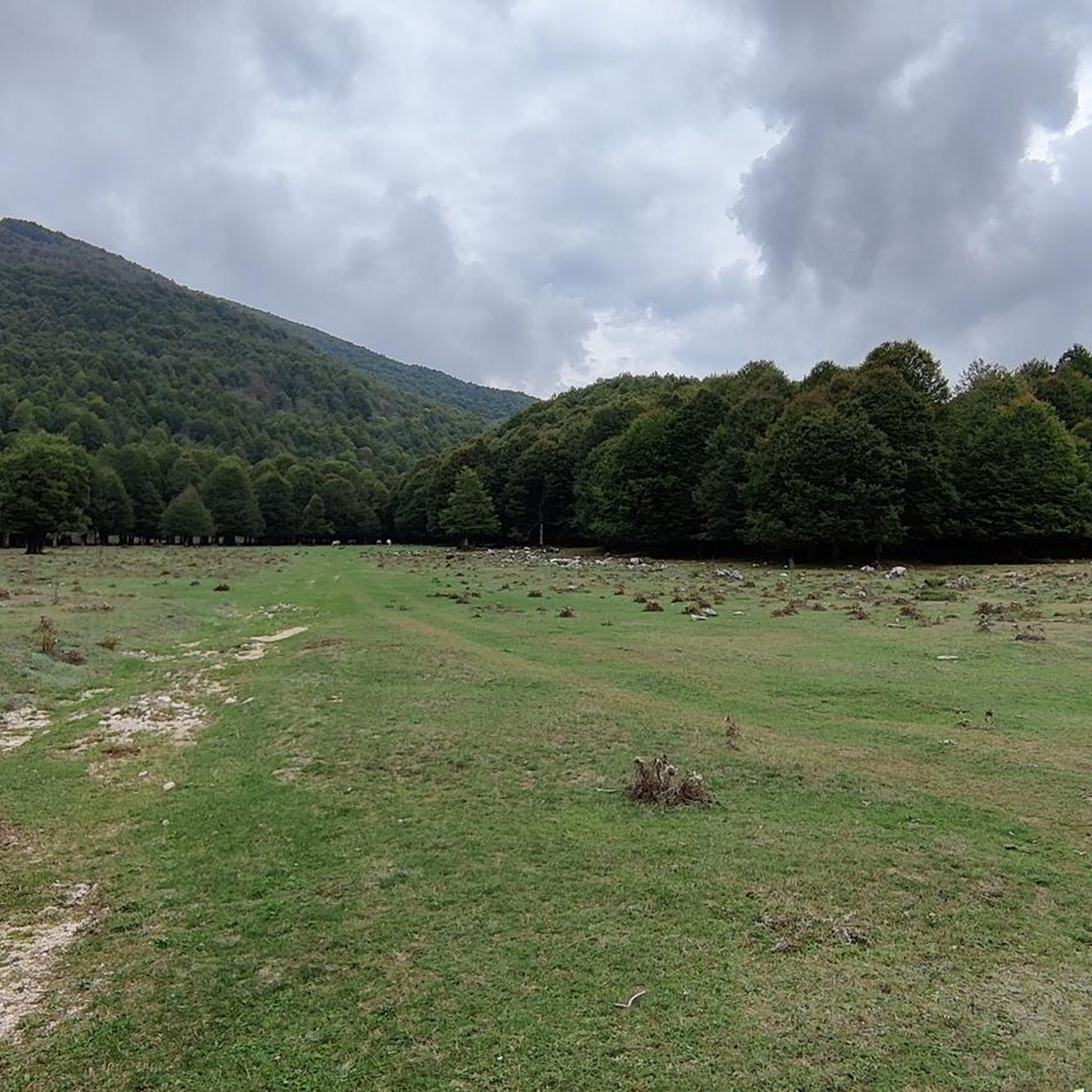
Camporotondo is a village in the heart of the Simbruini Mountains Natural Park surrounded by vegetation.
1
1

taken from Wikipedia: A frequent destination for devotees, pilgrims, the curious and hikers, coming mainly from Lazio, Abruzzo and Campania, it can be easily reached by going up from Vallepietra for about 14 km of paved road, or from the neighboring Abruzzo area of Cappadocia-Camporotondo crossing the dirt road surrounded by beech woods centuries-old trees on the karst plateau of Campo della Pietra, a place also known for being the location of the film set They called me Trinity.. From the paid car park it can be reached with an easy 1 km downhill path. surrounded by dozens of stalls.
0
0
Frequently Asked Questions
How many hiking trails are available around Castellafiume?
Castellafiume offers a wide selection of hiking opportunities, with over 140 trails recorded on komoot. These routes cater to various skill levels, ranging from easy strolls to more challenging treks through the diverse landscape.
What is the best time of year to go hiking in Castellafiume?
The region's dense beech forests provide shaded trails, making hiking enjoyable during warmer months. For panoramic views and exploring the Nerfa Valley, spring and autumn offer pleasant temperatures and vibrant scenery. Winter hiking is possible, but conditions can vary, especially at higher elevations in the Simbruini Mountains Regional Natural Park.
What do other hikers enjoy most about the trails in Castellafiume?
The hiking routes in Castellafiume are highly rated by the komoot community, with an average score of 4.5 stars from over 500 reviews. Hikers frequently praise the varied terrain, the immersive experience of the dense beech forests, and the rewarding panoramic views, particularly from spots like Monte Camiciola.
Are there easy hiking trails suitable for beginners in Castellafiume?
Yes, Castellafiume has a good selection of easy trails. For instance, the Camporotondo - Monte Camiciola Trail is an easy 3.8 km path offering scenic views. Another popular easy option is the Monte Camiciola Viewpoint loop from Campo Rotondo, which provides panoramic vistas.
Are there challenging hikes for experienced trekkers?
Yes, for more experienced hikers, there are 41 difficult routes available. Trails that ascend Mount Arunzo or delve deeper into the Simbruini Mountains Regional Natural Park often present greater challenges with significant elevation gains, such as the Rifugio Danilo Gargano – Monte Arunzo loop from Villa San Sebastiano.
Can I find circular hiking routes in Castellafiume?
Many of the trails in Castellafiume are designed as loops, allowing you to start and end at the same point. Examples include the Monte Camiciola Viewpoint loop from Campo Rotondo and the Camporotondo Village – Hollow Tree loop from Campo Rotondo, which takes you through dense beech forests.
What natural attractions can I explore while hiking in Castellafiume?
Hiking in Castellafiume allows you to explore the picturesque Nerfa Valley, traverse dense beech forests, and follow the Liri River. You can also discover natural features like the San Lorenzo Grotto or visit summits offering expansive views, such as Monte Autore Summit or Monna dell'Orso.
Are there any historical or cultural points of interest accessible by foot?
Yes, hikers can explore charming destinations like the small village of Pagliara, known for its narrow white alleys and accessible only by foot. The remains of the Orsini-Colonna Castle also offer a historical point of interest, often situated in scenic, elevated locations perfect for a hiking destination.
Are the hiking trails in Castellafiume family-friendly?
Many trails in Castellafiume are suitable for families, especially the easier routes that offer gentle gradients and shorter distances. The region's natural beauty, including the Liri River and beech forests, provides an engaging environment for children to explore.
Can I bring my dog on the hiking trails in Castellafiume?
Generally, dogs are welcome on many hiking trails in the Castellafiume area. However, it's always advisable to keep them on a leash, especially in areas with wildlife or near livestock, and to check specific regulations for the Simbruini Mountains Regional Natural Park if you plan to hike there.
What are the parking options for trailheads in Castellafiume?
Parking is typically available near popular trailheads, especially in areas like Campo Rotondo, which serves as a common starting point for several routes. Specific parking information can often be found on individual route descriptions on komoot.
Are there any permits required for hiking in the Simbruini Mountains Regional Natural Park?
While general hiking in the Simbruini Mountains Regional Natural Park typically does not require specific permits for day hikes, it's always recommended to check the official park website for any updated regulations, especially for specific activities or protected zones.
Where can hikers find refreshments or accommodation near the trails?
The village of Castellafiume itself offers options for cafes, pubs, and restaurants where hikers can find refreshments. For accommodation, there are various options within the village and surrounding areas, providing convenient bases for exploring the trails.
Most popular attractions around Castellafiume

Get inspired with the komoot mobile app


Explore more
Browse the best Hikes in other regions.
