The best walks and hikes around Coreno Ausonio
4.3
(69)
266
hikers
32
hikes
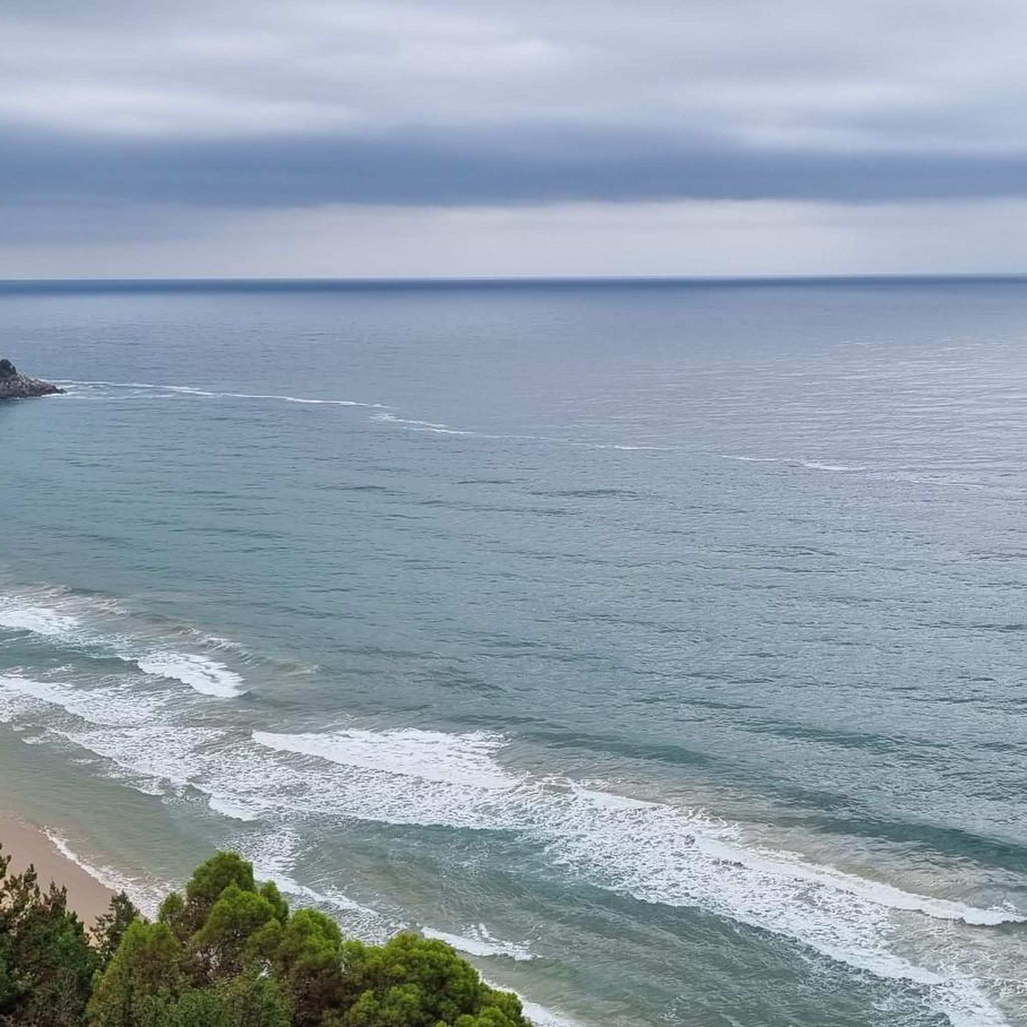
Hiking around Coreno Ausonio offers diverse landscapes within the Aurunci Mountains, providing a network of trails for various skill levels. The region features a harmonious environment with prominent peaks like Mount Maio and historical paths along the Gustav Line. From its elevated position, hikers can experience panoramic views of the Gulf of Gaeta and the Ponziane Islands. The terrain includes pastures, rugged slopes, and dense Mediterranean vegetation.
Best hiking trails around Coreno Ausonio
- The most popular hiking route is Selvacava-Monte…
Last updated: June 24, 2026
5.0
(1)
11
hikers
8.01km
03:10
620m
620m
Moderate hike. Good fitness required. Mostly accessible paths. Sure-footedness required.
1
hikers
13.1km
04:21
630m
630m
Moderate hike. Good fitness required. Easily-accessible paths. Suitable for all skill levels.

Sign up for free
6
hikers
Moderate hike. Good fitness required. Easily-accessible paths. Suitable for all skill levels.
3.0
(1)
8
hikers
6.69km
02:15
290m
290m
Hard hike. Good fitness required. Sure-footedness, sturdy shoes and alpine experience required.
5.0
(2)
5
hikers
11.3km
05:06
1,100m
1,100m
Hard hike. Very good fitness required. Easily-accessible paths. Suitable for all skill levels.
Get access to more routes and recommendations from other explorers.
Sign up for free
Already have an account?
Our route recommendations are based on thousands of hikes, rides, and runs completed by other people on komoot.
Start today with a free account
Your next adventure awaits.
Login or Signup

Tips from the Community

Overlooking point on the Garigliano river. It can be reached via a stretch of dirt road
1
0

Nice spot at the end of the road for having a bath in the river and camping for one night
2
0

It can be reached from the Spigno Saturnia side by following the CAI path towards Sella Stampaduro, very demanding due to the difference in height and the type of bumpy path. It can also be reached from the Formia slope by reaching Fontana Canale and continuing on the Cai path for about 1 hour
0
0
The highest mountain and closest to the sea in Europe on the Cammino degli Aurunci
0
0

From here it is possible to enjoy a beautiful view of the eastern Aurunci, the Ausente Valley to the sea.
1
0
Most of the trail is part of an old mule track. This was built with reinforcements downstream of boulders and drywall. The start of the mule track is at Passo Bastia.
1
0
Here you can enjoy the view of Vallemaio.
1
0
Monte Maio is a peak of the Aurunci mountains and is located at a height of 940.2 m.
1
0
Frequently Asked Questions
How many hiking trails are there in Coreno Ausonio?
There are over 25 hiking trails around Coreno Ausonio, offering a wide range of options for different skill levels. You'll find 6 easy routes, 14 moderate, and 7 difficult trails to explore.
What kind of terrain can I expect on hikes around Coreno Ausonio?
The terrain around Coreno Ausonio is diverse, ranging from pastures dominated by xerophytic grasses to more rugged slopes with bushy plants like Ampelodesma tenax. You'll also encounter historical paths, particularly those along the Gustav Line, and trails winding through the Aurunci Mountains.
Are there any family-friendly hiking options in Coreno Ausonio?
Yes, Coreno Ausonio offers several easy routes suitable for families. These trails generally have less elevation gain and shorter distances, providing a pleasant outdoor experience for all ages. Look for routes marked as 'easy' in the guide.
Can I hike with my dog in Coreno Ausonio?
Many trails in the Coreno Ausonio area are suitable for dogs, but it's always recommended to keep them on a leash, especially in areas with livestock or protected wildlife. Be sure to check local regulations for specific trails or natural parks.
What are the typical elevation gains on trails in Coreno Ausonio?
Elevation gains vary significantly. Easy routes might have minimal ascent, while moderate trails like the Selvacava-Monte Fammera Trail feature around 616 meters (2,021 ft) of ascent. More challenging routes can involve substantial climbs, reflecting the mountainous terrain of the Aurunci range.
Are there circular hiking routes available in Coreno Ausonio?
Yes, there are several circular routes. A popular option is From Coreno Ausonio to Monte Maio - ring tour, which takes you through varied terrain including sections of Mount Maio. Another is the Suio and the Garigliano Dam – loop tour, exploring the Garigliano River valley.
What historical landmarks can I see while hiking in Coreno Ausonio?
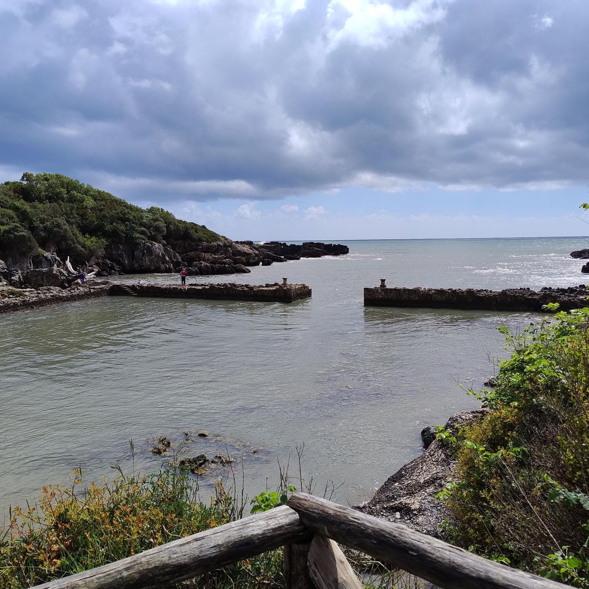
Coreno Ausonio played a significant role during World War II, and you can hike along 48 km of trails that trace the German defensive 'Gustav Line' across mountains like Faito, Ceschito, Feuci, and Monte Maio. While not directly in Coreno Ausonio, the Roman Port of Gianola is a nearby historical site worth exploring.
What kind of views can I expect on hikes around Coreno Ausonio?
From many trails, especially those at higher elevations, you can enjoy splendid panoramic views. These often include the Gulf of Gaeta and the Ponziane Islands, offering a picturesque blend of sea and mountains. For specific viewpoints, consider highlights like Great view of Scauri, Formia, Gaeta and the mountains.
What do other hikers enjoy most about hiking in Coreno Ausonio?
The area is highly rated by the komoot community, with an average score of 4.2 stars from over 50 reviews. Hikers often praise the diverse landscapes, the historical significance of the Gustav Line trails, and the breathtaking panoramic views of the Gulf of Gaeta and the Ponziane Islands.
Are there any challenging peaks to climb near Coreno Ausonio?
Yes, for those seeking a challenge, Cima del Redentore (Monte Altino) is a rewarding destination. It offers a challenging ascent with technically demanding ramps leading to a monument at the summit.
Where can I find easy hiking trails in the Coreno Ausonio area?
For an easier experience, consider routes with minimal elevation changes. An example is the Scauri Tower loop from Minturno-Scauri, which is rated as easy and offers a gentle walk. You can filter routes by 'easy' difficulty in the guide to find more options.
Are there any natural features to look out for on the trails?
The Aurunci Mountains themselves are a significant natural feature, offering a 'harmonious and a little wild' environment. You'll also find diverse flora, including pastures with xerophytic grasses and rugged slopes with Ampelodesma tenax. Mount Maio is a prominent peak with interesting nature walks.
Most popular attractions around Coreno Ausonio

Get inspired with the komoot mobile app


Explore more
Browse the best Hikes in other regions.
