The best running trails around San Vincenzo Valle Roveto
4.0
(5)
224
runners
18
runs
Jogging around San Vincenzo Valle Roveto offers routes through mountainous terrain with significant elevation changes. The region is characterized by its rugged landscapes, including prominent peaks like Serra Comune and Monte Passeggio, and features such as the Zompo Lo Schioppo Waterfall. Running trails often traverse dense woodlands and provide views of the surrounding valleys. The area primarily presents challenging routes suitable for experienced runners.
Best jogging routes around San Vincenzo Valle Roveto
- The most popular jogging route is Serra Comune – Monte Passeggio loop from Prato di Campoli, a 10.8 miles (17.4 km) trail that takes 3 hours 37 minutes to complete. This difficult route features substantial climbs through mountainous terrain.
- Another top favourite among local runners is Serra Comune loop from Prato di Campoli, a difficult 5.6 miles (9.1 km) path. This running route offers a challenging loop with considerable elevation gain.
- Local runners also love the Zompo Lo Schioppo Waterfall loop from Zompo lo Schioppo, a 6.2 miles (10.0 km) trail leading through scenic areas around the waterfall, often completed in about 1 hour 42 minutes.
- Jogging around San Vincenzo Valle Roveto is defined by mountainous terrain, dense forests, and notable features like the Zompo Lo Schioppo Waterfall. The network primarily offers difficult routes for experienced runners.
- The routes in San Vincenzo Valle Roveto are highly rated by the komoot community with an average score of 4.0 stars from more than 3 reviews. More than 170 runners have used komoot to explore San Vincenzo Valle Roveto's varied terrain.
Last updated: July 15, 2026
41
runners
16.3km
03:13
1,260m
1,260m
Hard run. Very good fitness required. Sure-footedness, sturdy shoes and alpine experience required.
28
runners
9.07km
01:41
690m
690m
Hard run. Very good fitness required. Mostly paved surfaces. Suitable for all skill levels.

Sign up for free
4.0
(1)
14
runners
10.0km
01:43
650m
660m
Hard run. Very good fitness required. Sure-footedness, sturdy shoes and alpine experience required.
12
runners
12.0km
02:25
960m
960m
Hard run. Very good fitness required. Sure-footedness, sturdy shoes and alpine experience required.
8
runners
12.7km
01:33
430m
420m
Hard run. Very good fitness required. Mostly paved surfaces. Suitable for all skill levels.
Get access to more routes and recommendations from other explorers.
Sign up for free
Already have an account?
Our route recommendations are based on thousands of hikes, rides, and runs completed by other people on komoot.
Start today with a free account
Your next adventure awaits.
Login or Signup
Tips from the Community

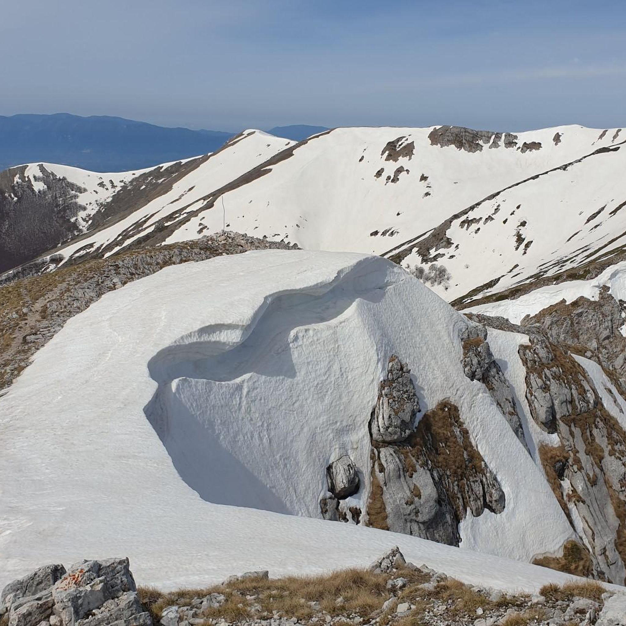
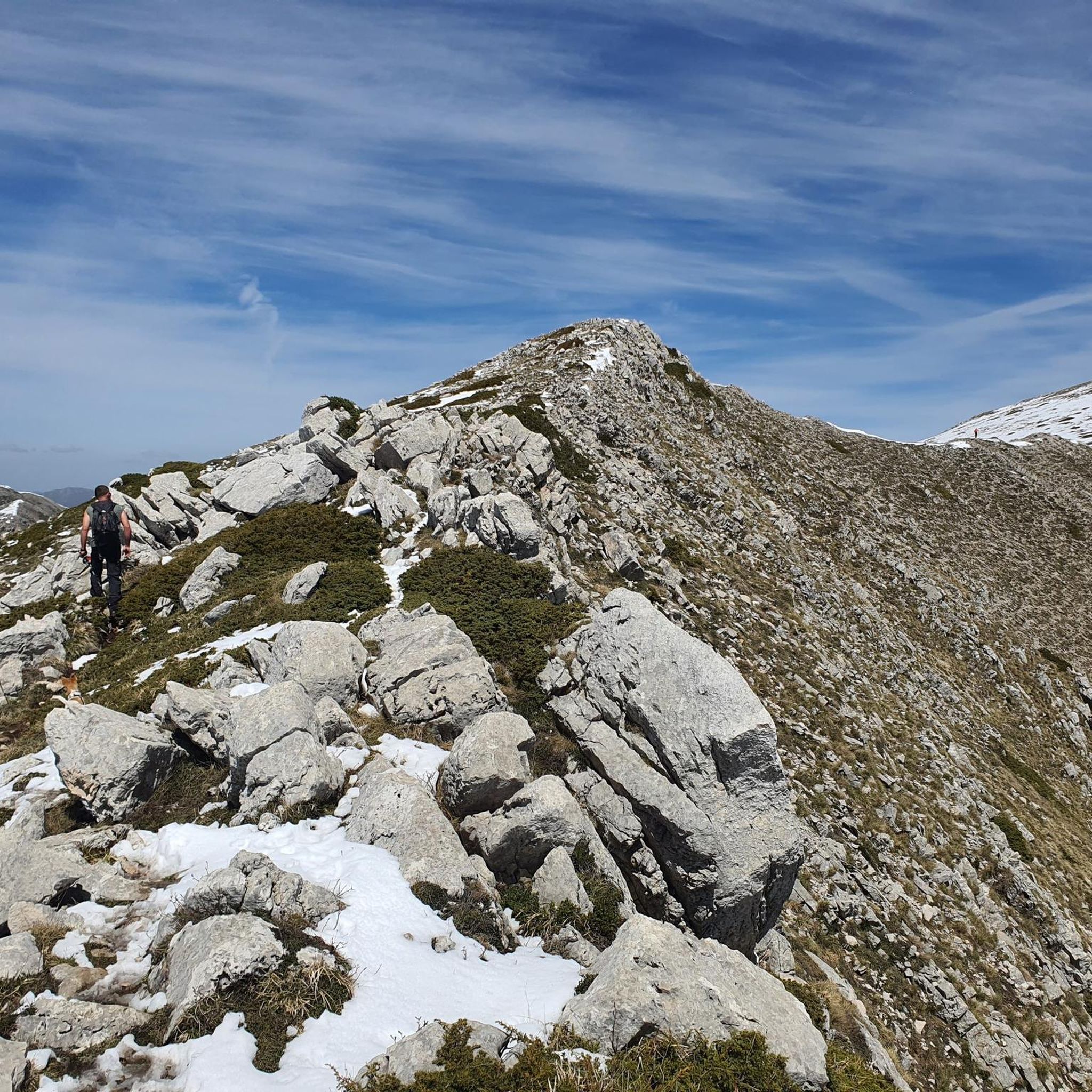
At an altitude of 1860 m asl is the Sant'Elia pass. Once you reach the top, the effort is over, you can enjoy the view and then head downhill.
1
0


Follow road signs for the waterfalls - lot of blessed fresh water during summertime
3
0
Frequently Asked Questions
How many running trails are available in San Vincenzo Valle Roveto?
There are over 10 dedicated running routes around San Vincenzo Valle Roveto, offering a variety of experiences for outdoor enthusiasts.
Are there any easy or beginner-friendly jogging routes in this area?
The running trails in San Vincenzo Valle Roveto are predominantly challenging, featuring significant elevation changes and mountainous terrain. Most routes are rated as difficult, making them more suitable for experienced runners rather than beginners or those seeking an easy jog.
What kind of terrain can I expect on the running trails around San Vincenzo Valle Roveto?
You can expect mountainous terrain with substantial climbs and descents, often traversing dense woodlands. The region is characterized by rugged landscapes, including prominent peaks like Serra Comune and Monte Passeggio.
Are there long-distance running options for experienced athletes?
Yes, for experienced runners looking for a challenge, there are several long-distance options. For example, the Montagna Spaccata Chapel loop from Meta is nearly 20 km long, and the Serra Comune – Monte Passeggio loop from Prato di Campoli covers 17.4 km with considerable elevation gain.
Can I find circular running routes in San Vincenzo Valle Roveto?
Yes, many of the running routes in the area are circular. Popular options include the Serra Comune loop from Prato di Campoli and the scenic Zompo Lo Schioppo Waterfall loop from Zompo lo Schioppo.
What natural attractions can I see while jogging in San Vincenzo Valle Roveto?
The region boasts several natural attractions. You can encounter stunning waterfalls like the Small Waterfall and Cascata della Valle dei Santi. The trails also offer views of impressive peaks such as Mount Passeggio and Monte Viglio summit.
Are there any notable viewpoints or scenic spots along the running paths?
Given the mountainous nature of San Vincenzo Valle Roveto, many running paths offer panoramic views. Routes that ascend peaks like Serra Comune and Monte Passeggio, such as the Monte Passeggio – Vado della Cornacchia loop from Prato di Campoli, provide excellent opportunities for scenic vistas over the surrounding valleys.
Is San Vincenzo Valle Roveto suitable for family jogging outings?
Due to the predominantly difficult rating and significant elevation changes of most routes, San Vincenzo Valle Roveto is generally not ideal for casual family jogging outings, especially with young children. The trails are better suited for adults and older, experienced runners.
Are the running trails in San Vincenzo Valle Roveto dog-friendly?
While specific regulations can vary, many natural trails in Italy are generally dog-friendly, especially if dogs are kept on a leash. However, given the challenging terrain and potential for wildlife encounters in this mountainous region, it's advisable to ensure your dog is fit for such conditions and to carry enough water for both of you.
What do other runners enjoy most about jogging in San Vincenzo Valle Roveto?
The komoot community highly rates the running experiences in San Vincenzo Valle Roveto, with an average score of 4.0 stars. Runners often praise the challenging mountainous terrain, the dense forests, and the natural beauty, particularly around features like the Zompo Lo Schioppo Waterfall.
What is the best season for running in San Vincenzo Valle Roveto?
The best seasons for running are typically spring and autumn when temperatures are milder and the natural scenery is vibrant. Summer can be hot, especially on exposed sections, while winter can bring snow and ice to higher elevations, making many trails impassable or requiring specialized gear.
Are there any running routes that pass by water features other than the main waterfall?
Yes, besides the prominent Zompo Lo Schioppo Waterfall, some routes may lead you past smaller water features. For instance, the region includes highlights like the Pozzotello Spring, which could be near or along certain trails, offering refreshing stops.
Most popular attractions around San Vincenzo Valle Roveto

Get inspired with the komoot mobile app


Explore more
Browse the best Running Trails & Routes in other regions.
