The best walks and hikes around Piandimeleto
4.5
(968)
3,710
hikers
196
hikes
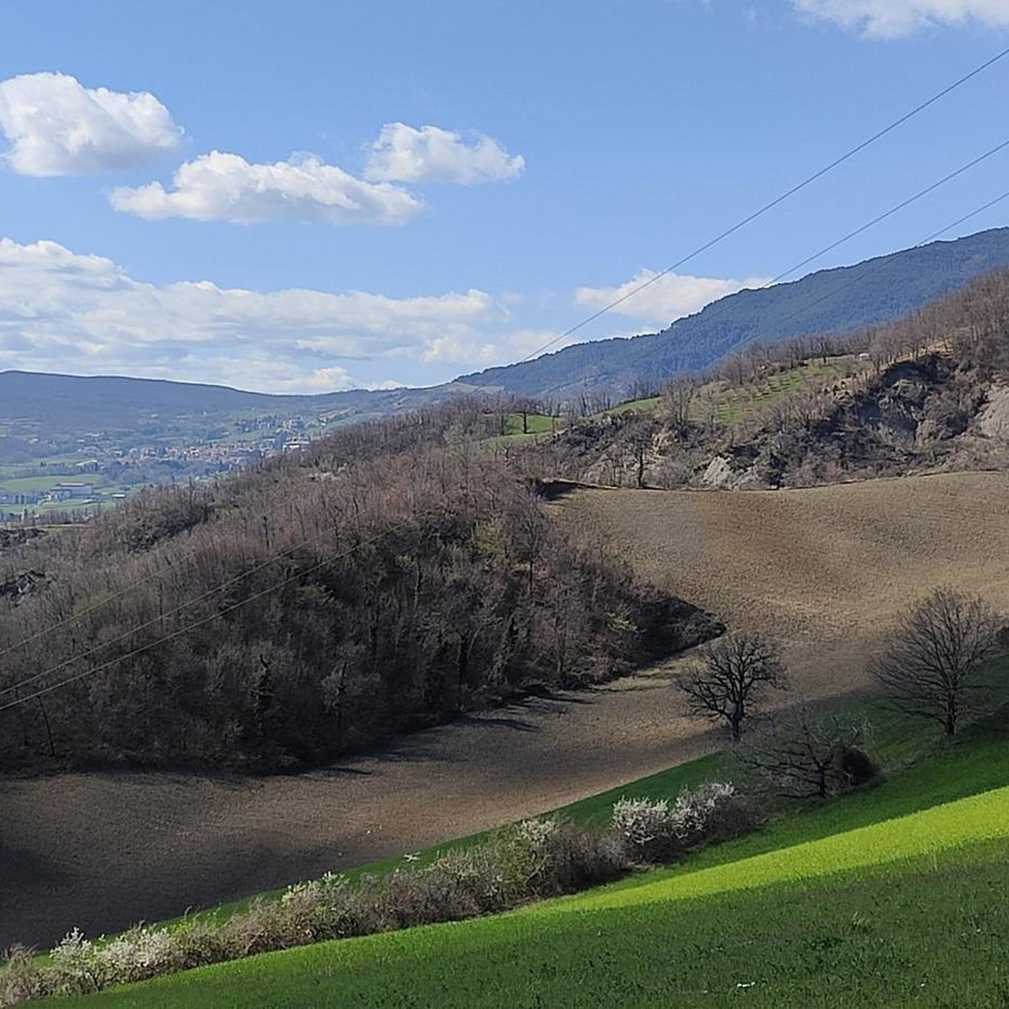
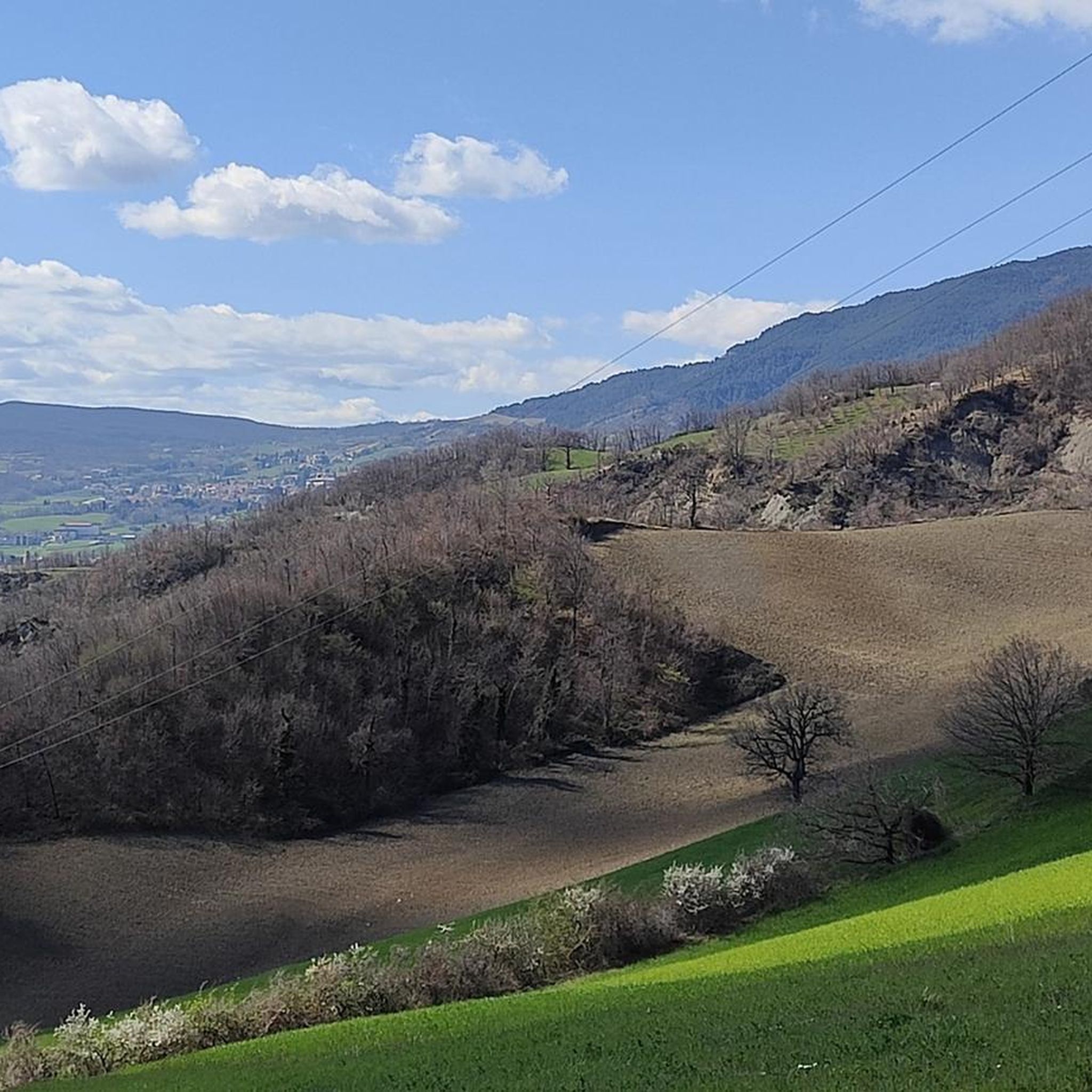
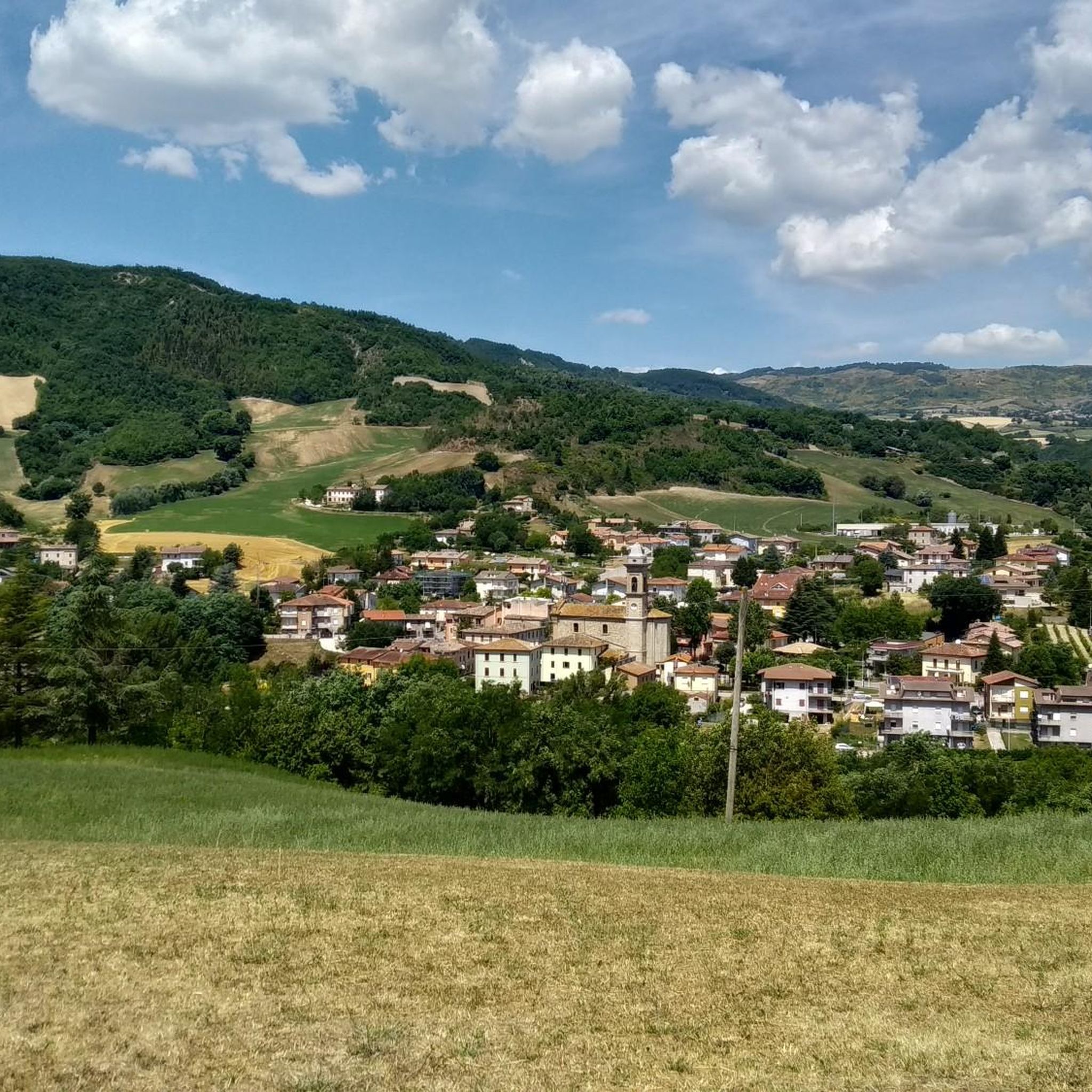
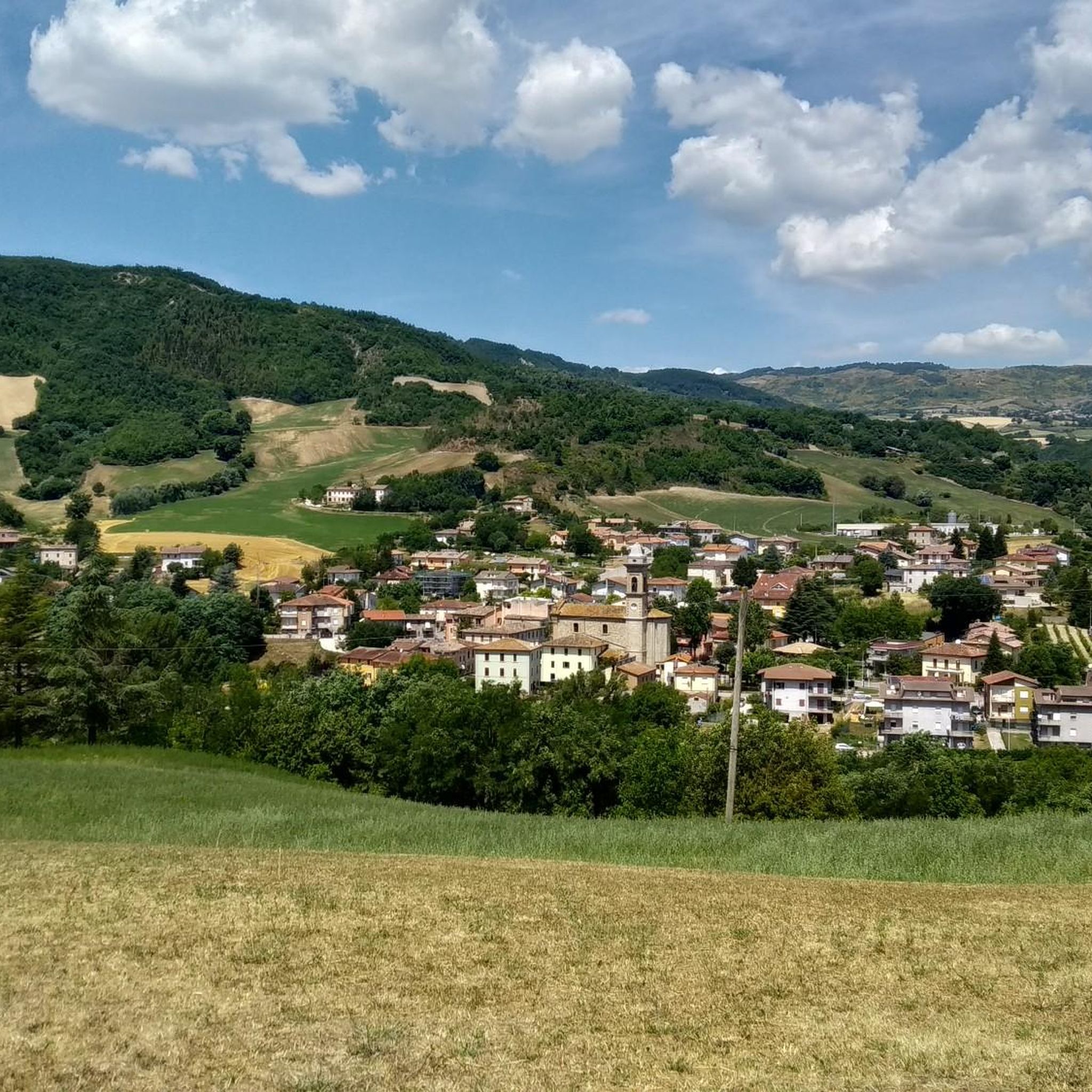
Hiking around Piandimeleto offers diverse natural features within Italy's Marche region, characterized by verdant hills and varied Apennine terrain. The area includes prominent features like Monte Carpegna, reaching 1,415 meters, and the impressive Sasso Simone, part of a protected interregional park. The landscape features a calcareous geological composition with lush forests of beech and oak, providing a mix of gentle panoramas and more challenging areas.
Best hiking trails around Piandimeleto
- The most popular hiking route is Alta Via dei Parchi:…
Last updated: October 16, 2026
5.0
(1)
4
hikers
12.8km
03:59
490m
490m
Moderate hike. Good fitness required. Easily-accessible paths. Suitable for all skill levels.
4.1
(21)
65
hikers
13.6km
04:08
480m
480m
Moderate hike. Good fitness required. Easily-accessible paths. Suitable for all skill levels.

4.6
(14)
63
hikers
13.4km
04:14
530m
530m
Moderate hike. Good fitness required. Mostly accessible paths. Sure-footedness required.
4.6
(14)
60
hikers
10.4km
03:40
470m
470m
Moderate hike. Good fitness required. Mostly accessible paths. Sure-footedness required.
4.5
(84)
297
hikers
9.44km
02:57
310m
310m
Moderate hike. Good fitness required. Mostly accessible paths. Sure-footedness required.
Get access to more routes and recommendations from other explorers.
Already have an account?
Our route recommendations are based on thousands of hikes, rides, and runs completed by other people on komoot.
Start today with a free account
Your next adventure awaits.

Tips from the Community

beautiful rock platform with a flat summit and vertical surrounding walls, with beautiful views all around. There are two climbing possibilities: from the west with a steep path equipped with ropes and from the east, from the bivouac, with a wider and walkable path.
1
0

Hike on a beautiful October day, let's see if I can do it in winter with snow🤪
0
0

Highly recommended, watch out for cows with ticks and those that stand in front of the gate without moving
0
0
Beautiful, well kept
0
0

Hi, roughly how far is Sasso Simone from Sella dei Sassi? I mean without climbing up 😅. Thanks!
0
0

adventurous, difficult, but worth doing
0
0
Frequently Asked Questions
How many hiking trails are available around Piandimeleto?
Piandimeleto offers over 190 hiking trails, catering to a wide range of abilities. You'll find everything from gentle paths through verdant hills to more challenging mountain routes, ensuring there's something for every hiker.
What kind of terrain can I expect on hikes in Piandimeleto?
The terrain around Piandimeleto is quite varied, ranging from verdant hills and lush forests of beech and oak to the more rugged, calcareous formations of Monte Carpegna and Sasso Simone. You can expect a mix of gentle paths and more challenging, sometimes wilder, Apennine landscapes.
Are there family-friendly hiking options in Piandimeleto?
Yes, Piandimeleto has numerous options suitable for families. There are 48 easy routes that are generally less strenuous and shorter, perfect for a leisurely walk with children. These often traverse verdant hills and offer accessible paths.
Can I bring my dog on the hiking trails in Piandimeleto?
Many trails in the Piandimeleto area are dog-friendly, allowing you to explore the natural beauty with your canine companion. It's always advisable to keep dogs on a leash, especially in areas with wildlife or near livestock, and to check local regulations for specific trails within protected areas like the Interregional Park of Sasso Simone and Simoncello.
Are there any circular hiking routes in the area?
Yes, Piandimeleto offers several scenic circular routes. For example, the Sasso di Simone Viewpoint – Sasso Simone loop from Carpegna is a popular moderate 7.9-mile (12.7 km) path that provides panoramic views around the Sasso Simone natural monument. Another option is the View of Sasso Simone – Cliffs of Sasso Simone loop from Carpegna, an 8.3-mile (13.4 km) trail through dramatic cliffs.
What are some notable natural landmarks or viewpoints I can see while hiking?
The region is rich in natural landmarks. You can hike to the impressive Sasso Simone, part of a protected interregional park, or reach the Summit of Monte Carpegna for expansive views. Don't miss the Croce dei Salti, which offers another fantastic viewpoint.
What cultural or historical sites can I visit near the hiking trails?
Beyond the natural landscapes, you can explore the medieval-style village of Piandimeleto itself, which features the Castle of the Counts Oliva. Nearby, you might encounter the Montecopiolo Castle or the charming Pietrarubbia village, often integrated into longer routes. The Palace of the Princes of Carpegna is another historical site worth visiting.
What is the best time of year to go hiking in Piandimeleto?
The spring and autumn months generally offer the most pleasant conditions for hiking in Piandimeleto, with mild temperatures and vibrant natural colors. Summer can also be enjoyable, especially at higher elevations like Monte Carpegna, though it can be warmer. Winter hiking is possible, particularly on lower-altitude trails, but requires appropriate gear for potentially colder and snowier conditions.
Are there challenging hikes for experienced trekkers?
Absolutely. For experienced trekkers, the region offers 47 difficult routes, often involving significant elevation changes and rugged terrain, particularly around Monte Carpegna and Sasso Simone. These trails provide a rewarding challenge and stunning panoramic views.
What do other hikers enjoy most about hiking in Piandimeleto?
The area is highly rated by the komoot community, with an average score of 4.5 stars from over 700 reviews. Reviewers often praise the diverse landscapes, from verdant hills to prominent peaks, and the variety of routes suitable for different fitness levels. The well-maintained trails and the opportunity to explore both natural beauty and historical sites are frequently highlighted.
Is there public transport or parking available near the trailheads?
While specific public transport options to every trailhead might be limited, many routes are accessible by car, and parking is generally available in or near the villages like Piandimeleto, Carpegna, or Pietrarubbia, which serve as common starting points for hikes. It's recommended to plan your route and check for specific parking information for your chosen trailhead.
Are there any routes that pass through charming villages?
Yes, many routes in the Piandimeleto area are designed to connect natural landscapes with local culture. For instance, the Pietrafagnana rock formation – Ponte Cappuccini Convent loop from Pietrarubbia allows you to explore the historic Pietrarubbia village. Other trails often pass through or near villages like Frontino and Lunano, offering a chance to experience local life and architecture.
Most popular routes around Piandimeleto
Most popular attractions around Piandimeleto

Get inspired with the komoot mobile app


Explore more
Browse the best Hikes in other regions.
