The best cycling routes around Frùmini Majori/Fluminimaggiore
4.6
(206)
2,249
riders
24
rides
Touring cycling routes around Frùmini Majori/Fluminimaggiore navigate a diverse landscape characterized by coastal pebble coves, flat rock formations, and inland Mediterranean scrub. The region features significant geological formations and a rich mining history, offering varied terrain for cyclists. Elevated points like Capo Pecora provide panoramic views of the coastline and surrounding areas. Pine forests and rounded rock formations contribute to the scenic backdrop for cycling.
Best touring cycling routes around Frùmini Majori/Fluminimaggiore
- The most popular touring cycling route is Steep…
Last updated: July 8, 2026
4.3
(4)
78
riders
66.9km
05:43
1,630m
1,630m
Hard bike ride. Very good fitness required. Mostly paved surfaces. Suitable for all skill levels.
4.6
(9)
72
riders
49.5km
03:41
1,160m
1,160m
Hard bike ride. Very good fitness required. Mostly paved surfaces. Suitable for all skill levels.

Sign up for free
5.0
(2)
42
riders
Moderate bike ride. Good fitness required. Mostly paved surfaces. Suitable for all skill levels.
3.6
(5)
36
riders
20.1km
01:12
140m
140m
Easy bike ride. Great for any fitness level. Mostly paved surfaces. Suitable for all skill levels.
4.7
(3)
29
riders
49.7km
03:34
1,000m
1,010m
Hard bike ride. Very good fitness required. Mostly paved surfaces. Suitable for all skill levels.
Get access to more routes and recommendations from other explorers.
Sign up for free
Already have an account?
Our route recommendations are based on thousands of hikes, rides, and runs completed by other people on komoot.
Start today with a free account
Your next adventure awaits.
Login or Signup
Popular around Frùmini Majori/Fluminimaggiore
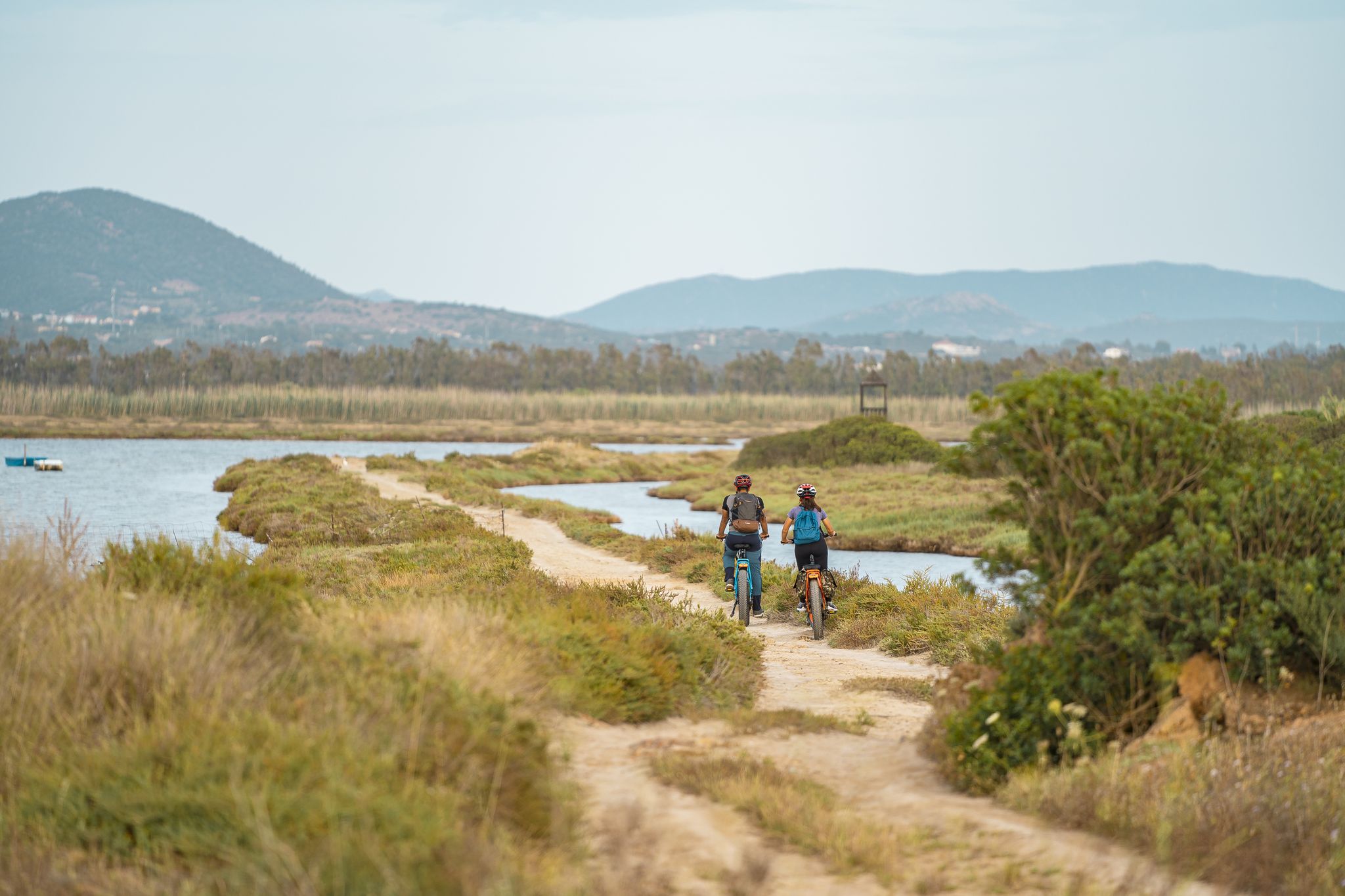
Ciclovia del Cammino Minerario di Santa Barbara
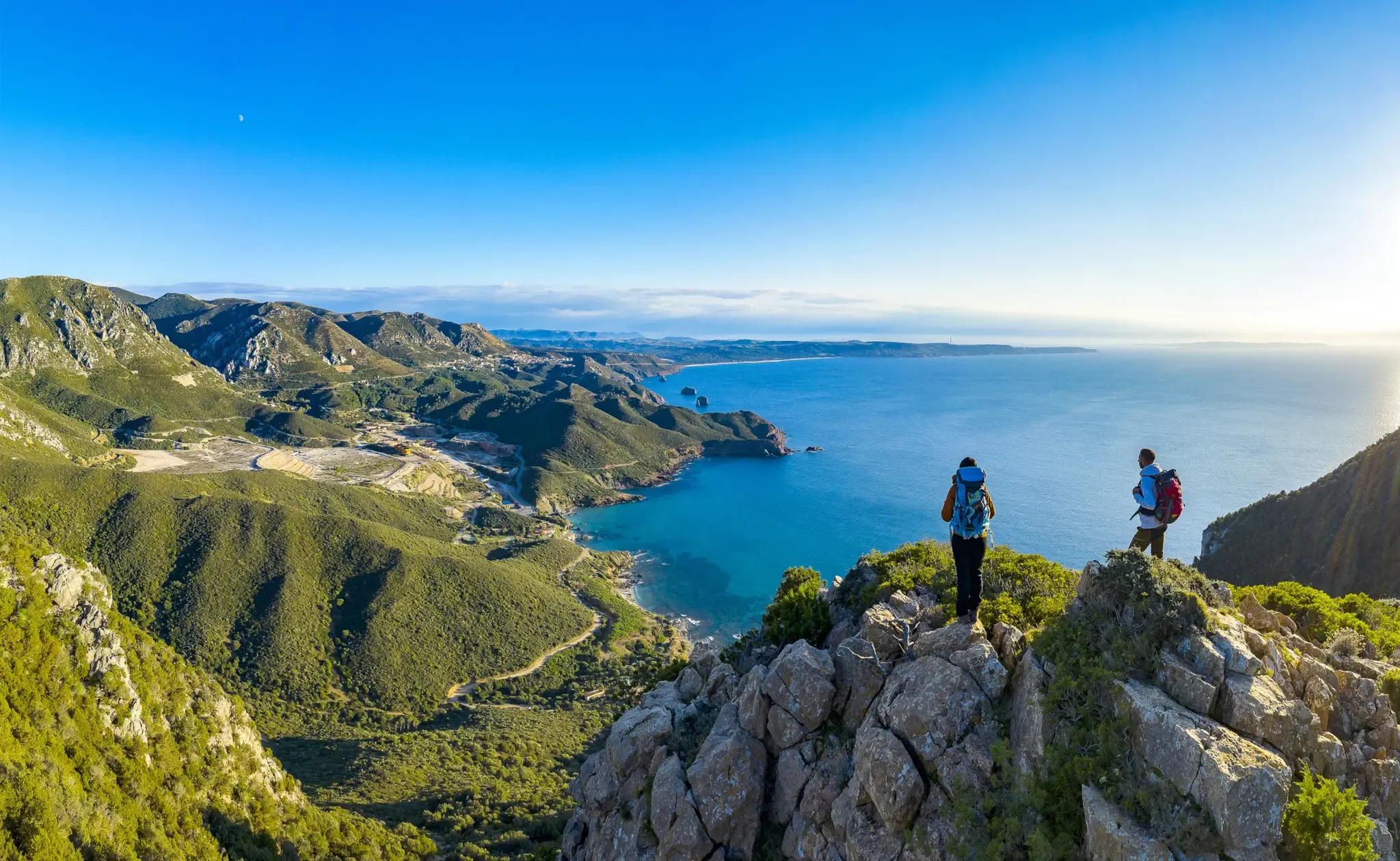
Cammino Minerario di Santa Barbara – memories of ancient Sardinia
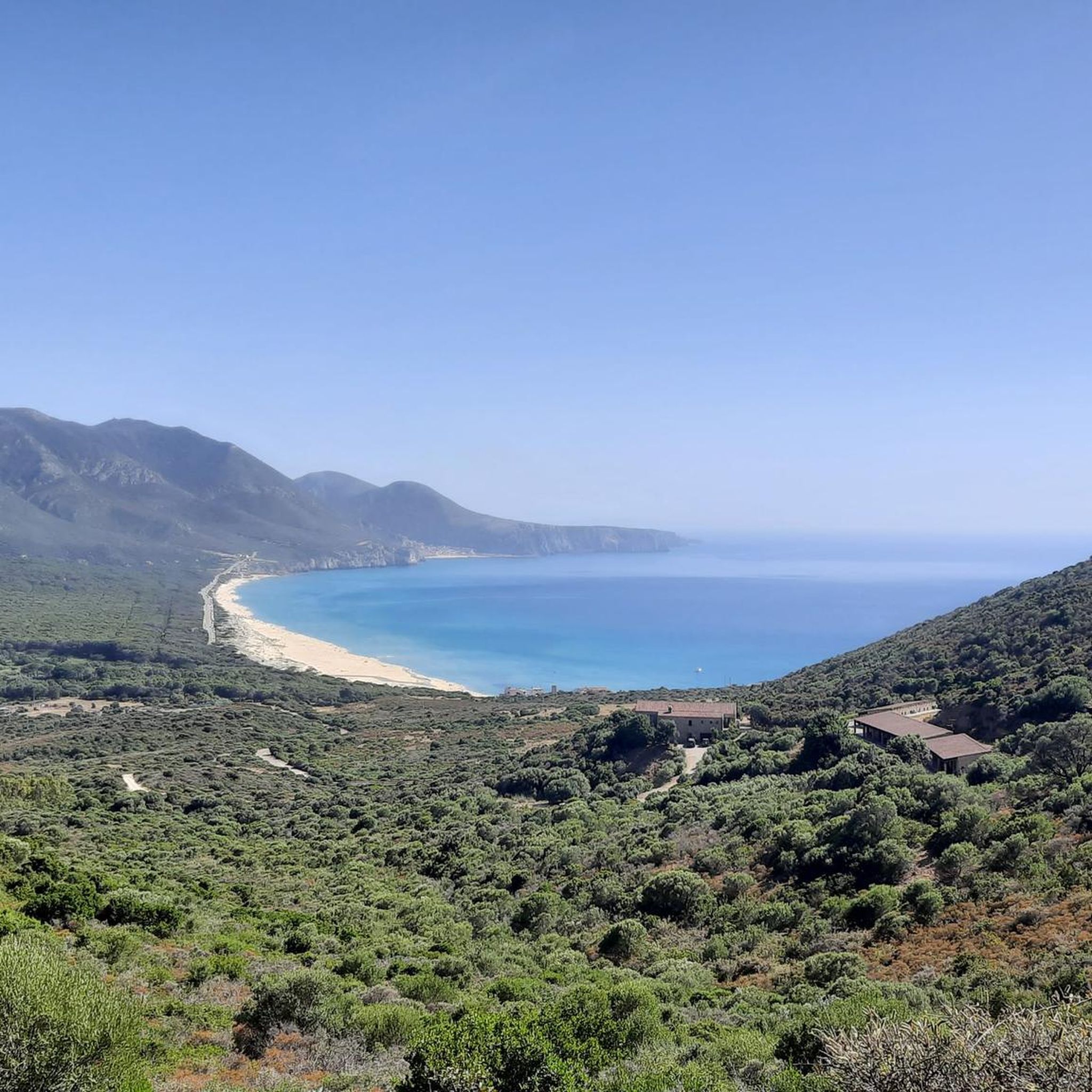
Hiking around Frùmini Majori/Fluminimaggiore
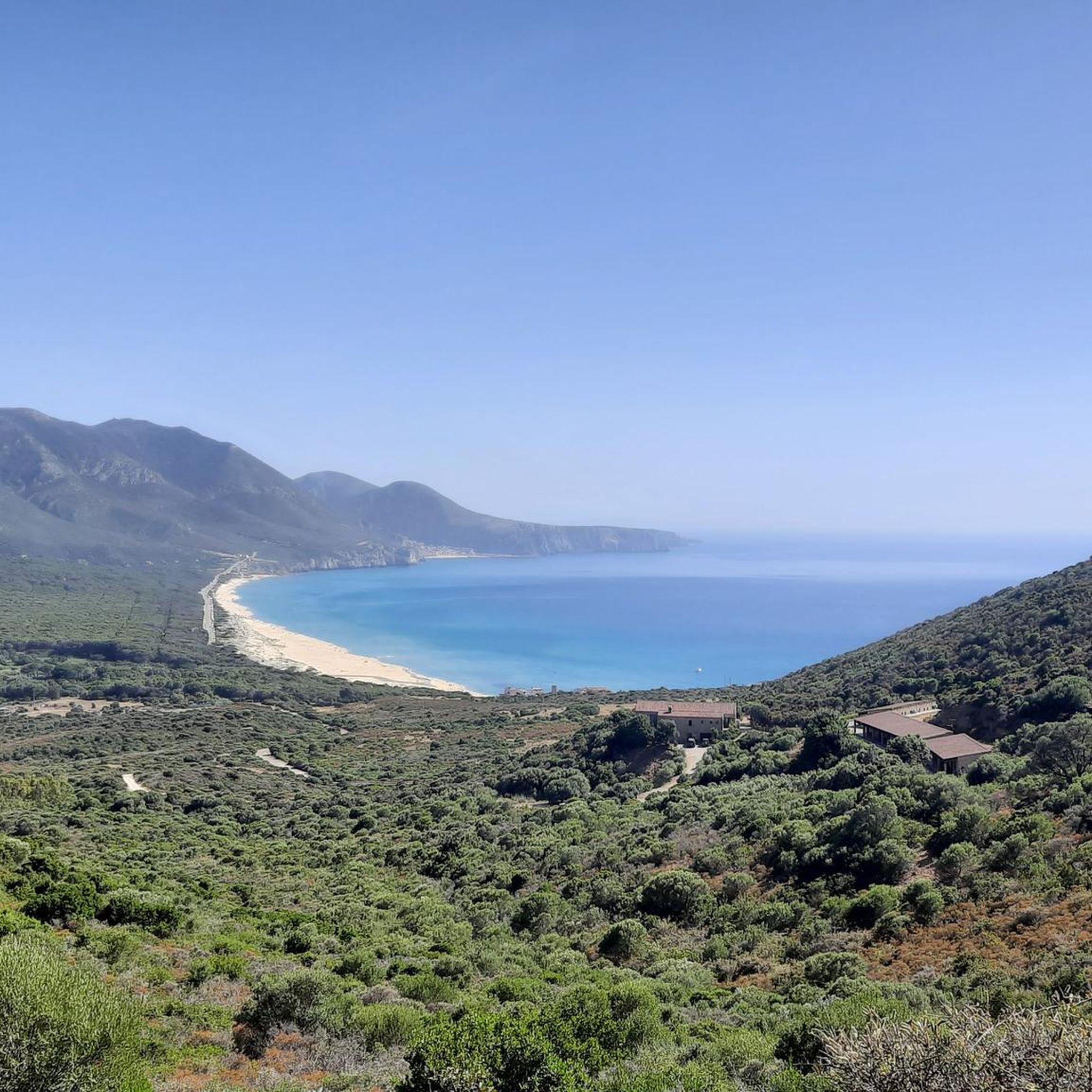
MTB Trails around Frùmini Majori/Fluminimaggiore
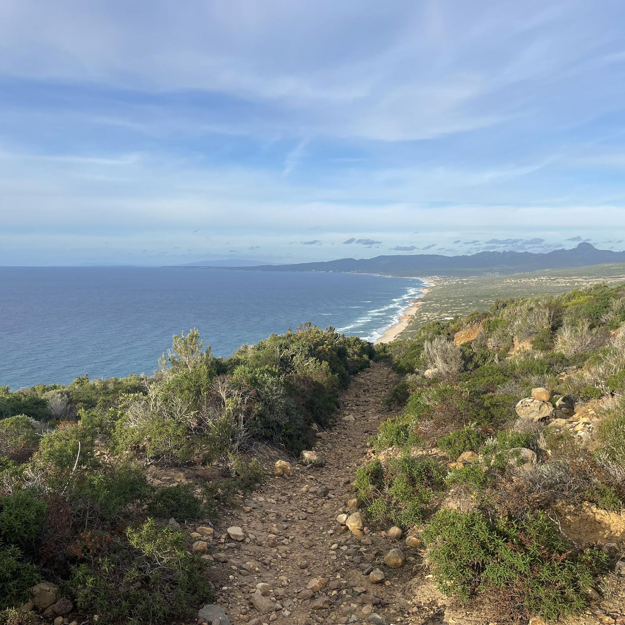
Running Trails around Frùmini Majori/Fluminimaggiore
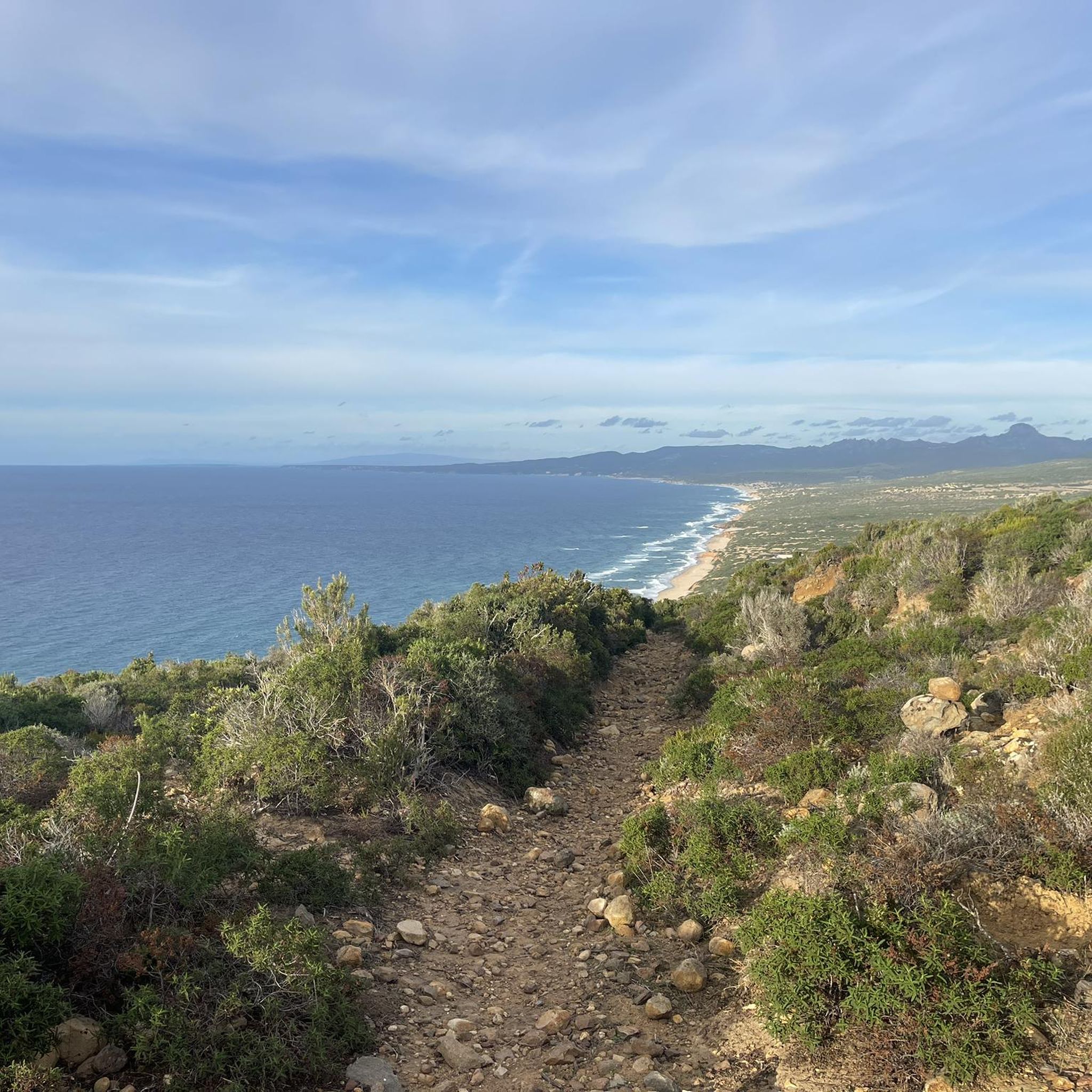
Road Cycling Routes around Frùmini Majori/Fluminimaggiore
Gravel biking around Frùmini Majori/Fluminimaggiore

Tips from the Community

The position of the town of Buggerru is quite unique, it has its own gulf
0
0
The climb is very hard but it's totally worth it, it feels like you're in the middle of a sea of rocks
0
0
The view is as Mediterranean as you can find in this area of the island.
0
1

From the beautiful scenery of the coast around Iglesias, on the southwestern tip of Sardinia, a gigantic sugarloaf rises from the sea. Admiring this imposing rock at sunset, rising from the sea just a few meters from the coast, is truly awe-inspiring: the sunlight radiates all shades of yellow and orange off the limestone formation. The Sugarloaf is one of the island's most impressive and spectacular natural monuments and the symbol of the coast around Iglesias. It takes its name from its resemblance to the famous Sugarloaf in the Bay of Rio de Janeiro, which replaced its original Sardinian name, Concali su Terràinu, in the 18th century. It can be reached by dinghy or boat from the beautiful Masua Bay, a stretch of the coast around Iglesias located 2.5 km away.
4
0
From here you have a good view of Buggerru and the coast.
0
0
Buggerru is an old mining town. Not only the workers but also the company executives lived here.
4
0
You really have to put in the effort here. The scenery is very charming.
3
0
A site of industrial archaeology right on a beautiful coastline. Buggerru was founded in 1864 as a mining village. Today it is a holiday resort with around 1,000 inhabitants, a fifth of what it had at the beginning of the 20th century. The present village, with the parish church dedicated to St. John the Baptist, consists of fan-shaped houses where the valley of Monte Caitas flows into the sea, a channel that gave its name to the Malfidano mine, the most important mine during the mining era from the second half of the 19th century to the beginning of the 20th century. It was active until 1979: in just over a century, Buggerru, already known for its silver in Roman times, produced more than 1 million tons of zinc and 200,000 tons of lead. Its modern small port lies beneath the exit of the Henry Tunnel, now an open-air museum, once a railway tunnel for the transport of extracted minerals.
2
0
Frequently Asked Questions
How many touring cycling routes are available in Frùmini Majori/Fluminimaggiore?
There are 15 dedicated touring cycling routes around Frùmini Majori/Fluminimaggiore, offering a diverse range of experiences from coastal paths to inland explorations. These routes are highly rated by the komoot community, with an average score of 4.6 stars.
What kind of terrain can I expect on touring cycling routes in Frùmini Majori/Fluminimaggiore?
The terrain is quite varied, characterized by coastal pebble coves and flat rock formations, transitioning inland to Mediterranean scrub and pine forests. You'll encounter both challenging ascents and scenic stretches, with large, rounded rock formations contributing to an impressive scenic backdrop. The region's mining history also adds a unique dimension to some routes.
Are there any circular touring cycling routes in the area?
Yes, many of the touring cycling routes in Frùmini Majori/Fluminimaggiore are circular. For example, you can enjoy the Steep Ascent Near Sa Rocha – View of Rocky Cliffs and Sea loop from Tempio di Antas, a challenging 66.9 km route offering extensive coastal views. Another option is the Portixeddu Beach – Balenotto Cove loop from Punta Guàrdia de is Turcus, a moderate 18.7 km ride through coastal areas.
What are some notable natural attractions I can explore along the touring cycling routes?
The region is rich in natural beauty. You can cycle near the impressive Su Mannau Cave, a significant karst cave system. Coastal routes often provide views of Capo Pecora, a prominent headland with panoramic vistas. You might also encounter the Oridda Gorge or the Wasserlöcher des Riu d'Oridda, offering unique natural sights.
Are there historical sites or cultural landmarks accessible by touring bike?
Absolutely. The region has a rich history, particularly its mining heritage. You can explore routes that pass by sites like the Malacalzetta and Malfidano mines. The Su Zurfuru Mine – Arcu Genna Bogai Pass loop from Frùmini Majori/Fluminimaggiore is a challenging 49.6 km route that takes you through this historical landscape. Additionally, the ancient Punic Temple of Antas is a significant archaeological site in the area.
When is the best time of year for touring cycling in Frùmini Majori/Fluminimaggiore?
While cycling is enjoyable for much of the year, August and September are particularly popular months for touring cyclists in Frùmini Majori/Fluminimaggiore. The weather during these months is generally favorable for exploring the diverse coastal and inland routes.
Are there options for longer, more challenging touring cycling adventures?
Yes, Frùmini Majori/Fluminimaggiore offers several difficult routes for experienced touring cyclists. The longest route listed is the Steep Ascent Near Sa Rocha – View of Rocky Cliffs and Sea loop from Tempio di Antas, spanning 66.9 km with over 1600 meters of elevation gain. Another challenging option is the View of Rocky Cliffs and Sea – Steep Ascent Near Sa Rocha loop from Punta Guàrdia de is Turcus, a 49.5 km path with continuous coastal vistas and significant ascents.
What do other touring cyclists enjoy the most about touring cycling in Frùmini Majori/Fluminimaggiore?
The area is highly rated by the komoot community, with an average score of 4.6 stars from over 80 reviews. Cyclists often praise the diverse terrain, from stunning coastal views to the quiet, wild nature of the inland paths, and the unique blend of natural beauty with historical mining landscapes.
Are there any coastal touring cycling routes with sea views?
Many routes offer spectacular sea views. The View of Buggerru and its coastline – View of Buggerru loop from Punta Guàrdia de is Turcus is a moderate 28.5 km route that provides excellent vistas of the coastline. The region's coastline, with its pebble coves and cliffs, ensures many opportunities for scenic rides overlooking the Mediterranean.
Are there any wild swimming spots near the touring cycling routes?
The coastline near Frùmini Majori/Fluminimaggiore features crystal-clear waters and several coves, such as Guardia Is Turcus, Sa Perdixedda Manna, and Sa Perdixedda Pittica. While not explicitly designated as wild swimming spots on routes, these natural coastal areas offer opportunities for a refreshing dip after a ride, especially the long beach split by the Rio Mannu river.
Are there routes suitable for less experienced touring cyclists?
Yes, while many routes are moderate to difficult, there are options for less experienced riders. The Portixeddu Beach – Balenotto Cove loop from Punta Guàrdia de is Turcus is a moderate 18.7 km route that leads through coastal areas and coves, making it a good choice for those seeking a less strenuous ride.
Most popular routes around Frùmini Majori/Fluminimaggiore
Most popular attractions around Frùmini Majori/Fluminimaggiore

Get inspired with the komoot mobile app


Explore more
Browse the best Cycling routes in other regions.
