The best walks and hikes around Schafstedt
4.6
(84)
444
hikers
32
hikes
Hiking around Schafstedt offers diverse landscapes, characterized by rolling hills and proximity to significant natural features. The region features trails along the prominent Kiel Canal, providing views of passing ships, and paths leading through beautiful deciduous and coniferous forests. The area's gentle elevations and varied terrain make it suitable for different fitness levels.
Best hiking trails around Schafstedt
- The most popular hiking route is Kiel Canal – Hohenhörn Canal Ferry loop from Dückerswisch, a 7.3 miles (11.7 km) trail…
Last updated: August 22, 2026
4.7
(20)
109
hikers
11.7km
02:57
20m
20m
Moderate hike. Good fitness required. Easily-accessible paths. Suitable for all skill levels.
4.9
(9)
34
hikers
6.16km
01:33
10m
10m
Easy hike. Great for any fitness level. Easily-accessible paths. Suitable for all skill levels.

Sign up for free
4.7
(3)
37
hikers
Easy hike. Great for any fitness level. Easily-accessible paths. Suitable for all skill levels.
4.8
(4)
28
hikers
Easy hike. Great for any fitness level. Easily-accessible paths. Suitable for all skill levels.
5.0
(4)
22
hikers
Moderate hike. Good fitness required. Easily-accessible paths. Suitable for all skill levels.
Get access to more routes and recommendations from other explorers.
Sign up for free
Already have an account?
Our route recommendations are based on thousands of hikes, rides, and runs completed by other people on komoot.
Start today with a free account
Your next adventure awaits.
Login or Signup
Tips from the Community

Beautiful beer garden with delicious food and cool drinks right on the Kiel Canal - highly recommended💯🔝👍🏻😊🎈 Stop by and enjoy.
2
0

A beautiful cycle path in summer, it was originally a construction road for the A23 bridge embankment; the sand came from the spoil heap. Nature has reclaimed the spoil heap.
0
0
"Art of Nature" between beech and poplar
0
0

It is an experience to use the ferries to change sides on the NOK
1
0
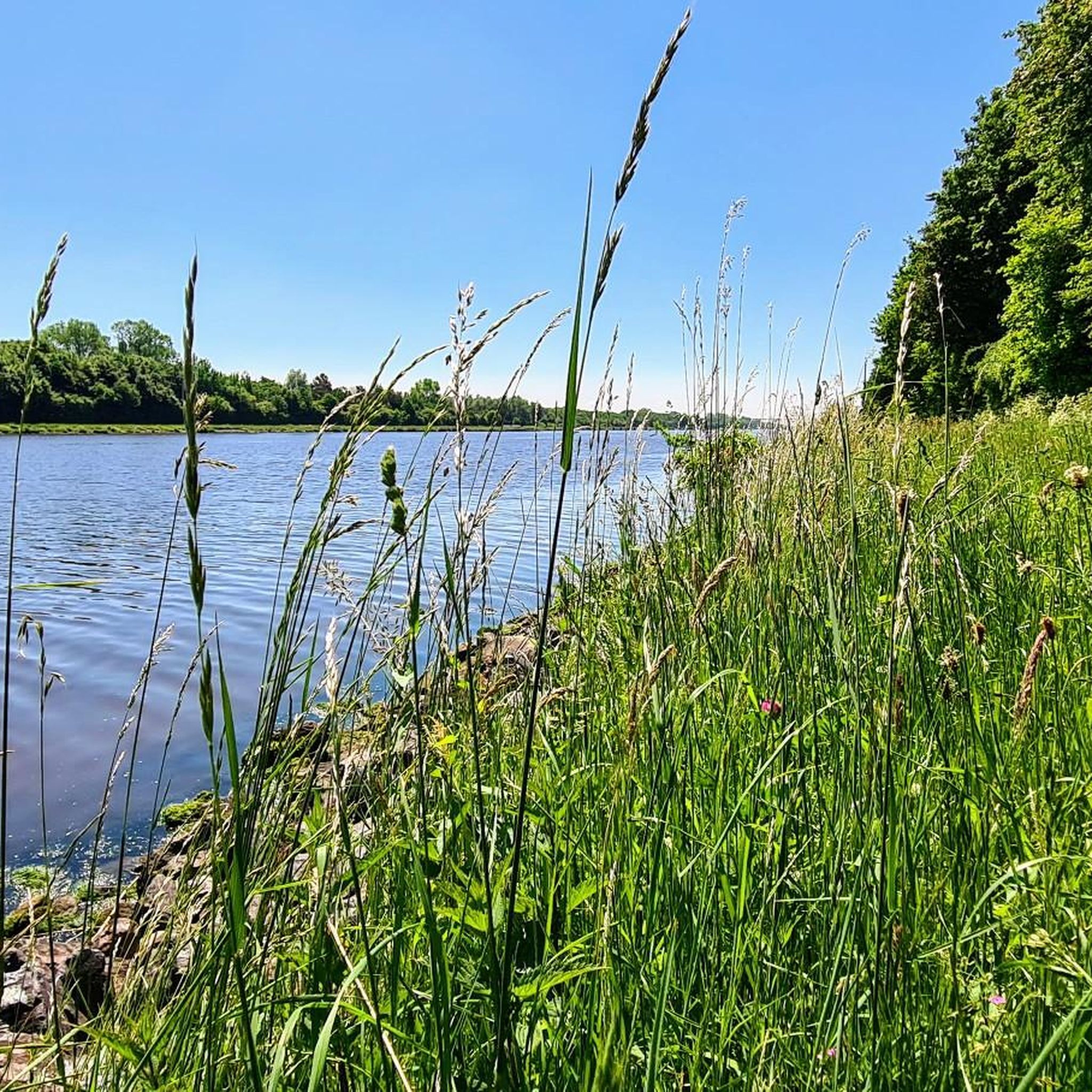
Very beautiful and partly very sunny place to linger and enjoy nature, for nature lovers 🐸🕊🌼🌳🐾
0
0

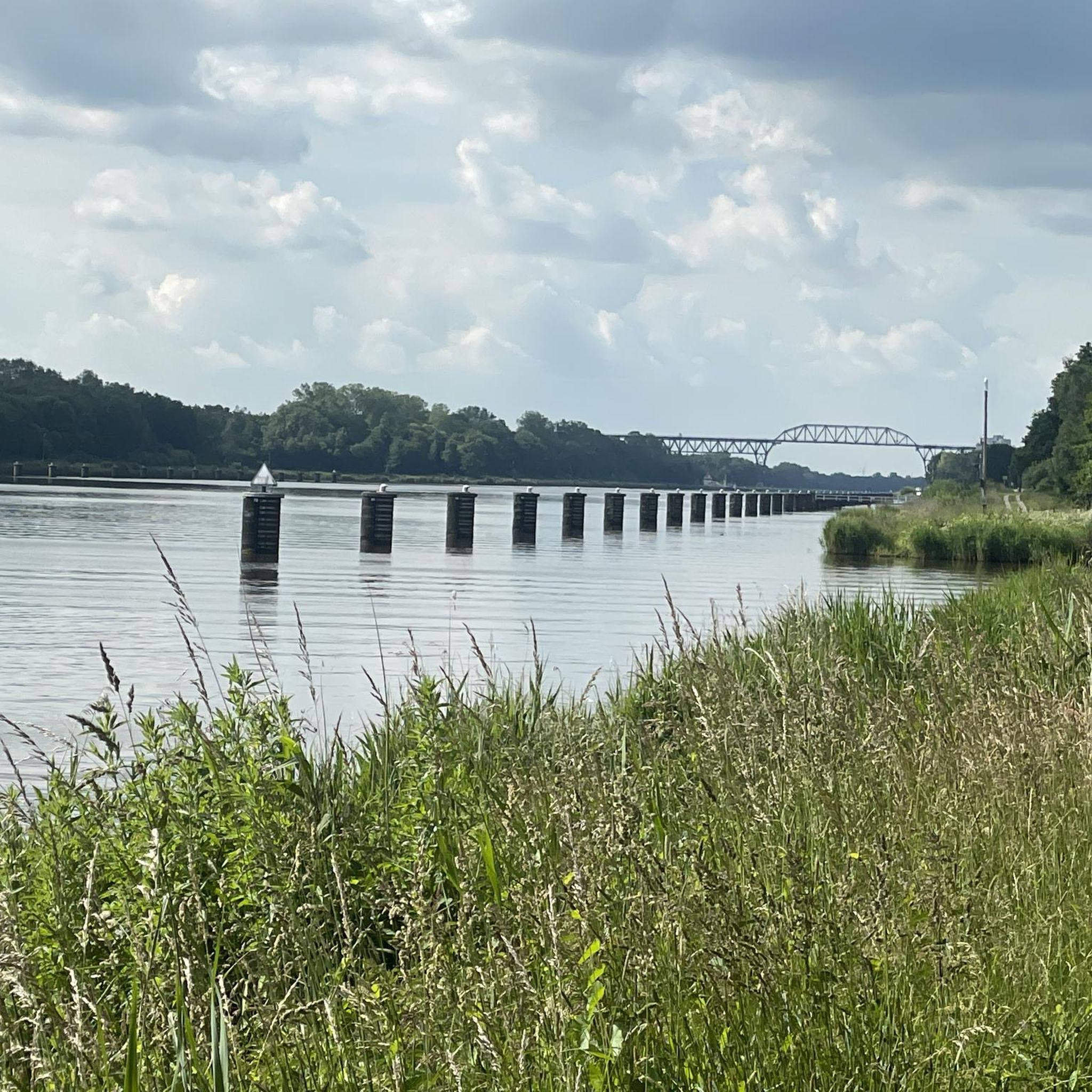
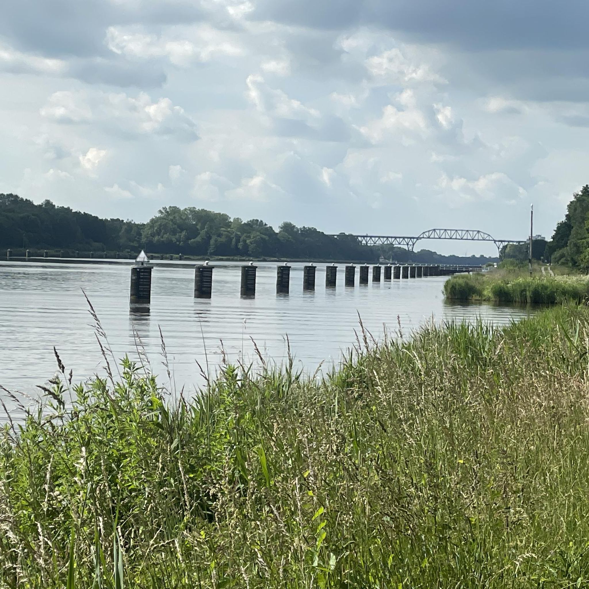
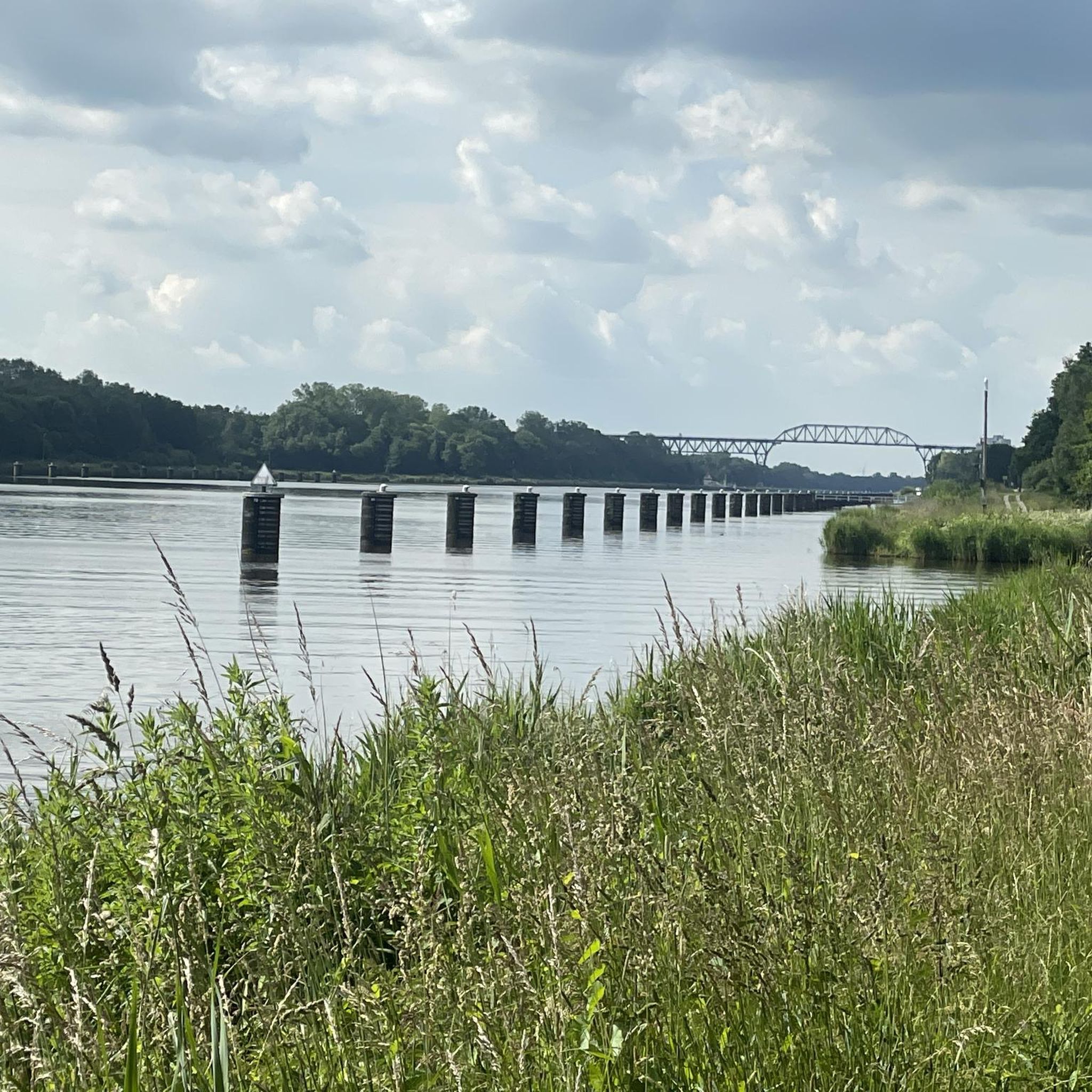
At this point, large ships have to wait when there is oncoming traffic, so with luck you can watch two ships passing at the same time...
0
0
Schönes, kleines Reetdachhaus der Kanalverwaltung. Hier lässt es sich gut nach Schiffen Ausschau halten.
0
0
Hidden near the canal, what might be the story of this boxwood wall? What do you think?
1
0
Frequently Asked Questions
How many hiking trails are available around Schafstedt?
There are over 30 hiking routes around Schafstedt, offering a variety of experiences. These include 22 easy trails, 10 moderate routes, and a couple of more challenging options, ensuring there's something for every fitness level.
Are there easy hiking trails suitable for beginners or families?
Yes, Schafstedt offers many easy trails perfect for beginners or families. For example, the View of the Kiel Canal loop from Dückerswisch is an easy 4.0-mile (6.5 km) path with scenic views. Another great option is the Forest clearing with pond – High Bridge Over the River loop from Schafstedt, a 3.9-mile (6.3 km) trail through pleasant forest clearings.
Can I find circular hiking routes in Schafstedt?
Absolutely. Many of the trails around Schafstedt are circular, allowing you to start and end at the same point. A popular choice is the Kiel Canal – Hohenhörn Canal Ferry loop from Dückerswisch, which is a moderate 7.3-mile (11.7 km) route along the canal.
What natural features or landmarks can I see while hiking?
Hiking around Schafstedt offers diverse sights. You can explore trails along the prominent Kiel Canal, offering views of passing ships. The region also features rolling hills and beautiful deciduous and coniferous forests. For specific landmarks, consider visiting the Lowest Point in Germany or the unique Exposed roots of the ancient beech in the Gieselau Valley.
Are the hiking trails around Schafstedt dog-friendly?
Many trails in the Schafstedt area are suitable for hiking with dogs, especially those through forests and along the Kiel Canal. It's always a good idea to keep your dog on a leash, especially near wildlife or other hikers, and to check local regulations for specific nature reserves.
What is the best time of year to go hiking in Schafstedt?
Schafstedt is particularly beautiful in spring when the landscape is in full bloom. However, it retains its charm throughout summer and autumn, making these seasons ideal for outdoor activities. The varied terrain and forests offer pleasant conditions for hiking during these months.
Are there any hiking routes along the Kiel Canal?
Yes, the Kiel Canal is a prominent feature with excellent hiking opportunities. Trails along the canal provide unique views of passing ships. The View of the Kiel Canal – Klein Westerland Swimming Area loop from Dückerswisch is an easy 4.8-mile (7.8 km) route that showcases the canal.
What do other hikers say about the trails in Schafstedt?
The hiking routes in Schafstedt are highly rated by the komoot community, with an average score of 4.6 stars from over 70 reviews. Hikers often praise the well-maintained paths, the scenic views along the Kiel Canal, and the peaceful forest sections.
Are there options for longer, more challenging hikes?
While many trails are easy to moderate, there are options for longer excursions. The High Bridge Over the River – Grünental High Bridge loop from Schafstedt is a moderate 10.6-mile (17.0 km) route that offers a more extended experience, taking you past significant landmarks.
Where can I find places to eat or drink after a hike?
After a day of hiking, you can enjoy culinary delights in Schafstedt and its surroundings. Regional specialties like kale with Pinkel or Labskaus are available. For more information on local attractions and dining options, you might find details on the local tourism association's website: tourismusverein-schafstedt.de.
Is it possible to reach hiking trailheads by public transport?
Schafstedt is generally well-connected, but specific public transport options to individual trailheads can vary. It's advisable to check local bus schedules or regional transport information for the most up-to-date details on reaching your desired starting point.
Are there specific parking facilities for hikers?
Many trailheads and popular starting points in and around Schafstedt offer designated parking areas for hikers. These are often found near villages or key attractions. Always look for signs indicating public parking or specific hiker parking to ensure convenience.
What kind of landscapes can I expect to see?
The region around Schafstedt is characterized by diverse and picturesque landscapes. You'll encounter rolling hills, providing varied terrain, as well as beautiful deciduous and coniferous forests. The prominent Kiel Canal and its surrounding paths offer unique views, and the area's proximity to the Wadden Sea hints at a rich natural environment.
Most popular attractions around Schafstedt

Get inspired with the komoot mobile app


Explore more
Browse the best Hikes in other regions.
