The best road cycling routes around Santa Elisabetta
5.0
(1)
72
riders
11
rides
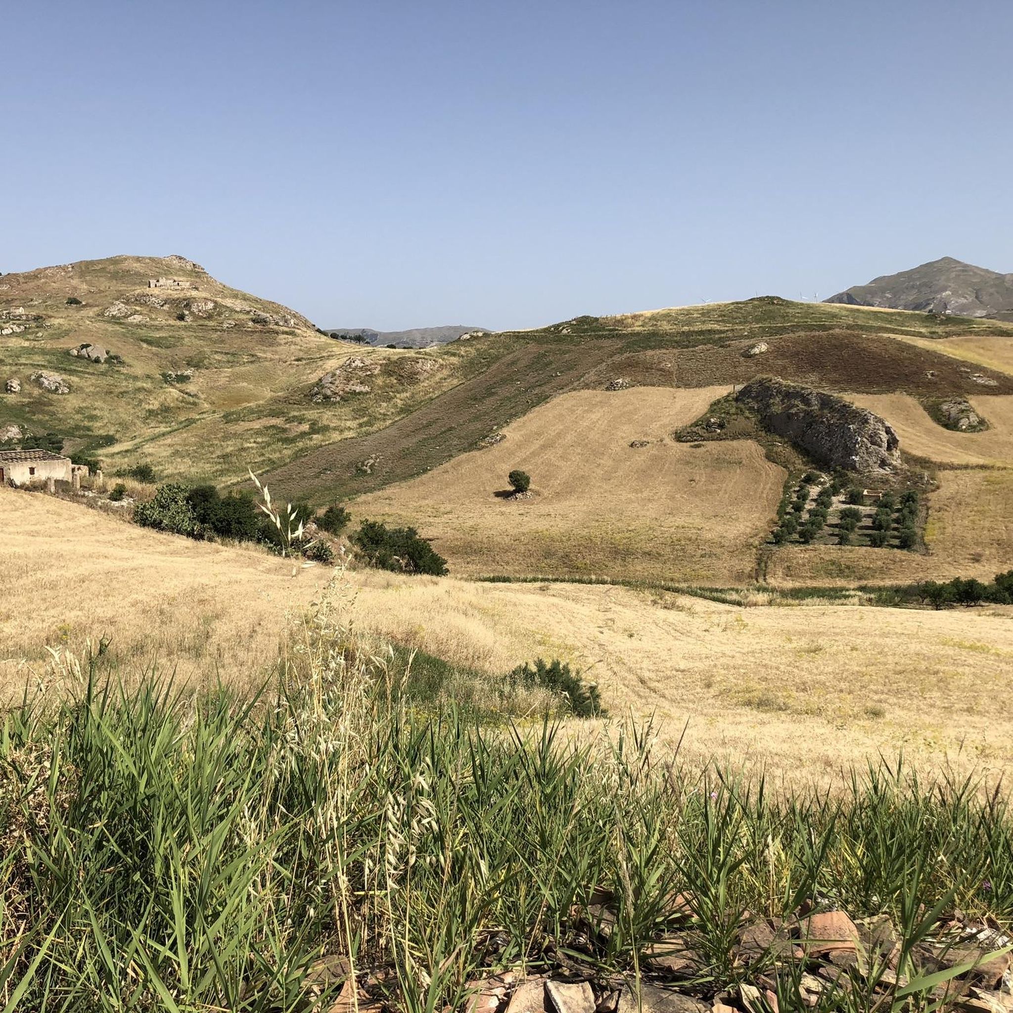
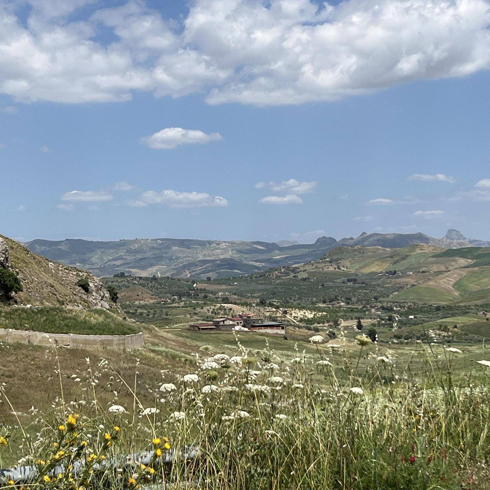
Road cycling routes Santa Elisabetta Italy traverse a diverse hilly landscape situated between the Platani and Salso rivers. The region features an arid terrain with elevations ranging from approximately 457 meters to 800 meters, providing varied inclines and descents. Prominent features include Monte Guastanella, a chalky hill offering scenic views and archaeological interest. The area's rural scenery, characterized by agricultural lands, contributes to the cycling experience.
Best road cycling routes around Santa Elisabetta
- The most popular road cycling route is…
Last updated: July 5, 2026
22
riders
78.9km
03:59
1,040m
1,040m
Hard road ride. Very good fitness required. Some segments of this route may be unpaved and difficult to ride.
6
riders
41.4km
02:03
640m
640m
Moderate road ride. Good fitness required. Mostly well-paved surfaces and easy to ride.

Sign up for free
7
riders
99.5km
05:20
1,760m
1,760m
Hard road ride. Very good fitness required. Mostly well-paved surfaces and easy to ride.
5.0
(1)
13
riders
91.2km
04:20
1,250m
1,250m
Hard road ride. Very good fitness required. Mostly well-paved surfaces and easy to ride.
11
riders
35.6km
01:41
470m
470m
Moderate road ride. Good fitness required. Mostly well-paved surfaces and easy to ride.
Get access to more routes and recommendations from other explorers.
Sign up for free
Already have an account?
Our route recommendations are based on thousands of hikes, rides, and runs completed by other people on komoot.
Start today with a free account
Your next adventure awaits.
Login or Signup
Popular around Santa Elisabetta

Tips from the Community

The temple is a highlight, but that doesn't mean it needs five identical highlight entries.
1
0
The Temple of Heracles is the oldest temple on the southern city wall and dates back to the archaic period at the beginning of the 5th century BC. It rests on a three-tiered base. The eight columns on the south side were re-erected in 1924, and the column stump on the north side in the 19th century. https://de.wikipedia.org/wiki/Arch%C3%A4ologische_St%C3%A4tten_von_Agrigent#Heraklestempel
1
0

Beautiful view. Great photo perspective.
4
0
Beautiful view of the temple. Plan a photo stop! 🤩
3
0

The Temple of Heracles (or Hercules) is the oldest in the Valley of the Temples and was dedicated to the god Heracles/Hercules, whom the inhabitants of ancient Akragas held in particularly high esteem. It was destroyed by an earthquake; today, only eight of its columns remain.
3
1
The Temple of Concordia (Temple of Concord), whose name derives from a Latin inscription found nearby, also dates back to the 5th century BC. Today, it is probably the best-preserved of all Greek temples. It was converted into a Christian basilica in the 6th century.
4
0

From here you can access the Valley of the Temples, a vast archaeological site that preserves the monumental remains of the ancient Greek polis of Akragas, including seven Doric temples dating back to the 6th–5th century BC. Since 1997, the Valley of the Temples has been a UNESCO World Heritage Site. For information on tickets and visiting times: https://www.coopculture.it/it/prodotti/biglietto-parco-archeologico-e-paesaggistico-della-valle-dei-templi/
1
0

WONDERFUL ROUTE
0
0
Frequently Asked Questions
What kind of terrain can I expect on road cycling routes in Santa Elisabetta?
The region around Santa Elisabetta features a diverse, arid, and hilly landscape, situated between the Platani and Salso rivers. You'll encounter varied inclines and descents, with elevations ranging from approximately 457 meters to 800 meters. The scenery often evokes a 'western movie' atmosphere, characterized by picturesque rural agricultural lands.
Are there road cycling routes suitable for beginners or those looking for an easy ride?
Yes, there are options for easier rides. For instance, the Belvedere Arancio loop from Fontanelle is an easy 16.0-mile (25.7 km) trail that leads through local hills and provides panoramic viewpoints, typically completed in about 1 hour 10 minutes.
What are some challenging road cycling routes in the Santa Elisabetta area?
For a more challenging experience, consider the Castello di Naro – Fun loop from Aragona Caldare. This difficult 56.9-mile (91.7 km) path features significant elevation gain, passing through varied terrain towards the historic Castello di Naro.
Can I find circular road cycling routes around Santa Elisabetta?
Yes, several routes are designed as loops. Examples include the Aragona loop from Aragona, a moderate 21.6-mile (34.8 km) route, and the Belvedere Arancio loop from Fontanelle, which is an easier 16.0-mile (25.7 km) option.
What historical or natural landmarks can I see while road cycling near Santa Elisabetta?
The region is rich in points of interest. You might encounter Joppolo Giancaxio with its ducal castle, or the imposing Torre del Salto d’Angiò. Monte Guastanella, a chalky hill, offers archaeological interest and scenic views, including ancient caves. The Necropolis of Keli also provides a glimpse into ancient history.
Are there any picturesque villages or towns to visit on a road cycling tour?
Absolutely. The village of Joppolo Giancaxio, known for its ducal castle and yellow melon cultivation, makes for an interesting stop. Nearby Aragona is also a notable town, famous for the unique Macalube mud volcanoes.
What is the best time of year for road cycling in Santa Elisabetta?
Given the arid landscape, spring and autumn generally offer the most pleasant conditions for road cycling in Santa Elisabetta, with milder temperatures. Summers can be quite hot, which might make longer rides more challenging, especially during midday.
Are there options for longer road cycling tours from Santa Elisabetta?
Yes, for those seeking longer distances, routes like the Castello di Naro – Fun loop from Aragona Caldare cover 56.9 miles (91.7 km). Other moderate options include the Aragona loop from Raffadali at 41.4 miles (66.6 km) or the View of Agrigento loop from Raffadali at 42.7 miles (68.7 km).
What do other cyclists say about road cycling in Santa Elisabetta?
The road cycling routes around Santa Elisabetta are highly rated by the komoot community, with an average score of 5.0 stars from reviews. Cyclists often praise the varied terrain and the scenic rural agricultural landscapes.
Can I combine road cycling with visiting the Valley of the Temples?
While not directly within Santa Elisabetta, the UNESCO World Heritage site of the Valley of the Temples in Agrigento is approximately 21-22 km away. You can plan routes that incorporate this significant archaeological site, such as the View of Agrigento loop from Raffadali, allowing you to enjoy both the physical activity and the ancient Greek architectural wonders.
Are there any specific viewpoints or scenic spots along the routes?
Many routes offer panoramic views due to the hilly terrain. The Belvedere Arancio loop from Fontanelle is specifically noted for providing panoramic viewpoints of the area. Monte Guastanella also offers rewarding views from its elevated position.
Most popular routes around Santa Elisabetta
Most popular attractions around Santa Elisabetta

Get inspired with the komoot mobile app


Explore more
Browse the best Road cycling routes in other regions.
