The best MTB trails around San Romano In Garfagnana
4.5
(752)
3,508
riders
181
rides
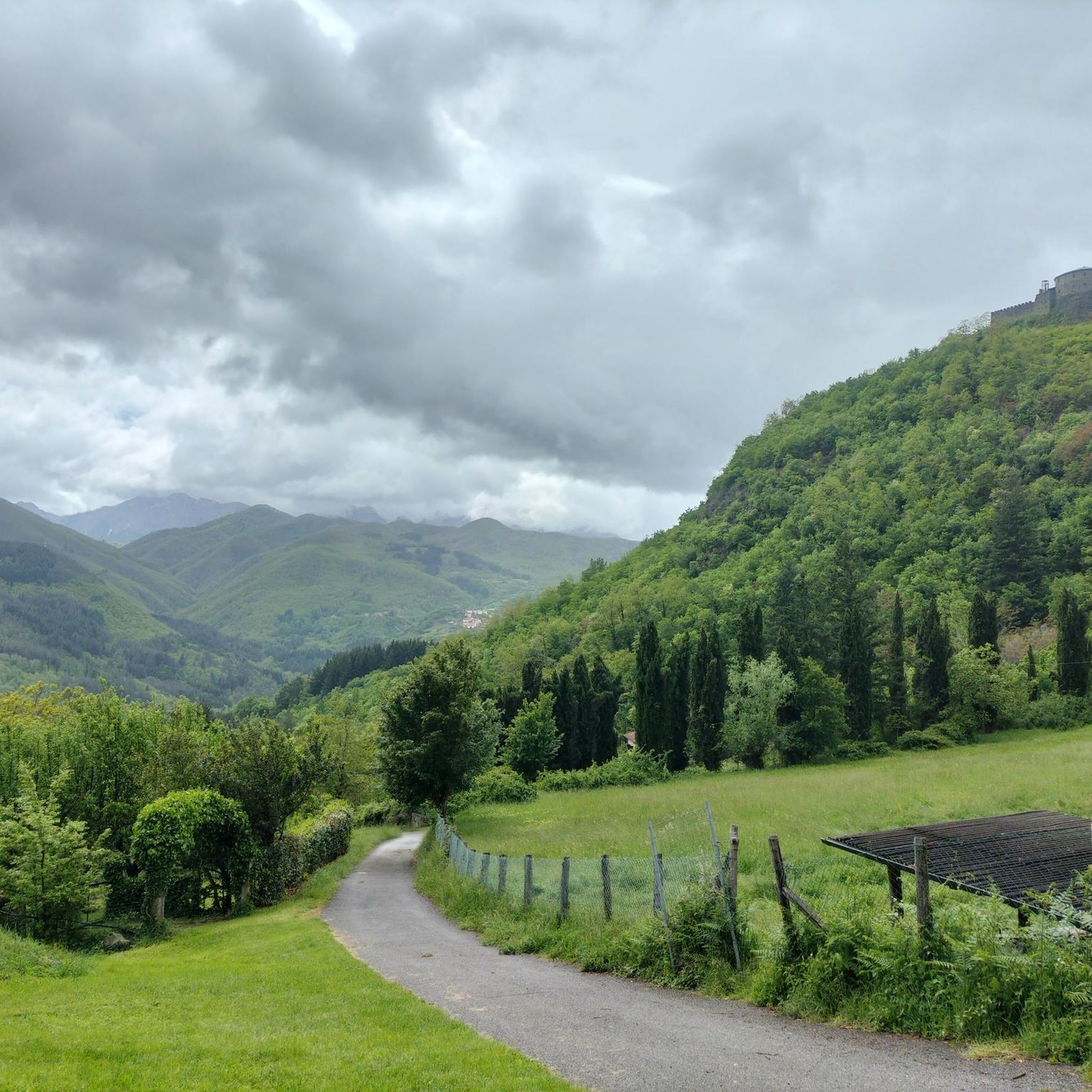
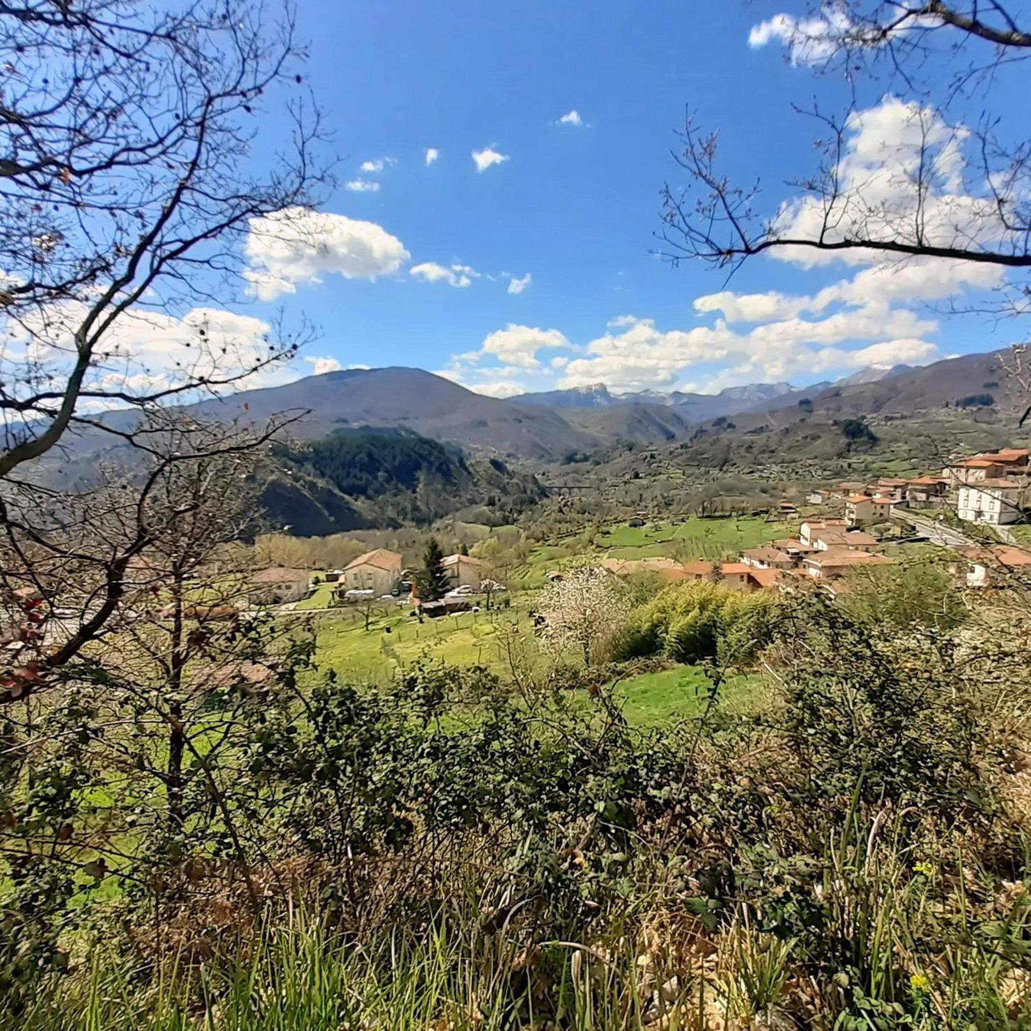
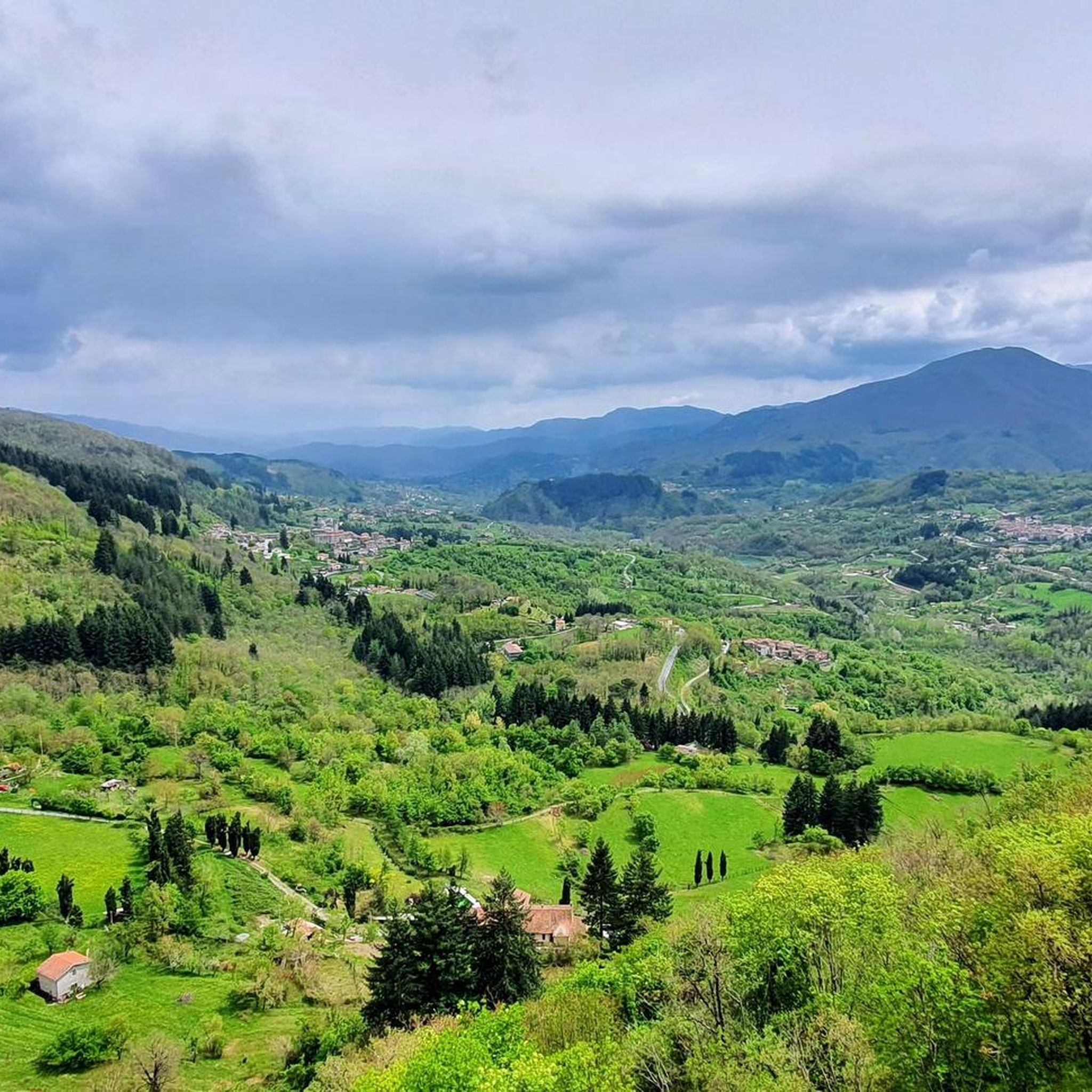
Mountain biking around San Romano In Garfagnana offers diverse terrain within Tuscany's Garfagnana region, characterized by the green valley of the upper Serchio river. The area features a mountainous environment with varied landscapes, including the Apuan Alps and Apennine mountains, providing a mix of inclines, descents, and rocky outcrops. Beech woods and vast green areas, such as those found in Orecchiella Park, contribute to the region's natural appeal for mountain bikers. This combination of river valleys and mountain ranges creates…
Last updated: July 7, 2026
4.8
(12)
120
riders
51.4km
05:29
1,590m
1,590m
The Orecchiella-Abetina Trail offers a challenging mountain biking experience through Italy's Appennino Tosco-Emiliano National Park. You'll cover a substantial 31.9 miles (51.4 km) with a significant elevation gain of 5206…
4.9
(8)
32
riders
30.0km
02:30
710m
710m
Moderate mountain bike ride. Good fitness required. Advanced riding skills necessary.

Sign up for free
3.5
(4)
38
riders
29.3km
02:41
830m
830m
Moderate mountain bike ride. Good fitness required. Advanced riding skills necessary.
4.3
(6)
23
riders
71.1km
06:54
2,260m
2,260m
Hard mountain bike ride. Very good fitness required. Advanced riding skills necessary.
5.0
(1)
30
riders
25.1km
02:25
830m
830m
Hard mountain bike ride. Good fitness required. Advanced riding skills necessary. Some portions of the route may require you to push your bike.
Get access to more routes and recommendations from other explorers.
Sign up for free
Already have an account?
Our route recommendations are based on thousands of hikes, rides, and runs completed by other people on komoot.
Start today with a free account
Your next adventure awaits.
Login or Signup
Popular around San Romano In Garfagnana


Tips from the Community

The Rifugio Bargetana is an alpine structure located at 1,740 meters above sea level in the upper Val d'Ozola, in the heart of the Tuscan-Emilian Apennine National Park at the foot of Monte Prado. It is family-run and is about a 15-minute walk from the homonymous glacial lake of Bargetana.
0
0
The Passo di Lama Lite is a very important mountain pass located at an altitude of 1,749 meters in the Alto Appennino Reggiano, on the border between Emilia-Romagna and Tuscany. It is located in the heart of the Tuscan-Emilian Apennine National Park. This pass serves as a fundamental watershed between the valley of the Dolo stream and the valley of the Ozola stream, positioned at the foot of the Monte Prado massif and offering a splendid view of Monte Cusna.
0
0

Climbing up on MTB from Bargetana, the last section must be done either pushing or carrying the bike on your shoulder.
0
0

The lake of Gramolazzo is a lake in the Apuan Alps located near the homonymous village in the municipality of Minucciano. Of artificial origin, it was created in the second half of the 1900s, together with the lake of Vagli by SELT Valdarno for the hydroelectric use of the Serchio river and its tributaries. The lake, which has a surface area of one square kilometer and a volume of 3.8 million cubic meters, has both the Serchio di Gramolazzo as its inflow and outflow, one of the two branches that, joining near Piazza al Serchio, form the Tuscan river. Another important stream that flows into the lake is the Acqua Bianca stream, which coming from Mount Pisanino crosses the village of Gorfigliano. A large part of the water, however, is fed through a channel on the left bank, near the dam, which with a maximum flow rate of 20 cubic meters per second discharges the waters captured from the Serchio into the Sillano valley. The waters of the lake of Gramolazzo feed the Fabbriche power plant which in turn discharges them into the lake of Vagli.
0
0
Climbing from Nicciano, we arrive at the small hamlet of Cortia where, on a newly restored dirt road called the Via dei Piastroni, 8 sculptures in pietra serena have been placed, marking the ancient connecting path between Nicciano and Capoli, each named after the location where it has been placed.
0
0

Currently closed due to construction work
0
0

Excellent refuge, the owners are kind and welcoming. We ate very well, but slept a little less, but only because the dormitory was crowded. Bring earplugs if necessary. ;)
1
0

Frequently Asked Questions
How many mountain bike trails are available around San Romano In Garfagnana?
There are over 10 mountain bike trails around San Romano In Garfagnana, offering a variety of experiences for different skill levels. The komoot community has rated these routes highly, with an average score of 4.5 stars.
What kind of terrain can I expect on mountain bike trails in the Garfagnana region?
The Garfagnana region, including San Romano In Garfagnana, features diverse terrain. You'll encounter mountainous environments with varied landscapes, including the Apuan Alps and Apennine mountains. Expect a mix of inclines, descents, rocky outcrops, and paths through beech woods and vast green areas, particularly within Orecchiella Park. The Serchio river valley also contributes to dynamic routes.
Are there any family-friendly mountain bike trails in San Romano In Garfagnana?
While many trails in the area are rated difficult, there are a few easier options suitable for families or those looking for a less strenuous ride. The region's diverse network offers options for different ability levels, so it's best to check individual route details on komoot for specific difficulty ratings and terrain.
Can I bring my dog on the mountain bike trails around San Romano In Garfagnana?
Many trails in natural areas like the Garfagnana region are generally dog-friendly, especially if your dog is accustomed to long rides and varied terrain. However, it's always recommended to check local regulations for specific parks or reserves, such as Orecchiella Park, and ensure your dog is well-behaved and on a leash where required. Always carry water for your pet.
What are some natural features or landmarks I can see while mountain biking in the area?
The region is rich in natural beauty and historical sites. You can explore the vast green areas and mountainous ecosystems of Orecchiella Park. The trails often offer stunning views of the Apuan Alps and the Apennine mountains. Notable landmarks include the medieval Vallestrina Shelter and the scenic Il Passone mountain pass. The Lake Bargetana is another beautiful natural monument you might encounter.
Are there any circular mountain bike routes available?
Yes, there are several circular routes. For example, the Giappone (San Rocco di Già) – Canalaccio Trail loop from Villetta-San Romano is a difficult 13.4-mile loop that explores the local landscape. Another option is the San Pellegrino in Alpe – Viadotto Poggio loop from Villetta-San Romano, a longer 44.2-mile trail through mountainous areas.
What is the best time of year for mountain biking in San Romano In Garfagnana?
The Garfagnana region is generally pleasant for mountain biking from spring through autumn. Spring offers lush greenery and comfortable temperatures, while autumn provides vibrant foliage. Summer can be warm, especially at lower elevations, but higher mountain trails offer cooler conditions. Always check local weather forecasts before heading out.
Where can I find parking for mountain biking trailheads?
Parking is typically available near trailheads in and around San Romano In Garfagnana, especially in villages or designated visitor areas for parks like Orecchiella. Specific parking information can often be found in the details section of individual komoot routes or by checking local tourist information for the Garfagnana region.
Is public transport accessible for reaching mountain biking trails?
While public transport options exist in the Garfagnana region, they might be limited for direct access to all trailheads, especially those in more remote mountainous areas. It's advisable to research local bus schedules or train connections to larger towns like Castelnuovo di Garfagnana and then plan for shorter transfers or rides to your starting point. Renting a car or using a shuttle service might offer more flexibility.
What do other mountain bikers enjoy most about the trails in San Romano In Garfagnana?
The area is highly rated by the komoot community, with an average score of 4.5 stars from over 600 reviews. Mountain bikers often praise the diverse terrain, the challenging climbs and descents, and the stunning views of the Apuan Alps and Apennine mountains. The variety of routes, from river valleys to high mountain passes, is also a frequently mentioned highlight.
Are there any challenging routes for experienced mountain bikers?
Absolutely. The region is known for its difficult trails. The Orecchiella-Abetina Trail, for instance, is a 31.9-mile difficult route traversing mountainous terrain within Orecchiella Park, featuring challenging climbs and descents. Another demanding option is the Calomini Hermitage – Singletrack Along the River loop from Villetta-San Romano, a 50 km difficult trail with significant elevation gain.
Where can I find places to eat or drink after a ride?
San Romano In Garfagnana and the surrounding villages in the Garfagnana region offer various cafes, trattorias, and pubs where you can refuel after your ride. You'll find options for traditional Tuscan cuisine and refreshing drinks. It's a good idea to check local listings or ask residents for recommendations upon arrival.
Most popular routes around San Romano In Garfagnana
Most popular attractions around San Romano In Garfagnana

Get inspired with the komoot mobile app


Explore more
Browse the best MTB trails in other regions.
