The best mountain hikes around Fanano
4.5
(11)
32
hikers
8
hikes
Mountaineering around Fanano offers a diverse landscape characterized by significant peaks and serene alpine lakes. The region features varied terrain, including forested valleys, open mountain slopes, and rocky summits. These routes provide opportunities to explore the natural beauty of the Apennine mountains.
Best mountaineering routes around Fanano
- The most popular mountaineering route is Lago della Risaia – Monte Rotondo loop from Abetone, a 6.8 miles (10.9 km) trail that takes 4 hours 26 minutes to complete. This moderate route…
Last updated: July 5, 2026
4.7
(3)
9
hikers
10.6km
04:13
530m
530m
Moderate mountaineering route. Good fitness required. Mostly accessible paths. Sure-footedness required.
4.0
(1)
9
hikers
4.78km
02:43
470m
470m
Hard mountaineering route. Good fitness required. Sure-footedness, sturdy shoes and alpine experience required.

Sign up for free
5.0
(2)
5
hikers
13.3km
05:33
740m
740m
Hard mountaineering route. Very good fitness required. Sure-footedness, sturdy shoes and alpine experience required.
5.0
(1)
3
hikers
11.7km
04:39
760m
760m
Moderate mountaineering route. Good fitness required. Mostly accessible paths. Sure-footedness required.
4.5
(2)
2
hikers
9.39km
03:58
760m
760m
Moderate mountaineering route. Good fitness required. Mostly accessible paths. Sure-footedness required.
Get access to more routes and recommendations from other explorers.
Sign up for free
Already have an account?
Our route recommendations are based on thousands of hikes, rides, and runs completed by other people on komoot.
Start today with a free account
Your next adventure awaits.
Login or Signup
Popular around Fanano
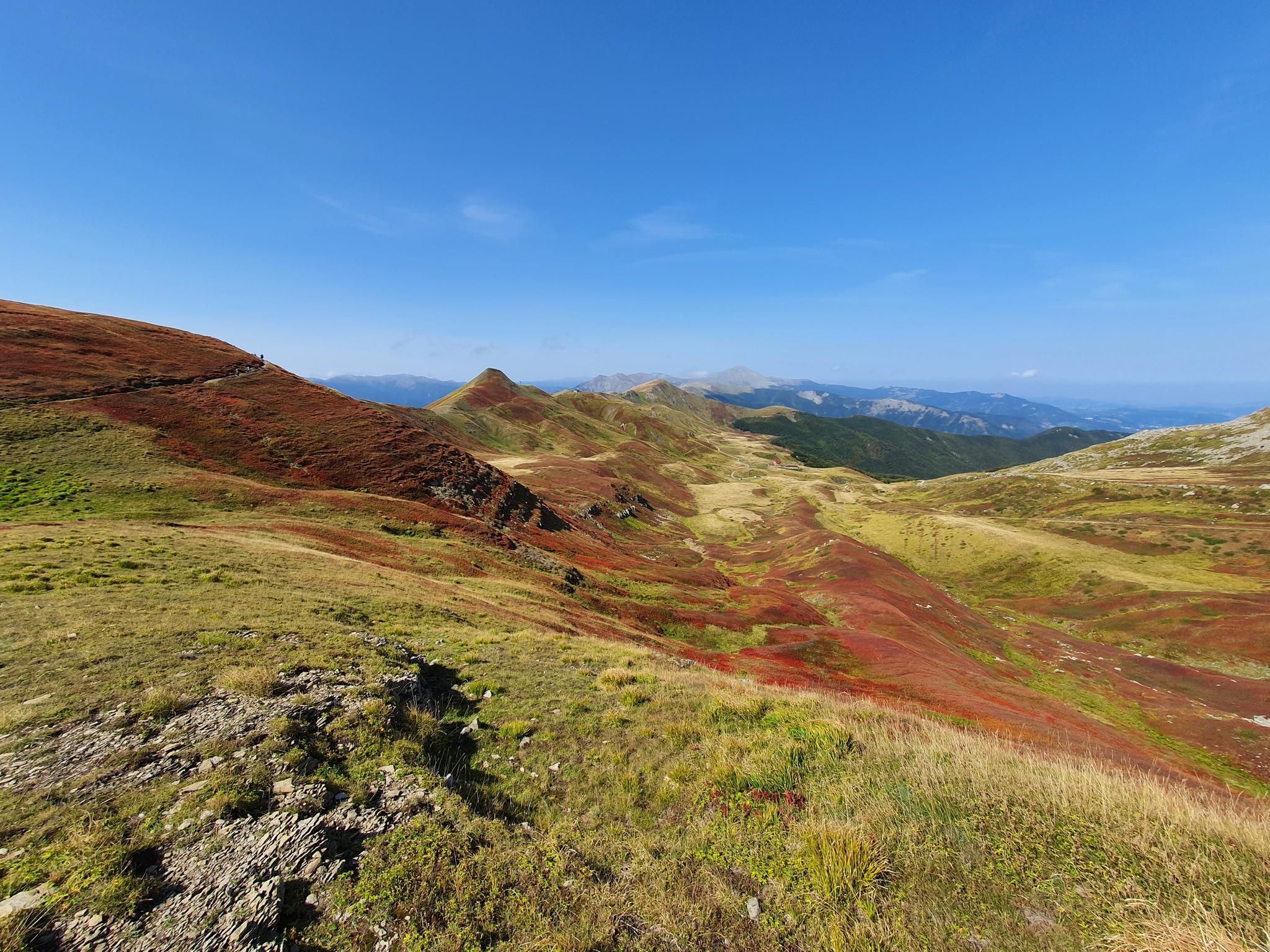
Abetone to Lake Brasimone – Alta Via dei Parchi (part 2)
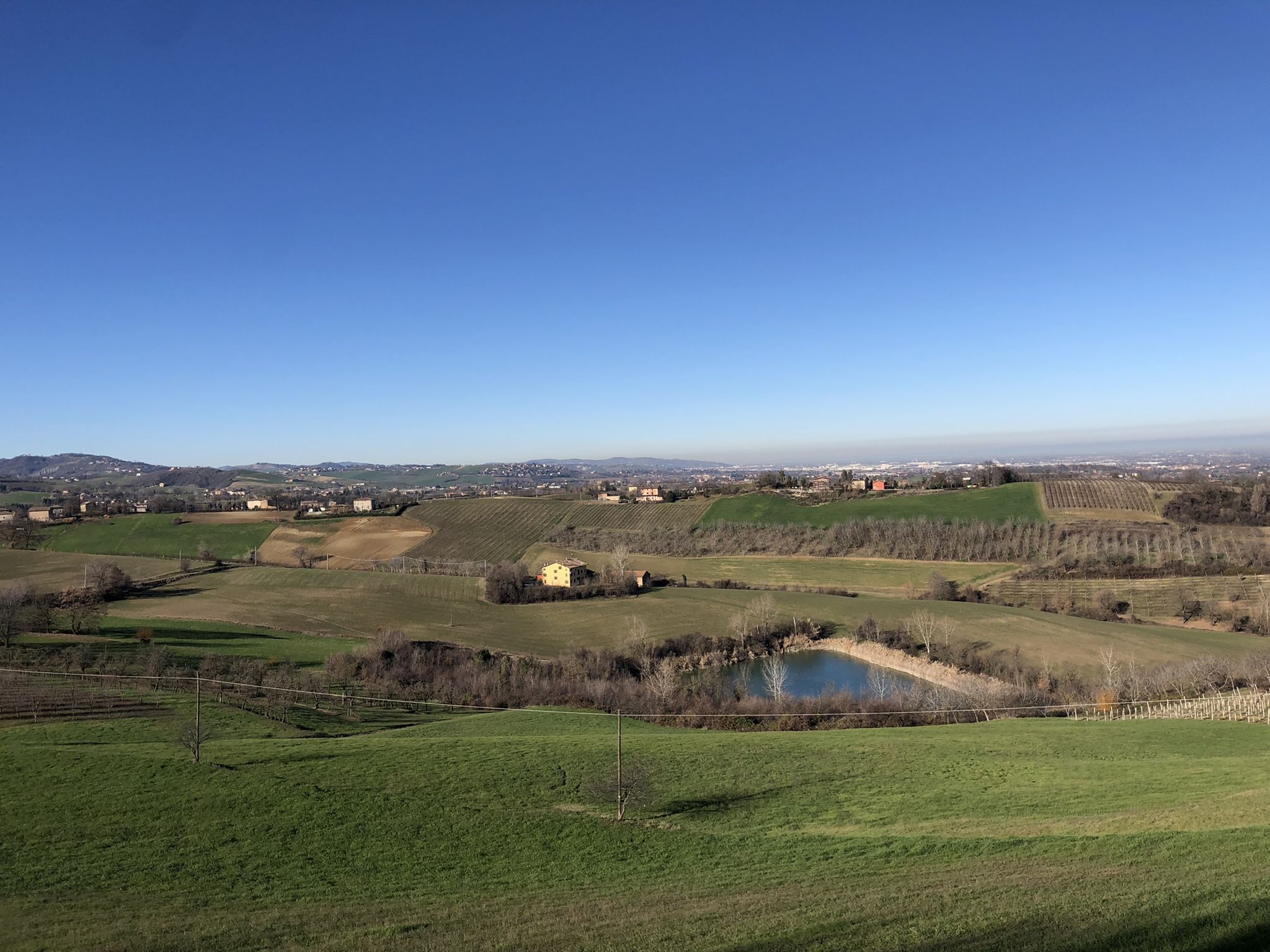
Walking in the Modena area – Via Romea Nonantolana
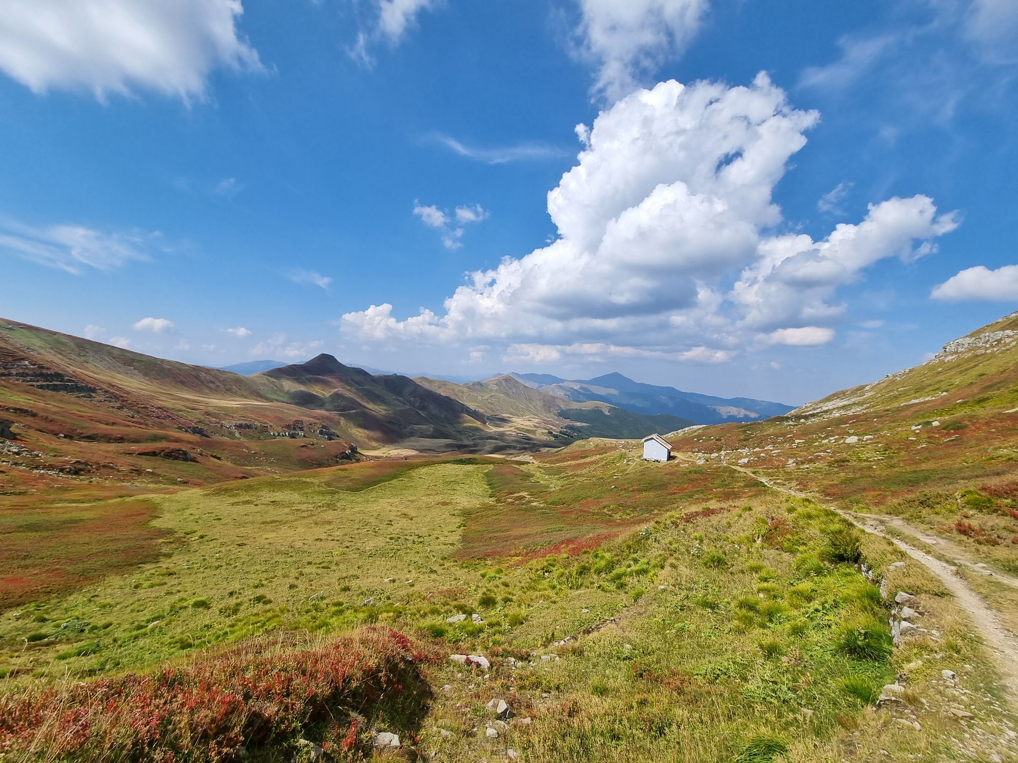
Three days of trails between Cimone and Corno alle Scale
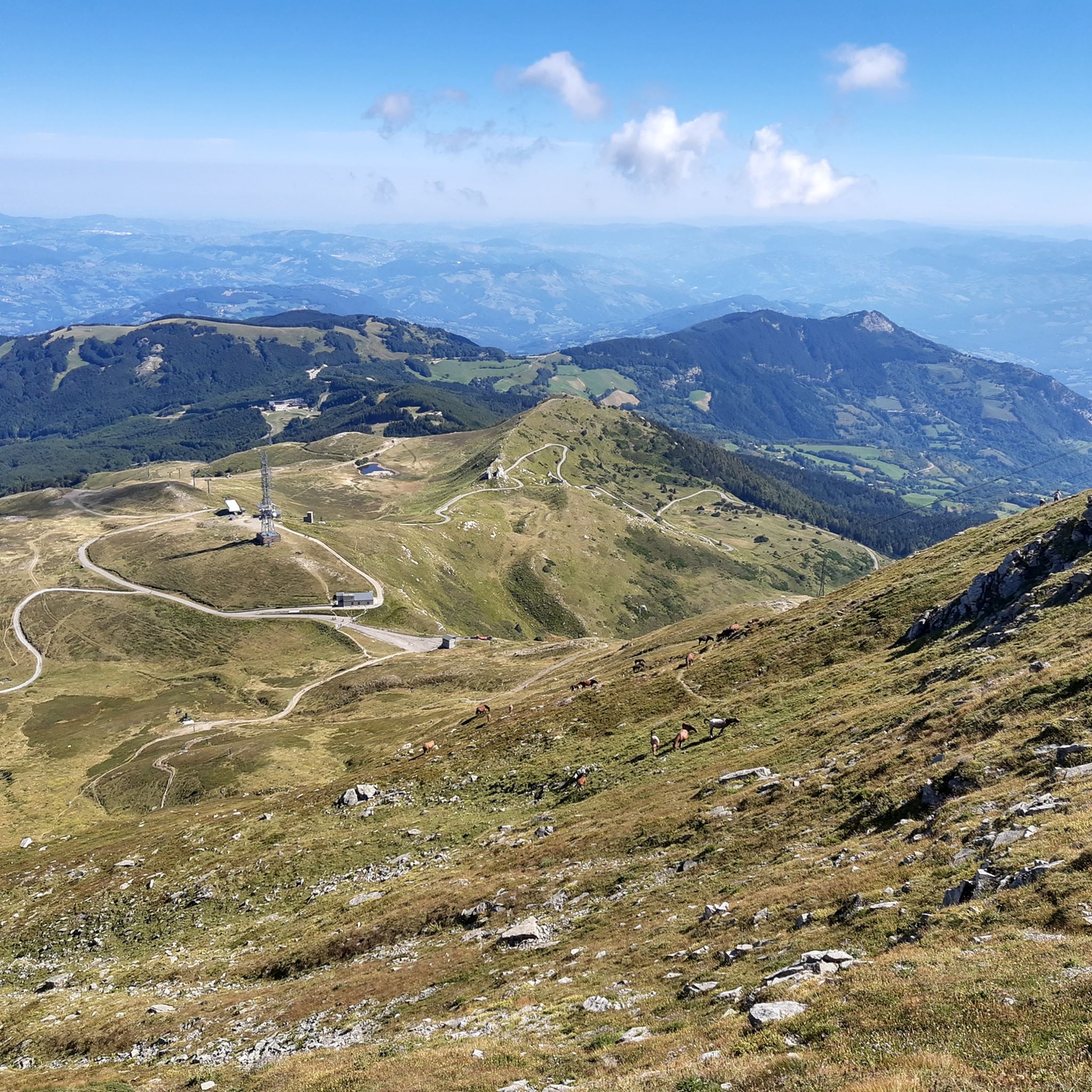
Hiking around Fanano
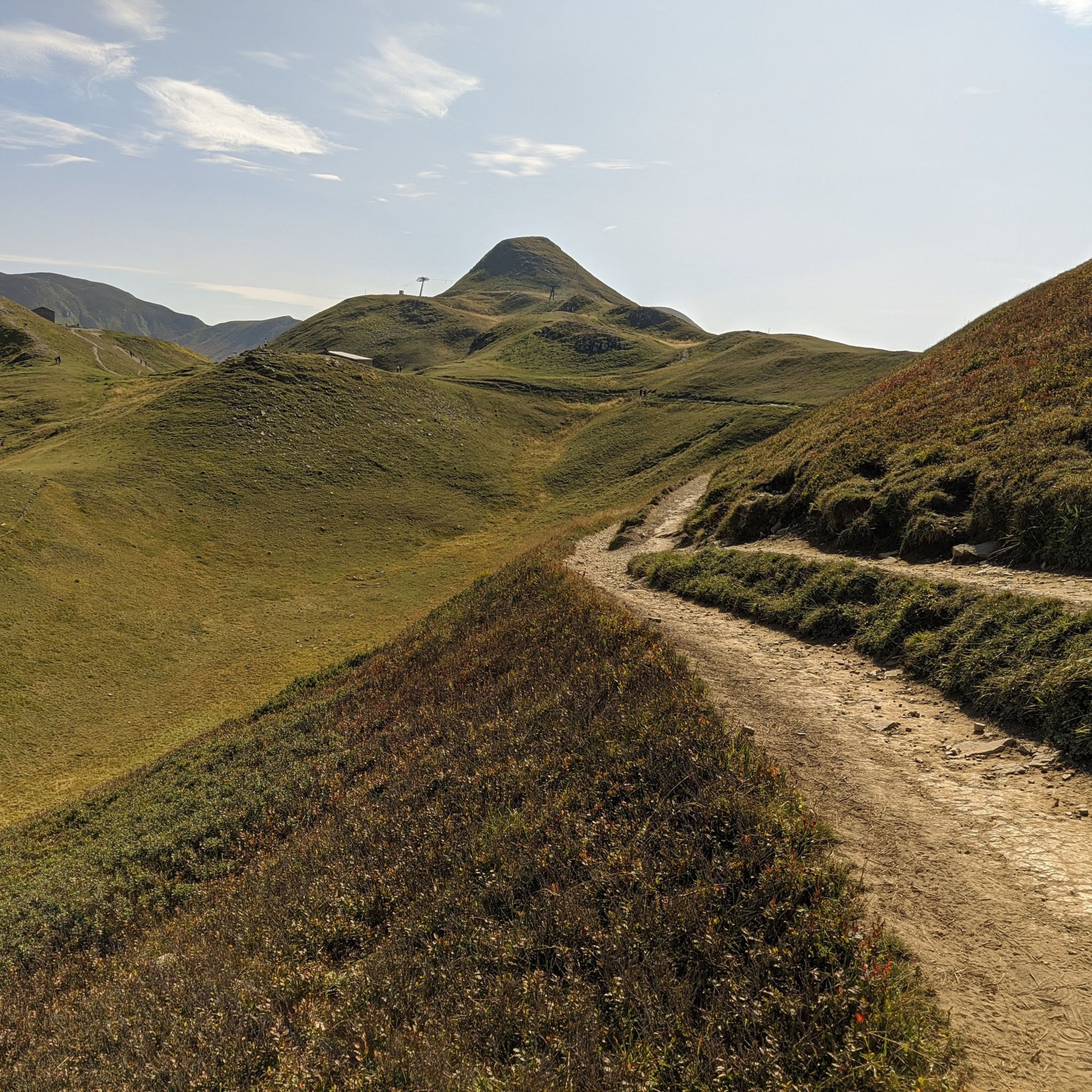
MTB Trails around Fanano
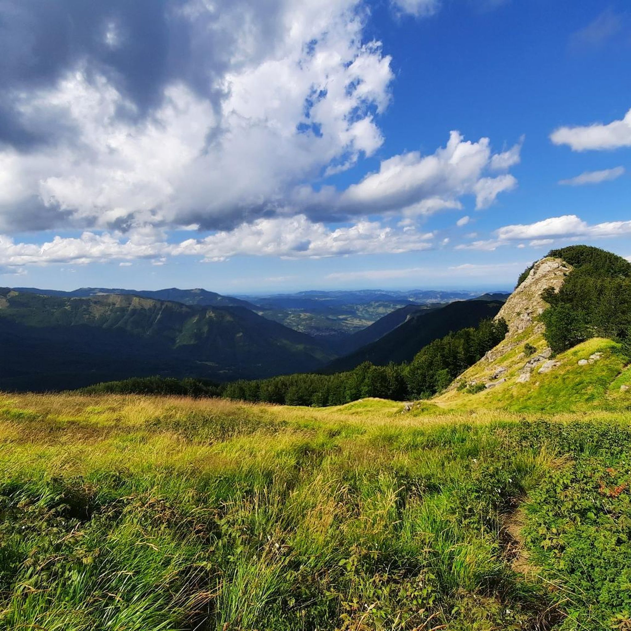
Cycling around Fanano
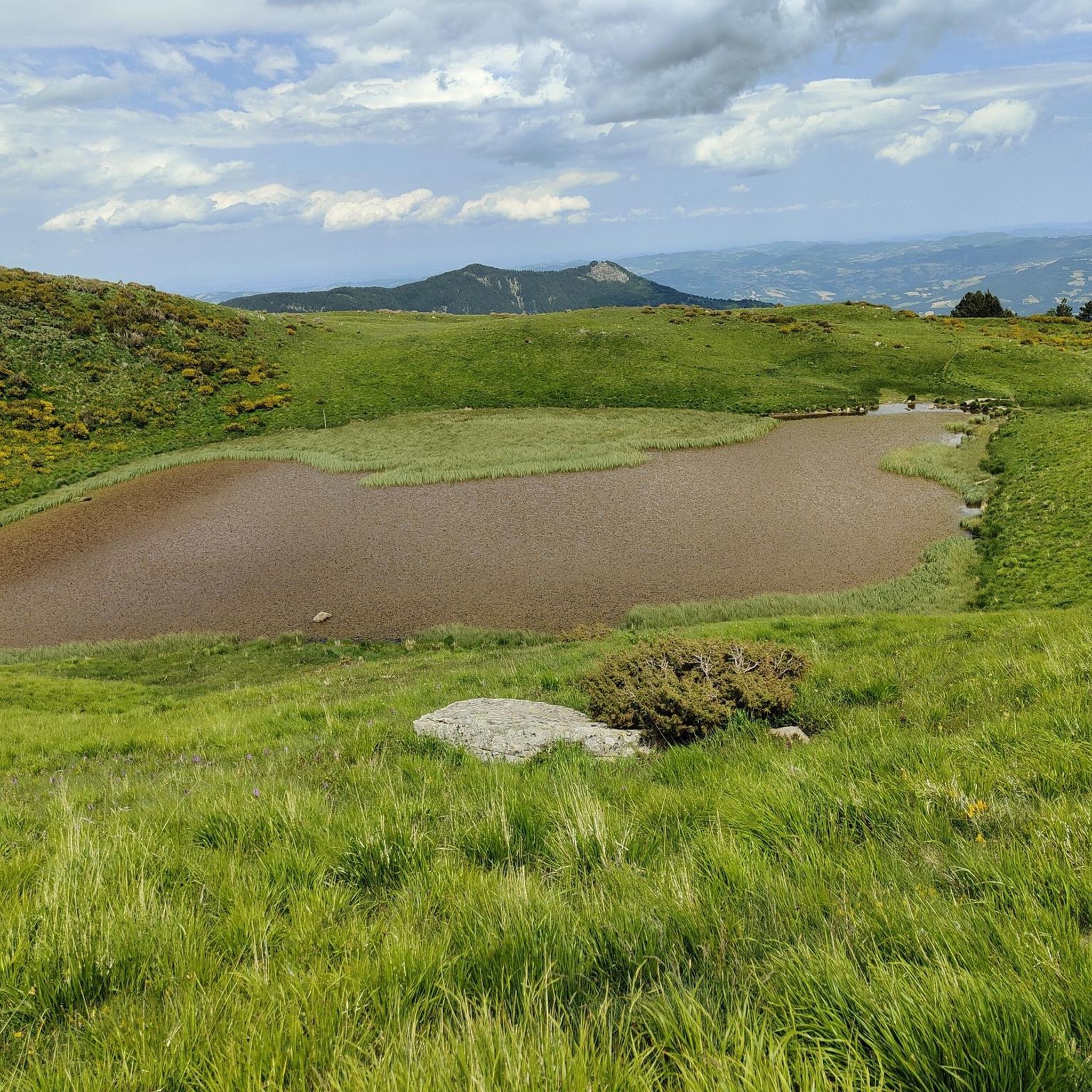
Running Trails around Fanano
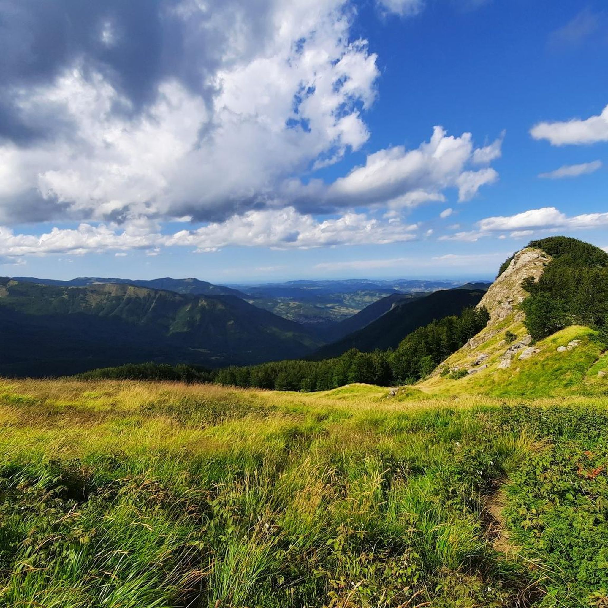
Road Cycling Routes around Fanano

Gravel biking around Fanano
Other adventures around Fanano


Tips from the Community

In summer, Balzi dell'Ora is a challenging CAI trail due to its exposure and some technical sections. In winter, with snow and ice, it's a winter mountaineering route that, depending on snow conditions, could be quite respectable. I climbed it alone with two ice axes and crampons. If you're climbing as a team in the conditions I encountered, I think sure-footedness and experience are essential, as there are many traverses and ridge sections with sparse protection, and you'll obviously need adequate winter mountaineering gear. In any case, it's a beautiful climb with magnificent views and a very rewarding experience.
0
0
In winter, with the right snow conditions, the Punta Sofia cross is a popular destination, ascending from the Balzi dell'Ora or the north gullies, or from the east face (a more complicated option). In other seasons, it's a beautiful hike along the various CAI trails. On clear days, you can admire a breathtaking view.
0
0
In winter, the second gully (starting from the left) has the steepest exit, 60/70 degrees, depending on the snow. I recommend tackling it with two ice axes. If you're climbing in a roped-up rock, about 60 meters from the gully exit, there's a bolt on the right that's useful for a belay. Another bolt is located at the gully exit, but it's often covered by the ship. It's obviously a good idea to check the snow conditions and equip yourself with the appropriate winter mountaineering gear.
0
0

The summit of Mount Cupolino behind Lake Scaffaiolo
0
0

Mount Cimone! the panettone! with its 2165 meters it is the highest peak of the northern Apennines. Iconic point of arrival and special panoramic point as it is unique in Italy for this characteristic (from its summit it is possible to observe, on the clearest days, the largest land surface of the Italian territory, from the Gran Sasso Apennines to the Alpine mountain range)
0
0

Really nice emotions during the ascent 🫶🏼😃
0
0

A well-marked hiking trail (No. 331) leads from the Madonna dell'Acero Sanctuary through shady beech forests directly to the waterfalls. Along the way, several viewpoints await you with magnificent views of the surrounding countryside and the roaring water.
43
1
The Dardagna Waterfalls consist of several impressive cascades with a total height of approximately 200 meters. The highest single fall, at approximately 30 meters, is particularly worth seeing. They are among the most beautiful waterfalls in the Emilia-Romagna Apennines.
51
0
Frequently Asked Questions
What are the typical difficulty levels for mountaineering routes around Fanano?
Mountaineering around Fanano offers a range of difficulties. You'll find several moderate routes, ideal for those with some experience, as well as a good selection of difficult trails for more seasoned mountaineers seeking a challenge. For example, the Lago della Risaia – Monte Rotondo loop from Abetone is a moderate option, while the Punta Sofia loop from Corno alle Scale presents a difficult ascent.
What kind of distances and elevations can I expect on Fanano's mountaineering trails?
The mountaineering routes around Fanano vary significantly. You can find shorter, more intense climbs like the Punta Sofia loop, which covers about 2.9 miles (4.7 km) with over 460 meters of elevation gain. Longer routes, such as the Rio Piano Valley – Sofia Peak loop, stretch over 8 miles (13.3 km) with more than 740 meters of ascent, offering extended challenges.
Are there any circular mountaineering routes in Fanano?
Yes, many of the mountaineering routes around Fanano are designed as loops, allowing you to start and finish at the same point. Examples include the popular Lago della Risaia – Monte Rotondo loop from Abetone and the challenging Climb to Monte Cimone – Monte Cimone Summit loop from Doccia del Cimone.
What is the best time of year for mountaineering in Fanano?
The best time for mountaineering in Fanano is typically from late spring through early autumn (May to October). During these months, the weather is generally more stable, and trails are clear of snow at lower to mid-altitudes. Higher peaks like Monte Cimone are best tackled in summer when conditions are most favorable.
Are there any specific landmarks or natural attractions to see along the mountaineering routes?
Absolutely! The routes often pass by significant natural and historical points. You can explore beautiful alpine lakes such as Lake of the Nymph or Lago Santo Modenese. Some trails also lead near historical sites like the World War II Memorial at Croce Arcana.
What do other mountaineers enjoy most about the routes in Fanano?
The mountaineering routes in Fanano are highly rated by the komoot community, with an average score of 4.8 stars from 9 reviews. Mountaineers often praise the diverse terrain, from forested valleys to challenging rocky summits, and the stunning views of the Apennine mountains and serene alpine lakes.
Are there any routes that feature lakes or water bodies?
Yes, several mountaineering routes in the Fanano area incorporate beautiful lakes. For instance, the Lago il Terzo – Lago della Ninfa loop from Parcheggio Camper offers views of both Lago il Terzo and the picturesque Lake of the Nymph. The region is known for its alpine lakes, providing scenic spots along your journey.
Is parking generally available near the trailheads for mountaineering routes in Fanano?
Parking availability can vary by trailhead. Many popular starting points, especially those near ski resorts or villages like Abetone or Corno alle Scale, typically have designated parking areas. For example, the Lago il Terzo – Lago della Ninfa loop starts from a location named 'Parcheggio Camper', indicating specific parking facilities.
Can I reach the mountaineering trailheads around Fanano using public transport?
While some larger towns in the Apennines have bus services, direct public transport to all remote mountaineering trailheads can be limited. It's advisable to check local bus schedules for routes connecting Fanano to key starting points like Abetone or Corno alle Scale, especially during peak season. For more flexibility, a car is often recommended.
Are there any less-known or 'hidden gem' mountaineering routes in the Fanano area?
While the guide highlights popular routes, the broader Apennine region around Fanano is rich with trails. Exploring paths that diverge from the main summits can lead to quieter, equally rewarding experiences. Look for routes that traverse less frequented valleys or connect smaller mountain passes, offering a sense of discovery away from the crowds.
What should I consider for winter mountaineering in Fanano?
Winter mountaineering in Fanano, particularly on higher peaks like Monte Cimone, requires specialized equipment and experience due to snow, ice, and rapidly changing weather conditions. Trails can become impassable or require snowshoes/crampons. It's crucial to check avalanche forecasts and local conditions before attempting any winter ascents.
Most popular attractions around Fanano

Get inspired with the komoot mobile app


Explore more
Browse the best Mountain Hikes & Routes in other regions.
