The best walks and hikes around Braone
4.4
(1847)
13,055
hikers
394
hikes
Hiking around Braone, nestled in Val Camonica, offers access to a diverse mountainous environment characterized by alpine peaks, glacial valleys, and serene lakes. The region features dramatic elevations, with trails traversing through areas like Valfredda and near the Crocedomini Pass. This landscape provides varied terrain, from high mountain paths to routes around alpine lakes, catering to different hiking experiences.
Best hiking trails around Braone
- The most popular hiking route is Alta Via dell'Adamello from Rifugio Tita Secchi to Rifugio Maria…
Last updated: August 20, 2026
5.0
(1)
20
hikers
20.9km
09:42
1,250m
1,250m
Hard hike. Very good fitness required. Sure-footedness, sturdy shoes and alpine experience required.
2
hikers
Moderate hike. Good fitness required. Mostly accessible paths. Sure-footedness required.

Sign up for free
5.48km
02:28
340m
350m
Hard hike. Good fitness required. Sure-footedness, sturdy shoes and alpine experience required.
4.2
(9)
46
hikers
18.9km
09:54
1,610m
1,610m
Hard hike. Very good fitness required. Sure-footedness, sturdy shoes and alpine experience required.
4.0
(2)
45
hikers
12.4km
06:56
1,370m
1,360m
Hard hike. Very good fitness required. Sure-footedness, sturdy shoes and alpine experience required.
Get access to more routes and recommendations from other explorers.
Sign up for free
Already have an account?
Our route recommendations are based on thousands of hikes, rides, and runs completed by other people on komoot.
Start today with a free account
Your next adventure awaits.
Login or Signup
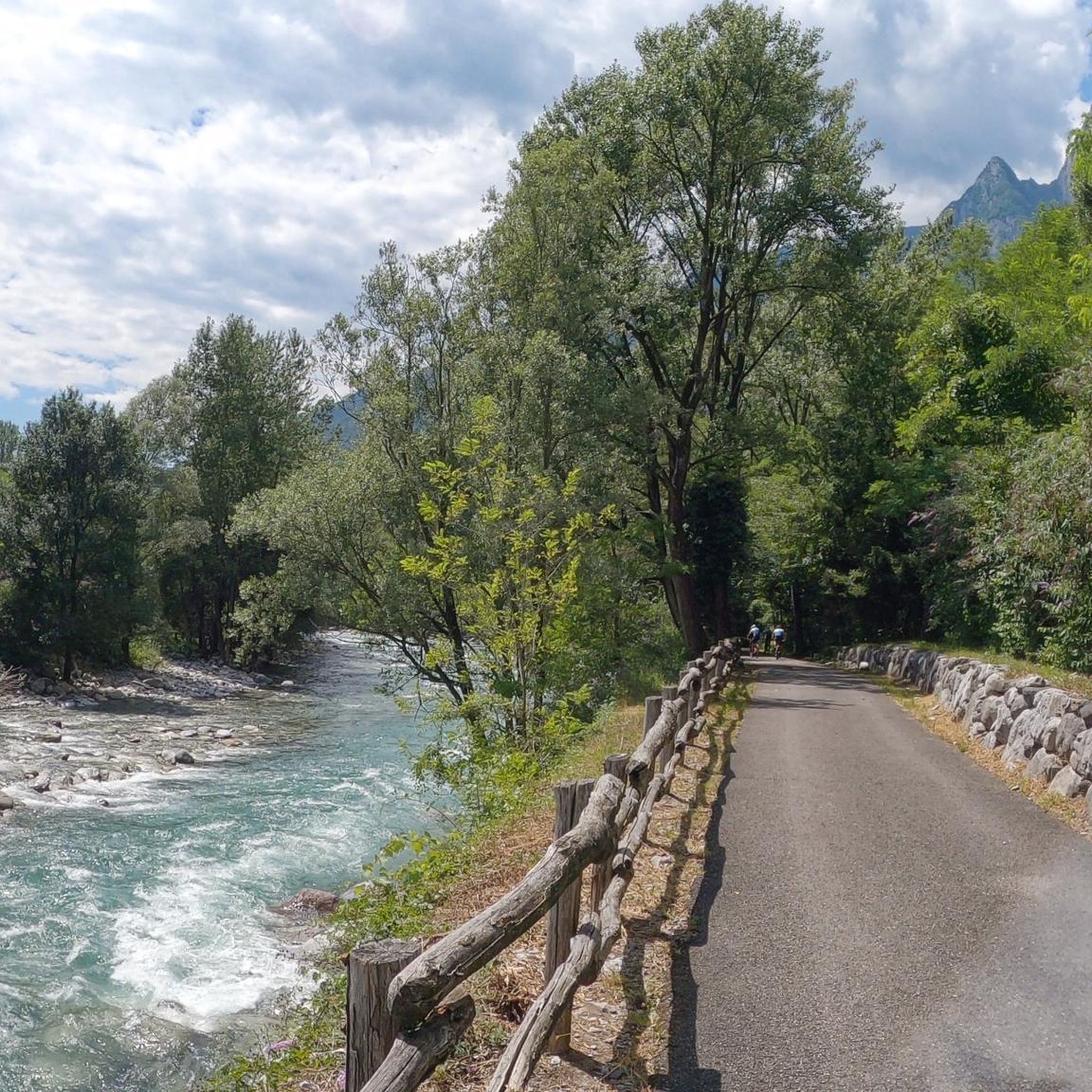
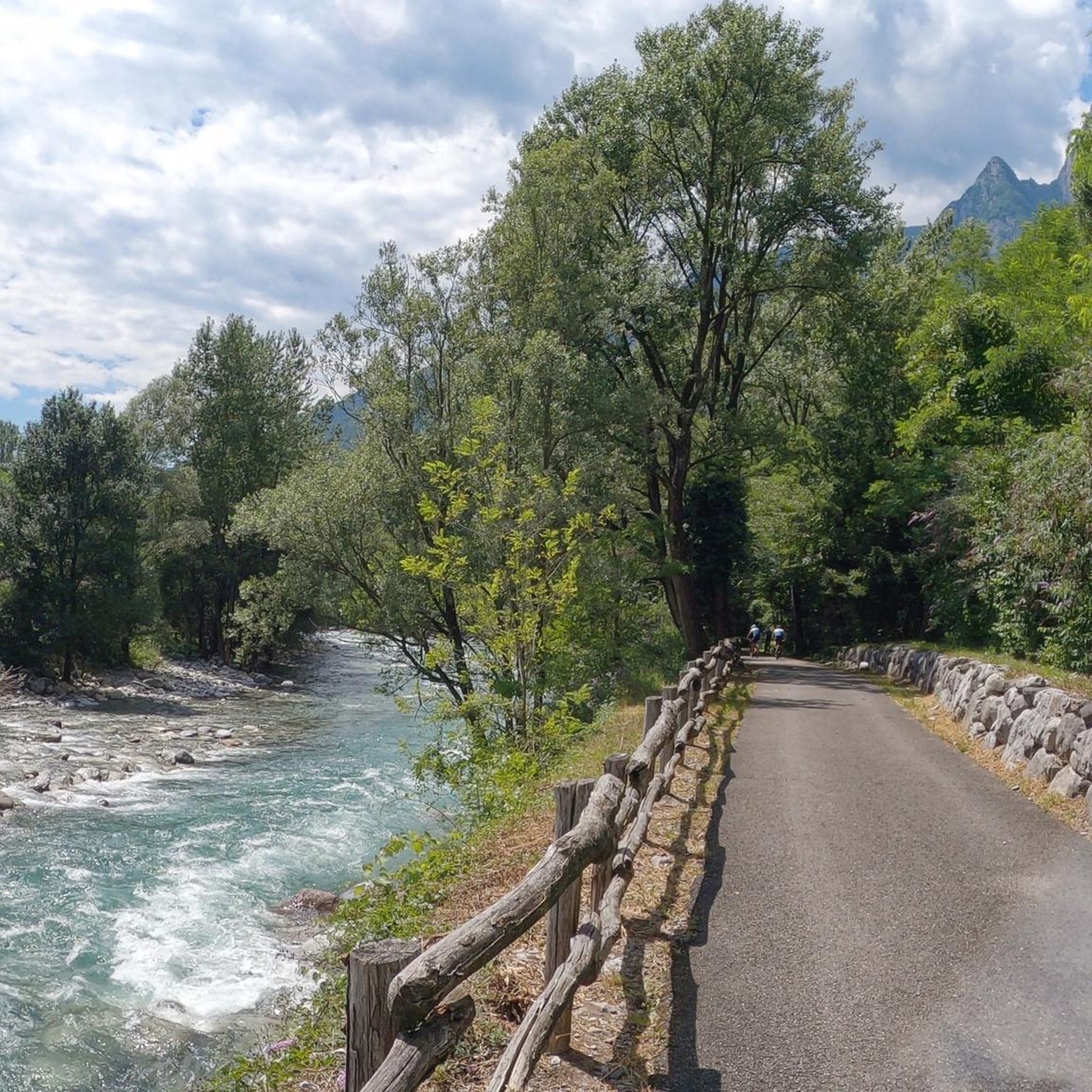
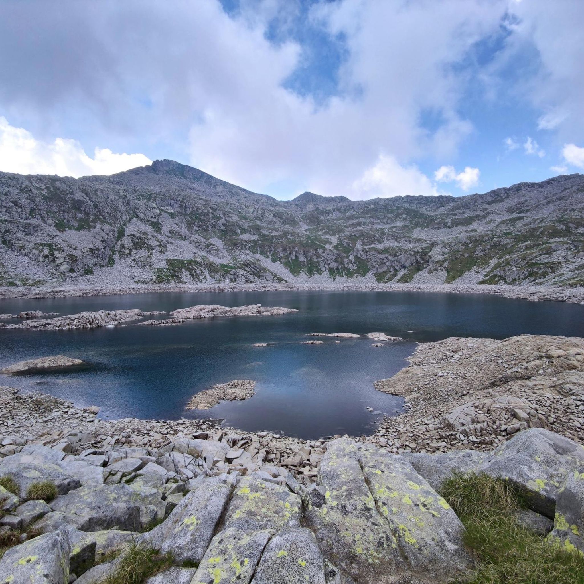

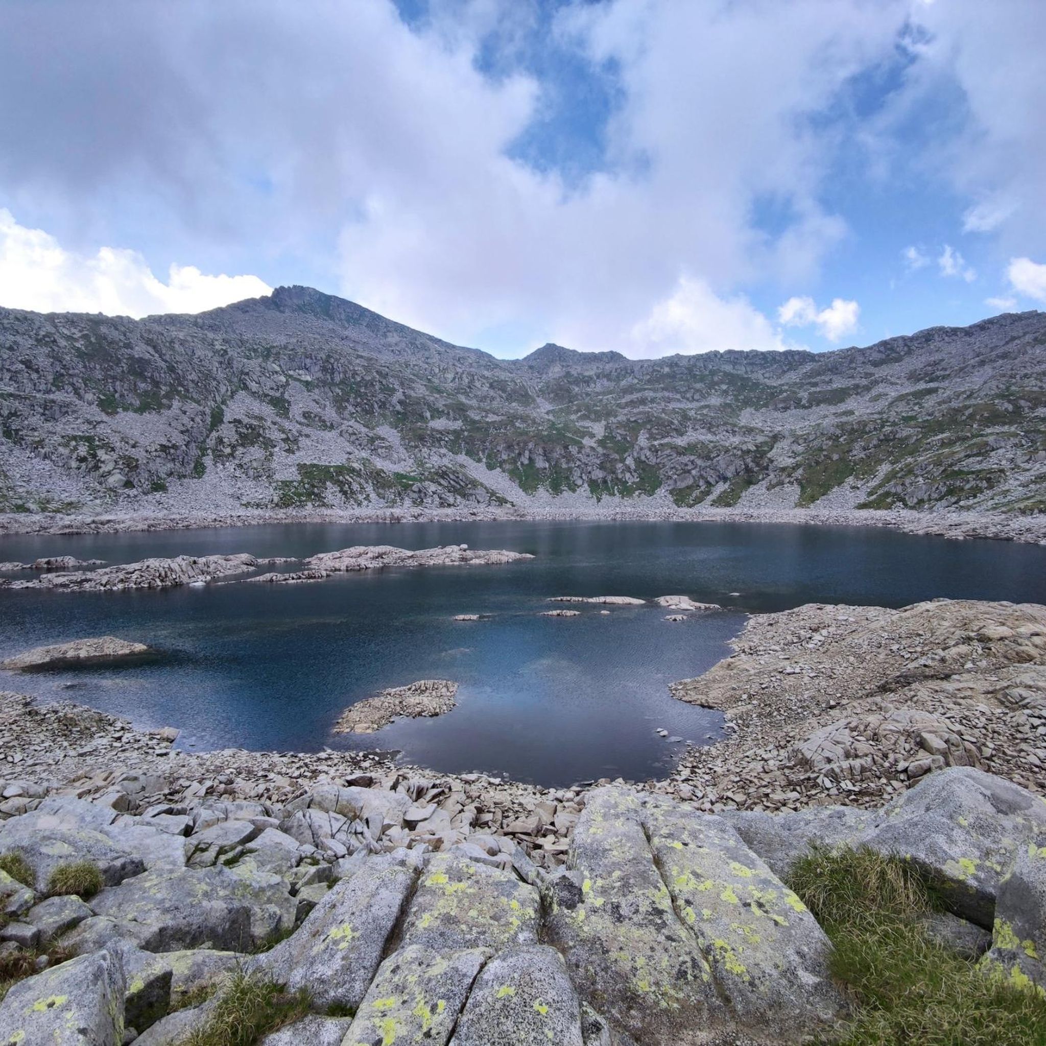
Tips from the Community

Stunning lake reachable with an easy walk from the Tassara refuge where you can park
0
0

Wonderful pass in the Adamello Park with a view of the Monte Frerone and Cornone di Blumone complex. The trail to reach it from Rifugio Bazena is simple, with no technical sections.
0
0

Lago della Vacca is one of the most iconic places in the Adamello: an artificial basin at 2358 m set in a glacial hollow, dominated by the Cornone di Blumone and flanked by the Rifugio Tita Secchi. It is an absolute classic for those who love high altitudes.
0
0
The Passo di Val Fredda is one of the most important passes in the Adamello on the route from Bazena to Passo della Vacca and Rifugio Tita Secchi.
0
0
The Rifugio Tita Secchi is one of the most spectacular refuges in the Adamello, directly overlooking the Lago della Vacca and at the foot of the south face of the Cornone di Blumone. 🏔️ Refuge identity Altitude: 2367 m a.s.l. Municipality: Breno (Val Camonica) Location: Lago della Vacca locality, 25043 Breno BS Coordinates: 45.9526805 N, 10.4427384 E Phone: 0365 903001 (active June–September) Management: Alessandra Serina Beds: 60; winter room: 6 beds
0
0

Passo di Val Fredda is an alpine pass located at an altitude of 2,329 meters, on the border between the province of Brescia and that of Trento, in the heart of the Adamello group. This passage connects the Valle di Bazena with the wild Val Fredda, offering one of the most evocative landscapes in the Adamello Park. The trail that crosses it, part of the famous Sentiero n. 1 dell'Alta Via dell'Adamello, winds through spectacular granite outcrops and high-altitude meadows that host rare blooms in summer. A place of great historical importance, it still preserves traces of mule tracks and artifacts dating back to the First World War, testifying to the strategic importance these peaks held during the conflict.
0
0

Fantastic place just a few km walk away, excellent starting point for various excursions
0
0

Frequently Asked Questions
How many hiking trails are available around Braone?
Braone offers a wide range of hiking opportunities, with over 375 routes recorded in the area. These trails cater to various preferences, from easier walks to challenging alpine expeditions.
What kind of terrain and difficulty levels can I expect on hikes near Braone?
The terrain around Braone is diverse, characterized by alpine peaks, glacial valleys, and serene lakes. You'll find a mix of paths, from high mountain routes with significant elevation changes to more moderate trails. There are 67 easy routes, 180 moderate routes, and 128 difficult routes, ensuring options for all skill levels.
Are there any family-friendly hiking trails in Braone?
While many routes in Braone are challenging, there are easier options suitable for families. For instance, paths around Lake Lova offer a serene atmosphere and scenic alpine landscape, which can be enjoyed by families. Look for routes categorized as 'easy' in the area for suitable options.
Can I bring my dog on the hiking trails around Braone?
Many trails in the Braone area are dog-friendly, but it's always recommended to keep your dog on a leash, especially in protected areas or where wildlife is present. Always check local regulations for specific trails, particularly those passing through nature reserves or near livestock.
Are there any circular hiking routes near Braone?
Yes, Braone offers several circular routes for hikers. A notable option is the Rifugio Gheza loop from Case Scalassone, which provides a rewarding experience through the mountainous environment surrounding the refuge.
What natural features or landmarks can I see while hiking in Braone?
The region boasts stunning natural features. You can explore the serene Lova Lake, a glacial lake above Borno, or traverse mountain passes like Campelli Pass and Passo Crocedomini, which offer panoramic views. The Valfredda area also provides stunning scenic views with its peaks.
Are there any waterfalls to visit on hikes near Braone?
Yes, hikers can discover the beautiful cascata del Salt De Rebet (waterfall of Salt De Rebet) via a dedicated path. This adds a refreshing and picturesque element to your outdoor adventures in the region.
What is the best time of year to go hiking in Braone?
The best time for hiking in Braone is generally from late spring to early autumn (May to October) when the weather is milder and trails are clear of snow. During colder months, areas like the Campelli Pass are popular for ski mountaineering and snow excursions, offering a different kind of outdoor experience.
Is parking available at the trailheads around Braone?
Parking availability varies by trailhead. Many popular starting points for hikes, especially those leading to refuges or significant natural attractions, will have designated parking areas. It's advisable to research specific trailheads in advance for detailed parking information.
How can I reach the hiking areas around Braone using public transport?
Public transport options to reach hiking areas around Braone may be limited, especially for more remote trailheads. Braone itself is accessible by local bus services within Val Camonica. For specific routes, it's recommended to check local bus schedules and plan your journey to the nearest accessible point, potentially requiring a short taxi ride or walk to the trailhead.
What do other hikers enjoy most about hiking in Braone?
The area is highly rated by the komoot community, with an average score of 4.5 stars from over 1,400 reviews. Reviewers often praise the stunning alpine landscapes, the diversity of trails catering to different abilities, and the rewarding experiences found on routes like the Monsignor Giovanni Antonioli Trail leading to glacial lakes.
Are there any long-distance hiking trails that pass through or near Braone?
Yes, the challenging Alta Via dell'Adamello is a prominent long-distance route in the vicinity of Braone, offering an extensive alpine trekking experience. The historical Charlemagne Path also traverses the area, blending natural beauty with cultural significance.
Most popular routes around Braone
Most popular attractions around Braone

Get inspired with the komoot mobile app


Explore more
Browse the best Hikes in other regions.
