The best walks and hikes around Brandico
4.3
(117)
750
hikers
65
hikes
Hiking around Brandico features a predominantly flat landscape, characterized by extensive agricultural fields and a network of quiet country roads. The region offers accessible trails, often passing through rural villages and alongside small water bodies. Elevation changes are minimal, making the area suitable for leisurely walks.
Best hiking trails around Brandico
- The most popular hiking route is Hiking loop from Offlaga, a 3.2 miles (5.2 km) trail that takes 1 hour 18 minutes to complete, passing through agricultural fields…
Last updated: October 4, 2026
4.0
(1)
15
hikers
11.5km
02:55
20m
20m
Moderate hike. Good fitness required. Easily-accessible paths. Suitable for all skill levels.
3.3
(3)
8
hikers
7.66km
01:56
10m
10m
Easy hike. Great for any fitness level. Easily-accessible paths. Suitable for all skill levels.

8
hikers
6.04km
01:32
10m
10m
Easy hike. Great for any fitness level. Easily-accessible paths. Suitable for all skill levels.
7
hikers
5.85km
01:31
40m
40m
Easy hike. Great for any fitness level. Easily-accessible paths. Suitable for all skill levels.
5.0
(1)
3
hikers
7.06km
01:47
10m
10m
Easy hike. Great for any fitness level. Easily-accessible paths. Suitable for all skill levels.
Get access to more routes and recommendations from other explorers.
Already have an account?
Our route recommendations are based on thousands of hikes, rides, and runs completed by other people on komoot.
Start today with a free account
Your next adventure awaits.

Tips from the Community


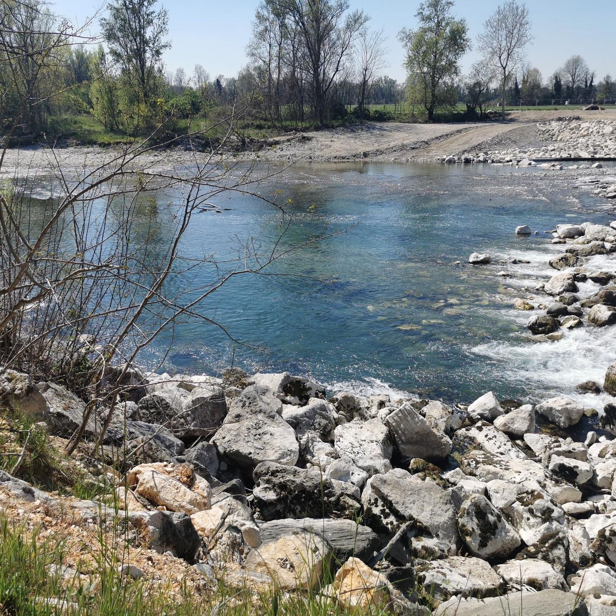
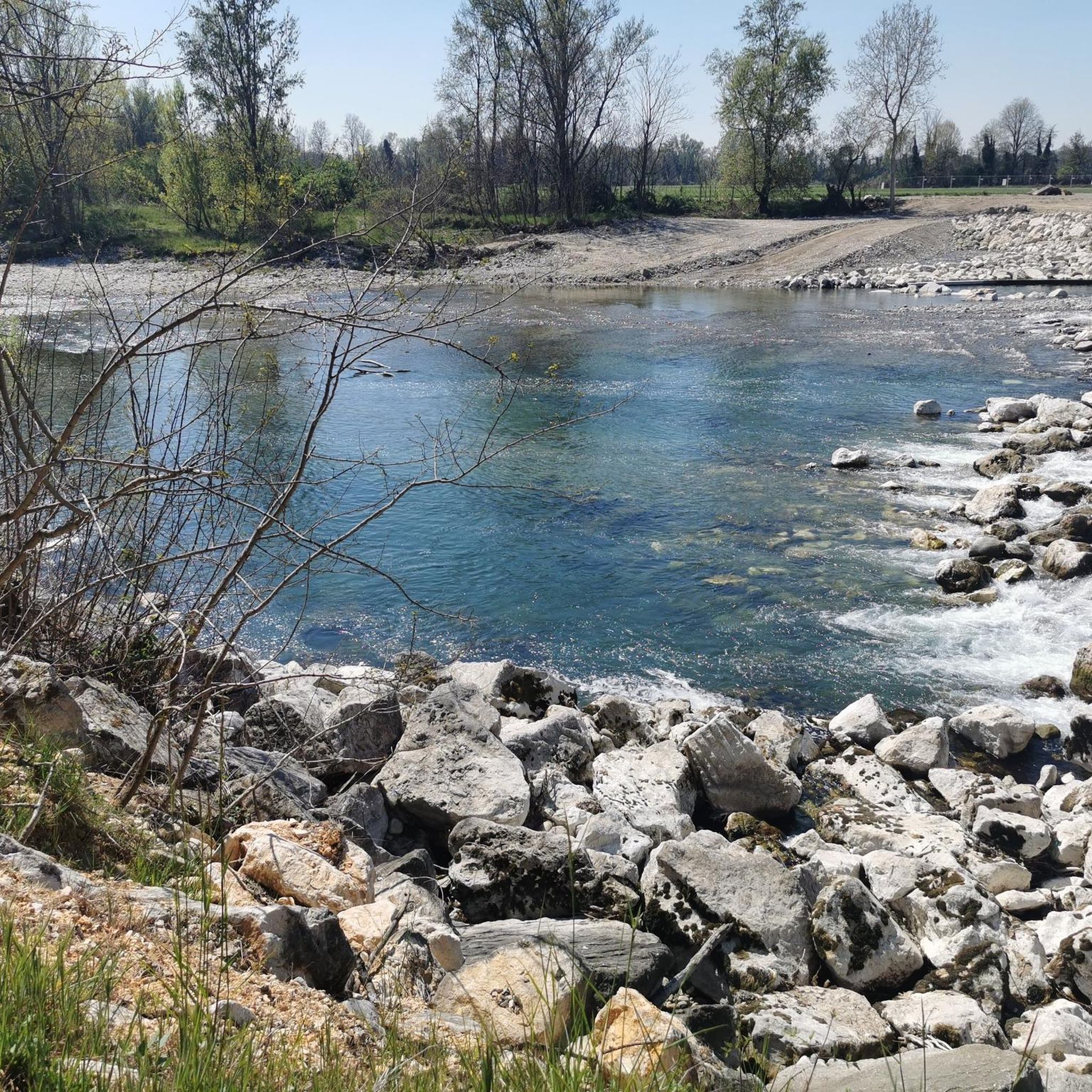
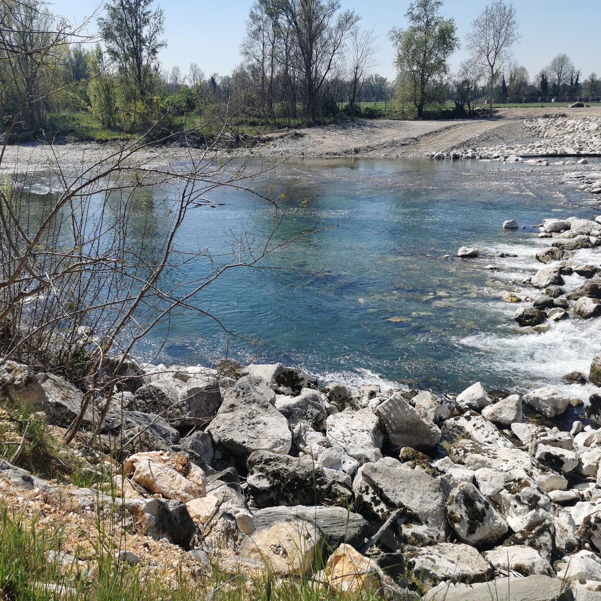
Nice stretch of path along the mella, often frequented by fishermen. Easily passable on gravel.
0
0

In Pontegatello, a hamlet of Azzano Mella, a splendid little church dedicated to the Madonna della Formica is of great charm and has the first hills of Brescia as its backdrop. It can be reached via a short gravel road that connects it to the country road that connects Azzano Mella and Torbole Casaglia.
3
0

Frequently Asked Questions
How many hiking trails are available around Brandico?
There are over 30 hiking routes available around Brandico, offering a variety of options for different preferences. The majority, 19 routes, are classified as easy, while 11 are moderate, making the area accessible for most hikers.
What is the terrain like for hiking in Brandico?
The terrain around Brandico is predominantly flat, characterized by extensive agricultural fields and a network of quiet country roads. Elevation changes are minimal, making the area ideal for leisurely walks and easygoing hikes.
Are there easy hiking options for beginners in Brandico?
Yes, Brandico is very suitable for beginners. Most of the trails are classified as easy, with minimal elevation gain. A great option for an easy start is the Hiking loop from Offlaga, which is 3.2 miles (5.2 km) long and takes about 1 hour 18 minutes to complete.
Are the trails around Brandico suitable for families with children?
Absolutely. The flat terrain and numerous easy, shorter routes make Brandico an excellent choice for families. Trails like the Laghetto di Scarpizzolo loop from San Paolo, which is 3.8 miles (6.2 km) and passes a small lake, are perfect for a family outing.
Can I bring my dog on the hiking trails in Brandico?
Generally, dogs are welcome on the rural paths and country roads around Brandico. However, it's always best to keep your dog on a leash, especially when passing through agricultural areas or near livestock, and to respect local regulations. Remember to carry water for your pet and clean up after them.
What kind of wildlife can I expect to see while hiking near Brandico?
Given the agricultural landscape and small water bodies, you might spot various bird species, small mammals like hares or foxes, and a variety of insects. The quiet country roads and fields offer a peaceful environment for observing local fauna.
Are there any historical sites or landmarks to see along the trails?
Yes, several routes connect to interesting historical sites. For example, the Osteria Aquila Rossa – Castello di Padernello loop from San Paolo will lead you past the historic Padernello Castle, offering a glimpse into the region's past.
Are there any trails that pass by water features?
Yes, some trails incorporate water features. The Laghetto di Scarpizzolo loop from San Paolo passes by a small lake. Additionally, you might encounter sections near the Towpath of the Mella River, offering pleasant waterside views.
What do other hikers say about the trails in Brandico?
The trails in Brandico are highly regarded by the komoot community, with an average rating of 4.4 stars from over 20 reviews. Hikers often praise the peaceful agricultural landscapes, the ease of the routes, and the opportunity to explore rural Italian villages.
What is the best time of year to hike in Brandico?
Spring and autumn are generally the most pleasant seasons for hiking in Brandico, offering mild temperatures and beautiful scenery as the agricultural fields change colors. Summer can be warm, but the flat terrain makes it manageable, especially during early mornings or late afternoons. Winter hikes are also possible, though paths might be muddy after rain.
Where can I find parking for hiking trails in Brandico?
Parking is typically available in or near the villages where many of the routes begin. For example, you can often find parking in Offlaga, San Paolo, or Dello, which serve as starting points for popular loops like the Dirt Road Through Le Cascine loop from Dello.
Are there any longer hiking options for more experienced hikers?
While many trails are easy, more experienced hikers can combine routes or choose moderate options for a longer outing. The Osteria Aquila Rossa – Castello di Padernello loop from San Paolo is a moderate 5.0-mile (8.0 km) path that connects historic sites and rural paths, offering a slightly longer challenge.
Most popular attractions around Brandico

Get inspired with the komoot mobile app


Explore more
Browse the best Hikes in other regions.
