The best mountain hikes around Carona
4.5
(13)
71
hikers
6
hikes
Mountaineering routes around Carona are set within the majestic Orobie Alps in Italy's Lombardy region, offering diverse natural features for outdoor enthusiasts. The terrain is characterized by rugged alpine environments, lush forests, and significant waterways including the Brembo River and several natural and artificial lakes. This area provides a challenging backdrop for mountaineering, with routes often featuring considerable altitude differences. It serves as a gateway to spectacular peaks and historic mountain huts.
Best mountaineering routes around Carona
- The most popular…
Last updated: July 4, 2026
4.3
(3)
24
hikers
12.2km
07:06
1,300m
1,310m
Hard mountaineering route. Very good fitness required. Sure-footedness, sturdy shoes and alpine experience required.
4.7
(3)
14
hikers
14.3km
06:18
1,000m
1,000m
Hard mountaineering route. Very good fitness required. Sure-footedness, sturdy shoes and alpine experience required.

Sign up for free
3.6
(5)
13
hikers
9.88km
04:48
920m
920m
Hard mountaineering route. Very good fitness required. Sure-footedness, sturdy shoes and alpine experience required.
5.0
(1)
6
hikers
16.7km
07:42
1,280m
1,280m
Hard mountaineering route. Very good fitness required. Sure-footedness, sturdy shoes and alpine experience required.
5.0
(1)
5
hikers
16.1km
08:06
1,320m
1,320m
Hard mountaineering route. Very good fitness required. Sure-footedness, sturdy shoes and alpine experience required.
Our route recommendations are based on thousands of hikes, rides, and runs completed by other people on komoot.
Start today with a free account
Your next adventure awaits.
Login or Signup
Popular around Carona
Eastern Orobie Path – a loop through Italy’s Orobie Mountains
Walking on water – lakes, rivers and waterfalls in the Bergamo valleys
Discover the Brembana Valley – 3 hikes from Carona
Hiking around Carona
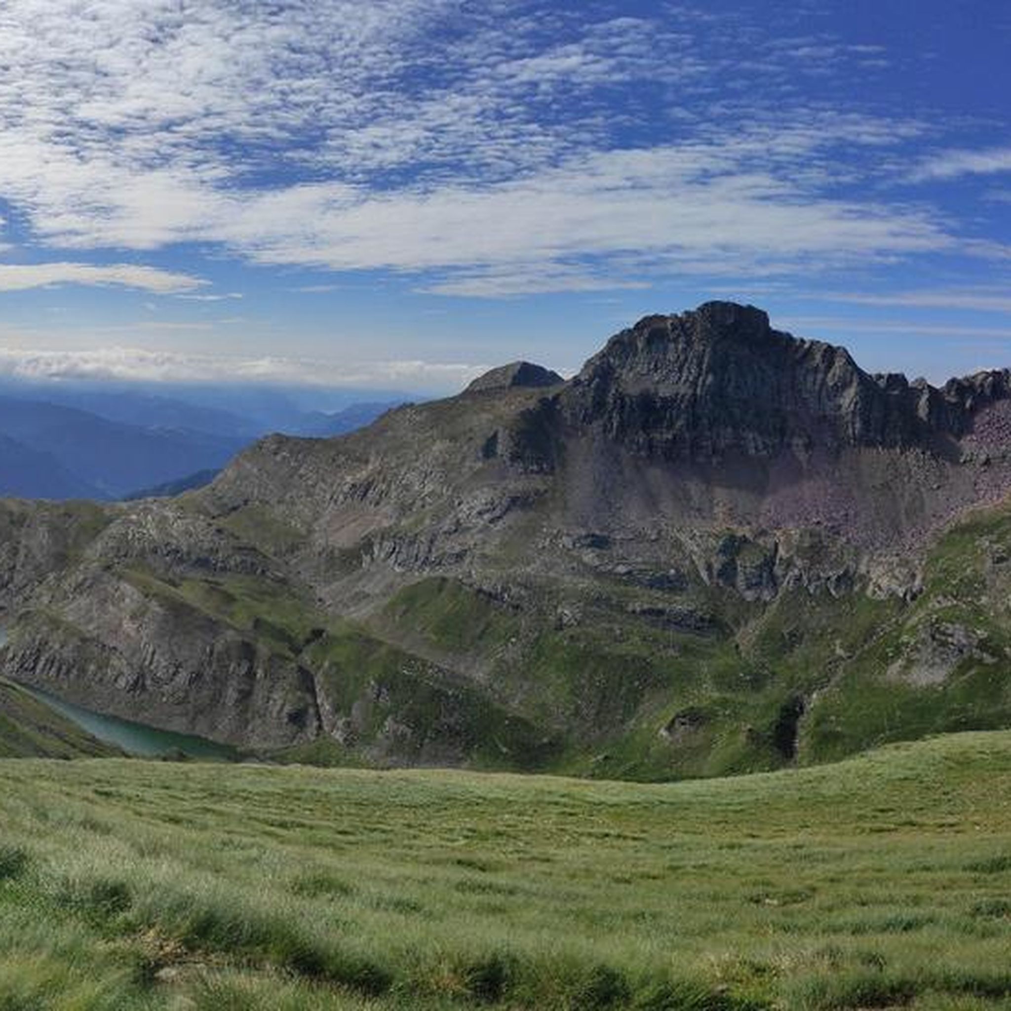
MTB Trails around Carona
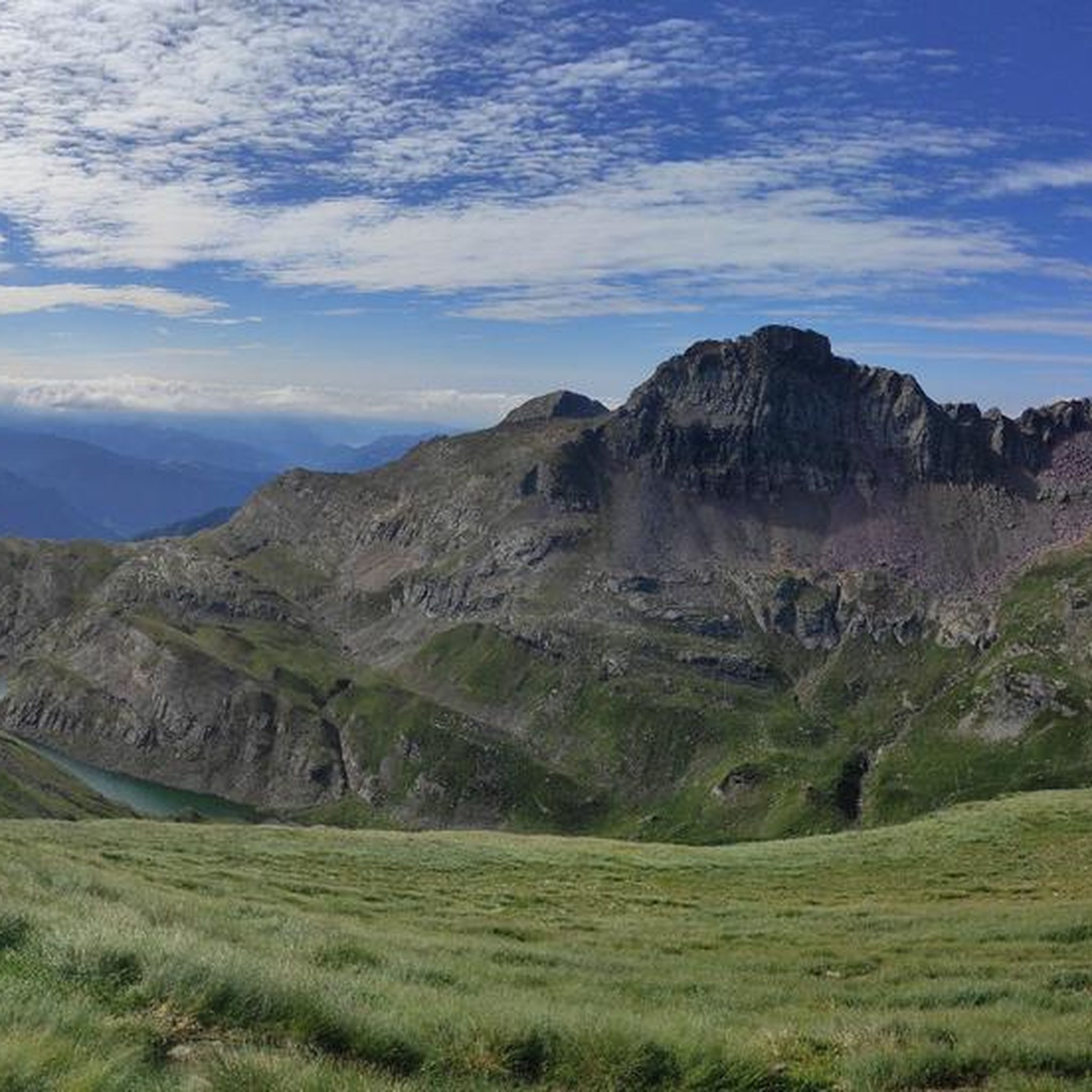
Road Cycling Routes around Carona
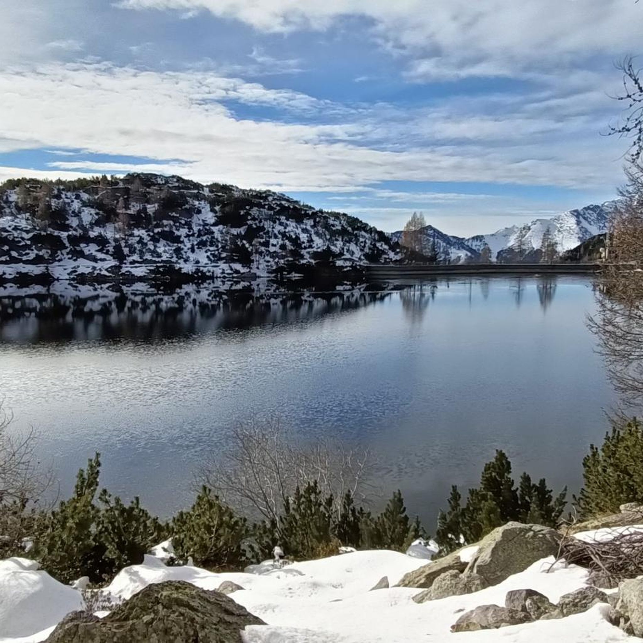
Running Trails around Carona
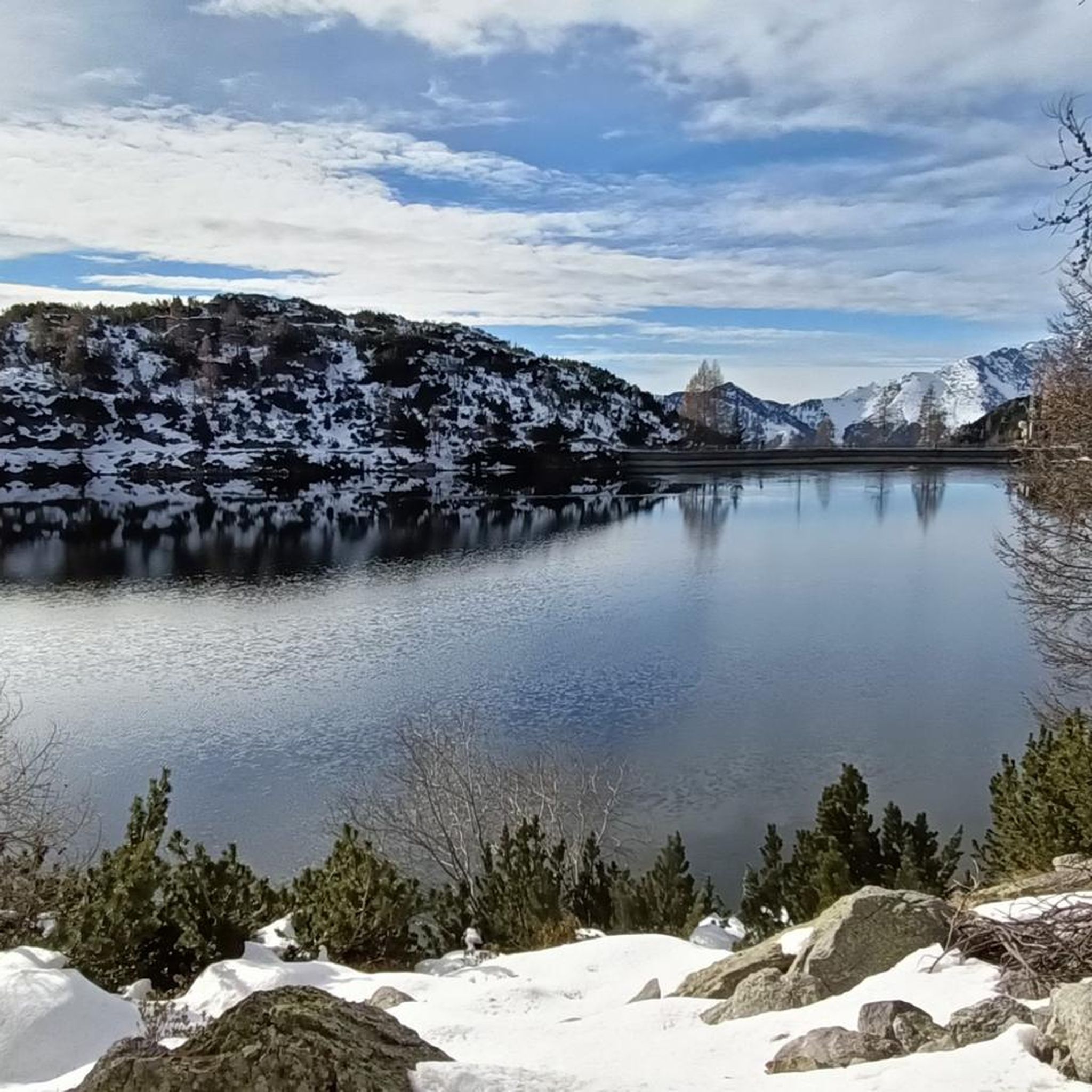
Cycling around Carona
Other adventures around Carona


Tips from the Community

beautiful view and a nice place to pass through for many tours
1
0

Monte Madonnino is a peak in the Orobie Alps, 2,502 meters high, located on the natural border between Val Brembana and Val Seriana. It owes its name to the small statue of the Madonna placed on the summit, an exceptional panoramic point from which you can admire giants such as Pizzo del Diavolo di Tenda and Monte Rosa.
0
0

The Chapel of San Carlo, located as you ascend from the Tezzi Alti of Gandellino toward the Sedornia Valley, is a small Alpine place of devotion dedicated to Saint Charles Borromeo, a saint widely venerated throughout Lombardy. Its origins are linked to popular tradition and the widespread presence of the Borromean cult in the Bergamo valleys, especially between the 17th and 18th centuries, when many rural communities erected chapels and votive stones to ask for protection from disease, famine, and natural disasters. The chapel is located along an ancient path connecting the Tezzi hamlets and the Sedornia pastures: a necessary passageway for shepherds, farmers, and travelers. For this reason, the local community chose to erect a small, simple, stone sacred building here as a sign of protection for those tackling the climb to the mountain pastures. Its location, slightly raised from the trail and overlooking the Sedornia stream, recalls the typical function of Alpine votive chapels: to bless the path and protect the valley. Over time, the chapel has become a symbol of identity for the residents of Gandellino and Tezzi. It is still carefully maintained today and is part of local cultural itineraries, as evidenced by tourist itineraries that include it among the area's historical points of interest.
0
0
The Spiazzi dell'Acqua Picnic Area is one of the most peaceful and pleasant spots in the Gandellino area, surrounded by greenery and perfect for a relaxing break before or after a hike. Located in an easily accessible clearing, it offers tables, natural shade, and a cool atmosphere thanks to the proximity to the water. It's a simple yet meticulously maintained spot, ideal for families, groups, or anyone looking to enjoy a quiet moment in nature. Its secluded location and wooded setting make it a small haven of peace, convenient to reach yet far from the noise.
0
0
The erratic boulder, a reddish-purple Verrucano parallelepiped, has a volume of approximately 20 m3 and protrudes approximately 130 cm from the ground. The east and west walls have detached from the boulder due to weathering, rotating slightly outward and reveal the outline of steps carved to facilitate access to the boulder. The upper part, slightly concave and sloping toward the valley, features several incisions, cup marks, and channels, roughly crafted but arranged with a certain symmetry: they are distributed mainly along three parallel lines. The north-facing face also displays a series of cup-marked incisions arranged in an oblique line. The shape and distribution of these incisions are such that they cannot be considered natural in origin. This altar boulder was presumably a sacred place of the ancient priests, the Celtic Druids. Perhaps a place of sacrifice. According to studies conducted here and elsewhere in the Alps, it is believed that the altar stone was used for sacred rites between the third and first millennium BC. In reality, the sacredness of this place extends beyond prehistory. The name "Sedornia" is a transformation of the Roman name "Sáturnia," thus another religious element, the god Saturn, god of nature, prosperity, and abundance.
0
0
Lake Spigorel is a small alpine lake in the Sedornia Valley, accessible from Tezzi Alti (Gandellino) via CAI trail 309. It is a popular destination for its wild location between Monte Barbarossa and Vigna Vaga. 🚶♂️ Route from Tezzi Alti Key details Start: Tezzi Alti (969 m) Arrival: Lake Spigorel (approximately 1,800 m) Difficulty: Hiking (E) Duration: Outward journey: ~3 hours Return journey: ~2 hours Elevation gain: ~830 m General route outline Take the forest road of the Sedornia Valley. Pass by the Chapel of San Carlo (1,163 m). Continue through woods and pastures to the Vigna Vaga huts. The final stretch climbs steeply toward the lake basin. ⭐ Why go there Wild and untouched environment. Excellent viewpoint over the Sedornia Valley. Option to continue toward Sponda Vaga or Rifugio Mirtillo for longer itineraries.
0
0

halfway along the circular route from Plassa on the Arera flower trail
1
1

Beautiful open space, also equipped with grills and a covered structure, I believe built by the Alpine troops. There's a fountain and open spaces with wooden benches.
0
0
Frequently Asked Questions
How many mountaineering routes are available around Carona?
There are over 20 mountaineering routes around Carona listed on komoot. The majority, 19 of them, are classified as difficult, offering significant challenges for experienced mountaineers. There are also 2 moderate routes for those seeking a less strenuous experience.
Are there any circular mountaineering routes in Carona?
Yes, Carona offers several excellent circular mountaineering routes. A popular choice is the Lago Sucotto – Lago d'Aviasco loop from Valgoglio, a difficult 12.0 km trail. Another option is the Pagliari Historic Village – Val Sambuzza Waterfall loop from Carona, which is a longer, difficult 20.5 km route exploring a historic village and a notable waterfall. For a slightly shorter difficult loop, consider the Rifugio Gemelli loop from Carona, covering 11.3 km.
What natural features can I expect to see on mountaineering routes near Carona?
The routes around Carona are rich in natural beauty, set within the majestic Orobic Alps. You'll encounter diverse landscapes including rugged alpine terrain, lush forests, and numerous alpine lakes. Notable lakes include Lago Moro, Lake Sucotto, and Lake Piano Casere. Waterfalls, such as the Sambuzza Valley Waterfall, also add to the picturesque scenery.
Are there any mountain huts along the mountaineering trails in Carona?
Yes, the Carona region is well-equipped with mountain huts that provide essential support for multi-day treks or simply a place to rest and enjoy local cuisine. You can find huts like the Marco Balicco Mountain Hut and the Gremei Hut along various routes, offering accommodation and refreshments.
What are the best starting points for mountaineering routes in Carona?
Many routes originate directly from Carona village, such as the challenging Pagliari Historic Village – Val Sambuzza Waterfall loop from Carona and the Rifugio Gemelli loop from Carona. Other routes, like the Lago Sucotto – Lago d'Aviasco loop, start from nearby Valgoglio.
What do other mountaineers say about the routes in Carona?
The mountaineering routes around Carona are highly regarded by the komoot community, boasting an average rating of 4.6 out of 5 stars from over 30 reviews. Users frequently praise the challenging nature of the trails, the stunning alpine scenery, and the presence of serene lakes and historic mountain huts.
Are there any moderate mountaineering routes suitable for less experienced climbers?
While most routes are difficult, there are a couple of moderate options available. The Laghi Gemelli loop from Bar Ötzi is a moderate 8.9 km route that takes approximately 4 hours 32 minutes to complete, offering a scenic experience without the extreme demands of the more difficult trails.
What kind of peaks and passes can be explored in the Carona area?
Carona is surrounded by the majestic Orobic Alps, offering access to impressive peaks and passes. Mountaineers can explore areas leading to summits like Mount Aga and traverse passes such as Tartano Pass, Corna Piana Pass, and Branchino Pass, each offering unique views and challenges.
What is the best time of year for mountaineering in Carona?
The best time for mountaineering in Carona is typically during the warmer months, from late spring to early autumn (June to September), when the trails are generally free of snow and the weather is more stable. This period allows for optimal conditions to explore the high-altitude paths and enjoy the alpine lakes. Winter offers opportunities for ski mountaineering, but requires specialized equipment and experience.
Are there any historical sites or villages to see along the mountaineering routes?
Yes, some routes offer a glimpse into the region's history. The Pagliari Historic Village – Val Sambuzza Waterfall loop from Carona specifically takes you through the ancient stone village of Borgo di Pagliari, a charming hamlet with slate roofs that provides a unique cultural experience amidst the natural landscape.
Where can I find more information about the Carona region?
For general information about Carona and the Lombardy region, you can visit the official tourism website: Visit Italy - Carona.
Most popular attractions around Carona

Get inspired with the komoot mobile app


Explore more
Browse the best Mountain Hikes & Routes in other regions.
