The best walks and hikes around Talamona
4.5
(2447)
15,108
hikers
19
hikes
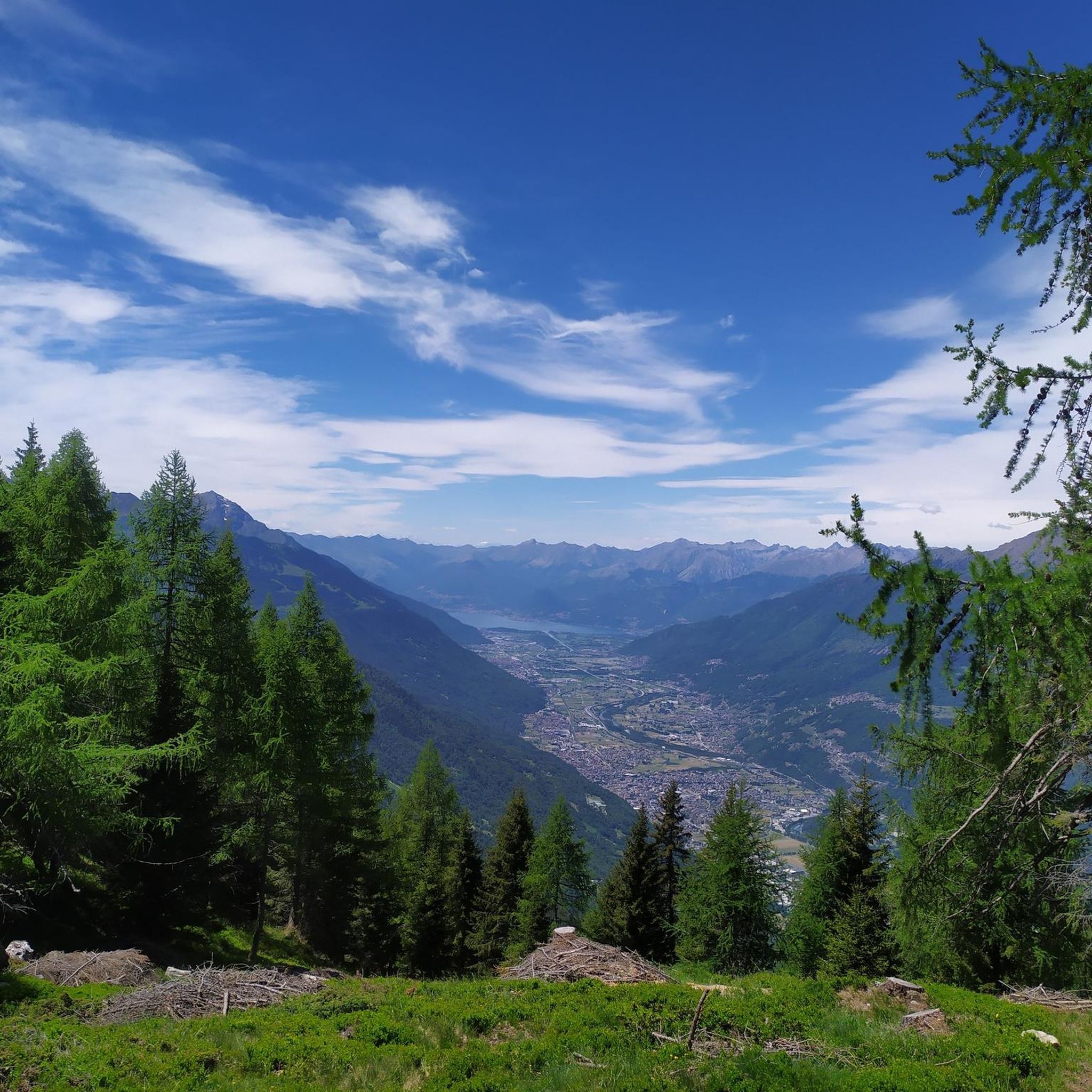
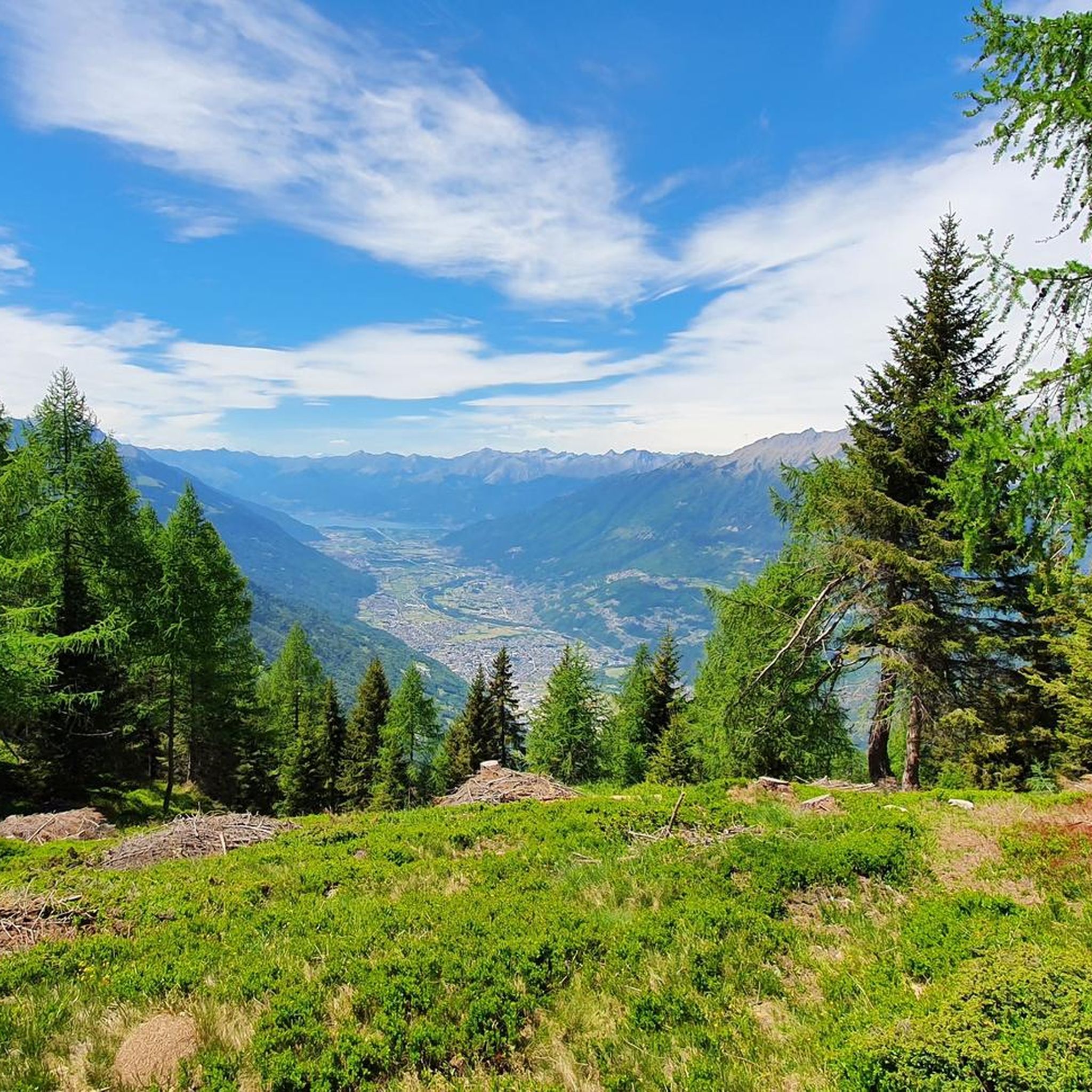
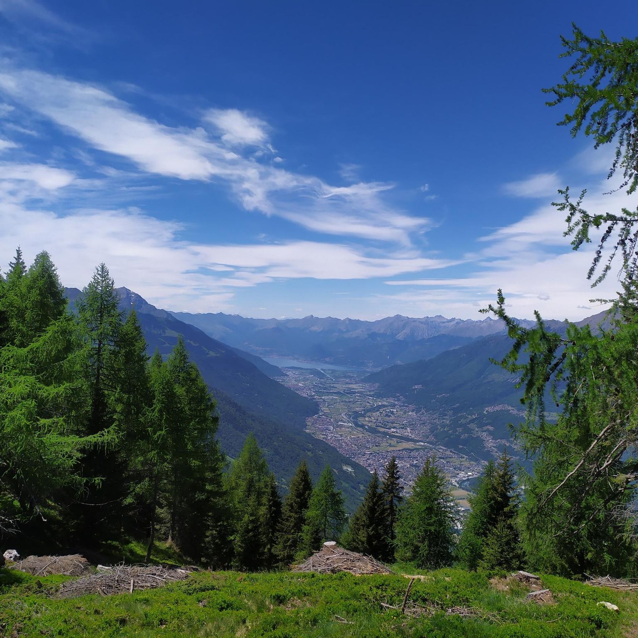
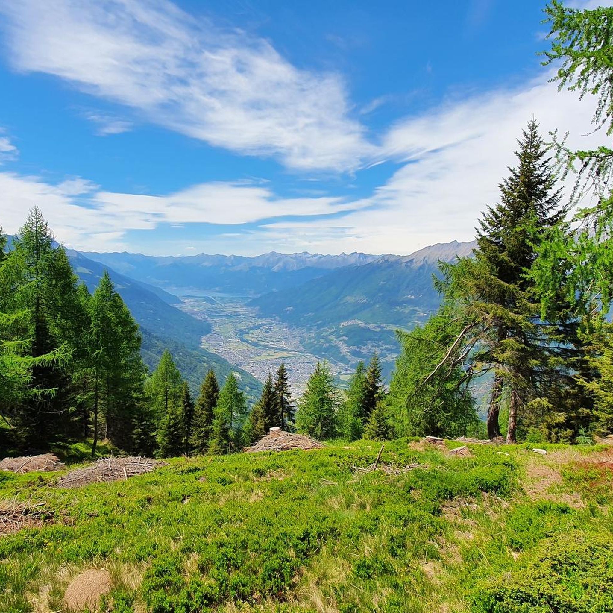
Hiking around Talamona offers access to a diverse landscape in the lower Valtellina region of Lombardy, Italy. The area is characterized by mountainous terrain, including numerous peaks, passes, and canyons, providing varied backdrops for exploration. Situated amidst the Alps, Talamona features an extensive network of hiking trails that cater to a range of abilities, from accessible paths to more challenging mountaineering routes. The region also includes natural features such as the Adda River and scenic valleys.
Best hiking trails around…
Last updated: September 1, 2026
5.0
(2)
31
hikers
Moderate hike. Good fitness required. Easily-accessible paths. Suitable for all skill levels.
4.5
(25)
139
hikers
Moderate hike. Good fitness required. Easily-accessible paths. Suitable for all skill levels.

Sign up for free
13
hikers
9.18km
03:40
670m
670m
Moderate hike. Good fitness required. Mostly accessible paths. Sure-footedness required.
4.0
(2)
14
hikers
7.44km
01:58
70m
70m
Easy hike. Great for any fitness level. Easily-accessible paths. Suitable for all skill levels.
7
hikers
28.5km
09:21
1,150m
1,150m
Hard hike. Very good fitness required. Mostly accessible paths. Sure-footedness required.
Get access to more routes and recommendations from other explorers.
Sign up for free
Already have an account?
Our route recommendations are based on thousands of hikes, rides, and runs completed by other people on komoot.
Start today with a free account
Your next adventure awaits.
Login or Signup
Tips from the Community

This church, dedicated to the Holy Cross (Latin: "Santa Croce"), derives its patronage from the cross on which Jesus Christ died. The veneration of the Holy Cross largely originates with Saint Helena, the mother of Emperor Constantine the Great (who, after his victory at the Milvian Bridge before Rome, recognized Christianity as a religion and ended the long period of persecution with the Edict of Milan in 312). In the early fourth century, she undertook a pilgrimage to the Holy Land (Israel/Palestine) and brought numerous relics back to Europe, including the "True Cross" on which Jesus Christ was crucified. Helena is therefore often depicted with a cross as her attribute. The Church celebrates the Feast of the Exaltation of the Holy Cross on September 14th, commemorating the discovery, public presentation, and veneration of the Holy Cross.
0
0

On the summit plateau of Culmine, we find a recently opened refuge (May 2016) called La Casermetta. The refuge was created from the renovation of a military barracks built during the First World War but also used during the Second.
0
0

there is a fountain where you can cool off and get water
0
0

Very characteristic village, full of lanes and rustic steps between the houses.
0
0

Very nice old bridge over the Adda.
2
0

A beautiful ancient stone bridge with a truly evocative landscape along the Valtellina cycle path.
0
0
One of the many graceful bridges on the Bitto river
0
0

Frequently Asked Questions
How many hiking trails are available around Talamona?
Talamona offers a diverse network of over 10 hiking trails. These routes cater to various abilities, ranging from moderate paths suitable for pleasant outings to more difficult, long-distance routes that require significant fitness.
What kind of terrain can I expect on hikes in Talamona?
The terrain around Talamona is highly varied, characterized by mountainous landscapes, river valleys, and alpine passes. You'll find everything from accessible paths with minimal elevation gain to challenging routes through peaks, passes, and canyons, offering diverse backdrops for exploration.
Are there any easy or family-friendly hiking options in Talamona?
While there are no routes specifically classified as 'easy' in our current selection, Talamona does offer several moderate trails that are suitable for a pleasant outing. These routes often feature varied terrain and can be enjoyed by families looking for accessible paths. For example, the View over the Adda River – Ganda Bridge in Morbegno loop from Talamona is a moderate option that provides scenic views.
What are some challenging hikes for experienced trekkers in Talamona?
For experienced hikers seeking a challenge, Talamona offers several difficult routes. A notable option is the Alpe Pedroria – Summit cross of Monte Pisello loop from Talamona, which covers over 20 km and includes significant elevation gain, leading through alpine landscapes. These routes often require very good fitness and sure-footedness.
Are there any circular hiking routes available in Talamona?
Yes, many of the trails around Talamona are designed as circular routes, allowing you to start and end at the same point. Examples include the popular View over the Adda River – Ganda Bridge in Morbegno loop from Talamona and the Km 20.0 – Reflections loop from Talamona, both offering varied terrain for a complete experience.
What natural attractions or landmarks can I see while hiking in Talamona?
Talamona's hiking trails offer access to stunning natural features and historical landmarks. You can explore beautiful natural water bodies like the Ponteranica Lakes, where Mount Ponteranica reflects in the water, or the Porcile Lakes. The region also features significant mountain passes like the Dordona Pass, known for its panoramic views and nearby WWI trenches, and the Passo San Marco 2000 Mountain Hut, offering exceptional views of the Rhaetian and Orobie Alps.
What do other hikers enjoy most about hiking in Talamona?
The hiking trails in Talamona are highly rated by the komoot community, with an average score of 4.5 stars from over 2850 reviews. Hikers frequently praise the diverse landscape, which includes mountainous terrain, river valleys, and alpine passes, providing varied and picturesque backdrops for exploration.
Are there mountain huts or refuges along the trails in Talamona?
Yes, the region around Talamona features several well-placed huts and mountain passes that serve as excellent resting points and offer breathtaking views. Notable examples include the Cesare Benigni Hut, which provides 360-degree panoramic views of the Bergamo Orobie and Valtellina Alps, and the Passo San Marco 2000 Mountain Hut, strategically located for excursions.
What is the best time of year to go hiking in Talamona?
The best time for hiking in Talamona generally depends on the specific trails you plan to tackle. The region's diverse terrain, from river valleys to high alpine passes, means conditions can vary. Spring and autumn often offer pleasant temperatures and vibrant scenery, while summer is ideal for higher-altitude routes. Winter hiking is also possible, but may require specific gear and experience for snowy conditions.
Are there any specific trails that offer views of the Adda River?
Yes, if you're looking for views of the Adda River, the View over the Adda River – Ganda Bridge in Morbegno loop from Talamona is an excellent choice. This moderate route specifically highlights the river and passes by the Ganda Bridge, offering scenic perspectives of the valley.
Can I find trails that lead to scenic viewpoints or summit crosses?
Absolutely. Many trails in Talamona lead to rewarding viewpoints. For instance, the challenging Alpe Pedroria – Summit cross of Monte Pisello loop from Talamona takes you to a summit cross, offering expansive alpine vistas. The mountain huts and passes, like the Cesare Benigni Hut and Dordona Pass, are also renowned for their panoramic views.
Most popular attractions around Talamona

Get inspired with the komoot mobile app


Explore more
Browse the best Hikes in other regions.
